We hiked a portion of the Olmstead Loop Trail in the Auburn State Recreation Area on a warm spring morning when the hills were still green and wildflowers were still in bloom.
We only hiked 6.5 miles of the trail, which is longer, but we shaved a few miles off the southern portion because even early in the spring morning, it was already heating up which was a precursor for the heat to come.
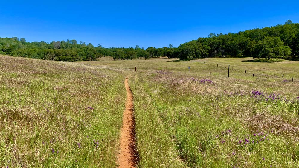
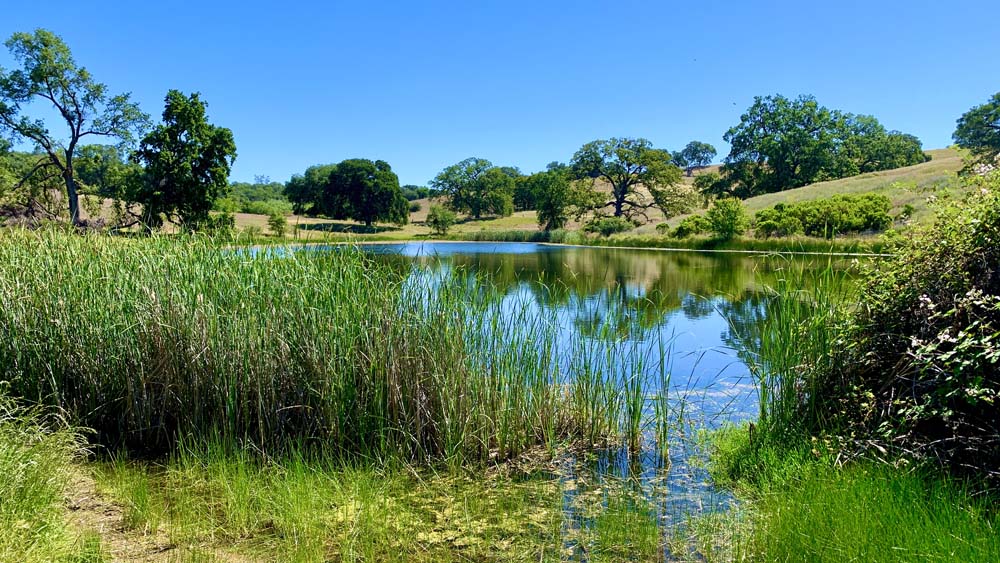
As we hiked, we came upon a small waterfall under oak canopy that flowed down a hill into from a pond we previously hiked past and into to another. It was really pleasant to stop and just take in the small waterfall by the trail. From there, we hiked out and emerged from the canopy to the green hills into a meadow where purple lupin populated the landscape and eventually came upon a hill loaded with California poppies.
As we followed the trail, we found ourselves descending .4 miles on a 12 percent grade over 229 feet, and then ascended 268 feet on a 6.3 percent grade over .8 miles. For some reason, the climb felt steeper than it was.
After climbing out of that, we came into more open space, where the foothills were green, past two more ponds before we followed the trail back to the parking lot.
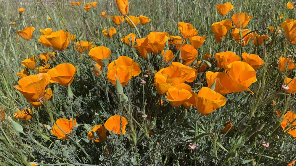
Besides the California Poppies and lupin, the trail we hiked took us past Castilleja, Hairy Vetch, Pale Flax, Narrowleaf Mule Ears, Salsify, Mariposa Lilies, among many other wildflowers.
Directions: From Auburn, take Highway 49 toward Cool. Turn right on St. Florian Court in front of the fire station. The parking area will be on the left. Parking is here: 38.889404, -121.017271
The Skinny
Trail: Olmstead Loop
Trailhead Coordinates: 38.888870, -121.017800
Trailhead Elevation: 1531 Feet
Distance: 6.6 Mile Loop
Level Of Difficulty: 🟠
Average Grade On Overall Uphill: 4.5%
Steepest Grade: 6.3% Over .8 Miles
Ascension: 932 Feet
Trail Condition: 🟢🟢🟢🟢
Scenery: 🟢🟢🟢
Nearest Town: Cool
Traffic: 🥾
Highlights: Scenery, Waterfall
Best Time: Fall, Spring
Hazards: Poison Oak, Temperatures Above 90 Degrees
Wildlife Concerns: Mountain Lions, Rattlesnakes
Cell Service: 📱 (AT&T)
Would I Do This Hike Again?: Probably Not
Parking: $10 At The Time Of This Writing
Restrooms: In The Parking Area