While the jewel hike at Jack London State Historic Park is the Mountain Trail to its highest point, another good hike is the Sonoma Mountain Ridge Hike.
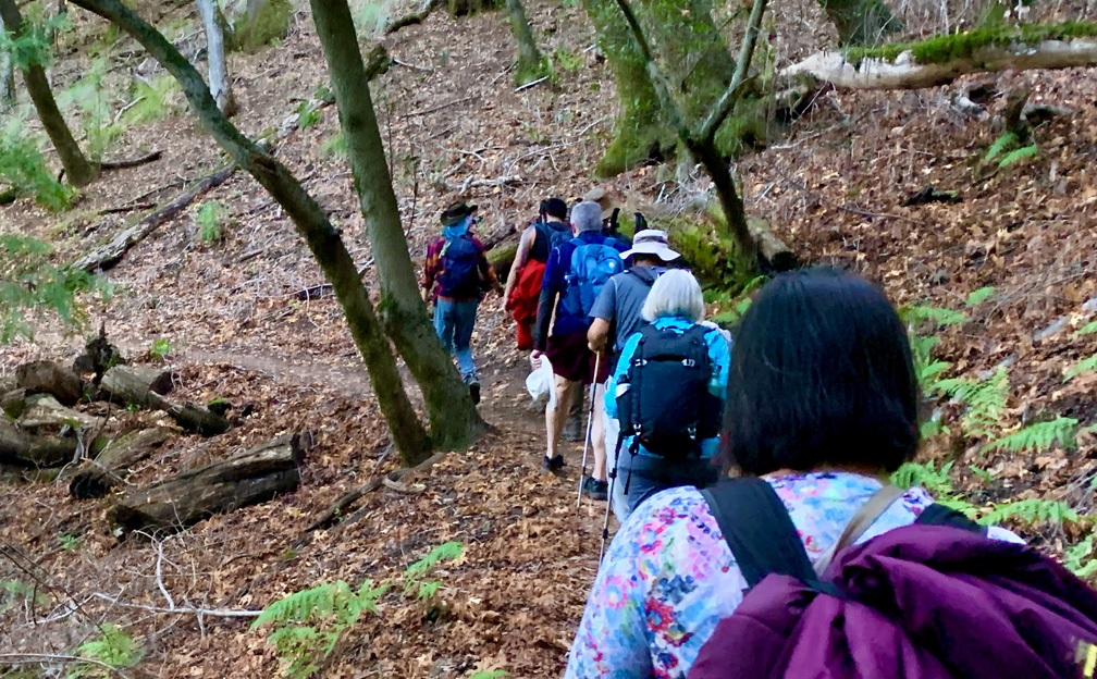
The hike starts off on the Lake Trail to London Lake from the Upper Parking Lot. As you begin, you hike past a picnic area, winery ruins and the distillery and turn and hike past a vineyard. Follow Mountain Trail which is a service road next to the wooded area. We stayed on Mountain Road as we passed an intersection where another trail leads to the London Lake.
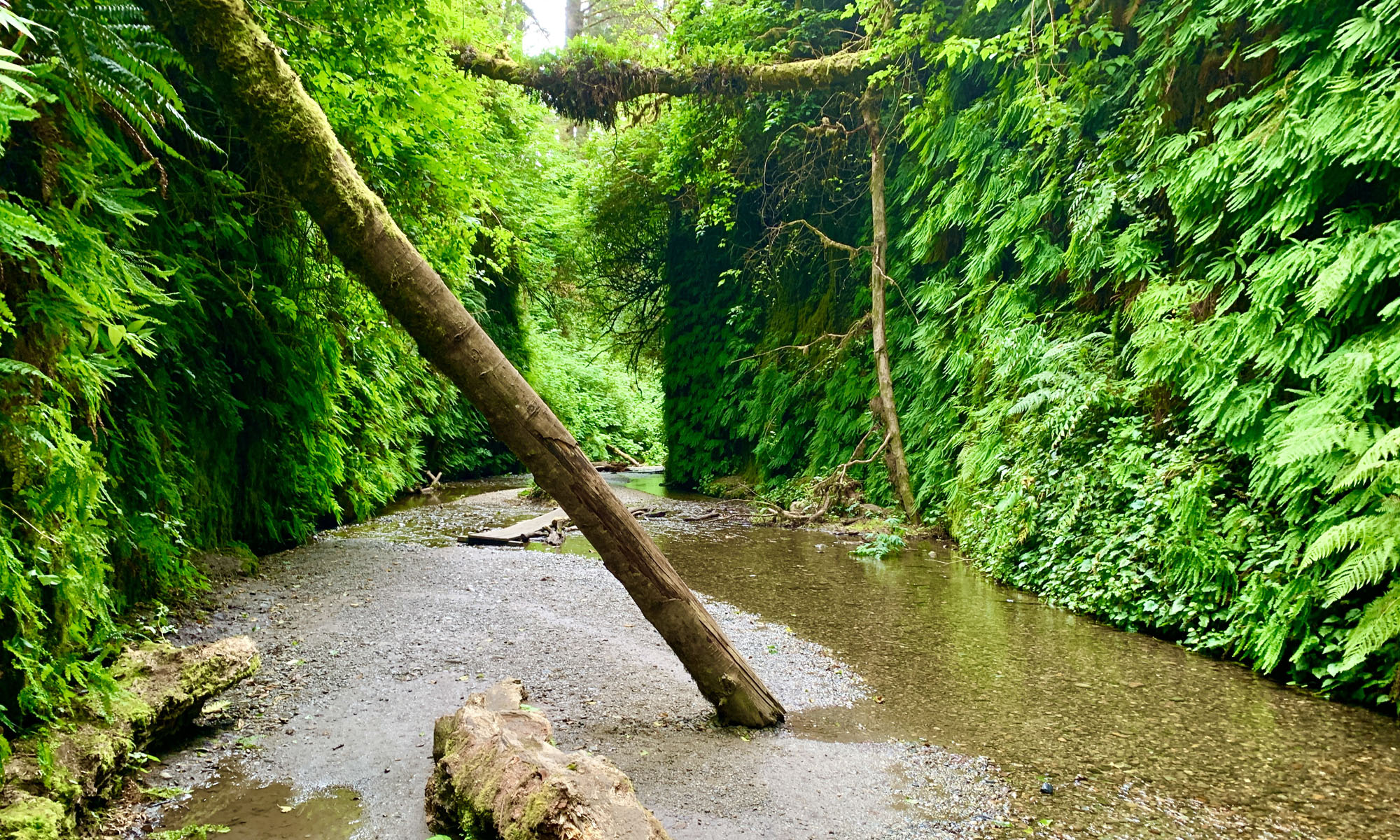
The trail starts to climb through the redwoods as you head to London Lake, and it continues past a picnic area and a holding wall for the lake and turns right as you continue to climb. Follow the road to May’s Clearing.
At May’s Clearing, on a clear day, you can stand on a bench and look to the south and see the water in the San Pablo Bay. Gaze out at the view and then continue on as you climb up through the forest. At about 2.16 miles from the trailhead, you’ll come to the Sonoma Mountain Ridge Trail to the left.
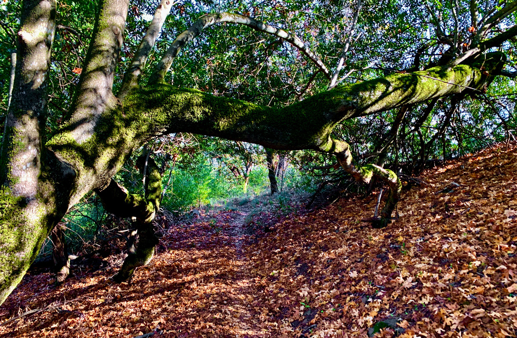
You’ll hike on a gradual 4.8 percent grade amongst oak trees, some manzanita and other trees. While the trail is shaded, which is great on a hot day, there aren’t too many views looking out from on the trail. There are a couple places where there are gaps, but the best view doesn’t come until you’re almost at the end. After 2.46 miles, you’ll come to a junction, and you have decisions to make.
To the right, you can take Coon Trap Trail, which will take you back down to another part of the park. To the left, you’ll start to loop around, and you’ll come back out on the Sonoma Mountain Ridge Trail where you previously were and then you can return back the way you came. Or you can go straight, which is what we did.
Our original plan was to take the Coon Trap Trail, head down to where the orchards are in the park, and then back to the parking lot, but we had to change out plans before we start to hike. The Coon Trap Trail is steep to the point where you can lose your footing. We thought we’d be okay with that if we had our trekking poles with us to help with our stability. But word was out that the trail was also eroded in places, so we opted not to go that way.
As we hiked straight on, about 500 feet later, we were at the park boundary, which was marked by a sign with a map of the park and trail ahead, which goes on for about a mile until it ends at a small loop and you start your way back. From this point, the trail runs next to private property, and there are signs telling you to stay on the trail.
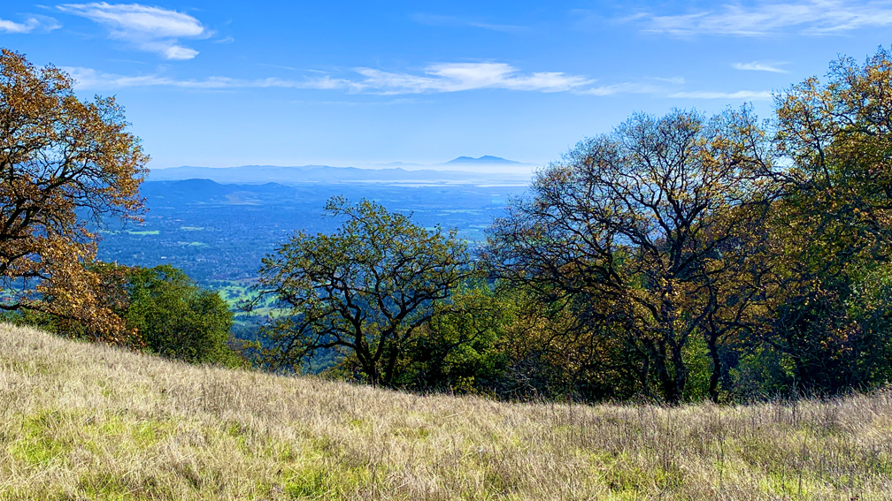
About .10 miles before you get to the small loop, there is an open space with views to the south. On a clear day, you can see Mt. Diablo. We stopped here to for a break, spent some time there to rest, had lunch and then returned back down.
Directions: From Sonoma, head west on West Napa Street toward and turn right onto Highway 12. Follow Highway 12 about 6 miles and turn left onto Arnold Drive. After about a mile, turn right onto London Ranch Road to the kiosk. Parking is here: 38.356111, -122.544728
The Skinny
Trail: Mountain Trail to Sonoma Mountain Ridge Trail
Trailhead Coordinates: 38.356320, -122.544960
Trailhead Elevation: 729 Feet
Distance: 11.5 Mile Out And Back
Level of Difficulty: 🟡
Average Grade: 4.5%
Steepest Grade: 18.4% over .1 Miles
Ascension: 2729 Feet
Trail Condition:🟢🟢🟢🟢
Scenery: 🟢🟢
Nearest Town: Glen Ellen
Challenges: There really wasn’t anything challenging about this hike
Traffic: 🥾
Highlights: Redwoods, Views Near The End
Best Time: Spring, Fall
Hazards: Mountain Bikers Sharing The Trail
Wildlife Concerns: Mountain Lions, Rattle Snakes
Cell Service: 📱📱 (AT&T)
Would I Do This Hike Again?:
Parking: $10 at the time of this writing
Restrooms: Vault toilet in the parking lot