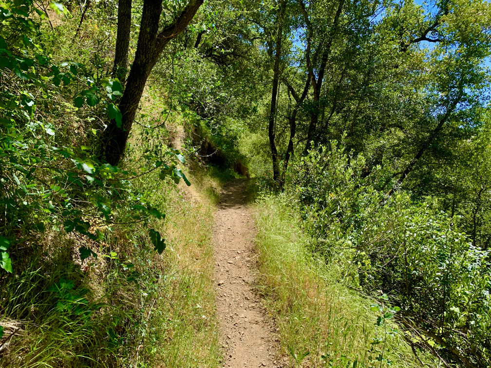
The hike to “Top Secret Swimming Hole” in Moore Creek Park is a beautiful foothill and forest hike. Most of the hike is under canopy, which provides good shade on warm or hot days, but parts of the hike can also challenge you.
This hike isn’t an out and back, but it’s not a loop or a lollipop either. Calling it “lollipoppie” is the best way to describe it, and it’s easier to start from the parking area and climbing up the Valentine Vista Trail.
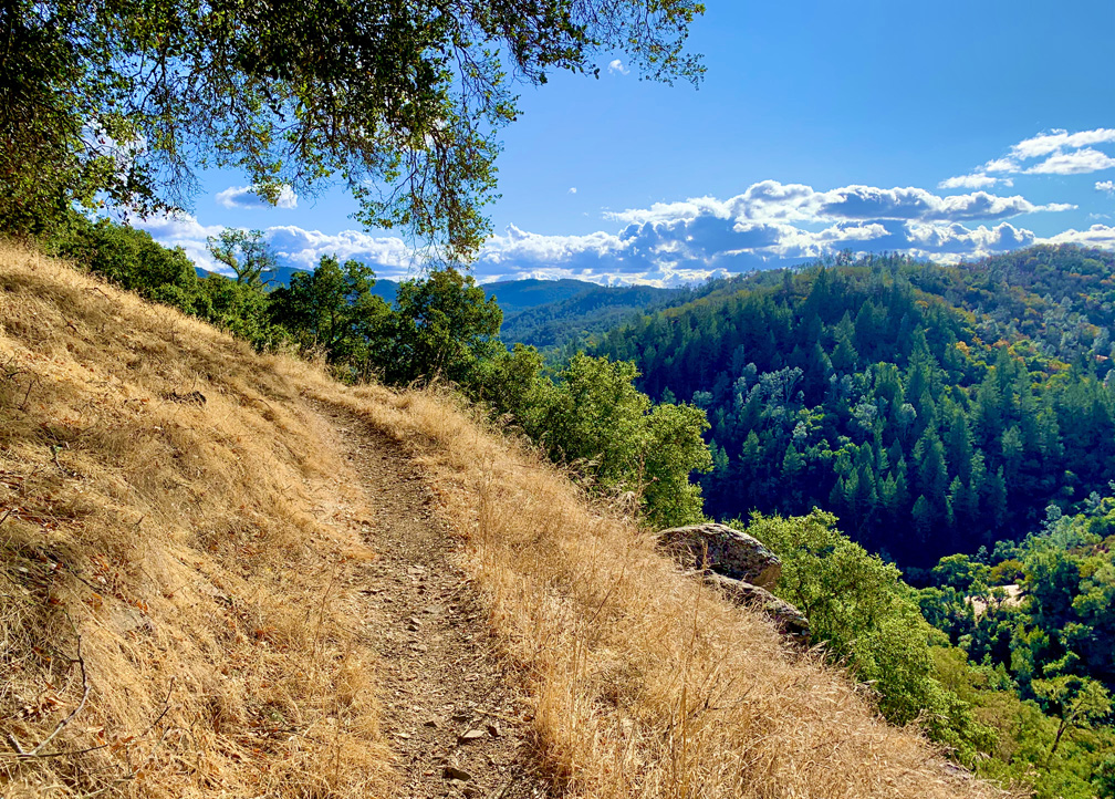
The Valentine Vista Trail offers great views of the oak and pine trees. If you want to take this trail, you can do it coming back or going to the swimming hole, but it’s easier to start on the Valentine Vista Trail as this climb isn’t as steep in that there are more switchbacks heading up. Going this way, you will climb on an overall 5.7 percent grade over two miles. If you choose to take this trail on the way back, you will climb on a 9.4 percent grade over one mile. It’s tougher, but after you get to the high point, heading back down to the parking lot is nice.
Once you come down from the Valentine Vista Trail, you will come to the Moore Creek Trail, which for this part is still a service road. Follow it under shady canopy as it leads you back further toward the swimming hole. Follow it for .3 miles, and you’ll come to a fork where you will have a choice to make.
If you go left, you will continue on the Moore Creek Trail, and if you go right, you can take the Dry Foot Trail. If you continue on the Moore Creek Trail, you will make three creek crossings. When we were there, the creek was low and not running very fast, so it was easy for us to cross. There are beams that you may cross on, but check them for stability. You can also step on rocks to cross, or you can just walk through the water if it’s calm enough.
At about 3.9 miles, you’ll come to a junction. This is where Moore Creek Trail and Dry Foot Trail converge again and continues on as the Moore Creek Trail. Remember this junction, as when you return, you can hike back on the Dry Foot Trail for a change of scenery and hike above the creek.
At four miles in, you start another climb over a .3 mile stretch on a 13 percent grade. Take your time. If you’re there during the right time of year, wildflowers will dot the way under the canopy.
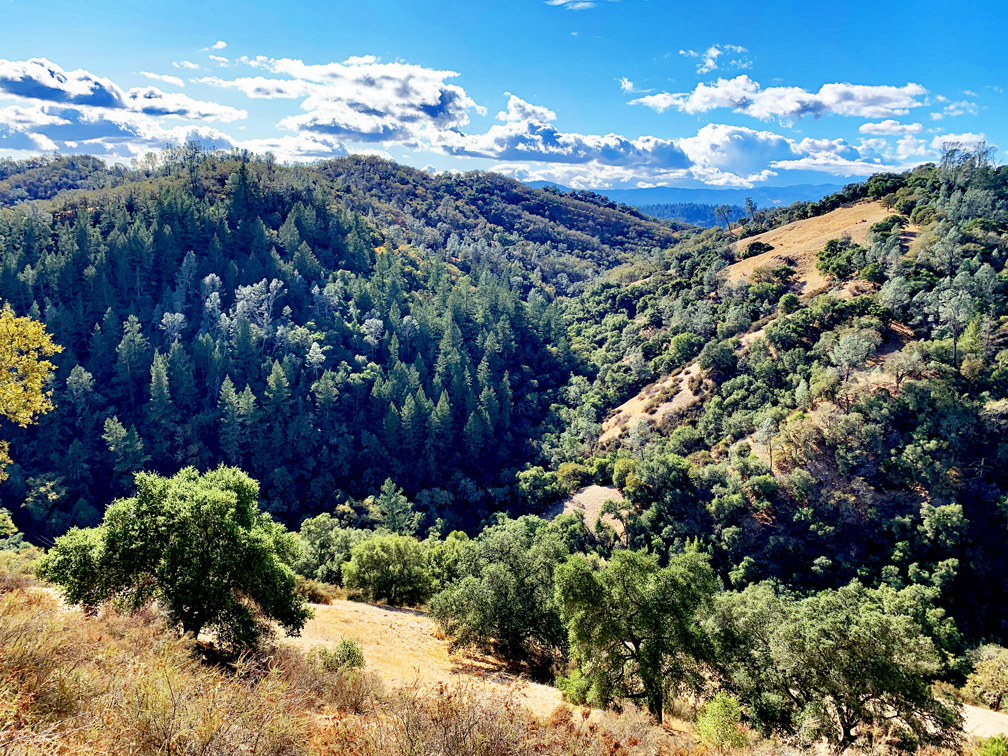
At 4.6 miles in, there is a fork that leads out to a vista overlooking foothills and Douglas Fir, among other trees and chapparal. Take it in and then continue back to the trail and on the way to the swimming hole.
After .10 miles, you will arrive overlooking the creek, and you will need to climb down. Be careful – it’s rocky, and there isn’t a trail. You will have to follow the creek back about 100 feet where you will do some scrambling to make it to the swimming hole.
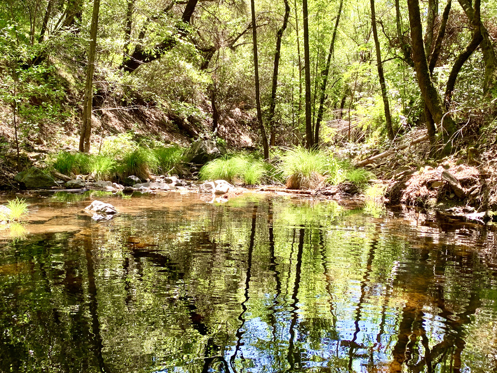
There are rocks around the pool where you can sit and enjoy your lunch or snacks, or just sit and take it in. We weren’t sure how deep the water was, but you might be able to wade in. Nobody in our group went in, so we don’t know if it was deep enough for swimming or not. We could see small fish swimming under the surface.
After you finish enjoying your time at the swimming hole, take the trail back. Take in the canopy and wildflowers if the time of the year is right, and listen to the birds chirp. There’s huffing, puffing and heart pounding on the trail, but this one is worth it during the right time of year.
Directions: From Napa, take Silverado Trail to Highway 128, and turn right. Take Highway 128 to Chiles Pope Valley Road 1.3 miles to the Moore Creek Park entrance and turn in to the left. Some people drive past the entrance in that there is a private residence there not thinking it is where you enter the park. It is. Just drive slow and be respectful to the residence. Parking is here: 38.510352, -122.355764
The Skinny
Trail: Valentine Vista Trail, Moore Creek Trail
Trailhead Coordinates: 38.509350, -122.354883
Trailhead Elevation: 355 feet
Distance: 7.8 miles – Lollipop
Level of Difficulty: 🟡
Average Grade: 1.5%
Steepest Grade: 23.5% over 385 feet
Ascension: 1410 feet
Trail Condition: 🟢🟢🟢🟢
Scenery: 🟢🟢🟢
Nearest Town: St. Helena
Challenges: Hiking uphill, Scrambling
Traffic: 🥾🥾 (And Mountain Bikers)
Highlights: Vistas, Wildflowers (at the right time of year)
Best Time: Spring, Fall
Hazards: Poison Oak, Scrambling over rocks, creek crossings
Wildlife Concerns: Mountain Lions, Rattlesnakes
Cell Service: 📵
Would I Do This Hike Again?: Yes
Parking: Free At The Time Of This Writing
Restrooms: Vault Toilet In Parking Lot