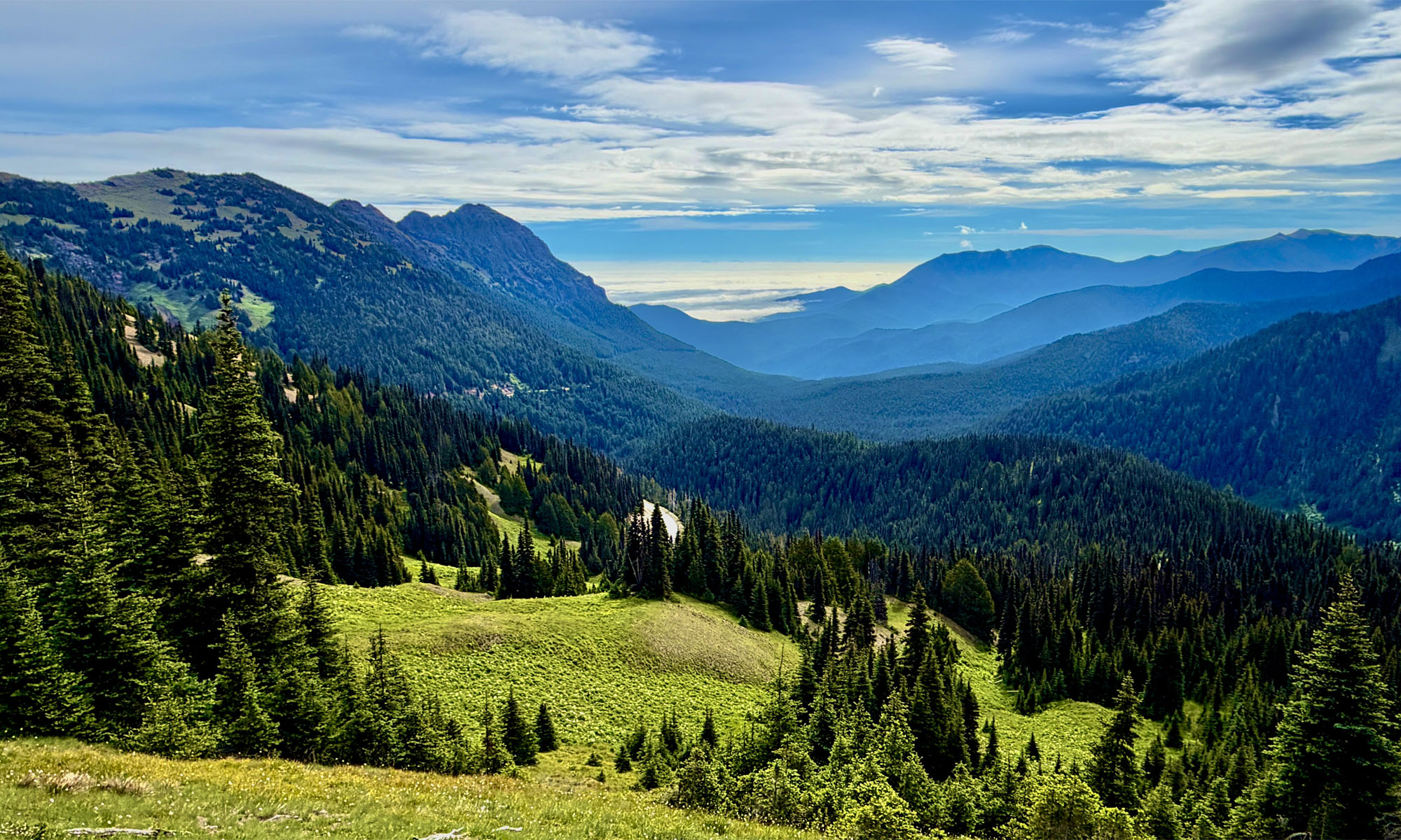
Lake Margaret is a beautiful back country lake in the Eldorado National Forest just 2.5 miles from the trailhead.
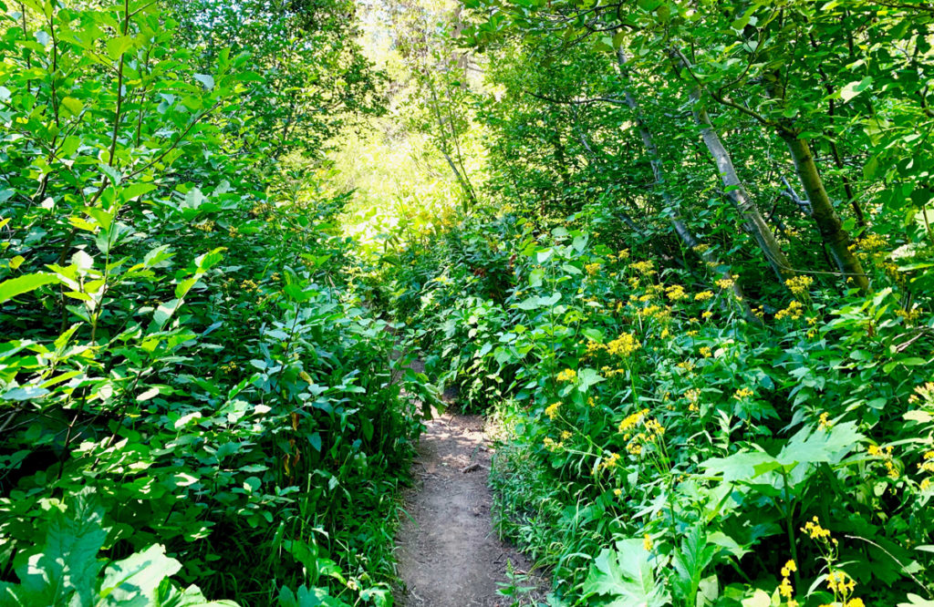
But don’t let that short mileage fool you. While the hike is pleasant and moves through forested areas, next to small bodies of water, and during the right time of year it is very flowery and green. There are, however, some challenges to overcome.
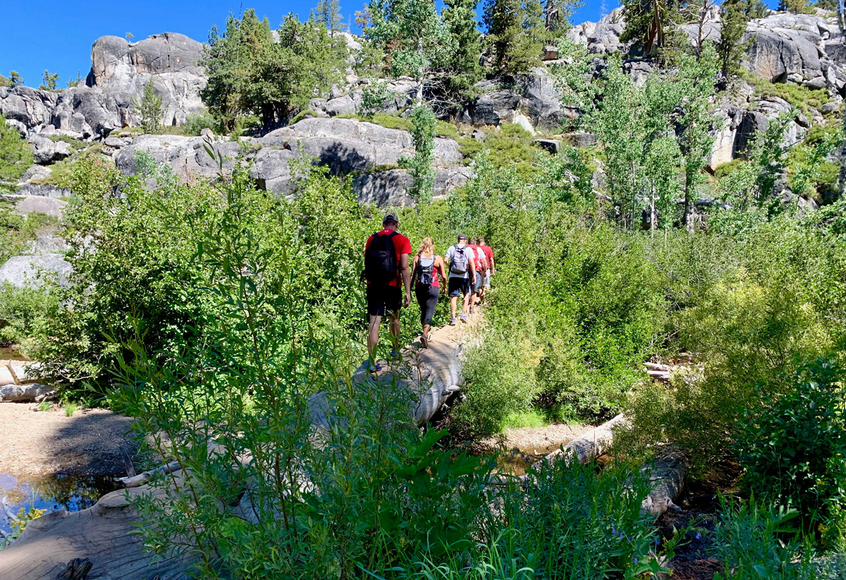
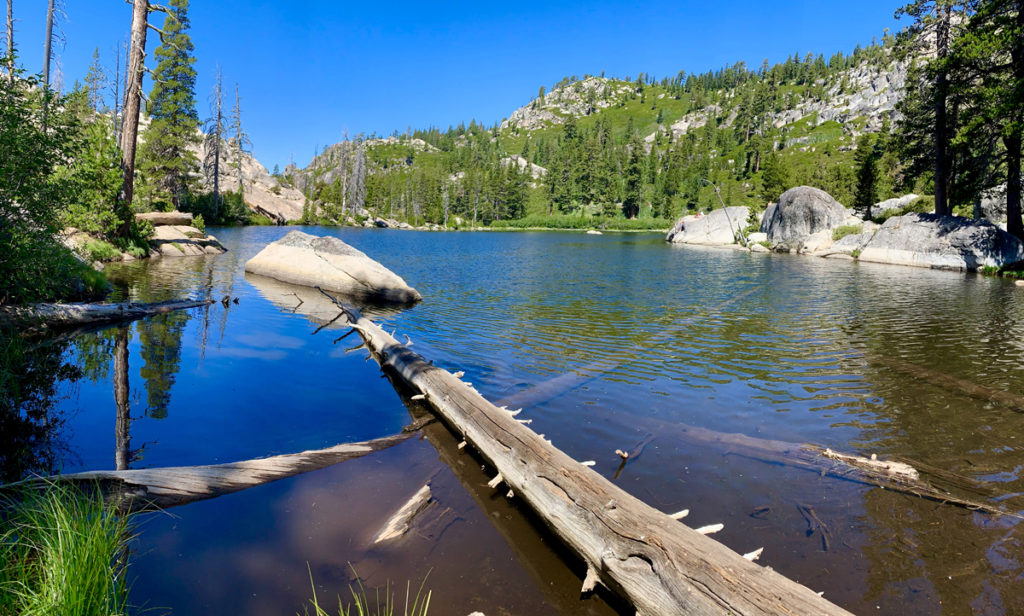
At three places along the trail you’ll have to cross rivers or streams on fallen logs where you’ll need to keep your balance or you’ll go for a swim. You also have to do some scrambling over granite and hike diagonally for short stretches on the sides of rocks as you ascend and descend on the trail. Some of the trail is also rocky in places. But when you get to Lake Margaret, it’s all worth the effort.
Overall, the trail is not strenuous, and there are only a couple of places where we had to stop and catch our breath. But that’s okay in that we could take in what was around us.
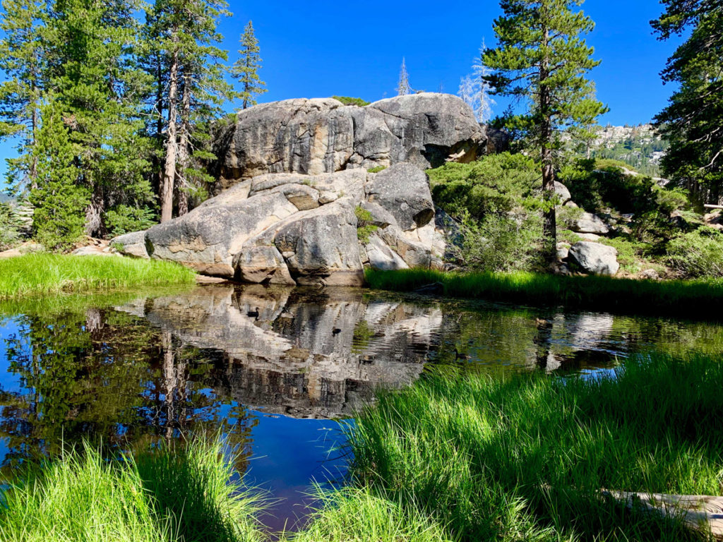
The lake itself is surrounded mostly by granite, and people jumped off the rocks into the water. There are also granite rocks high above the lake adventure seekers climbed up on to take in views from the higher vantage point.
The parking area is small and fills fast.
Directions: From Sacramento, take Highway 50 to the Sly Park Exit. Turn right onto Sly Park Road and follow it and turn on Mormon Emigrant Trail (it’s actually a road and is closed in the winter) and follow it to Highway 88. Turn left on Highway 88 and head East for 12.3 miles and turn left off the highway into the parking lot.
The Skinny:
Trail: Lake Margaret Trailhead
Coordinates: 38.704207, -120.069674
Trailhead Elevation: 7778 Feet
Distance: 5.3 Miles – Out and Back
Level of Difficulty: 🟡
Average Grade: 1.3%
Steepest Grade: 6.7% for .4 miles
Ascension: 695 Feet
Trail Condition: 🟢🟢🟢
Scenery: 🟢🟢🟢🟢
Nearest Town: South Lake Tahoe
Challenges: High Temperatures, Some Scrambling, Rocky Trail in Some Places Traffic: 🥾 on Weekdays, 🥾🥾 to 🥾🥾🥾 on Weekends
Highlights: Views, Wildflowers
Best Time: Summer, Fall
Hazards: Exposure
Wildlife Concerns: Black Bears, Mountain Lions
Parking: Free