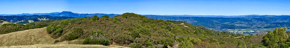
You have to work for it, but the view from the top of Bald Mountain is spectacular on a clear day. What makes it so spectacular is that as you take in a 360 degree view from the top, you can see the earth curve as you turn your head from landmark to landmark in all directions – something no picture can capture.
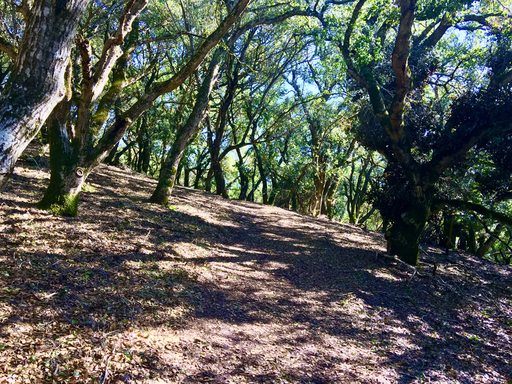
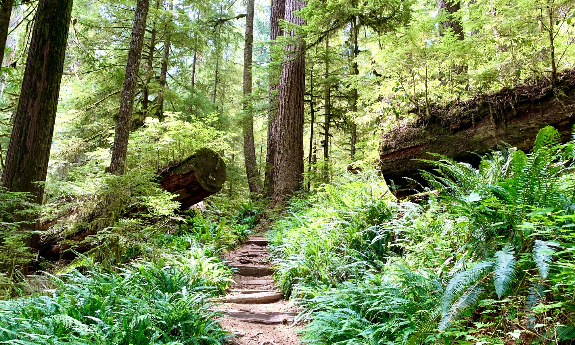
The first mile of this trail is an ascent that moves through oak and madrone trees before coming into an exposed area on this 12 percent grade that comes out on a paved road. There is also a bench near here, and you may want to rest a bit, as the hike can be tiring for some.
The next 1.4 miles toward the top is a 12 percent grade on pavement. There is a picnic table for eating or just resting. Most of the pavement hike is exposed, and you will come to a fork. Turn north east and soldier on for .4 more miles where you’ll ascend another 300 feet on a 13 percent grade, and after winding around, you’ll find yourself at the top of Bald Mountain. Take a seat on bench, rest and take the views.
If the day is clear, you may see Cobb Mountain, Snow Mountain, Blue Ridge, Berryessa Peak, Lake Hennessey, Napa Valley, the town of Napa, Mount Diablo, Mount Veeder, the city of San Francisco, Mount Wittenberg, Point Reyes, the Pacific Ocean and much more as you look out to the distance in varying directions.
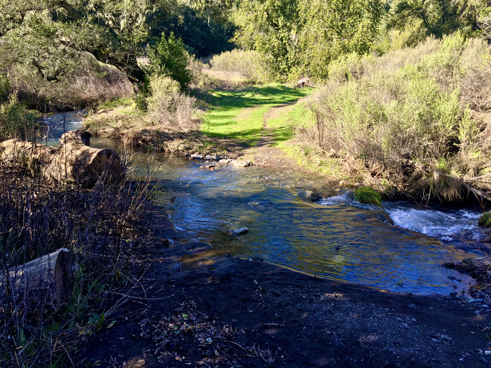
At this point, you can go back down the way you came, or you can continue on the Gray Pine Trail for 3.4-miles on a sometimes knee-jarring descent. Depending on the time of year, you may have to cross streams that flow pretty good, and if you’re not wearing boots with high enough uppers, the flowing water may invade your them.
At about .7 miles from the top of Bald Mountain on the Gray Pine Trail, you’ll come across a picnic table a trail junction where you can stop and rest if you want, or you can venture on. Two miles later, you’ll come across a set of picnic tables, and in about another mile you’ll be back in the parking lot.
If you are going to hike to the top of Bald Mountain, it might be best to take take the paved road way to the top. In the summer when the temperatures get really hot, the Gray Pine Trail can become cruel. No matter which way you go, be sure to take plenty of water.
Directions: From Sonoma, take Highway 12 West about 10.5 miles to Adobe Canyon Road and travel 2.1 miles to Sugarloaf State Park.
The Skinny:
Trail: Bald Mountain at Sugarloaf Ridge State Park
Trailhead Coordinates: 38.438056, -122.514002
Trailhead Elevation: 1216 Feet
Distance: 6.4 Miles – Loop
Level of Difficulty: 🔴
Average Grade: 5.5%
Steepest Grade: 11% over 2.6 miles
Ascension: 1933 Feet
Trail Condition: 🟢🟢🟢
Scenery: 🟢🟢🟢🟢
Nearest Town: Kenwood
Challenges: Hot Summers, Steep Climb That Doesn’t Seem To End
Trail Traffic: 🥾 to 🥾🥾
Highlights: Curvature View From Bald Mountain
Best Time: Spring, Fall, Winter
Hazards: Temperatures higher than 90 degrees Fahrenheit
Wildlife Concerns: Mountain Lions; Rattlesnakes
Cell Service: 📱 (AT&T)
Would I do this hike again? Yes
Restrooms: Vaulted Toilets at the Trailhead
Parking: $10 at the time of this writing