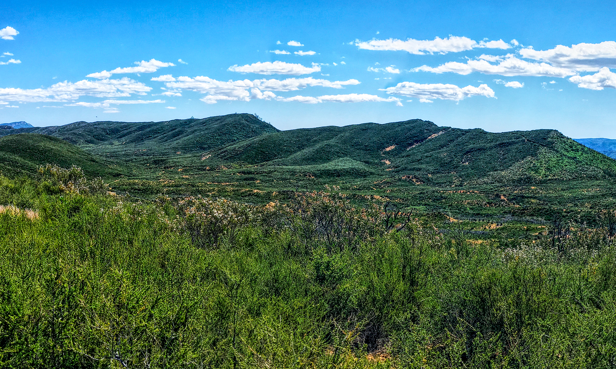
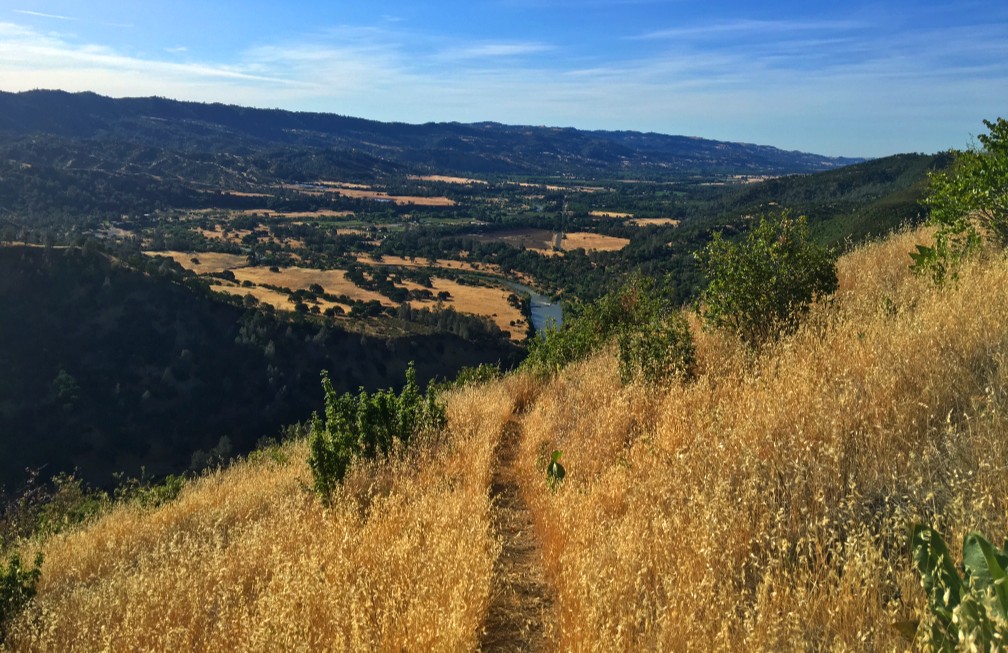
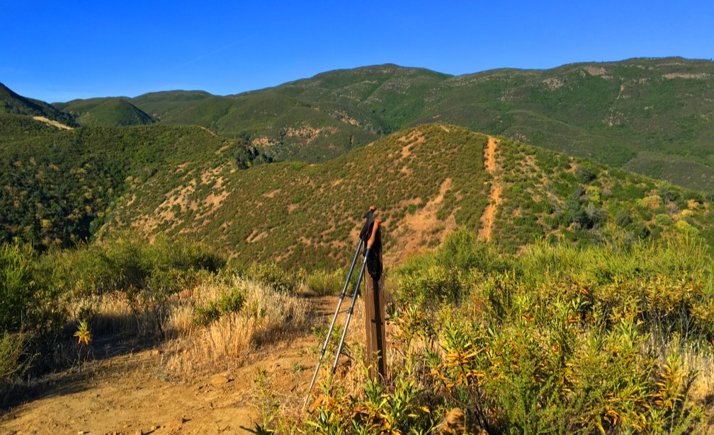
The hike up to Valley Vista Trail can be heart pounding in areas and seemingly level in others while you ascend the entire time. On a clear day while hiking, you can see the Sutter Buttes, portions of the north end of Capay Valley, the Sacramento Valley and the Sierras way out to the east.
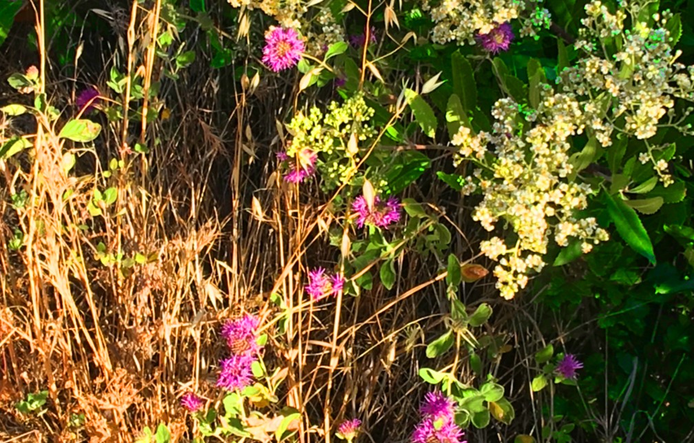
The hike starts off easily enough under oak trees and meanders around the side of the hill before the you start to climb on a series of switchbacks. Watch for bull thistle and poison oak and plants that like to greet you with a poke. During the right time of the year, besides the purple bull thistle, you can see Indian Paintbrush that grows near the trail and other blooming wildflowers.
If you’re hiking on a hot day, when you reach the canyon side of the hill, a breeze blowing up from the canyon could feel like a refreshing gift from heaven.
While hiking up the hill, I came across a couple of adjoining trails, but there are trail markers that keep you on the straight and narrow. I came across another junction that wasn’t marked, and I used my best judgment and took the trail the looked more maintained.
Overall, the Valley Vista Trail is very well maintained. It was built and is maintained by volunteers with Tuleyome, a nonprofit conservation organization. The trail is narrow in places, and you may want to take trekking poles or a hiking stick with you. It’s narrow in places and can drop straight down. There is one part of the trail where a rock couldn’t removed, and you’ll have to climb over it. There is a rope in place with a holder in it for your foot, and you’ll have to use your hands to pull yourself up, but it’s a short climb.
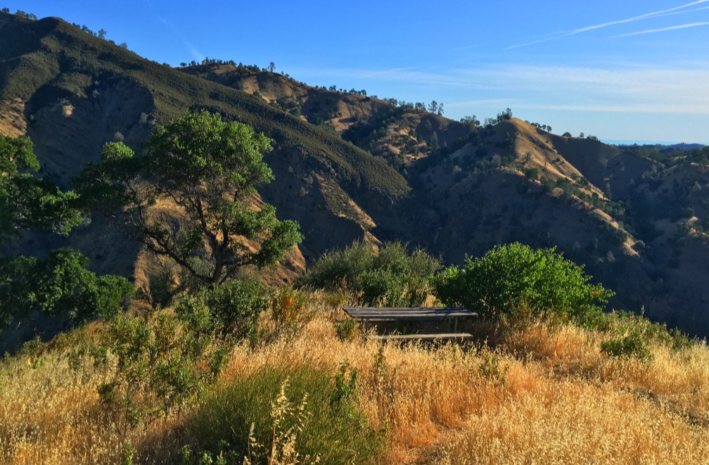
As you hike on up, enjoy the views, and just before the upper knoll, there is a picnic table where you can stop and have lunch. After you’ve sat for awhile, continue to the top of Rumsey Knob. This last leg of the trail is steep, but it only climbs for a couple of hundred feet.
Once you get to the top, take a look around. On a clear day, the views can be sweeping where you can see the Sutter Buttes, Parts of Capay Valley, Sacramento Valley and the Sierras to the east.
While I only hiked 2.2 miles from the trailhead to Rumsey Knob, others hike on about another mile or so to Lookout Point, which ascends higher. I will do this hike again in the fall on a cooler day and make that trek. This is not a trail for a hot summer day. This trail is rated hard by most review sites, but the portion I did wasn’t bad. There were some parts that made me breathe heavy and my heart pound. Going on is where I suspect it gets harder and earns that rating. Heading back down, the trail was on the steep side, and I had to watch my footing. If you have trekking poles, you can use to them to steady your descent where needed.
Directions: From Rumsey on Highway 16, head into the canyon about 2.2 miles to a large turn-out area and park here: 38.909627, -122.265771, which is a big open pull-out area across from Camp Haswell. A sign marks the trailhead.
The Skinny
Trail: Valley Vista Trail
Trailhead Coordinates: 38.909627, -122.265771
Trailhead Elevation: 502 Feet
Distance: 2.2 Miles – Out and Back
Level of Difficulty: 🟡
Average Grade: 14.6%
Steepest Grade: 24.9% over 241 Feet
Ascension: 906 Feet
Trail Condition: 🟢🟢🟢
Scenery: 🟢🟢🟢🟢
Nearest Town: Rumsey
Challenges: Steep climbs in certain places
Traffic: 🥾
Highlights: Sweeping views, wildflowers
Best Time: Morning
Hazards: Poison Oak, Potential Falls, Summer Heat
Wildlife Concerns: Mountain Lions, Rattlesnakes
Cell Service: 📱(AT&T)
Would I Do This Hike Again?: Yes
Parking: Free
Restrooms: None