Iwon’t sugar coat this. The hike to Castle Dome at Castle Crags State Park is not easy… especially on a hot day.
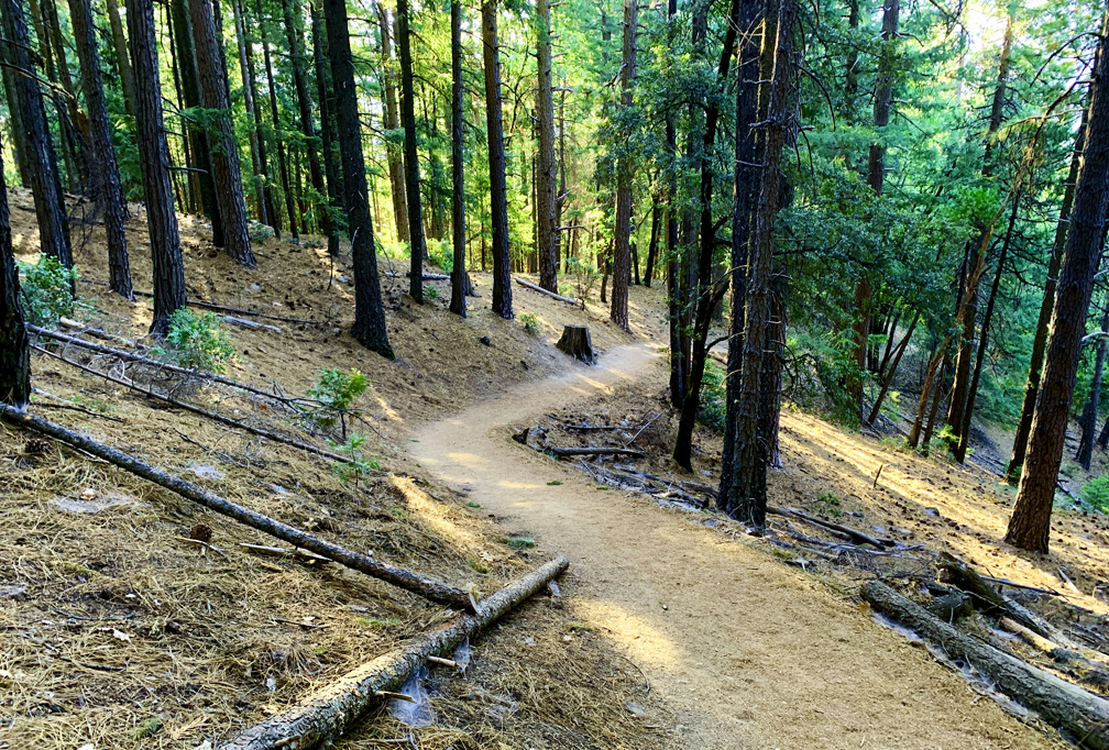
The hike starts off easy enough on the wide Root Creek Trail under forested canopy, but then you come to a junction about .3 miles in where you make a left turn, and then the climbing begins. Roughly after 500 feet, you will intersect with and cross over the Pacific Crest Trail.
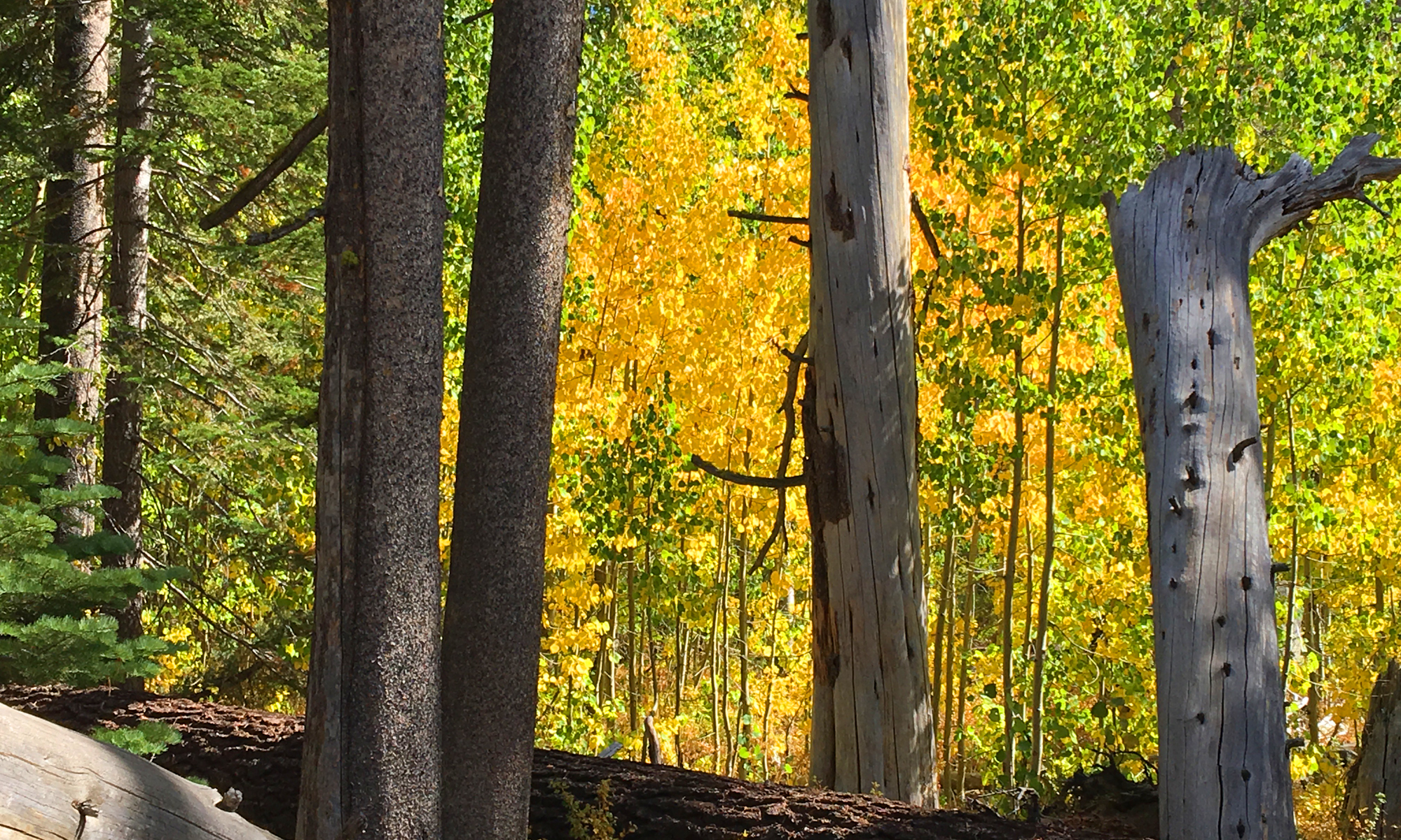
For about the first two thirds of the trail, you hike through pine forest, and while serene, it’s mostly uneventful. Once you reach about 1.65 miles, you will come to a trail intersection where you can check out Indian Springs. The spring is about .2 miles from the junction and may provide the only water on the trail if you find yourself in need. We opted to bypass this and continue on.
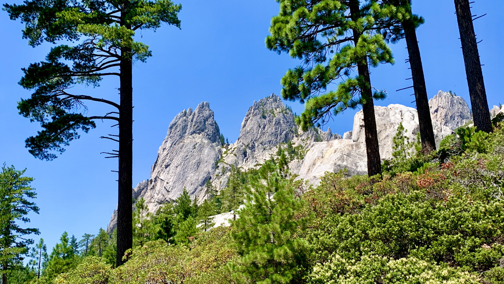
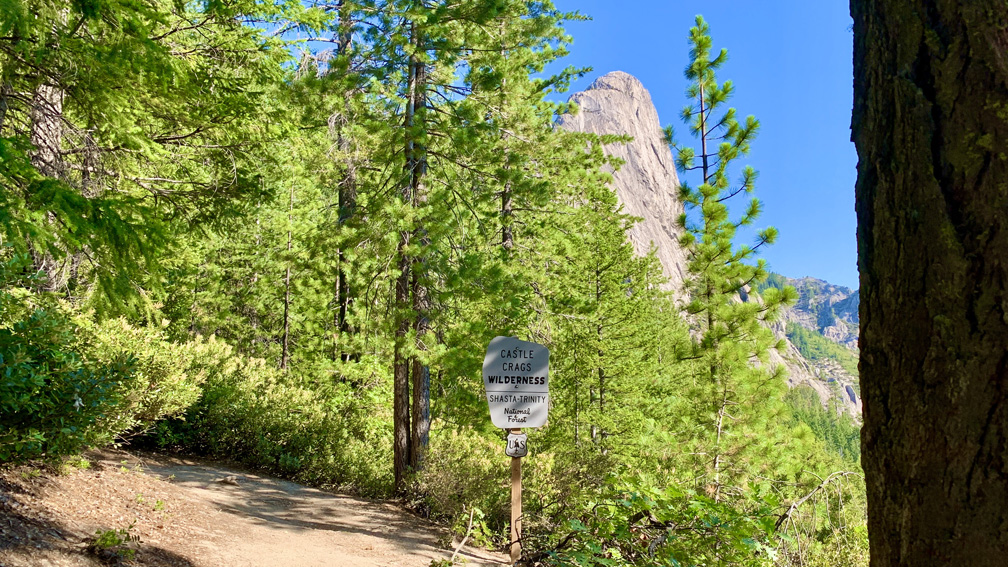
Shortly after passing the Indian Springs Junction, the trail Leaves Castle Crags State Park and enters Castle Crags Wilderness when you pass the sign. Shortly after the sign, you will see some pretty spectacular views of the Castle Dome Towers and Mount Shasta to the north. The trail turns away from this, and it becomes steeper. You’re still under canopy as you progress, but you’re hiking next to granite as you continue to hike upward.
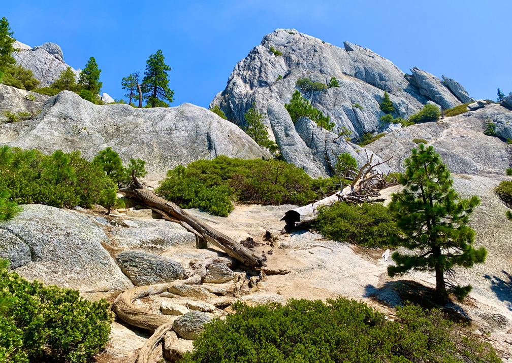
When you start to get into this area, the ground becomes to get a little more rocky, and along with taking in the scenery – this is where the trail starts to get good – you should also watch where you step so you don’t trip. Shortly after this, you will pass through a string of granite pinnacles and then climb as the trail passes between granite towers. This is where the granite portion of the hike begins.
The trail begins to get steeper as you progress on, but you finally come to where it opens up, the canopy fades somewhat, there are fantastic views of the forest below you along with Mount Shasta and Castle Dome.
From here, the trees become scattered, and the ground is mostly covered with chaparral. The developed trail does not go to the summit of Castle Dome and ends near the base. We chose not to go on, but other people did. It was not in our plans. We climbed on a hot day, and we rested under the shade of a couple of pine trees, took in the views and napped a little before we headed back.
Directions: From Castella, take Castle Creek Road to Castle Crags State Park where you will have to stop and pay the entrance fee. Turn right on Vista Point Road, also referred to as Kettlebelly Road on some maps, through the campgrounds and follow it for about a mile to the end where the small parking lot is. Parking is here: 41.159687, -122.306039
The Skinny:
Trail: Crags Trail to Castle Dome
Trailhead Coordinates: 41.159822, -122.306473
Trailhead Elevation: 2601 Feet
Distance: 5.6 Miles – Out and Back
Level of Difficulty: 🔴
Average Grade: 13.9%
Steepest Grade: 32.7% over .2 Miles
Ascension: 2296 Feet
Trail Condition: 🟢🟢🟢
Scenery: 🟢🟢🟢
Nearest Town: Castella
Challenges: The Ascent
Traffic: 🥾
Highlights: The Views
Best Time: Spring, Fall
Hazards: Exposure, Temperatures more than 90 degrees Fahrenheit
Wildlife Concerns: Bears, Mountain Lions, Rattlesnakes
Cell Service: 📱📱 (AT&T) at the Top
Would I Do This Hike Again?: Probably not
Parking: $8 day use at the time of this writing
Restrooms: In the parking area