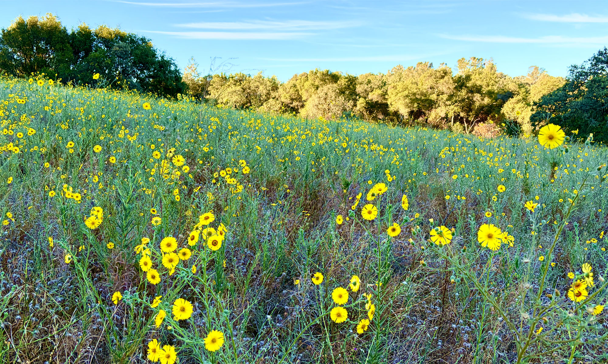
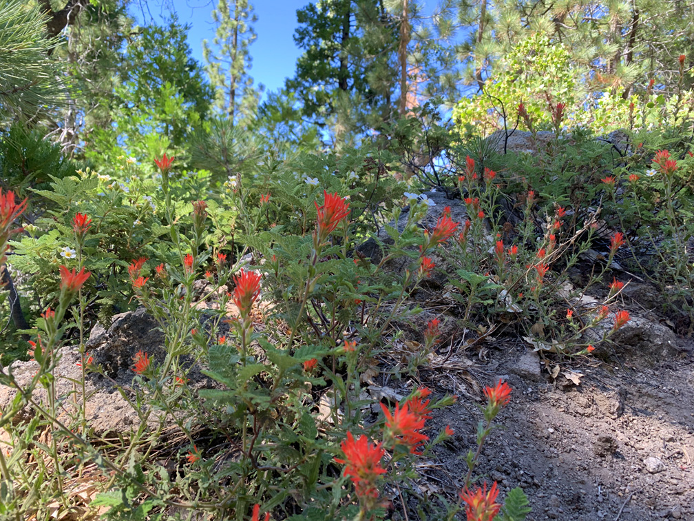
The Caples Creek Trail follows the cascades of Caples Creek through the forest, and during June and July there are usually wildflowers along the way. The trail starts off on an incline that continues for a little more than 3.5 miles, but overall it isn’t a bad slope as you hike through the forest.
Besides the wildflowers, the meadows were green when I hiked the trail in early July. In the fall, parts of the trail might be nice where the Aspen trees are, but there aren’t a lot of them, so don’t go expecting to see an explosion of color if you take a fall color hike.
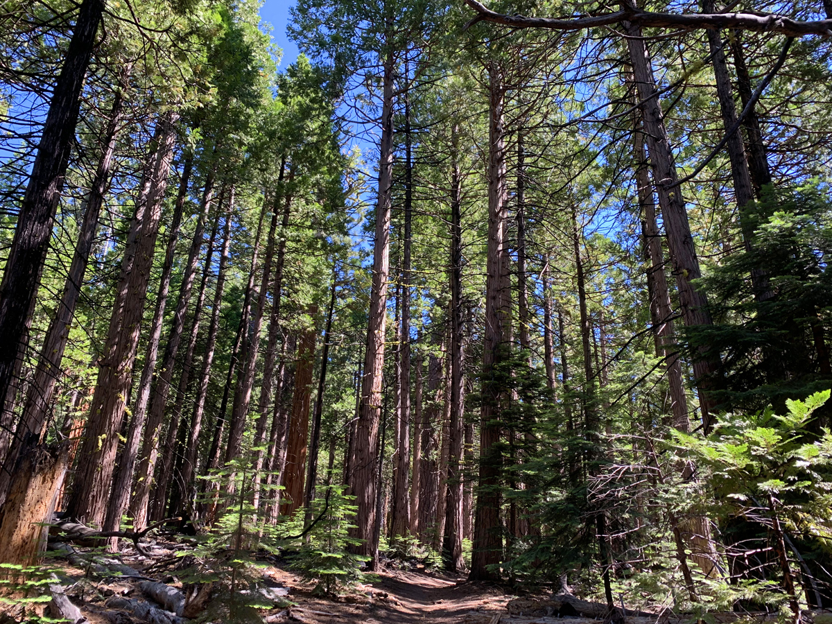
In most places the trail is easy to traverse, but in other places it’s rocky and you will do some climbing, but nothing too difficult. The most difficult part of the trail are the switchbacks, but they only cover .4 miles. The vast majority of the trail is under canopy, but even in the summer, it feels warm.
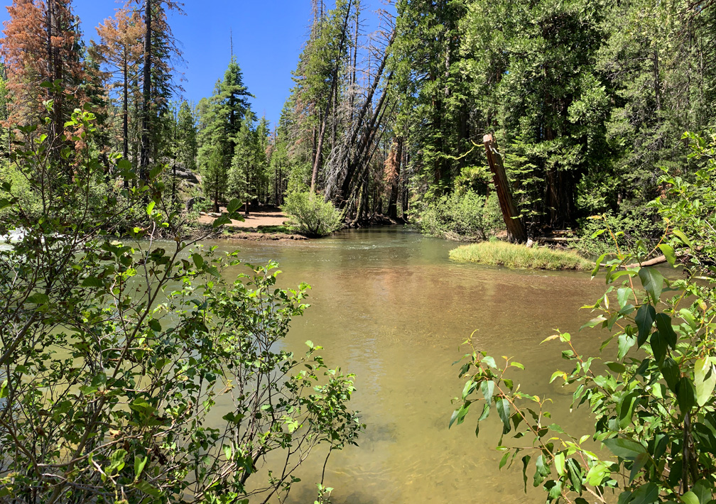
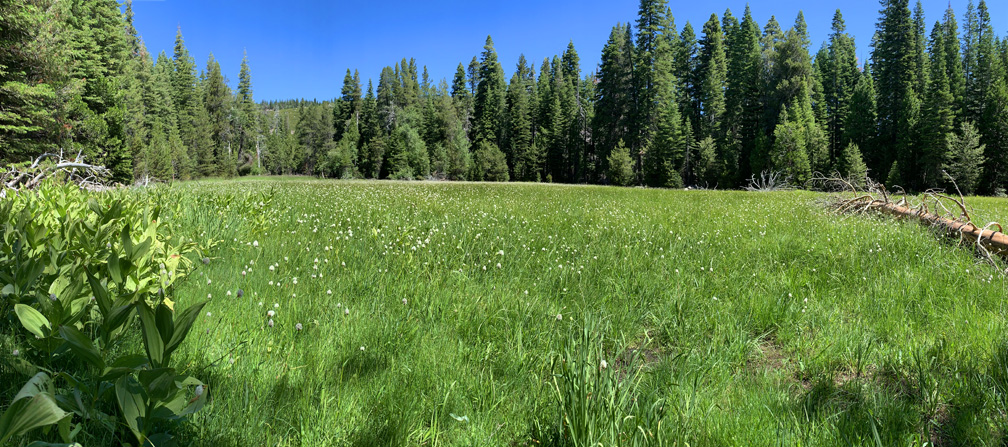
Once you make it to the fork where Government Meadow is, you start on a slight descent, and then you come to the meadow. It’s beautiful. If you stop to take pictures, prepare for mosquitos to extend you an itchy welcome. Once you’re back in motion, they’ll probably leave you alone. Continue on along the trail for a couple of more hundred yards, and you’ll come to an area that is “kind of” open but still under the trees next to Caples Creek where the trail ends. It’s clear that people camp here. It’s peaceful and relaxing. Stay a while and just enjoy the area before heading back.
Directions: From Sacramento, take Highway 50 East to Silver Fork Road. Turn right and proceed for 8.9 miles to the parking area on the left, which is small. Parking is here: 38.695280, -120.200490
The Skinny:
Trail: Caples Creek Trail to Government Meadow
Trailhead Coordinates: 38.694920, -120.198610
Trailhead Elevation: 5601 Feet
Distance: 8.2 Miles – Out and Back
Level of Difficulty: 🟡
Average Grade: 3.2%
Steepest Grade: 9.9% over .4 miles
Ascension: 981 Feet
Trail Condition: 🟢🟢🟢
Scenery: 🟢🟢🟢
Nearest Town: Kyberz
Challenges: High Temperatures
Traffic: 🥾 to 🥾🥾
Highlights: Views, Wildflowers
Best Time: Summer
Hazards: Exposure
Wildlife Concerns: Black Bears, Mountain Lions, Mosquitos
Cell Service: 📵 (AT&T)
Restrooms: None at the Trailhead
Parking: Free