The High Bridge Trail hike starts off on a brief service road going down to Bear Creek. Follow the trail signs, and they will point you to where the crossing should be, and you can see where the trail picks up on the other side of the creek. However, depending on what the water level is like, you may not be able to safely cross, and you may have to improvise your own way. If the water is running, you will have to use your own best judgment as to if crossing is wise, or if you should try it at another time.
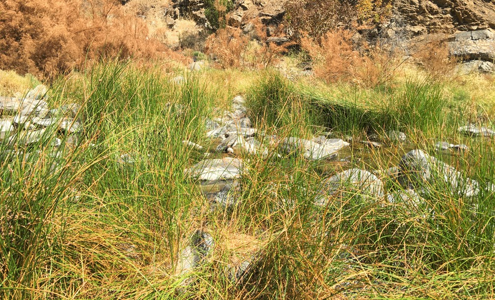
Some of the rocks sticking out of the creek are not stable, and they could shift under your feet. Also, a trekking pole could help give you more balance, and to test the rocks for looseness with it before you step on them. But a rock may not shift under the press of a pole. If you feel you have to step in the water, use the pole to test the depth too, even if you can see the bottom. The depth could be deceiving, and you may end up taking a much deeper step than you think you will (been there, done that).
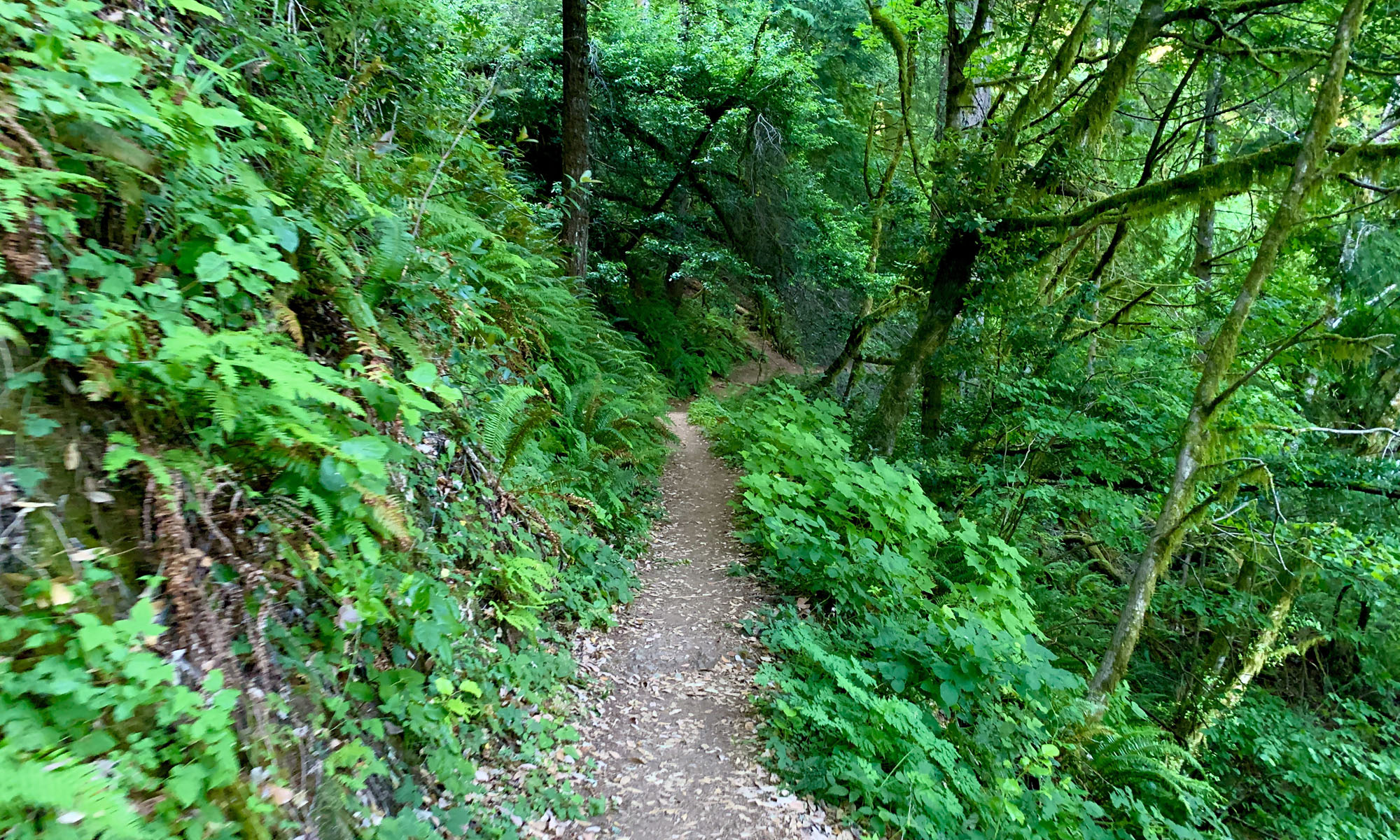
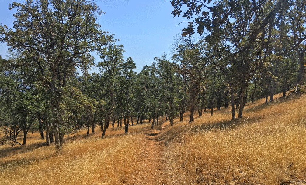
The hiking trail is beautifully maintained, and it makes the majority of the switchback ascension through the oak forest gentle. On a hot day above 90 degrees though, you will sweat. Hiking the hills of the Cache Creek Wilderness can be cruel in the summertime. If you choose to hike this area, the best time to start out is early in the morning.
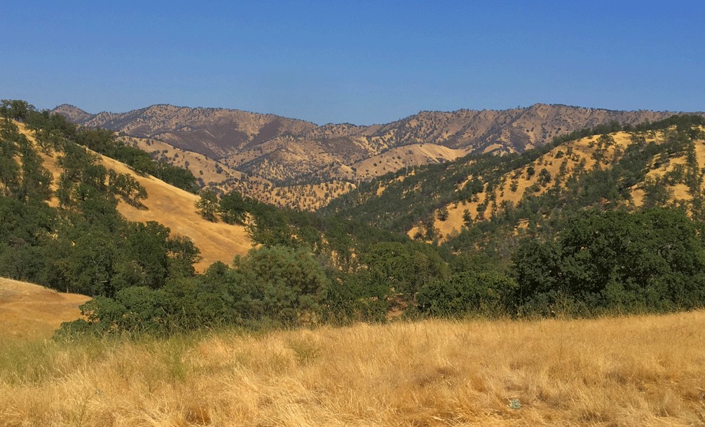
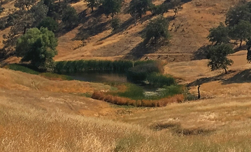
The hike itself is peaceful, as it traverses the foothills of the Cache Creek Wilderness, and it’s one of the easier hikes the foothill area has to offer. At about a little more than three miles into the hike, you will come upon a pond, and the trail will fork. I went right, but you may want to go left, as the trail goes around the lake and you will be able to come to this trail. When I went to the right, I walked through some heavy vegetation that grew very close to the trail and came up to my ankles. I’m not sure what the plant was, and I didn’t realize it at the time, but the oils from it got all over my pants and I carried the scent with me. It was strong, and on my way back, it started to make me sick. I had to stop on the trail and rest for a while before I was able to feel better and continue back. It also took several laundry washes – alone without other clothing in the washing machine – to get the oil off my pants.
I decided to turn around when the trail I was on came to a convergence with the Cowboy Camp Trail. Overall, if you like foothill hiking, this hike is pleasant, and I would do it again.
Directions: From Interstate 5 at Williams, take State Highway 20 west for about 19 miles to its junction with State Highway 16. Travel south on Highway 16 for 4.5 miles. The parking lot is on the right. Parking is here: 38.957015, -122.343294
The Skinny:
Trail: High Bridge Trail
Trailhead Coordinates: 38.956442, -122.343667
Trailhead Elevation: 887 Feet
Distance: 5.9 miles – Out and Back
Level of Difficulty: 🟡
Scenery: 🟢🟢🟢
Average Grade: 4.8%
Steepest Grade: 9.4% over 1.4 miles
Ascension: 1100 feet
Nearest Town: Rumsey
Trail Condition: 🟢🟢🟢🟢
Challenges: Crossing Bear Creek
Traffic: 🥾
Highlights: Oak Forests, Views
Best Time: Spring, Fall
Hazards: Temperatures higher than 90 degrees Fahrenheit
Wildlife Concerns: Mountain Lions, Rattlesnakes
Would I Do This Hike Again?: Yes
Parking: Free
Restrooms: Vault toilets in the parking lot