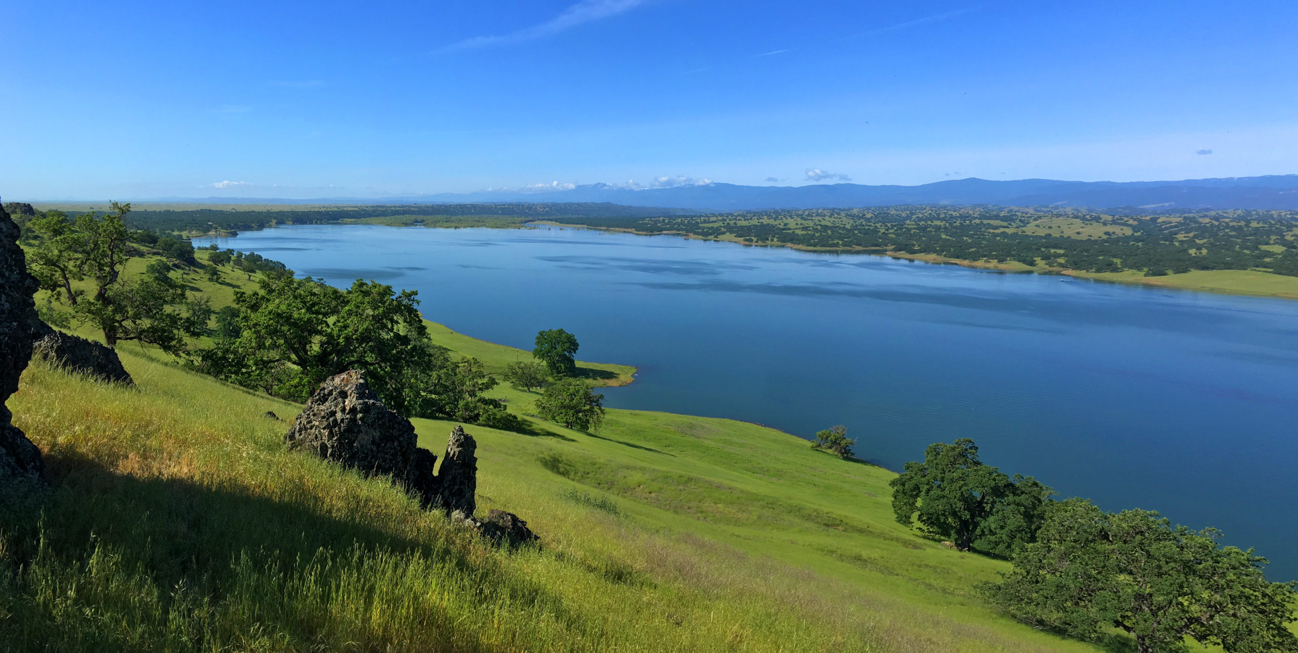
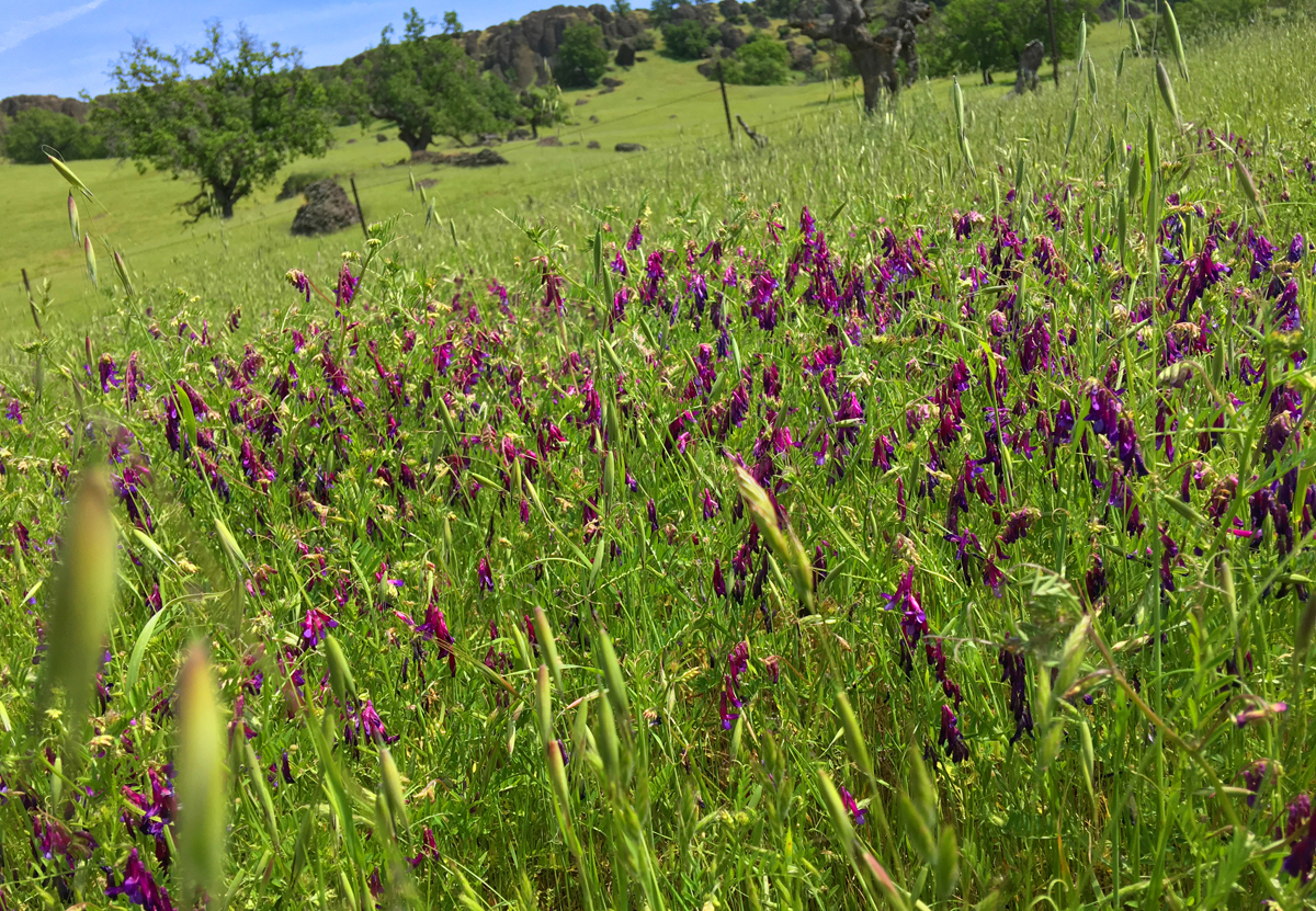
The hike from Eagle Pass to the Paul Thomas Trail can only be done in the springtime while the grasses are green before the summer sets in and the weather is still cool enough to be outside in the valley. The view from Eagle Pass you hike up to is incredible. It looks over to Black Butte, the lake itself to the west and the Coastal Mountain Range that spans the horizon running from the north the south that disappears to sight. Along the trail, you will probably come along patches of wildflowers.
After you take in the views from Eagle Pass, the hike really begins as you head south down a game trail toward a fence line, which is also a property line marker. The trail is a kind of road that looks like trucks or ATVs might use. Follow it. It is the trail, even though at times it may be overgrown, you should be able to make it out.
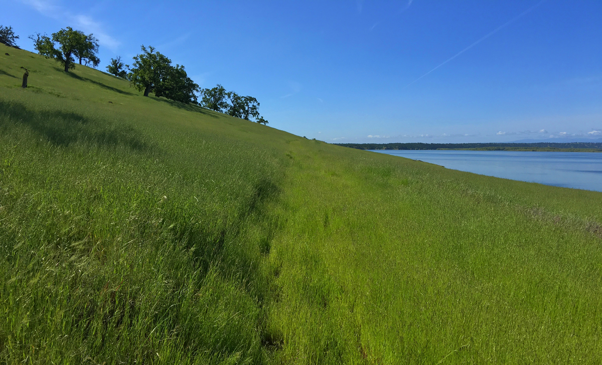
As you head south through the tall grass, you may see hawks or eagles flying above, or a nest up in an oak tree. Continue to follow the trail/road, and once you reach the end point you’ll come to a “developed area” and a sign that says Welcome to the Paul Thomas Trail.
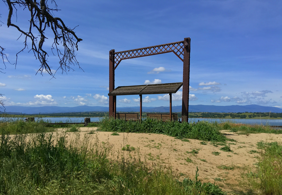
The Paul Thomas Trail leads out to a small peninsula where a monument to the Simpson Bridge has been erected with one of the archways from it. The bridge was in service from 1885 to 1961 or 1963 – there seems to be some dispute based on the sign and the placard at the site of the arch. Farmers used the bridge to transport barley over Stoney Creek. From there, return the way you came.
This is an enjoyable trail, but don’t do it in the summer or under the searing sun.
Directions: From I-5 at Orland, Take Newville Road (County Road 200) and head about 8 miles west, and you’ll come to an unnamed road at a T intersection where an Army Corps of Engineers Office is. Turn on that road, and follow it for .2 miles and turn left. Keep on that road for .5 miles and turn left again. Stay on that road for .4 miles until you reach the parking area. Parking is here: 39.804088, -122.344821
The Skinny
Trail: Eagles Pass Recreation Area
Trailhead Coordinates: 39.803652, -122.345235
Trailhead Elevation: 508 Feet
Distance: 7 Miles – Lollipop
Level of Difficulty: 🟡
Average Grade: .2%
Steepest Grade: 20% over .3 miles
Ascension: 1240 Feet
Trail Condition: See Summary
Scenery: 🟢🟢🟢
Nearest Town: Orland
Challenges: None
Traffic: 🥾
Highlights: Green Hills, Mountain Vistas
Best Time: Spring Only
Hazards: Exposure
Wildlife Concerns: Rattlesnakes, Mountain Lions
Cell Service: 📱 📵
Would I Do This Hike Again?: Yes
Parking: $5.00 at the time of this writing