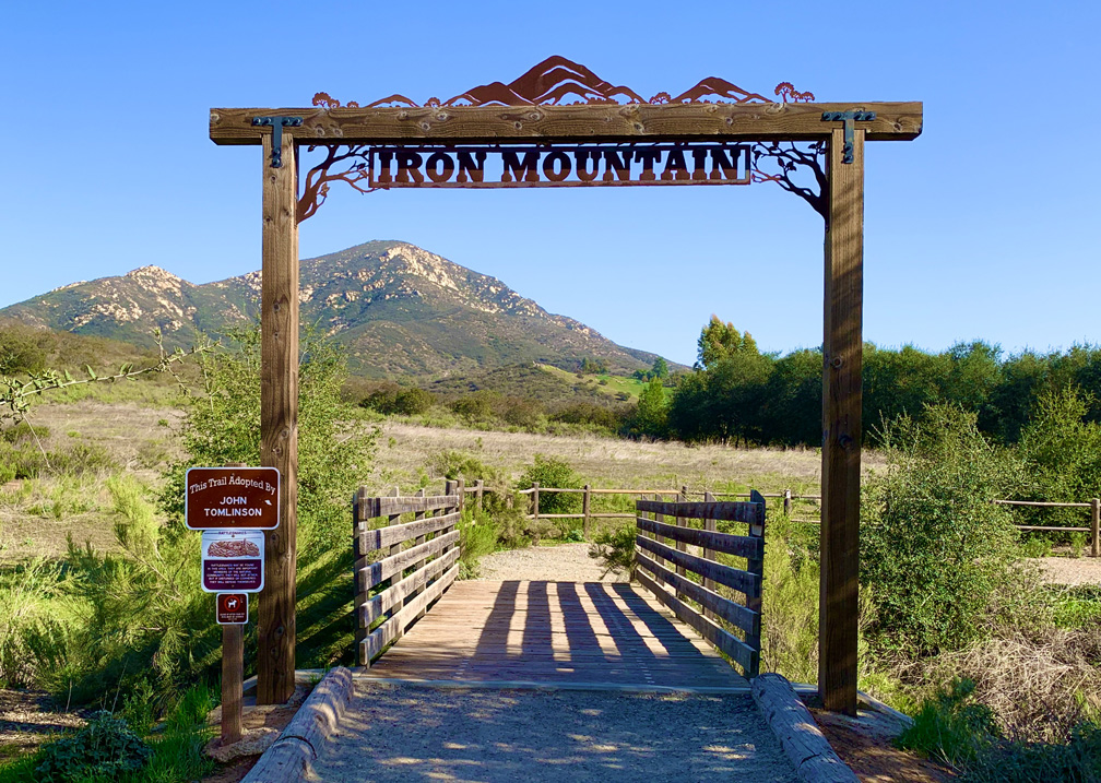
The climb up Iron Mountain near San Diego is a good climb. We didn’t take the direct route though; instead we took a longer hike up the Ellie Lane Trail. It was work, but it was worth it.
We started the 7.4 mile hike early because we knew we were going to get hot. After leaving a tree lined trail on both sides at the beginning, we were quickly exposed to the sun, and we would mostly be until we came back to this point on the trail.
After about .4 miles, the trail comes to an intersection, and we went left. We hiked along it to a pond where there were some eucalyptus trees. The trail took us around the pond, and then we headed east on the Ellie Lane Trail when the climbing started after about a mile.
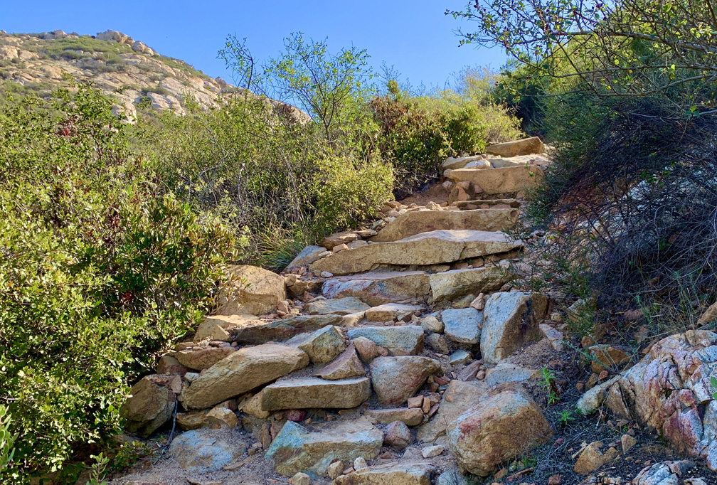
For 1.1 miles you will climb on a 12.7 percent grade through chaparral, and the trail got a little rough in places where I had to stop and catch my breath a couple of times. This part of the trail was almost empty of people as it’s not as popular, which made it peacefully quiet when we were there.
Once we made it to the top, we descended .6 miles before we started to climb again through chaparral as we headed for Iron Mountain. There were also a few points were I was glad I had my trekking poles with me as it got a little steep in places, and I used them to steady my climb down.
We hiked for .3 miles before we came to a junction. If we went straight on, we would have headed back for the trailhead, but we took the turn and started our climb to the top of Iron Mountain.
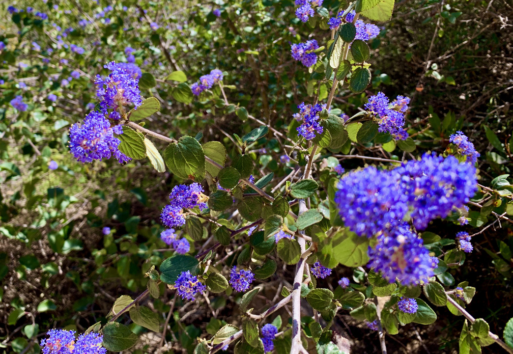
The 1.4 mile climb was moderate, but there were areas where it got rocky and you had to watch were you put your feet so you didn’t trip. The hike up on this trail was covered mostly with chaparral on both sides.
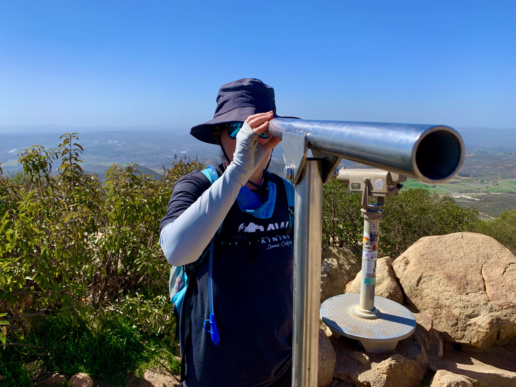
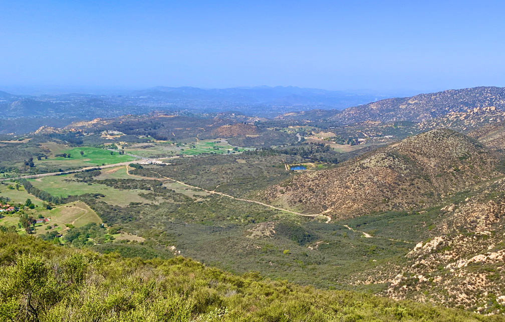
When we got to the top, it was disappointing. I was told you could see out to the ocean from there, but what we saw was heavy smog in all directions… and we were there in February. We sat at the top, had some snacks and headed back down. It’s probably clear up there after a good rain or if the winds are blowing.
The hike back down was nice, and we made it back to the parking lot.
Just a note: In the parking lot especially, you might want to watch your step and keep your eye out for dog poop, as there seemed to be several irresponsible owners who did not clean up after their pets.
Directions: From Poway, head east on Putney Road toward Melissa Lane. Turn right onto Ipava Drive, and then turn right onto Sunrise Canyon road. Turn right onto Sunrise Ranch road, and then turn onto Poway Road for three miles. Proceed through the lighted intersection and into the parking lot. Parking is here: 32.978467, -116.973450
The Skinny
Trail: Iron Mountain via Ellie Lane Trail
Trailhead Coordinates: 32.978250, -116.972567
Trailhead Elevation: 1620 Feet
Distance: 7.4 Miles – Lollipop
Level of Difficulty: 🟡
Average Grade: 4.1%
Steepest Grade: 17.8 Over .2 Miles
Ascension: 1749 Feet
Trail Condition: 🟢🟢🟢🟢
Scenery: 🟢🟢🟢🟢
Nearest Town: Poway
Challenges: Steep Climbs, Steep Ascents
Traffic: 🥾🥾
Highlights: Hiking in the Open
Best Time: Spring, Fall
Hazards: Temperatures over 90 degrees
Wildlife Concerns: Mountain Lions, Rattlesnakes
Cell Service: 📱📱 (AT&T)
Would I Do This Hike Again?: Probably
Parking: Free
Restrooms: Toilets in the parking lot