I’ve heard for years about The Maze at Joshua Tree National Park, and I finally got the opportunity to hike it. Maybe it was because of the hype I heard that I was expecting more than what it offered, but even with that said, I was in no way disappointed.
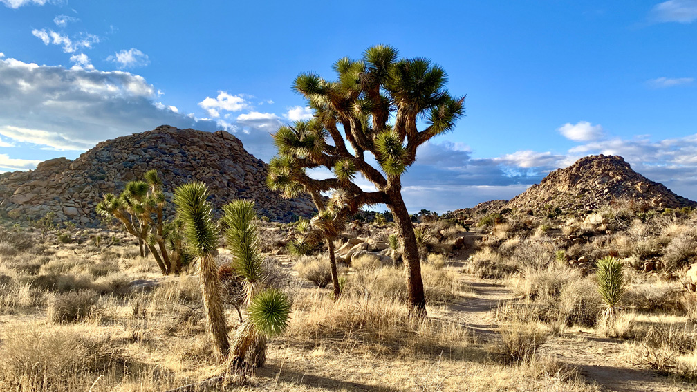
To begin with, you need to like the desert to enjoy this hike. We hiked this trail in January, and it was warm in the day when we were there. The desert growth was incredible. Of course there were Joshua Trees, but we also saw Beaver Tail Cactus, Mojave Yucca, Creosote Bush and a a lot of plant life we couldn’t identify. We thought it was incredible.
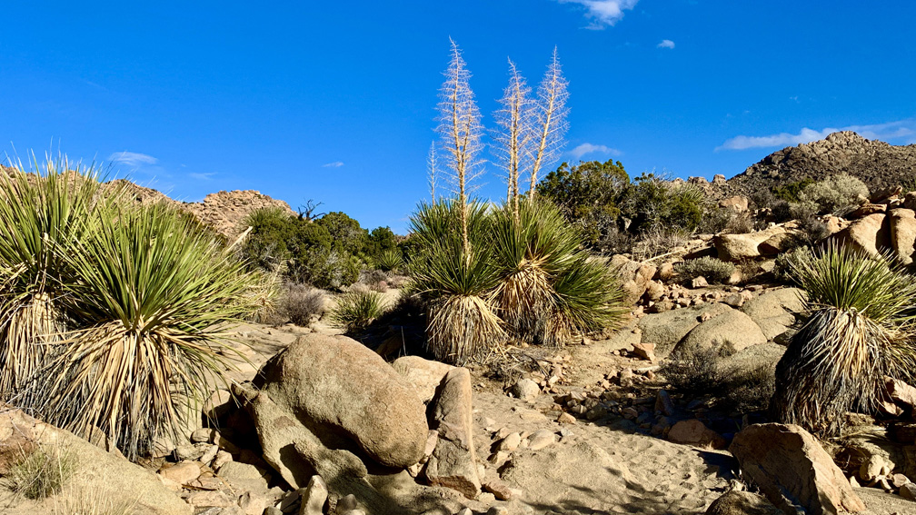
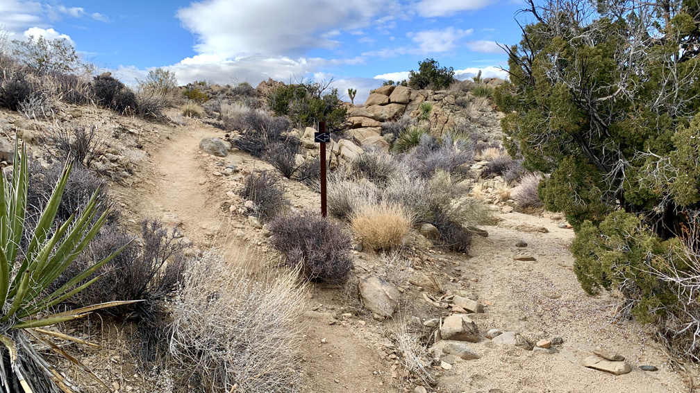
The trail itself is mostly dirt/sand, but the sand was a course and hard, so it was not difficult to hike in.
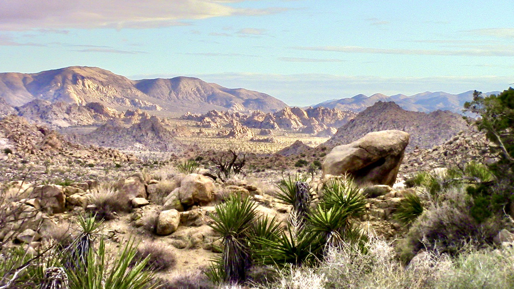
We hiked through a wash close to desert-tan granite rocks, but once you get about 2.5 miles down the trail, a breathtaking view of the mountains in the distance to the south appears. The stunning view is subjective, as it depends on the lighting at the time you are there. It was partly cloudy with sun shining though at the time, and we were fortunate to be there when that happened.
There was really no heavy breathing on this hike, and the desert terrain was very pleasant.
There are places on this trail where it could be easy to get off it and not know it until you figure something is not right, and you may become lost. Pay attention to where the park service has laid rocks across where it looks like there may be another trail. This is an indicator that it is not a trail, and you need to stay on the trail you are on. Also, see my post, Getting Lost: The Holy Sh*t of Hiking.
Directions: From Twentynine Palms, head west on California Highway 62 for 14.9 miles to Park Boulevard, turn left and continue for 1 mile. The road changes names to Quail Springs Road, and continue on it for 4.1 miles where it changes its names back to Park Boulevard. Follow Park Boulevard for 1.8 miles and the small parking area is on the left. Parking is here: 34.080949, -116.242298
The Skinny
Trail: The Maze
Trailhead Coordinates: 34.081080, -116.242209
Trailhead Elevation: 3961 Feet
Distance: 4.9 Miles – Loop
Level of Difficulty: 🟢
Average Grade: 2.4%
Steepest Grade: 8.1% Over .2 Miles
Ascension: 422 Feet
Trail Condition: 🟢🟢🟢🟢
Scenery: 🟢🟢🟢
Nearest Town: Twentynine Palms
Traffic: 🥾
Highlights: The Desert Landscapes
Best Time: Fall, Winter, Spring
Hazards: Cacti – Avoid Touching Them!, Heat
Wildlife Concerns: Rattlesnakes
Cell Service: 📵 (AT&T)
Would I Do This Hike Again?: Yes
Parking: Parking At The Trailhead. $30 To Enter The Park; Good For 7 Days
Restrooms: None