If you like hiking under Redwood trees next to running water and waterfalls, then the Steep Raving Trail is the hike for you if you do it at the right time of the year. By that, it’s good to go during or after a good rain when the waterfalls will be flowing.
The trail is called Steep Ravine for a reason. You will descend 1,084 feet on a 9 percent grade slightly over 2 miles. For the most part, it’s gentle, but the beginning is steep. If the water is running, it’s worth it.
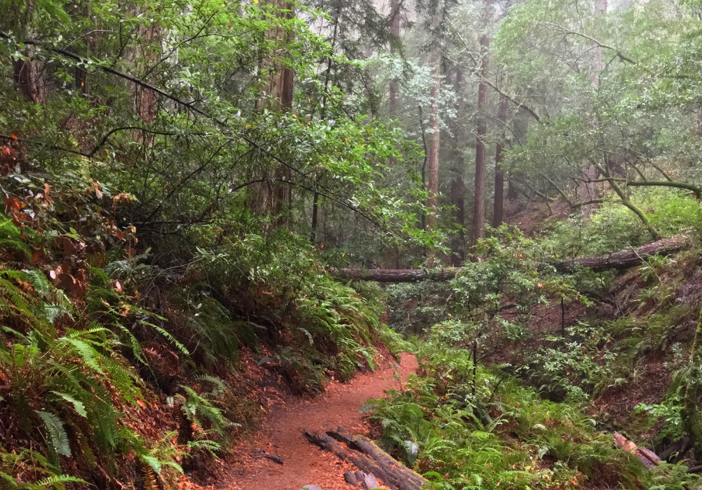
In the beginning, the trail may be muddy as you hike down into the ravine where it aligns itself with Webb Creek as it meanders along the canyon lined with lush ferns.
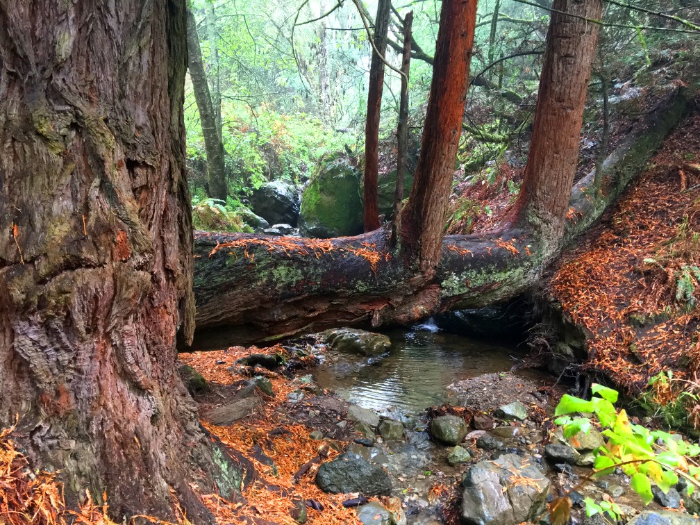
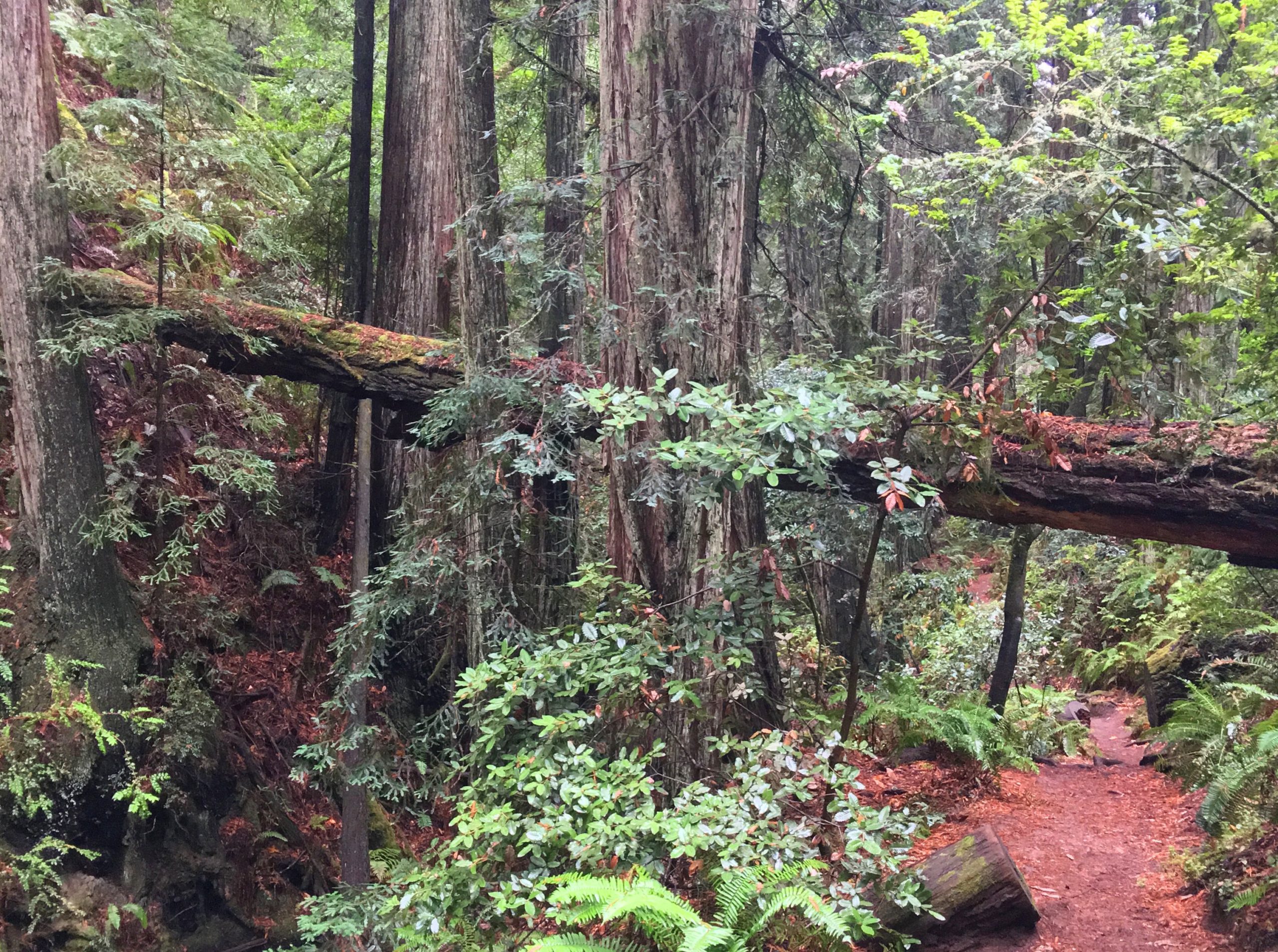
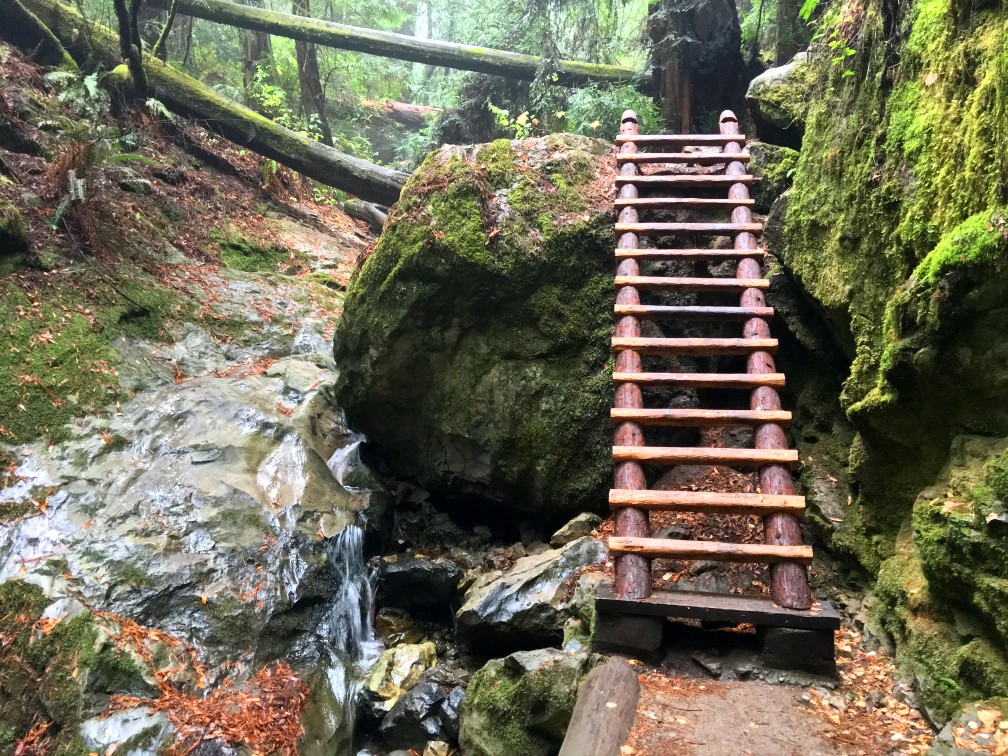
The trail crosses several wooden bridges that interweave over the creek, and you’ll have to climb down a 10-foot ladder and duck under fallen trees that cover the trail, but this helps make the hike fun.
Follow the trail 1.7 miles until you come to the junction with the Dipsea Trail, but bypass it and continue on. Follow the trail for about another half mile, and you’ll emerge on Highway 1. This is where you turn around and head back to the Dipsea Trial junction.
Shortly after you start the Dipsea Trail, your climb out of the canyon begins, and you may feel it over the next .2 miles as the grade reaches 27% on the stair you climb. It can become a heart-pounder.
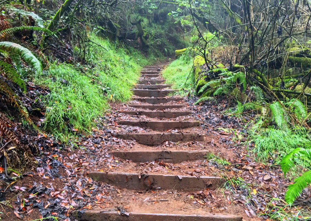
As you climb, you do it under magnificent redwoods. The day I hiked it, there was no rain, but the fog was extremely thick, and the moisture from the fog poured down from the trees like it was rain. It got to the point where I had to put on my poncho until I emerged from the trees.
The trail loops back around to the parking area. If you started early enough, stay and explore other parts of Mt. Tamalpais – you won’t be disappointed.
Directions: From Highway 101, take the Highway 1 Exit North. Turn onto the Panoramic Highway and follow it to the Pantoll Parking Area. Parking is spacious but also limited and tends to fill fast on weekends and holidays. Parking is here: 37.904005, -122.604118
The Skinny:
Trail: Steep Ravine to Dipsea Trail Loop
Trailhead Coordinates: 37.903333, -122.604117
Trailhead Elevation: 1465 Feet
Distance: 4.8 Miles – Loop
Level of Difficulty: 🟡
Average Grade: 7.7%
Steepest Grade: 27.2% over .2 miles
Ascension: 1197 Feet
Trail Condition: 🟢🟢🟢🟢
Scenery: 🟢🟢🟢
Nearest Town: Mill Valley
Challenges: The Ascent
Traffic: 🥾🥾 to 🥾🥾🥾
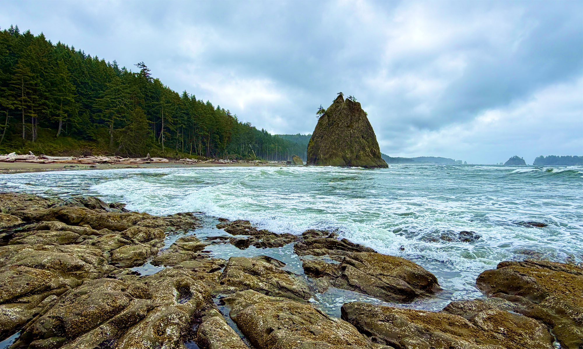
Highlights: Redwood Trees, Waterfalls, Running Water
Best Time: All Year
Hazards: Slippery mud
Wildlife Concerns: Mountain Lions
Would I Do This Hike Again?: Yes
Parking: $10 at the time of this writing
Restrooms: Near the parking lot