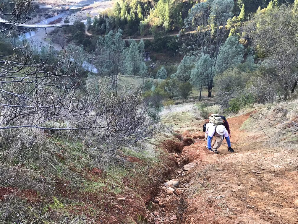
Kickass Hill in the Auburn State Recreation Area lives up to its name as soon as you start climbing. The hike is a complete workout and can give you a sense of accomplishment on a 31 percent grade over a heart pounding half mile.
The climb is too steep for trekking poles, and I had to wear gloves in that I was climbing with my hands as well. This is also a trail I would not recommend attempting to go down. At at 31 percent grade, it’s really steep, and you will more than likely fall to the bottom.
One of the hikers I was with cussed all the way to the top, but then she went back on her own and climbed it at least two more times that I know of. When I climbed the hill, I had to stop and rest once and take a couple electrolyte salt tablets for cramping in my legs.
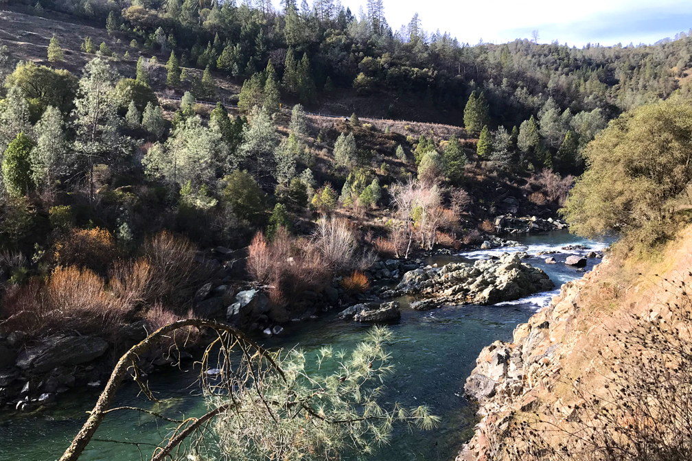
Once you get to the top, you can look back down from where you came and out over the American River confluence before continuing on.
After you make it to the top, you can continue on hiking through the foothills over one of the many trails in the Auburn State Recreation Area. We did a loop that took us through the foothills, crossed Forest Hill Road, dropped us down to an overlook of the Middle Fork of the American River and back around to the parking area.
This is not a hike to be taken in the blistering summer or after a rain. After a rain, the climb will be too slick and you’ll almost surely slide down to the bottom with an unpleasant landing that could end you up in the hospital.
There isn’t a trail up Kickass Hill on any map I’ve seen, and I only found out about it by word of mouth. I’m not sure who really cut the trail – it may have been a fire break at one time.
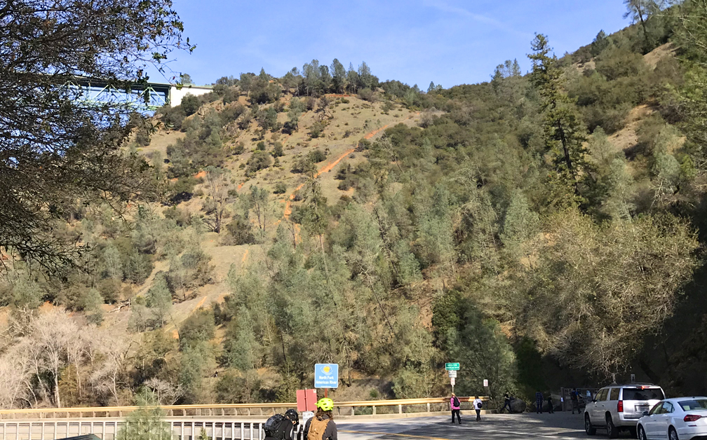
Directions: From Auburn take Lincoln Way to Highway 193 East 2.4 miles and continue straight onto Old Forest Hill Road for .4 miles. Parking is here: 38.915730, -121.035740
The Skinny
Trail: Kickass Hill
Trailhead Coordinates: 38.916250, -121.035560
Trailhead Elevation: 583 Feet
Distance: 5.3 Miles – Loop
Level of Difficulty: ⚫️
Average Grade: 17.6%
Steepest Grade: 31% for .5 Miles
Ascension: 767 feet
Trail Condition: 🟢🟢🟢🟢
Scenery: 🟢🟢🟢
Nearest Town: Auburn
Challenges: Steep Climb
Traffic: 🥾
Highlights: The American River
Best Time: Fall, Winter, Spring
Hazards: Exposure, Falling down steep hills
Wildlife Concerns: Mountain Lions, Rattle Snakes
Cell Service: 📱 (AT&T)
Would I Do This Hike Again?: No
Parking: $10 at the time of this writing
Restrooms: Yes, in the parking area