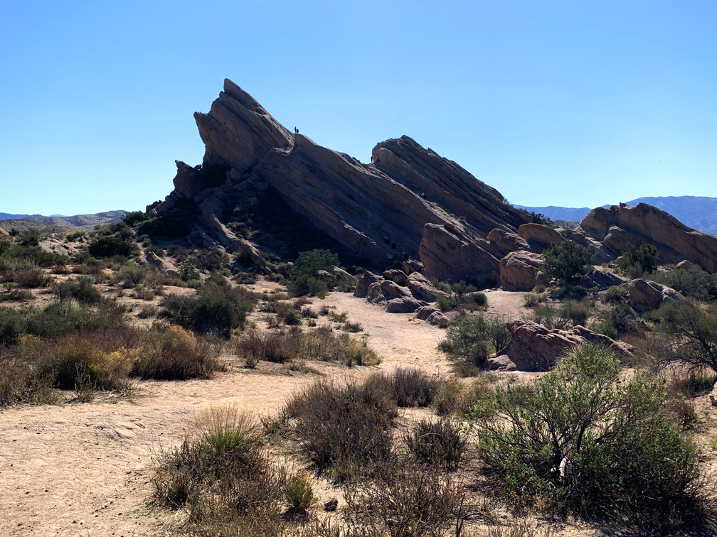
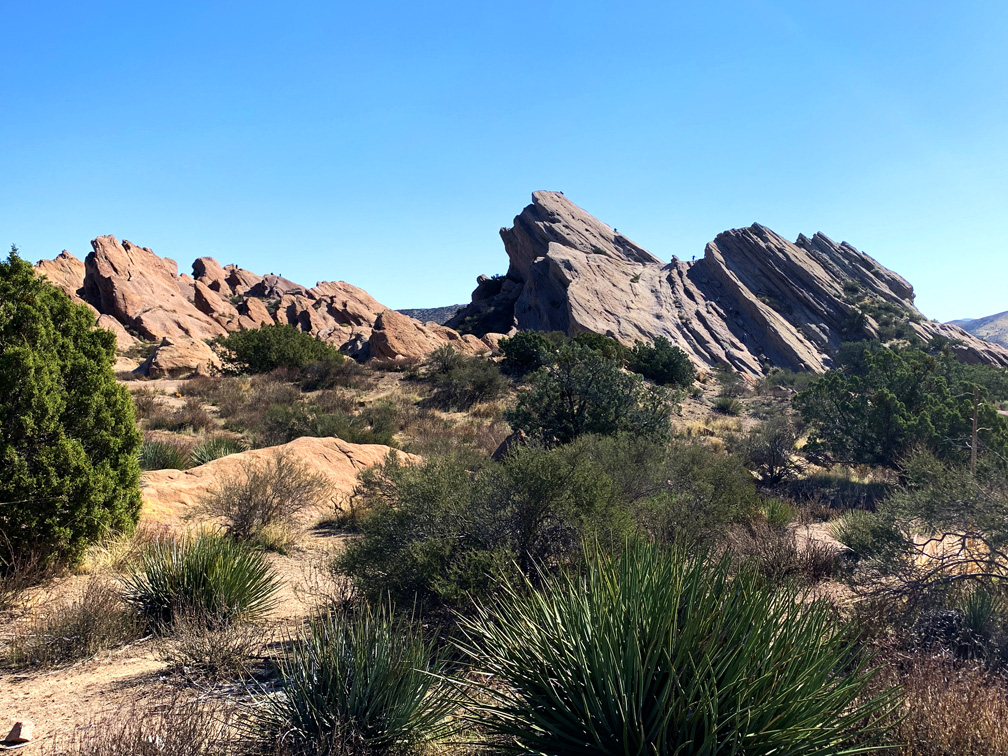
See and stand where Captains Kirk and Picard once stood. If you’re a Star Trek fan, you’ll recognize the Vasquez Rocks Natural Area Park where several episodes and movies from the franchise have been filmed over the decades. But it’s also a really neat hiking place.
There are the main trails, but there are also countless footpaths all over the park, and you may even hike on a very short portion of the Pacific Crest Trail that runs through the Vasquez Rocks.
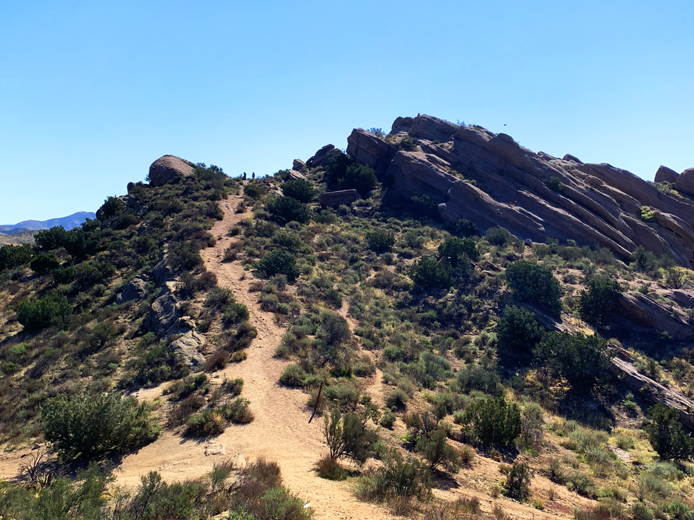
After taking in the slanted rock formations from where you park, start hiking. The rocky desert terrain and hills are mostly covered with chaparral. There is no real trailhead depending on where you park. You just park, find a trail and start hiking. I recommend a map or GPS so you at least know where you are if you get away from the crowds and become confused about your location.
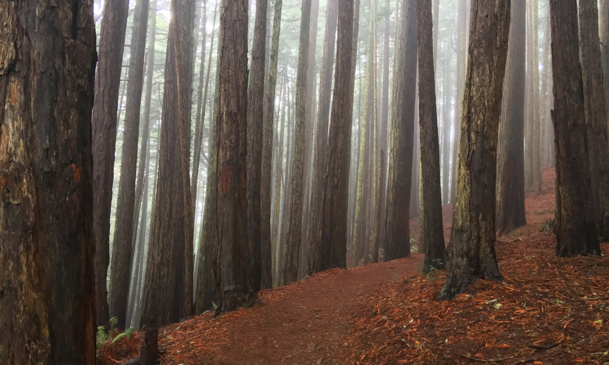
The 2.9 mile loop we hiked had its ups and downs, and a little bit of heavy breathing in spots, but it wasn’t bad. With the exception of one small area, there were no trees, and you will be hiking exposed to the sun, which is nice when the weather is not too hot. This short hike is fun, but take water.
Directions: From Santa Clarita, take Highway 14 Northeast for 12.5 miles to Exit 15 for Agua Dulce Canyon Road for .2 miles. Turn left onto Agua Dulce Canyon Road for 1.9 miles. Continue straight onto Escondido Canyon Road for .4 miles and turn right into the Park. We parked here: 34.485325, -118.313553
The Skinny
Trail: Vasquez Rocks Natural Park Area
Trailhead Coordinates: 34.487384, -118.316369
Trailhead Elevation: 2502 Feet
Distance: 2.9 Miles – Loop
Level of Difficulty: 🟡
Average Grade: 1.2% Grade
Steepest Grade: 14% Over .1 Miles
Ascension: 476 Feet
Trail Condition: 🟢🟢🟢
Scenery: 🟢🟢🟢
Nearest Town: Santa Clarita
Challenges: Exposure
Traffic: 🥾🥾🥾
Highlights: Scenery
Best Time: Fall, Winter, Spring
Hazards: Hiking along steep hills
Wildlife Concerns: Mountain Lions, Rattlesnakes
Cell Service: 📱 (AT&T)
Would I Do This Hike Again?: Yes
Parking: Free. There was a sign that said the park closes at 5 p.m.
Restrooms: Vault Toilets In The Parking Area