Hiking to Donner Peak is easy to moderate, and Donner Peak is the high-point of this hike – no question about it. Donner Peak overlooks Donner Lake, and once you make it there, you can take in the views and then head back the way you came. While there’s more, I won’t lie; I’d head back the way I came if I were to do this hike again.
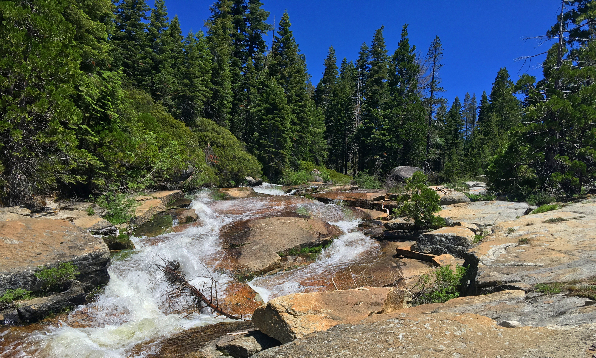
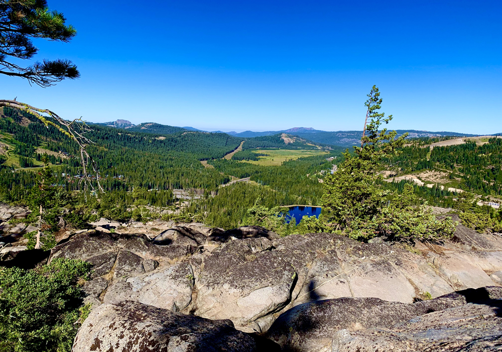
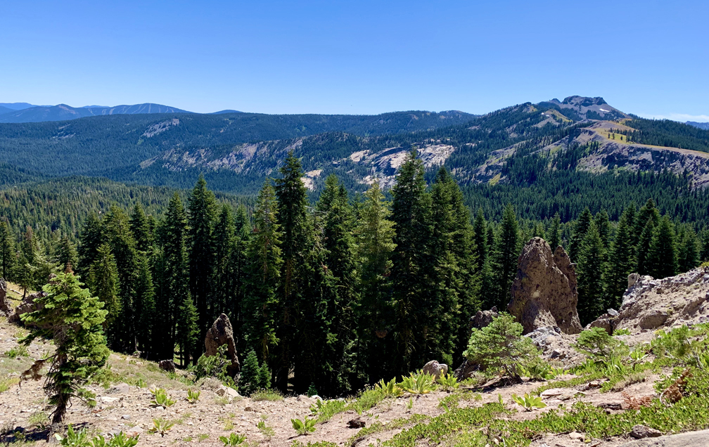
The trail is mostly a loop, but where it starts and ends is rocky, and sometimes an uncomfortable hike. Once you clear this portion of the hike, it gets much easier. As you head up, you start to hike under the forested canopy. At 1.1 miles, you’ll come to a fork. Go left and ascend toward the trees. In another .3 miles, you’ll come to an offshoot trail to the left. Take it, and you’ll be amazed at the sweeping view to the west that overlooks Lake Mary.
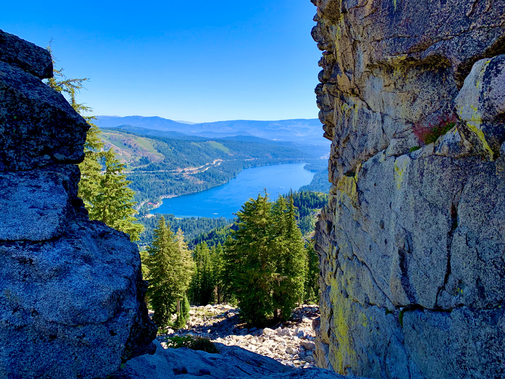
Once you’ve taken in the view, head back to the trail and continue on up to Donner Peak for a little more than half a mile. Once you get in front of Donner Peak, there’s no exact trail. Just find the best way up – it’s not that difficult. The view is rewarding, as it looks out over Donner Lake.
After you’ve marveled at the view, you can either head back to the trailhead, or you can continue on to Mount Judah. The hike to Mount Judah takes a little more effort than the hike to Donner Peak, but it’s not bad. There is much more exposure on this trail than there was the way to Mount Judah. We stopped for lunch there, but there was not much shade, and it was really windy.
After you come down from the top of the mountain, you’ll come to the Pacific Crest Trail junction. You can turn right and head back to the trailhead, or you can take a side trip to Roller Pass where the pioneers had to have their covered wagons pulled up the side of the mountain nearly vertically by oxen.
Once you take in the history, turn back and follow the Pacific Crest Trail to the trailhead.
When I do this hike again, it will be to Donner Peak, and I’ll forgo the hike to Mount Judah.
Directions: From Auburn, take Interstate 80 East to exit 174 toward Soda Springs/Norden. Follow Donner Pass Road 3.9 miles and turn right and follow it to the trailhead. Parking is here: 39.314500, -120.328209
The Skinny
Trail: Mt. Judah/Donner Peak
Trailhead Coordinates: 39.314730, -120.327220
Trailhead Elevation: 7080 Feet
Distance: 6.1 Miles – Lolipop
Level of Difficulty: 🟡
Average Grade: 7.3%
Steepest Grade: 16.9% over .1 mile
Ascension: 1549 Feet
Trail Condition: 🟢🟢🟢
Scenery: 🟢🟢🟢
Nearest Town: Truckee
Traffic: 🥾🥾
Highlights: Views of Donner Lake from Donner Peak
Best Time: Summer, Fall
Hazards: Exposure
Wildlife Concerns: Bears, Mountain Lions
Cell Service: Good but not constant (AT&T)
Would I do this hike again? Yes
Restrooms: Vault at the Trailhead – (unkempt – it might be better to find a secluded tree)
Parking: Free