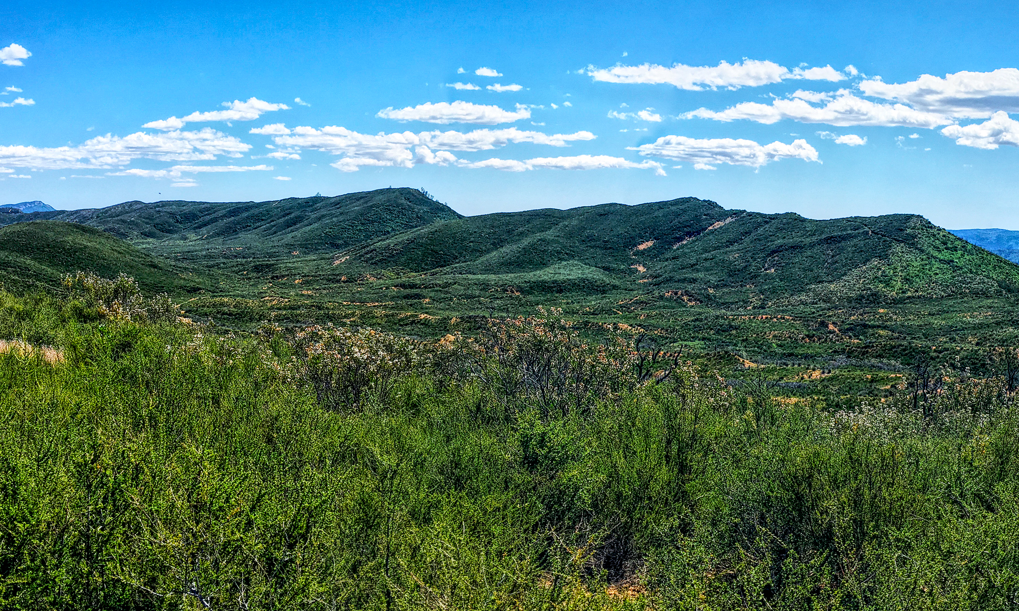
Virginia Lakes in the Eastern Sierra’s is a feast for the eyes but a workout on the lungs. The peak on this trail reaches approximately 11,120 feet give or take, with a starting elevation of 9,846 feet.
I started feeling the altitude almost as soon as I began hiking. At the trailhead, you start a small ascent, but it is not bad. If the hike were at a lower elevation, it would not be difficult.
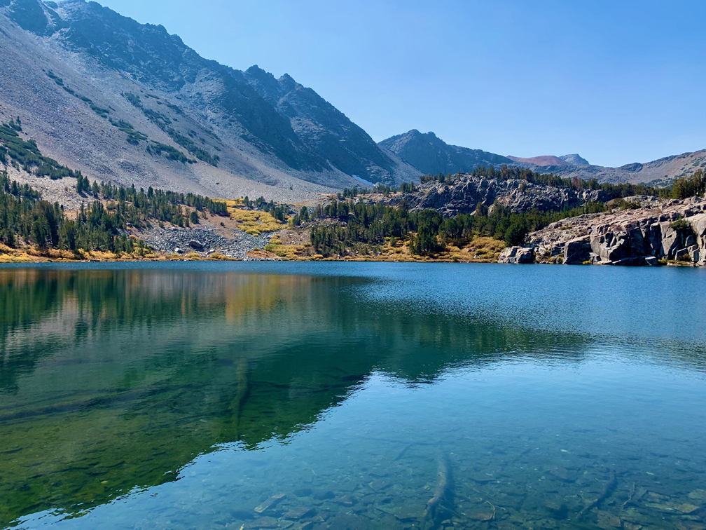
The trailhead starts near Big Virginia Lake, and as you begin on the trail, you can look down on it from points. Or you can walk down to the edge before head on out on the trail.
Blue Lake is next up on the trail, and you may take an offshoot down to the shore to stop and take it in. Admire it for a while and then continue on to Cooney Lake. You will start to climb as you hike to Cooney Lake, and as you get closer to it, you many start to feel the effects of the altitude. Stop and take breaks to rest, catch your breath and let your heart beat slow down. Beware of the symptoms of altitude sickness.
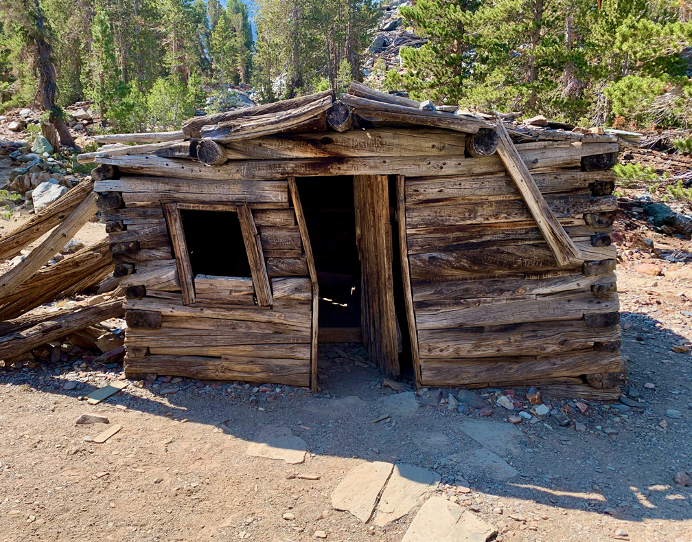
On the trail between Blue Lake and Cooney Lake is a cabin a miner built that is in state of decay. We saw a wooden bed frame in the cabin and a couple of tables with old rusted cans on them. Check out what’s left of the history there and then move on to Cooney Lake.
Cooney Lake is beautiful. Stop, sit and take some time to take it in. It’s worth it.
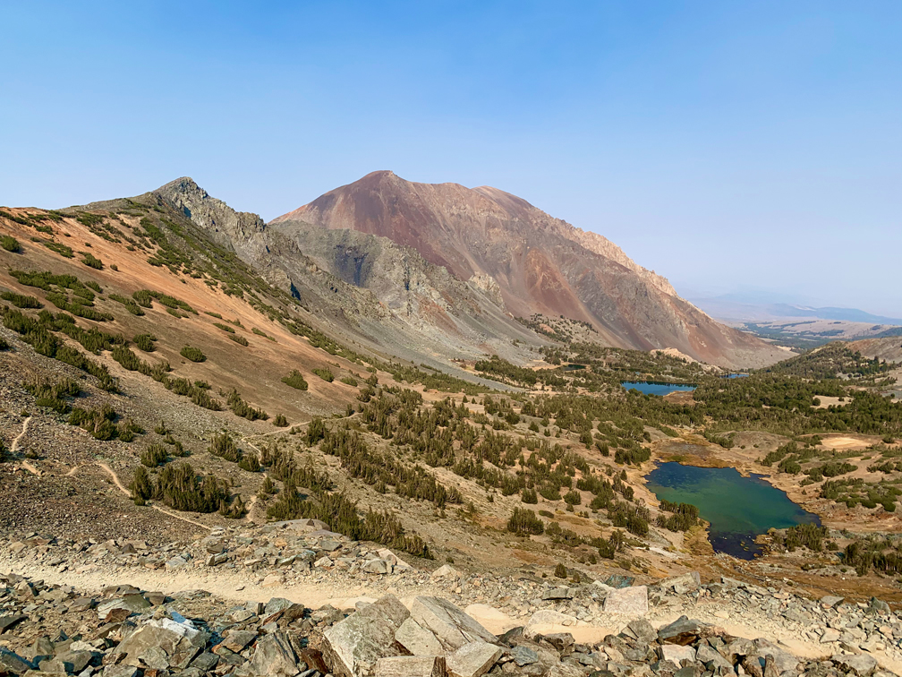
Moving on, you will come to the Frog Lakes, and you may have to cross some water running over the trail. When I was there in the Fall, it was easily crossable, but in the summer after the snow runoffs, they may be challenging to cross.
Once you pass the Frog Lakes, the climb begins. The trail is really maintained, and not difficult to follow. There are some points where you do have to hike on rocks, but it doesn’t last very long, and you’re back on dirt. There are several switchbacks as you near the top. When you arrive, turn around and look behind you to see from where you came and what you accomplished. You can hike on, or you can turn back. We turned back at this point, and we enjoyed the views as we descended.
Directions: From Lee Vining, take Highway 395 North 12.1 miles and turn left onto Virginia Lakes Road. Follow Virginia Lakes Road to the end to the parking area. Parking is here: 38.048150, -119.262664
The Skinny
Trail: Virginia Lakes Trail
Trailhead Coordinates: 38.048220, -119.263380
Trailhead Elevation: 9846 Feet
Distance: 5.9 Miles – Out And Back
Level of Difficulty: 🟠
Average Grade: 8.1%
Steepest Grade: 21.9% over 350 Feet
Ascension: 1397 Feet
Trail Condition: 🟢🟢🟢🟢
Scenery: 🟢🟢🟢🟢
Nearest Town: Lee Vining
Challenges: Ascending at altitude
Traffic: 🥾
Highlights: Views
Best Time: Fall, while it’s still warm
Hazards: Altitude Sickness, Exposure
Wildlife Concerns: Bears, Mountain Lions
Cell Service: 📱 (AT&T)
Would I Do This Hike Again?: Maybe
Parking: Free
Restrooms: At the trailhead, but they may be locked