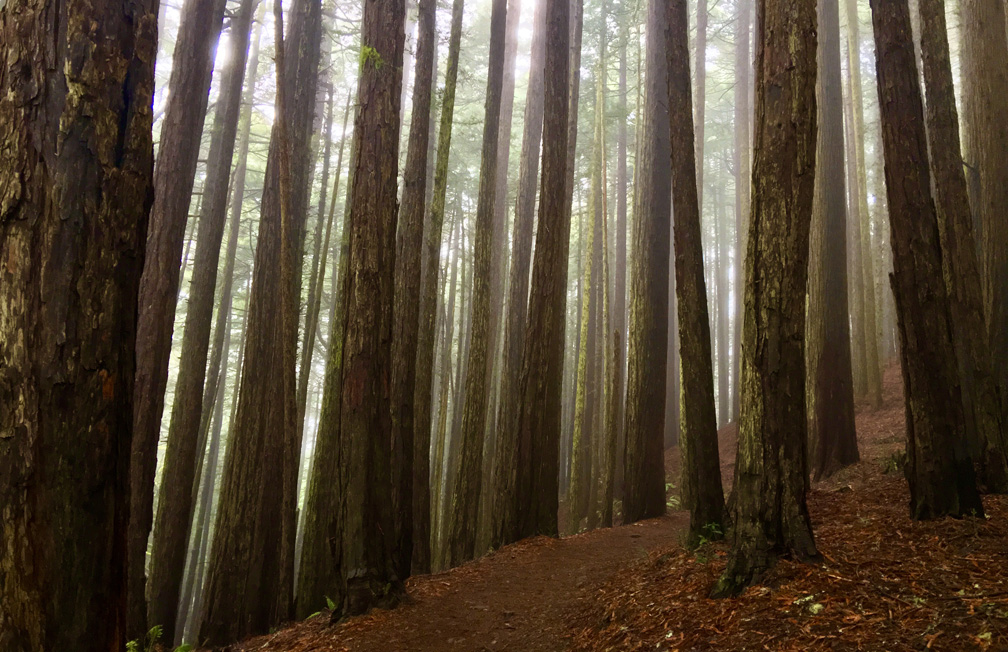
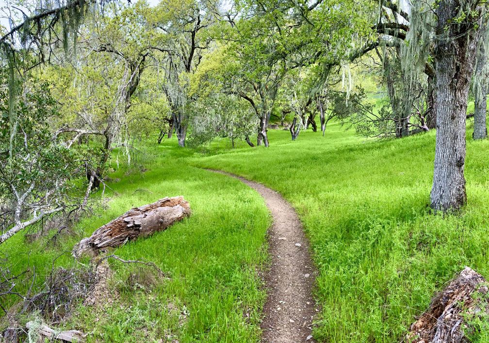
Hiking the Arnold Rim Trail to the “Top of the World”

The Sierra Nevada Mountain Range can be seen from the "Top of the World" on the Arnold Rim trail with snow caps in the distance.
The Sierra Nevada Mountain Range can be seen from the “Top of the World” on the Arnold Rim trail with snow caps in the distance.

The Arnold Rim Trail is a hike through a part of the Stanislaus National Forest that leads to a fantastic point dubbed the “The Top of the World” where the view is incredible. From the Sierras, you can see over to the Coastal Range and Mount Diablo nearly 90 miles away on a clear day.

Continue reading “Hiking the Arnold Rim Trail to the “Top of the World””

Hiking Upper Ritchey Canyon at Bothe-Napa Valley State Park

The forest at Bothe-Napa Valley State Park on the Upper Ritchey Canyon Trail are recovering from a fire that occurred in 2020.

The hike to Upper Ritchey Canyon at Bothe-Napa Valley State Park is challenging, but along the way you can see a forest that is in recovery from a fire that burned through parts of it in 2020.

Continue reading “Hiking Upper Ritchey Canyon at Bothe-Napa Valley State Park”

Hiking Dipsea Trail To Muir Woods National Monument

The Dipsea Trail at Mount Tamalpais State Park hikes you though the serenity of the tall trees.

This hike takes you under lush canopy at Mount Tamalpais State Park, up steep stairs, gives you a fantastic view overlooking the Pacific Ocean, and then you hike among the Redwoods at Muir Woods National Monument. But it’s also difficult for me to get excited about this hike.

Continue reading “Hiking Dipsea Trail To Muir Woods National Monument”

Hiking Old Man’s Beard and Sam the Eagle at Moore Creek Park

A trail is cut through an oak forest foothill during the springtime when the grasses are green and lush.
Old Man’s Beard at Moore Creek Park can be green and beautiful in the springtime.

Like the other hikes we’ve done at Lake Hennessey, Old Man’s Beard and Sam the Eagle trails at Moore Creek Park are pleasant when hiked in the springtime with green hills, wildflowers as the foliage is coming back to the trees.

Continue reading “Hiking Old Man’s Beard and Sam the Eagle at Moore Creek Park”

Hiking Grand Canyon Of The Yellowstone To Ribbon Lake

Lower Yellowstone Falls from Artist Point.
The view from Artist Point at Yellowstone National Park of Lower Yellowstone Falls and the Grand Canyon of the Yellowstone can be spectacular.

The Grand Canyon of the Yellowstone is an incredible sight to see and hike along in Yellowstone National Park. From different vantage points, you can marvel at Lower Yellowstone Falls. The forest along the hike was tranquil and mediative, and once we left the crowds, we probably saw a little more than a dozen people.

Continue reading “Hiking Grand Canyon Of The Yellowstone To Ribbon Lake”

Hiking Lost Palms Trail at Joshua Tree National Park

Hiking to the Lost Palms Oasis at Joshua Tree National Park is like hiking through a garden in the desert.

Hiking to Lost Palms at Joshua Tree National Park is like hiking through a desert garden. If you’re up for hiking through the desert, there really is a lot to see as far as plant life goes on this hike, along with great landscape vistas.

On this hike, you will more than likely come across cholla cacti, indigo bush, jojoba, California juniper, creosote bush, mistletoe, Mojave yucca, Mormon tea, barrel cacti, granite rock, palm trees, but no Joshua trees in this part of the park.

Continue reading “Hiking Lost Palms Trail at Joshua Tree National Park”

Hiking Skull Rock Nature Trail and Split Rock Trail at Joshua Tree National Park

The desert landscape at Joshua Tree National Park is striking, but pictures do not do it justice. It needs to be experienced to be truly appreciated.

This is the hike that made Joshua Tree National Park my favorite park. The Skull Rock Nature Trail/Split Rock Trail for me were over the top with scenery and ease. The video below and pictures do not do it justice. This hike needs to be experienced.

Continue reading “Hiking Skull Rock Nature Trail and Split Rock Trail at Joshua Tree National Park”

Hiking Mirror Lake in Yosemite National Park

Mirror Lake at Yosemite National Park.
The scenery at Mirror Lake at Yosemite National Park can be stunning.

Mirror Lake in Yosemite National Park is a beautiful hike that is pretty easy and hikes through forests and next to big granite rocks. Upper and Lower Mirror Lake live up to their name where the reflections in the water of the landscape around them can be gorgeous.

There are several places you can start the hike from, and we jumped on the Yosemite Valley Loop Trail off of Ahwahnee Drive about .34 miles short of the Ahwahnee Hotel. The Mirror Lake hike itself is about a 2.4 mile loop, but we wanted to make a longer hike out of it, so we ended up hiking 7.2 miles.

Continue reading “Hiking Mirror Lake in Yosemite National Park”

Mist Trail To Nevada Fall in Yosemite National Park

Nevada Fall in Yosemite National Park from a distance running down the granite rock with forest trees in the fore and background.
Nevada Fall in Yosemite National Park is a stunning waterfall.

The hike from Yosemite Valley up to Vernal Falls and then over to Nevada Falls is incredible, and one of many of many spectacular attractions of Yosemite National Park. But even hiking through the beauty of the forests, it does take work to make it to the top of either waterfall.

Continue reading “Mist Trail To Nevada Fall in Yosemite National Park”

Hiking Redbud Trail to Baton Flat

The Redbud Trail meanders through the oak laden hillsides of the Cache Creek Natural Area.

Originally posted June 8, 2018
Updated April 30, 2023

We hiked Redbud Trail in April 2023 after the California’s massive rainstorms earlier in the winter and spring.  What resulted were superblooms in locations. For as often as I have hiked the Redbud Trail, I have never seen the wildflowers on the trail I saw in late April. The wildflowers included Indian Paintbrush, Warrior Paintbrush, Common Fiddlestick, Western Wallflower, Diogene’s Lantern, and many other colorful wildflowers.

Hiking the Redbud Trail as it meanders along hillsides next to oak trees and descends down to Baton Flat and  Cache Creek is a pleasant hike through the foothills.

The trail starts off out of the parking lot on a service road and then to the right you’ll see a sign with Redbud Trail marked on it. Take the trail away from the road and hike along the edge of the foothills until you come to a creek bed that you have to cross. Continue reading “Hiking Redbud Trail to Baton Flat”

Hiking Moses Spring Trail to Bear Gulch Reservoir at Pinnacles National Park

A hiker enters a cave on the Moses Springs Trail to Bear Gulch Reservoir at Pinnacles National Park.

The hike to Bear Gulch Reservoir at Pinnacles National Park starts off on the High Peaks Trail as you hike under oak trees and ascend to the Moses Spring Trail junction.

As the trail ascends, you start to hike amongst rock formations that take you to the caves on the Moses Spring Trail. If you are not comfortable with caves, there is a bypass trail that will also take you to Bear Gulch Reservoir on up past the Moses Spring Trail junction that leads to the Rim Trail, but the caves are worth exploring. Continue reading “Hiking Moses Spring Trail to Bear Gulch Reservoir at Pinnacles National Park”

Hiking Meadow Trail to Mt. Wittenberg Trail at Point Reyes National Seashore

While the grasses and some of the undergrowth along the trails in the Meadow Trail/Mt. Wittenberg Trail area at Point Reyes National Seashore are green, many of the trees are burned out from a 2020 fire that swept through the area.

Meadow Trail at Point Reyes National Seashore up to Sky Trail is a tough climb, but sometimes the rewards are great if you like wildlife. Both times I hiked the trail I was treated to seeing Black Tail Deer once in a meadow and once running in the forest.

Continue reading “Hiking Meadow Trail to Mt. Wittenberg Trail at Point Reyes National Seashore”

Hiking Fern Canyon/James Irvine Trail in Northern California

The ancestry of the ferns in Fern Canyon at Prairie Redwoods State Park can be traced back 325 million years.

Fern Canyon on the Northern California Coast is a very green must do hike. The 50-foot high walls are covered with ferns that include lady fern, wood fern, five-finger fern, deer fern, leather leaf fern, and sword fern, and their lineage can be traced back 325 million years. Fern Canyon is beautiful, and as well as the James Irvin Trail.

Continue reading “Hiking Fern Canyon/James Irvine Trail in Northern California”

Hiking Creamery Meadow, Bluffs, Panorama and Ridge Trail at Andrew Molera State Park

The view from Panoramic Trail looking over the Pacific Ocean from above the marine layer.

Andrew Molera State Park at Big Sur offers beautiful views of the Pacific Ocean and the nearby mountains. While the hike to see some of the views is challenging in places, it is worth it.

Continue reading “Hiking Creamery Meadow, Bluffs, Panorama and Ridge Trail at Andrew Molera State Park”

Hiking the Historic Orchard at Jack London State Historic Park

The Historic Orchard at Jack London State Historic Park once produced apples, apricots, pears, plums, and prunes.

The hike to the Historic Orchard at Jack London State Historic Park is mild. The one-time 100 acre orchard once produced apples, apricots, pears, plums, and prunes. The orchard is a casual hike, but getting there is a hike up and down hills and through forests.

Continue reading “Hiking the Historic Orchard at Jack London State Historic Park”

Hiking Mountain Trail to Cowan Meadow Trail

The view from the high point on Mountain Trail at Jack London State Historic Park is spectacular.

Jack London State Historic Park is becoming one of my favorite places to hike. It has redwoods, oak forests, foothills, ridges and very scenic views. The hike up Mountain Trail to High Point is worth the effort and is spectacular.

The hike starts off on the Lake Trail to London Lake from the Upper Parking Lot. As you begin, you hike past a picnic area, winery ruins and the distillery and turn and hike past a vineyard. Follow Mountain Trail which is a service road next to the wooded area. We stayed on Mountain Road as we passed an intersection where another trail leads to London Lake.

Continue reading “Hiking Mountain Trail to Cowan Meadow Trail”

Hiking Sky Trail to Sculptured Beach at Point Reyes National Seashore

Sky Trail is a beautiful hike meanders along greenery and under pine trees.

Sky Trail at Point Reyes National Seashore is an awesome hike, and at the right time of the year when the wildflowers are in bloom, it’s a feast for the eyes.  For the most part, the hike is not too difficult and is actually relaxing as you hike under the pine forests next to ferns and greenery.

Continue reading “Hiking Sky Trail to Sculptured Beach at Point Reyes National Seashore”

Hiking to Feather Falls

Feather Falls in Butte County plummets more than 400 feet down into the Feather River.

How can you be a hiker in Northern California and not hike to Feather Falls? The falls are an awesome to sight to behold, and the hike isn’t so bad either – depending on when you go and the condition of the trail. At about .4 miles from the trailhead, you’ll have decision to make when you come to fork.

If you want to make a loop out of this hike, it might be best to go to the left, as the trail will head downhill. Coming back up this way could be strenuous. If you do decide to come back up this way, there are a series of benches along the trail for resting. This way is shorter taking about 3.3 miles to get to the overlook. Continue reading “Hiking to Feather Falls”

Hiking Eagle Pass to Paul Thomas Trail

Black Butte Lake from Eagle Pass is a green and alive in the springtime.

The hike from Eagle Pass to the Paul Thomas Trail can only be done in the springtime while the grasses are green before the summer sets in and the weather is still cool enough to be outside in the valley. The view from Eagle Pass you hike up to is incredible. It looks over to Black Butte, the lake itself to the west and the Coastal Mountain Range that spans the horizon running from the north the south that disappears to sight. Continue reading “Hiking Eagle Pass to Paul Thomas Trail”

Hiking Polomarin Trailhead to Wildcat Camp (Coast Trail)

The Coast Trail offers sweeping views of the Pacific Ocean.

Hiking the Coast Trail from the Polomarin trailhead to Wildcamp Camp is like hiking Highway 1. It’s extraordinary with its views of the ocean on one side and forests on the other.

Most take this trail to hike to Alamere Falls, where the trail offshoot is at nearly four miles in. At the time I took this trail, the Alamere Falls cutoff was mostly overgrown and difficult to ascertain. It seemed like it wasn’t being well-maintained. Some say there is a sign there, but I did not see one when I hiked by, but someone made an arrow marker on the ground (not permanent) marking the intersection. Part of the overgrowth was poison oak, but nonetheless that doesn’t deter people from hiking to the falls. But if you go on, there’s more to see. Continue reading “Hiking Polomarin Trailhead to Wildcat Camp (Coast Trail)”

Hiking Thunder Mountain

The views to the south of Thunder Mountain can be spectacular if the climatic conditions are right and there is at least some snow on the mountaintops in the distance.

This sometimes heavy breather of a hike to Thunder Mountain has outstanding views of mountaintops and ranges and overlooks vast swaths of trees and granite, meadows and forested hiking. At slightly over three miles in, and after some of the heaviest climbing on the trail, you come to the vista that can make you stop hiking and just gaze at the landscape. As you look to the south, you can see mountain peaks in the distance – probably in the Stanislaus National Forest – some with snow on them. If there are clouds in the over them, it’s an even more powerful view. Continue reading “Hiking Thunder Mountain”

Billy’s Hill and Glascock Mountain

The north end of Capay Valley from Glascock Mountain where some of the farms can be seen.

The hike up Billy’s Hill and then over to Glascock Mountain can be a butt kicker, but it is worth it. This land is overseen by the Bureau of Land Management, so you can hike on it. Once you climb over the green gate, you will see there is no trail up Billy’s Hill, so the best way, albeit steep, is to hike a game trail. You may have to stop and rest on the up, which took me a little more than an hour to climb the 19 percent one-mile grade. The 980 foot ascent takes you from a starting elevation of 798 feet to 1778 feet. Continue reading “Billy’s Hill and Glascock Mountain”