The hike on the Judge Davis Trail down to Cache Creek was a son of a b*tch and should not be done as an out and back day hike but rather as a point to point backpacking trek.
I’ve written about it before, and I’ll say it again, the Cache Creek Wilderness is one of the toughest foothill terrains I’ve hiked. It’ beautiful, but also rugged it’s unforgiving, and the Judge Davis Trail is no exception if you’re climbing back out on the 4.2-mile ascent.
The hike is almost all exposed except for the first 1.1 miles, which is through an oak forest on an 8.2 percent grade. Once we reached the top, out of the cover, we could see for miles.
One thing to note, starting out from the parking lot, if it has rained, you will hike through some pretty sticky mud for about a quarter of a mile.
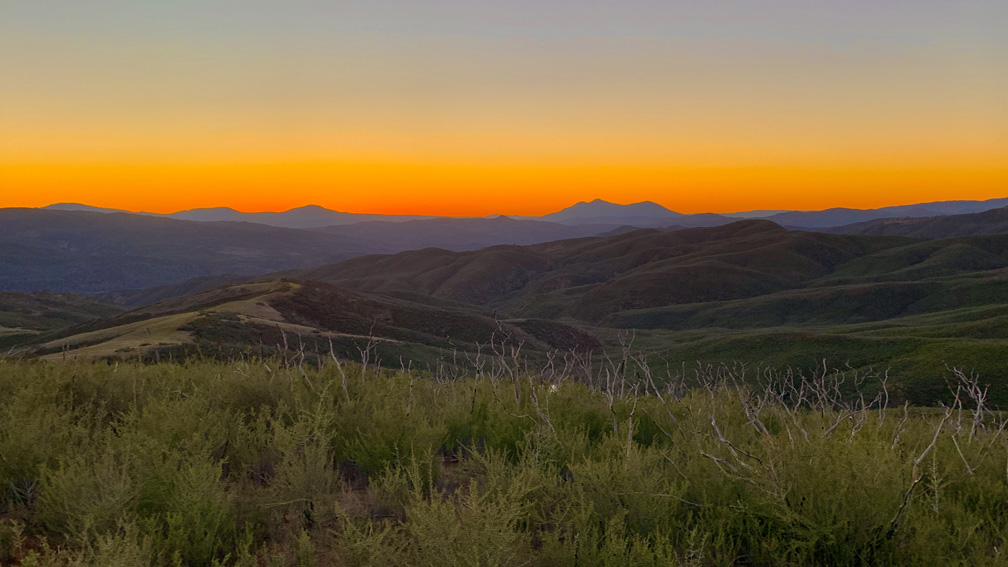
The peak of the hike is about 1.16 miles in at 2238 feet, and just as you start to descend Mt. Konocti, in the west at about 18.5 miles away, starts to come into view. The rest of the views include looking over the ridges of foothills covered by chaparral. You will hike most exposed on this trail until you start to descend closer to Wilson Valley and Cache Creek.
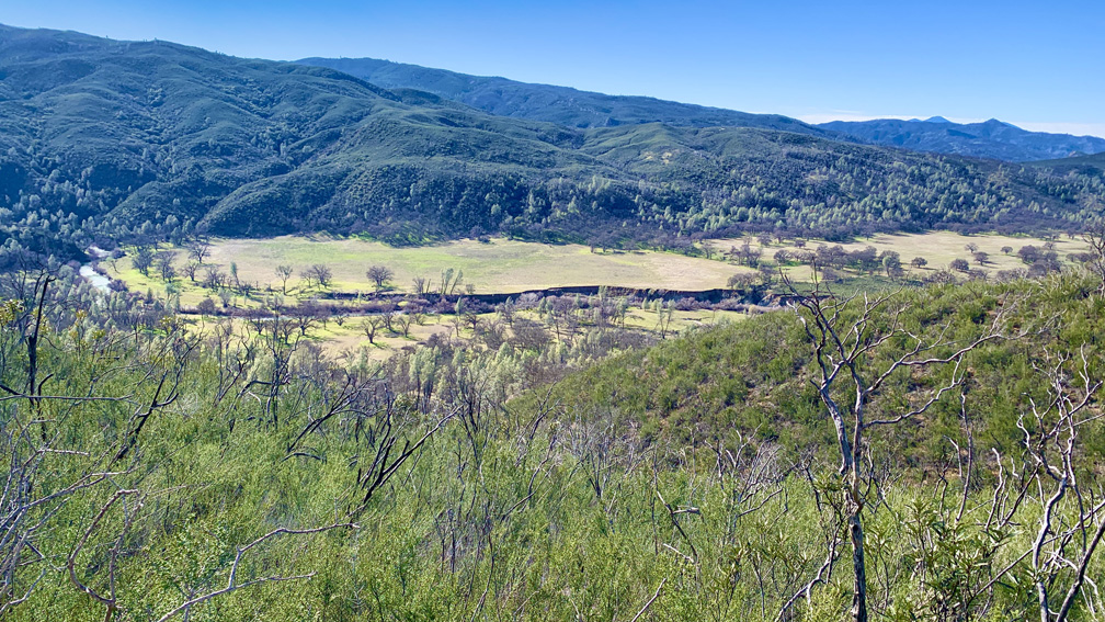
While the hike offers fantastic views of the Wilson Valley and a nice area to sit and take in Cache Creek, where we backpacked to a few years ago coming in from the Redbud Trail, the 4.2 mile climb back out is no joke.
You will hike up over sections on nearly 12, 13, and 16 percent grades. While these particular steep grades don’t last too long, the entire climb back up is 4.2 miles long. Stop and rest as necessary as it can become very tiring and bring plenty of water. However, once you’ve completed the climb out, it may give you a sense of accomplishment depending on how difficult it may have been for you.
If you do plan to come out the way you came in, it might be best to do this as an overnight backpacking trip. But it would be better to make this a point to point trek to the Redbud Trailhead. We’ve kicked that idea around, and we will probably do it in the future.
Directions: From Interstate 5 at Williams, take Highway 20 west about 22 miles to the Judge Davis Trailhead. The trailhead provides parking, maps and information for hiking and equestrian access.
The Skinny
Trail: Judge Davis Trail
Trailhead Coordinates: 39.008780, -122.415210
Trailhead Elevation: 1748 Feet
Distance: 10.9 Miles
Level Of Difficulty: 🟡
Average Grade On Overall: 5.9%
Steepest Grade: 16.6 Over .2 Miles
Ascension: 2612 Feet
Trail Condition: 🟢🟢🟢
Scenery: 🟢🟢🟢🟢
Nearest Town: Williams
Traffic: 🥾
Highlights: Views
Best Time: Fall, Winter, Spring
Wildlife Concerns: Bees Swarming, Occasional Bears, Mountain Lions, Rattle Snakes, Wild Boar
Trail Hazards: No Water Until You Get To The Creek
Cell Service: 📵 (AT&T)
Would I Do This Hike Again?: More Than Likely
Parking: Free
Restrooms: Vaulted At The Trailhead