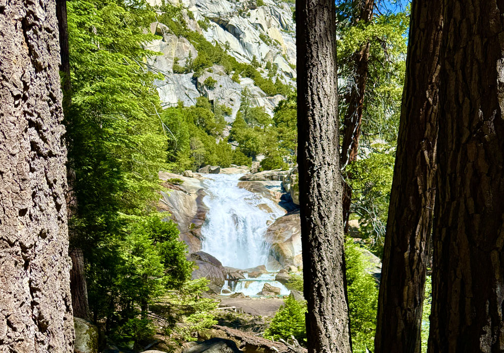
The hike to Mist Falls was the most spectacular hike we did when we were in Kings Canyon National Park. We loved it. We initially wanted to backpack the Rae Lakes Loop, but we could not get backcountry permits, so we day hiked it to the falls.
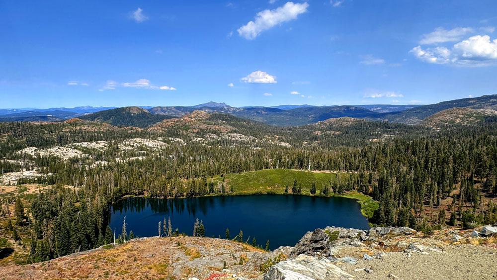
Milk Lake sits below Grouse Ridge where the hike to Crystal Lake begins. The Sierra Buttes can be seen in the far distance.
Backpacking to Glacier Lake from Grouse Ridge in the Tahoe National Forest can be both challenging and rewarding. Backpacking it is hard.
The campground area at Crystal Lake is primitive but spacious. We arrived earlier than most of the backpackers the day we arrived and were lucky enough to be able to camp away from the main camping area and be down closer to Crystal Lake. We were able to do this because we spent the night before at the Grouse Ridge Campground and then headed over to the backpacking parking area and started early before the backpackers arrived.
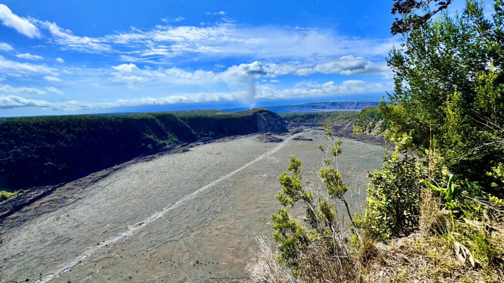
Having never hiked in an environment like this before, I was really impressed by the climate. The trail that went through the rainforest was humid and lush, and by contrast, the Kīlauea Iki crater was exposed, burned out and covered with lava rock where growth emerged through cracks in it where lava flowed in 1959.
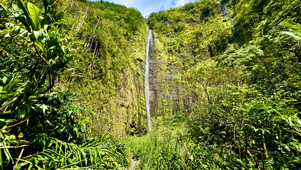
Waimoku Falls on the Pīpīwai Trail at Haleakalā National Park.
The hike to Waimoku Falls on the Pīpīwai Trail is a beautiful lush hike through bamboo forests on the island of Maui. While not a difficult hike, it does offer challenges in the way of heat and humidity. That said, I would do this hike again and again.
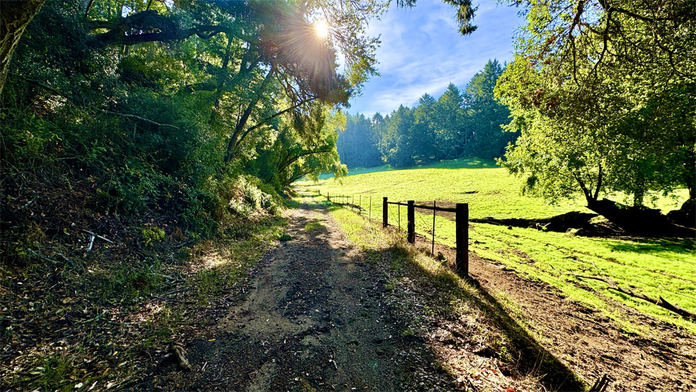
The trail was loaded with cow pies, steaming horse apples, two hives of bees that swarmed next to the trail, swarms of flies on fresh cow patties, a lavish supply of spider webs that crossed the trail in more places that could be counted but could not be seen as you walked through them. There was overgrowth that reached out to touch you. Most of it was blackberries that looked like poison oak, but then there was actual poison oak that had to be dodged. Then there was mud – both sticky mud and mud that caused your feet to slide out from under you when you stepped on it. And then there was the heavy humidity.
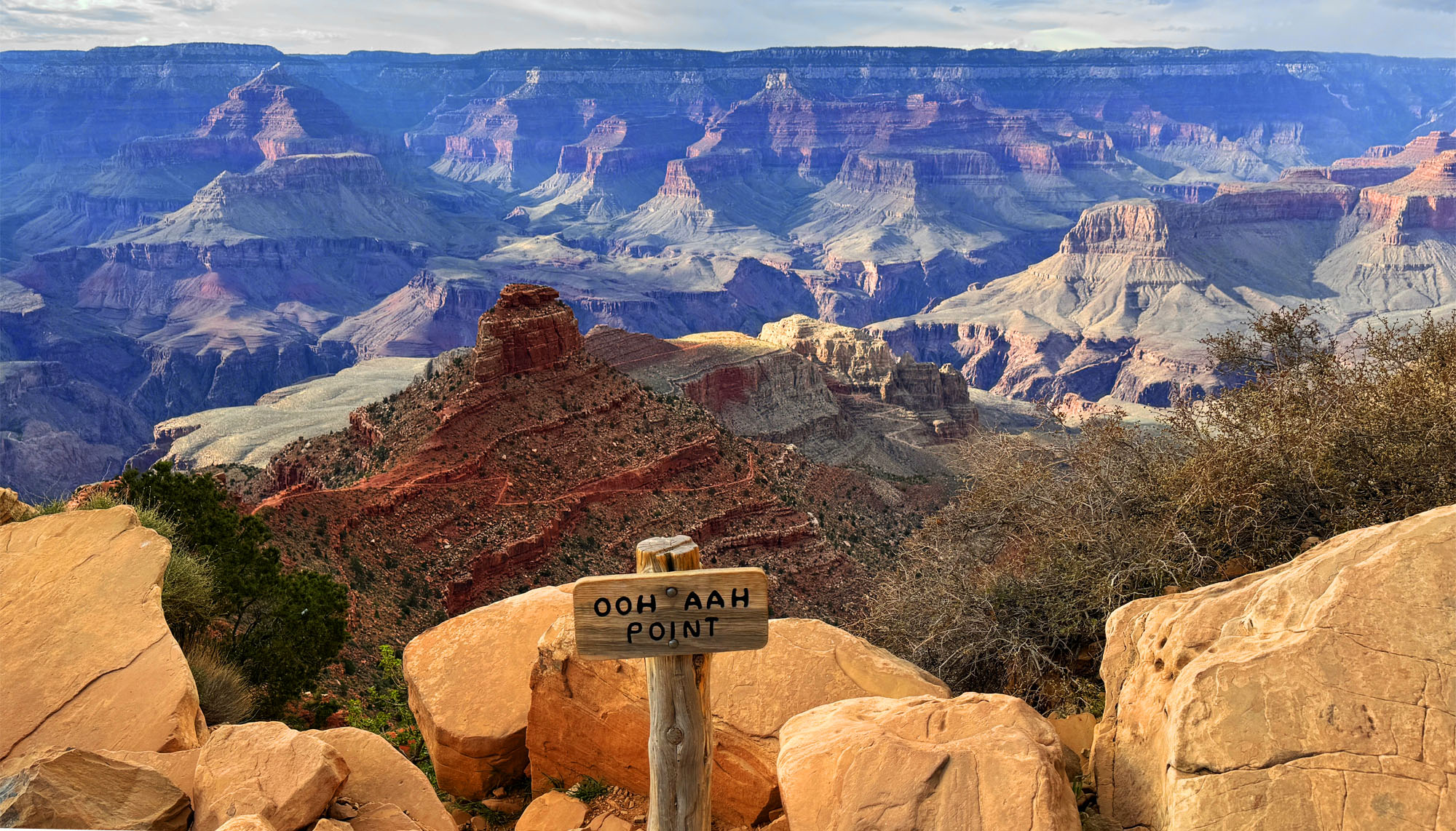
The view from Ohh Ahh Point looking out to the vast horizon of part of the Grand Canyon.
The hike to Ooh Ahh Point, a short one-mile hike, is pretty easy on the way down. The way back up is another story and on an average of 11.2 percent grade for about a mile. Once you get to Ooh Ahh Point, it’s easy to see why it’s named what it is.
Looking out at the Grand Canyon is breathtaking from here. The colors and the vastness of the canyon are awe-inspiring as you look across to the horizon and down into the canyon where you can see the trails far below you go.
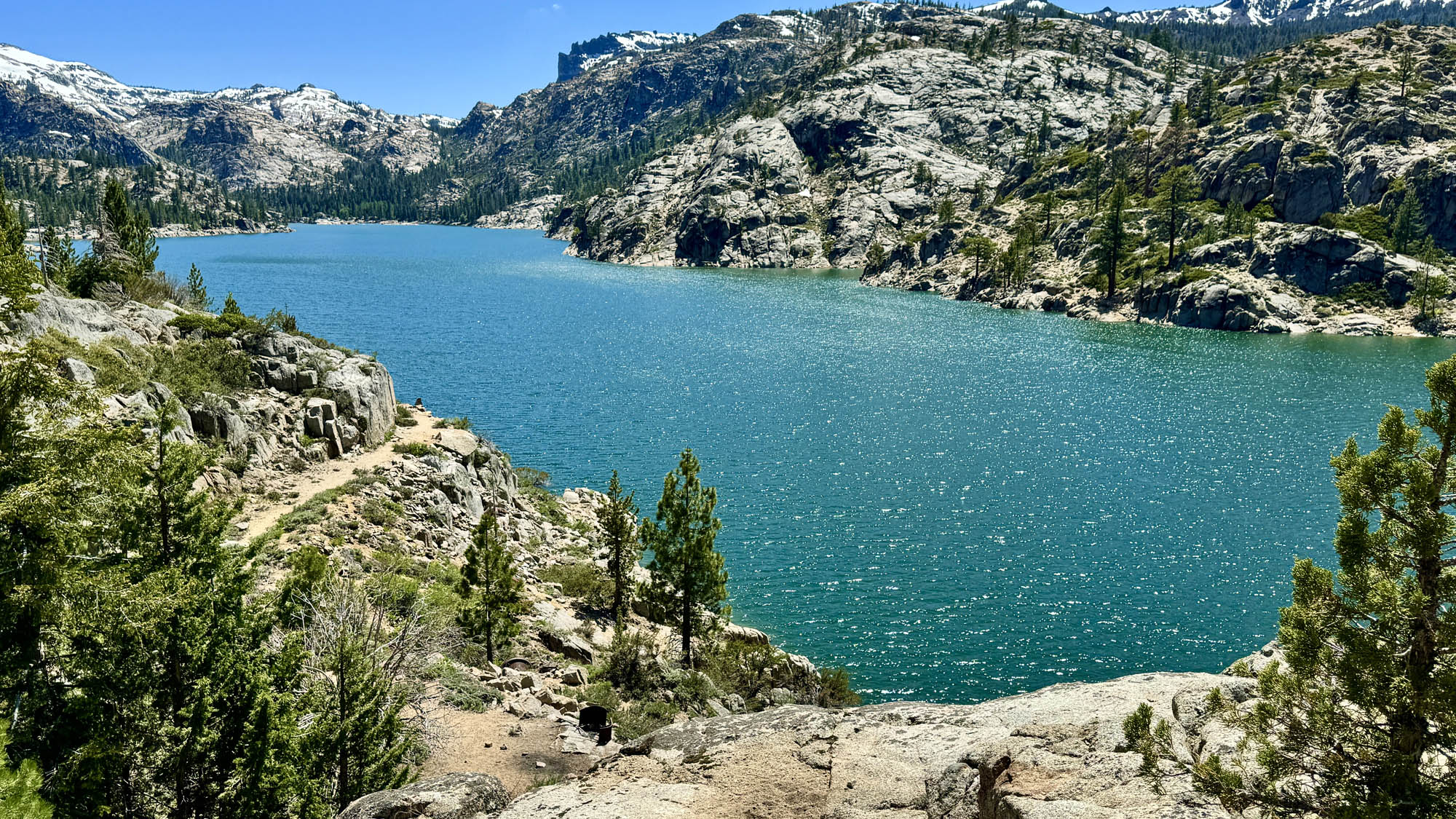
Relief Reservoir sits in the Eastern Sierra Mountains just south of Kennedy Meadows.
We wanted to get out of our normal Northern California area and explore an area we haven’t been to, and we headed to the Sierra Nevada Mountains in Tuolumne County off of Highway 108 to hike to Relief Reservoir.
The hike starts out behind a locked gate on a mountain road at about 6,400 feet and eventually climbs to a little more than 7,300 feet. But don’t be fooled; the elevation doesn’t offer much summer heat relief.
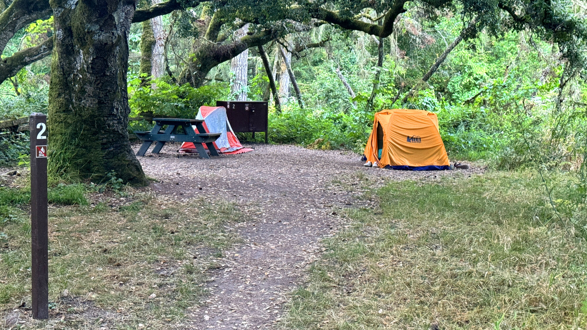
Some of the campsites at Glen Campground at Point Reyes National Seashore offer shade under the green forested canopy.
The hike to Glen Campground starts out on the Bear Valley Trail at Point Reyes National Seashore, and I’ve written about the Bear Valley Trail a few times. This portion of the hike is an easy family friendly trail along the Bear Valley Creek under lush cool canopy.
After about 3.2 miles, you’ll come to a junction. Go straight, and you’ll go out to the ocean and to the Coast Trail. Go left, and you’ll start an ascent through lush, humid forest that leads to the Glen Campground. After about .6 miles on a point 6.6 percent grade, a fork appears between the Glen Trail we were on and the Glen Camp Loop Trail. We stayed left and went onto the Glen Camp Loop Trail and then hiked up about .9 more miles on an average of a 2.3 percent grade to the campground.
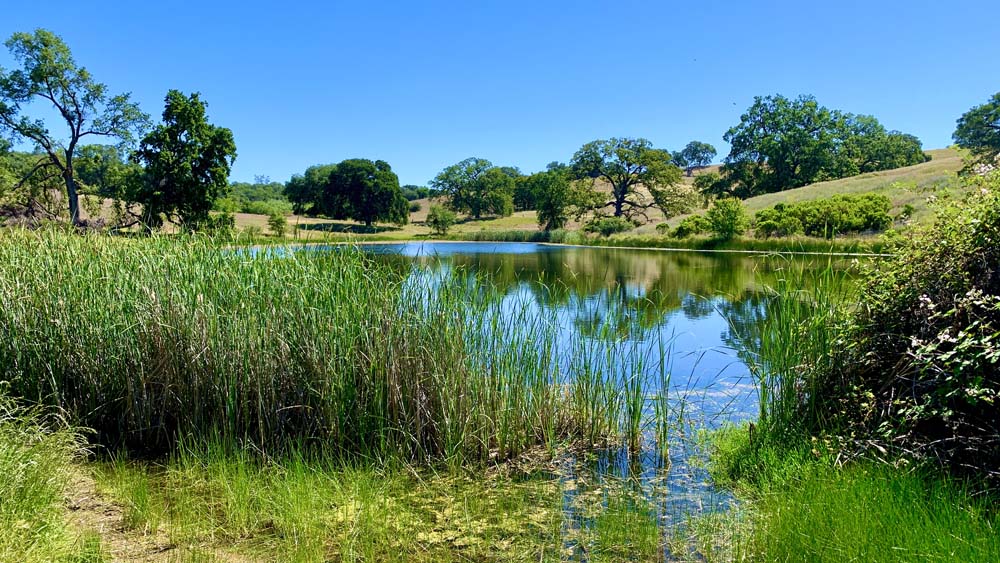
One of the ponds at the Auburn State Recreation Area emerges as you hike along the Olmstead Loop Trail from the canopy. This is one of three ponds in the area.
We hiked a portion of the Olmstead Loop Trail in the Auburn State Recreation Area on a warm spring morning when the hills were still green and wildflowers were still in bloom.
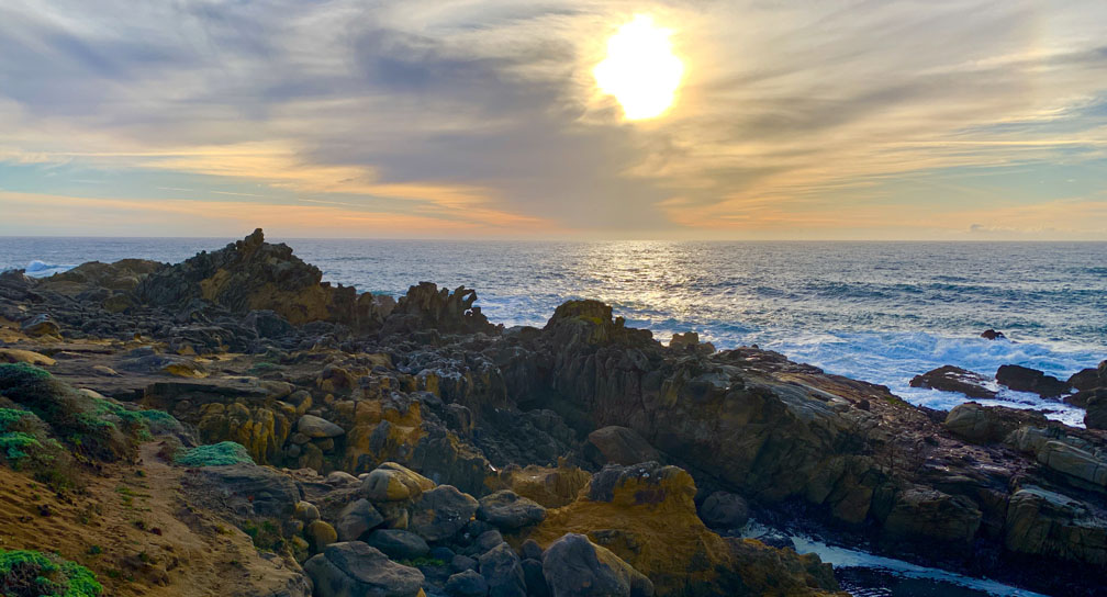
The sun sets over the Pacific Ocean at Salt Point State Park.
The hike at Salt Point State Park takes you through forests, over meadows, and by the seaside. The area is diverse while green and lush in parts while exposed and dry in others. Along the way you will hike amongst redwood trees, Douglas fir, and madrone among other trees.
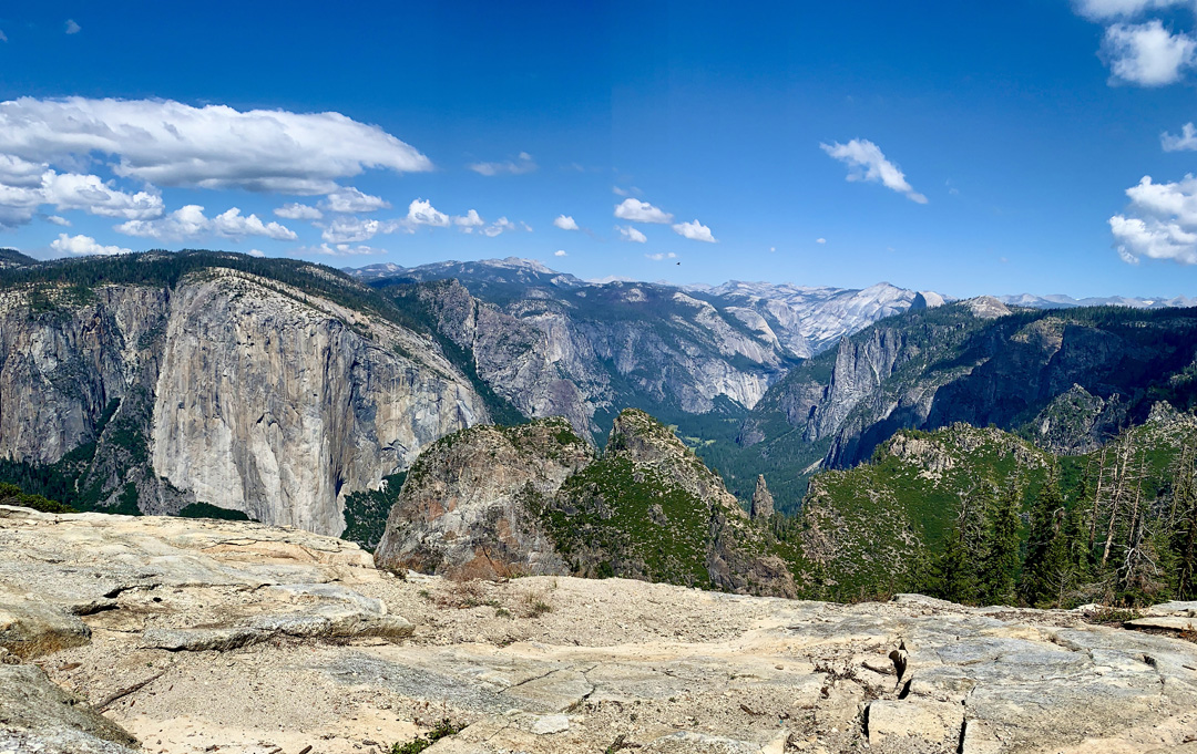
The view from Dewey Point looks the High Sierras in the distance with El Capitan to the left.
The hike to Dewey Point from the McGurk Meadow Trail in Yosemite National Park is a hike to a fantastic view of El Capitan with Half Dome in the distance and the majestic tops of the Sierra Nevada Mountain Range in the background. While many people do this hike as a day hike, we decided to backpack in and spend the night at Dewey Point.
The pond settings along the Sterling Lake Trial in the Tahoe National Forest are breathtaking.
This summary is going to be a little unusual, as I’m going to combine a hiking and a backpacking summary into one post in that we did both in the same location.
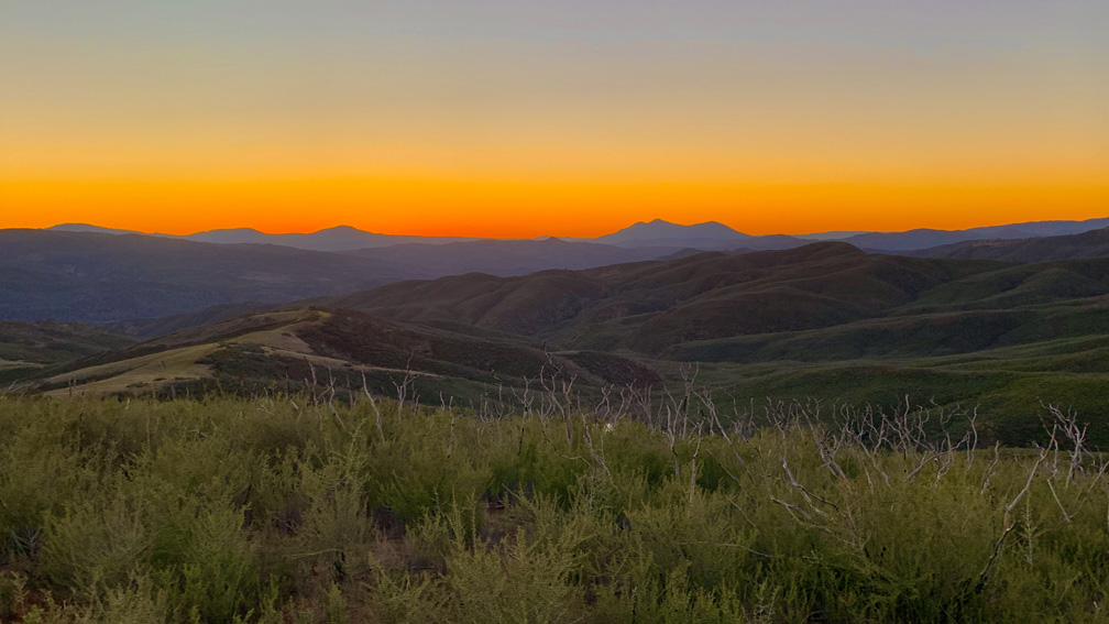
The sunset with Mount Konocti on the horizon as viewed from the Judge Davis Trail about 18.5 miles away.
The hike on the Judge Davis Trail down to Cache Creek was a son of a b*tch and should not be done as an out and back day hike but rather as a point to point backpacking trek.