In 2021, the Dixie Fire burned much of the area, so the landscape may be different now than when we were there about a month or so before the fire occurred.
Hiking to Spanish Peak from Silver Lake in the Plumas National Forest is not easy, but the views are a spectacular payoff. The terrain is diverse. You start off in the forested area at Silver Lake, then you hike exposed over granite as you climb, and then you hike through forested areas again.
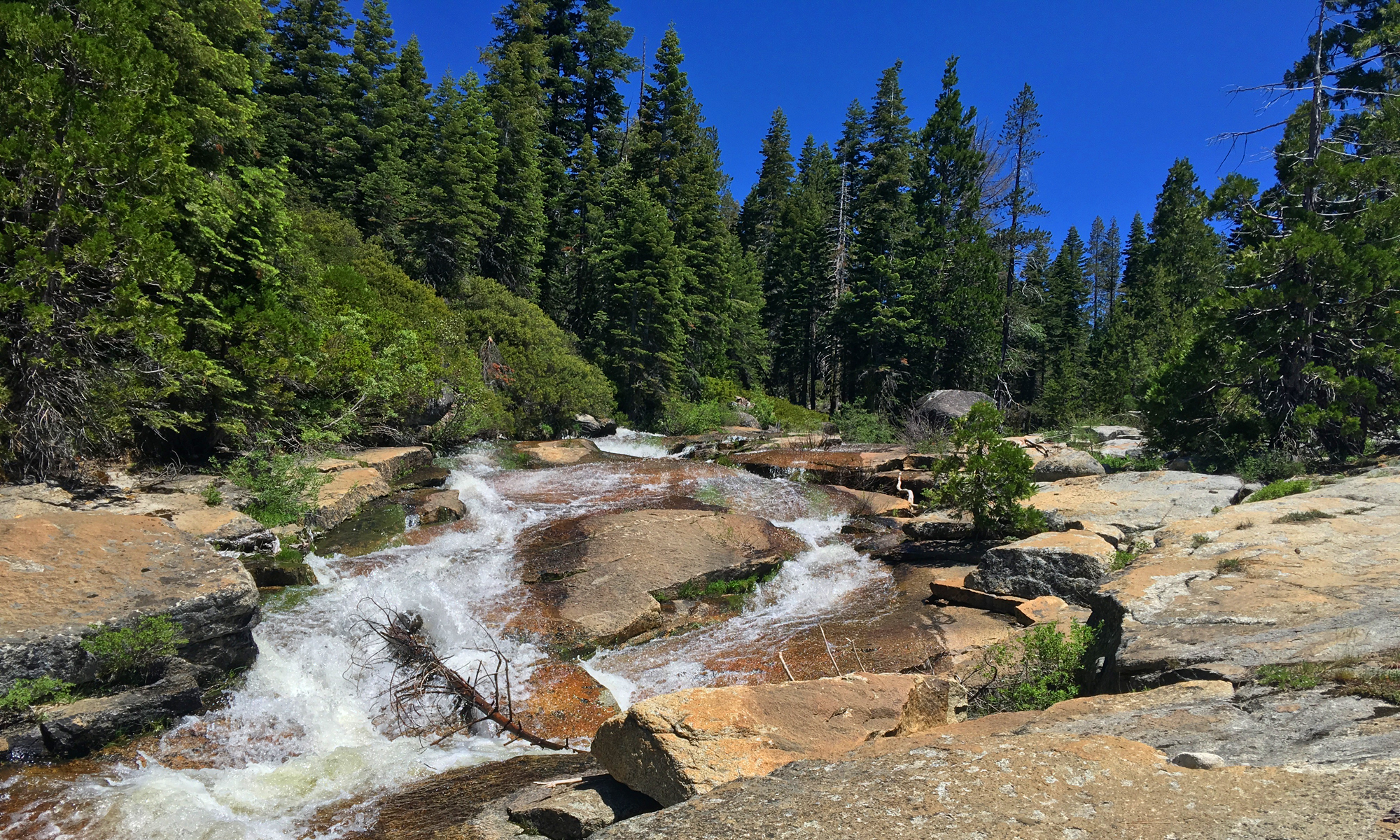
The trail starts off at Silver Lake on a levy/dam built to hold in the water. As you hike next to the lake, the beauty of the granite may make you take pause as you absorb it all. You could actually spend the day at the lake, but this thought didn’t really cross our minds as we headed into the Bucks Lake Wilderness.
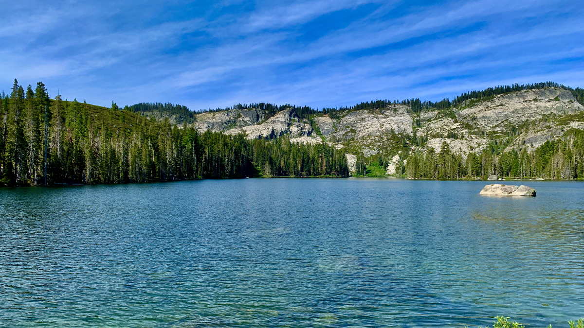
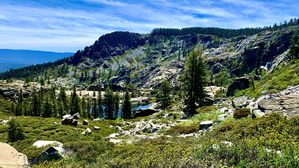
The hike climbs up toward the granite on a well defined trail. Most people take this to Gold Lake, and the trail comes to a fork. At the fork, go right and the trail becomes a little more rugged as it traverses granite and climbs. The climb becomes a 17.8 percent grade over .7 miles. As you climb, you will gain views of Mud Lake, Rock Lake, Gold Lake, and you can look back on Silver Lake. You can also start to see views of Jack’s Meadow, which was a green looking wetland when we were hiking.
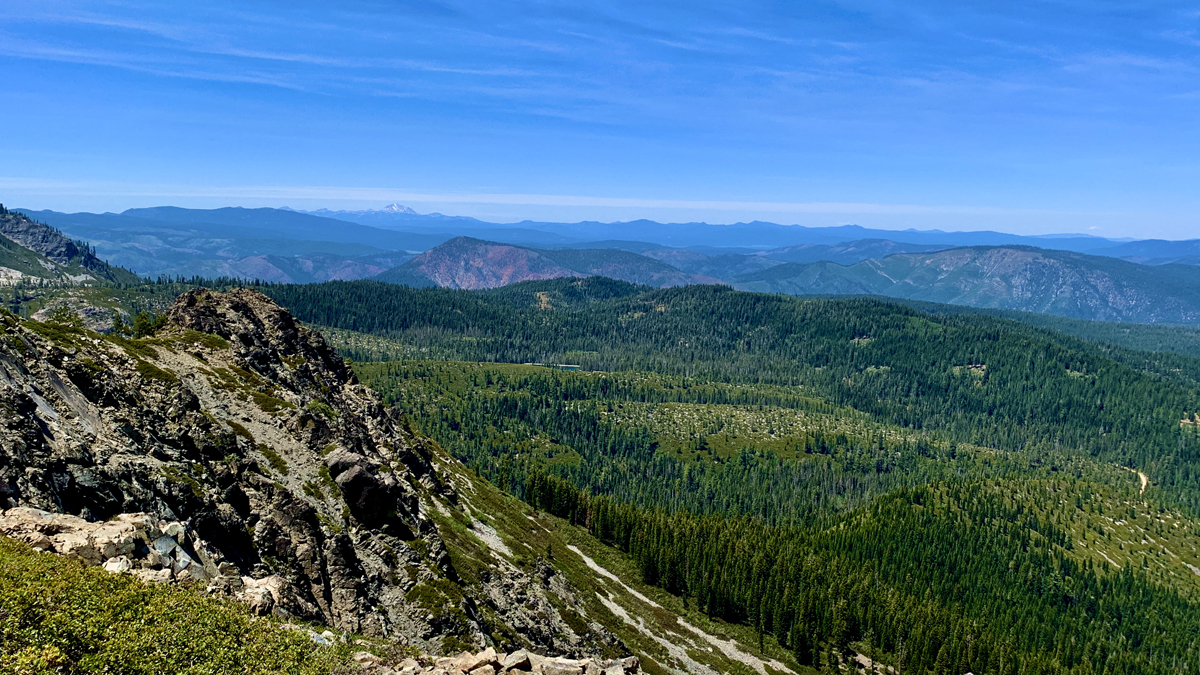
Once you make it through the granite area, you emerge in a tree line where the trail intersects with the Pacific Crest Trail. You will want to go left and hike under trees, which is nice on warmer days. For a little ways, the trail offers views of the lakes below and views into the distance. We hiked the trail in May of 2021, which was a bad snow year, but there were a few small patches of snow next to the trail. We were hot when we came across them, so we dug down to the clean snow, took a handful and consumed it as we hiked. It was refreshing. We did the same on the way back.
You stay on the Pacific Crest Trail for about .75 miles when you come to another intersection. The Pacific Crest Trail goes south, but way you want to go is east toward Spanish Peak for a little more than half a mile.
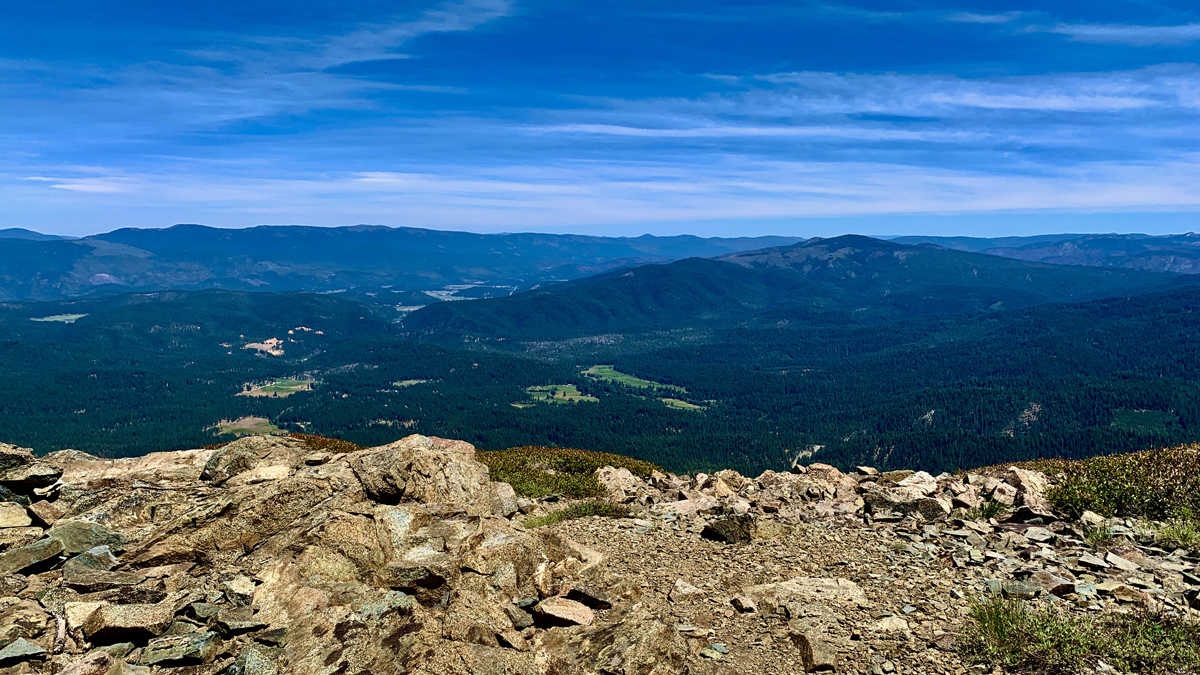
When you reach the peak, you will see the foundation from a lookout tower that once existed there. You can see Snake Lake to the northeast along with the vast views from Spanish Peak. You can’t really see the town of Quincy because of a hill in the way, but you may be able to make out the Quincy Q in the distance. There’s no cover, but stay at the top as long as you like and take it all in before heading back.
When we hiked the trail, there was no water after starting from the granite climb. If you’re hiking on a hot day, be sure and take plenty of water with you. Keep this in mind if you have a dog with you. We ran into a couple who had a dog with them, and it was panting and dehydrated. They were looking for a water source for it and had a difficult time. Go prepared so you or your pet doesn’t have to suffer.
Directions: From Quincy, take Bucks Lake Road to Ranch Road in Meadow Valley. Turn onto Silver Lake Road for 6.2 miles to the parking area (it’s a forest dirt road). Parking is here: 39.958433, -121.134883. Use these directions, and do not use a Garmin GPS to drive to the parking area. Mine directed me to a road that does not exist.
The Skinny
Trail: Silver Lake to Spanish Peak
Trailhead Coordinates: 39.958433, -121.134883
Trailhead Elevation: 5829 Feet
Distance: 7.3 Miles – Out and Back
Level of Difficulty: 🟠
Average Grade: 6.3%
Steepest Grade: 18.6% Over .7 Miles
Ascension: 1614 Feet
Trail Condition: 🟢🟢🟢
Scenery: 🟢🟢🟢
Nearest Town: Quincy
Challenges: The Climb
Traffic: 🥾
Highlights: Views
Best Time: Spring, Fall
Hazards: Loose sand on granite,
Wildlife Concerns: Bears, Mountain Lions
Cell Service: 📱📵 (AT&T)
Would I Do This Hike Again?: No, but would enter from another way
Parking: Free
Restrooms: Vault toilets in the parking area