Wow. That’s all I have to say about this hike in Hawai‘i Volcanoes National Park.
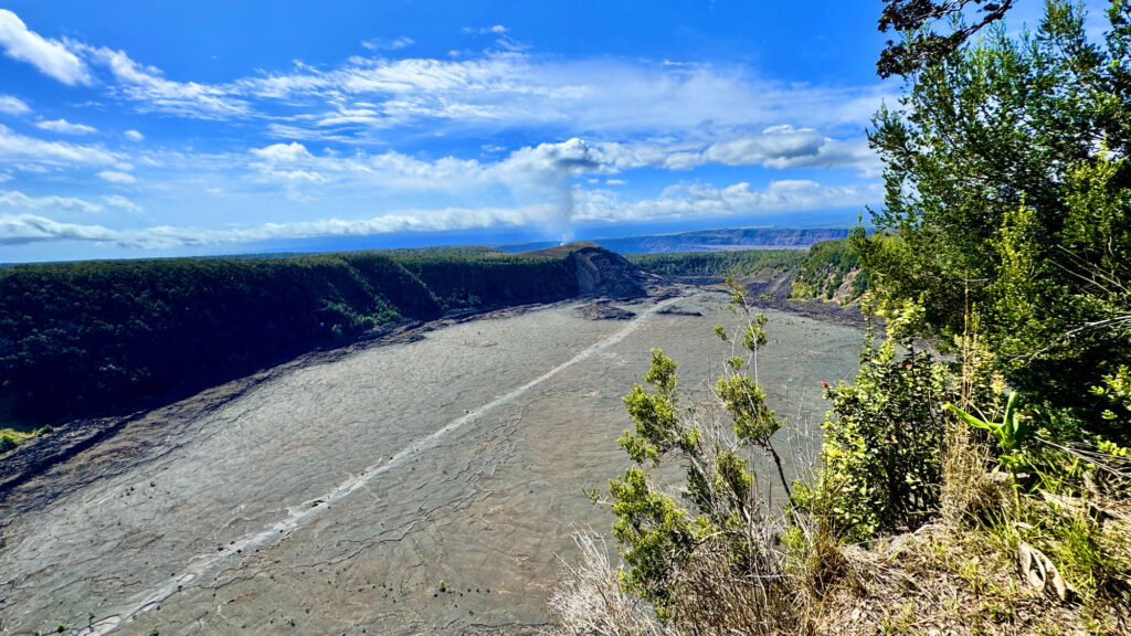
Having never hiked in an environment like this before, I was really impressed by the climate. The trail that went through the rainforest was humid and lush, and by contrast, the Kīlauea Iki crater was exposed, burned out and covered with lava rock where growth emerged through cracks in it where lava flowed in 1959.
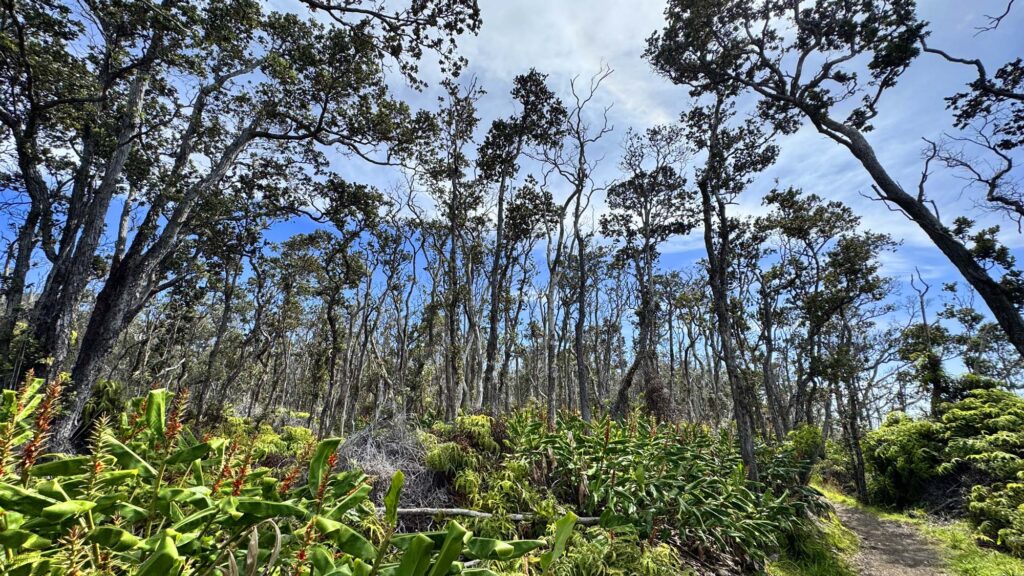
We started our hike at the Volcano House Gift Shop where we were able to find a parking spot. We hiked about a mile on the Crater Rim Trail, came to a junction and headed west at it where we could have gone east instead. Along the Crater Rim trail we saw ʻōhiʻa Lehua and koa trees, and many others we could not identify. We also passed by ‘ama‘u ferns and kāwa‘a shrubs among many other green tropical plants.
After about a tenth of a mile of hiking through the rainforest, the trail comes to a junction and continues to the south southwest. To go straight, the trail becomes the Byron Ledge Spur and took us away from our objective. We followed the trail for another .14 miles and came to another junction where a footway comes in from the west, and we headed east down toward the crater and hiked down into where we emerged from the forest after about .3 miles.
As you enter the crater, there is a sign that tells hikers to follow the Ahu, which are piles of lava along the trail.
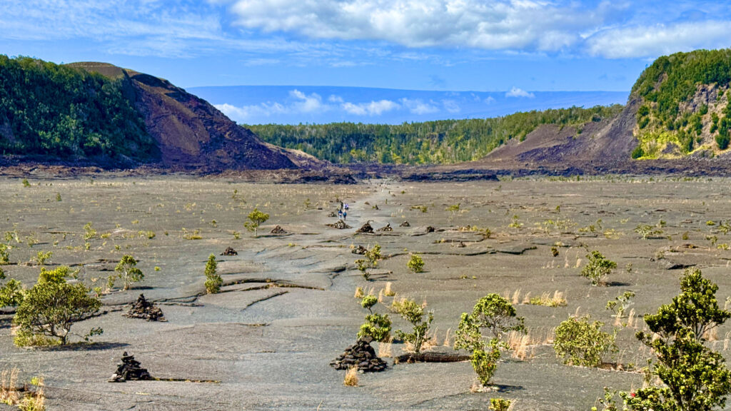
The around three quarter mile-long hike across the crater floor before the ascent back up is barren with plant-life growing up in scattered places through the hardened lava floor from the 1959 eruption. The crater is mostly sparse, exposed, and can be hot and dehydrating, so bring plenty of water with you.
Once you start ascending, you almost immediately find yourself back under the humid but shady canopy for the climb out that is about .75 miles to the Crater Rim Trail.
Once we reached the crater rim, we hiked for about 1.15 miles and came to where we went west on the Crater Rim Trail having gone full circle. From there, we headed back north to the visitor center area, which was about a mile and retraced our steps back to where we started.
Directions: From Hilo, head north on HI-11 for about 26.5 miles and turn left on Crater Rim Drive and proceed to the entrance station of the park. From there, travel a little ways and the visitor center is on the right, and the Volcano House is on a turn off to the left. There is additional parking here, which we did not know about at the time of our visit: 19.427500, -155.257317
The Skinny
Trail: Crater Rim And Kilauea Iki Trail
Trailhead Coordinates: 19.427183, -155.257700 (Where We Got On The Trail)
Trailhead Elevation: 3954 Feet
Distance: 4.9 Miles – Lollipop
Level Of Difficulty: 🟢
Average Grade: -.07%
Steepest Grade: 10.8% Over .79 Miles
Ascension: 1138 Feet
Trail Condition: 🟢🟢🟢🟢
Scenery: 🟢🟢🟢🟢
Nearest Big Town: Hilo
Challenges: Humidity, Heat
Traffic: 🥾🥾 (When We Were There)
Highlights: Views
Best Time: Spring, Summer, Fall, Winter
Hazards: Heat, Dehydration
Cell Service: 📵 (Verizon)
Would I Do This Hike Again?: Yes
Parking: $30 Valid For 7 Days At The Time Of This Writing.
Restrooms: At Trailhead