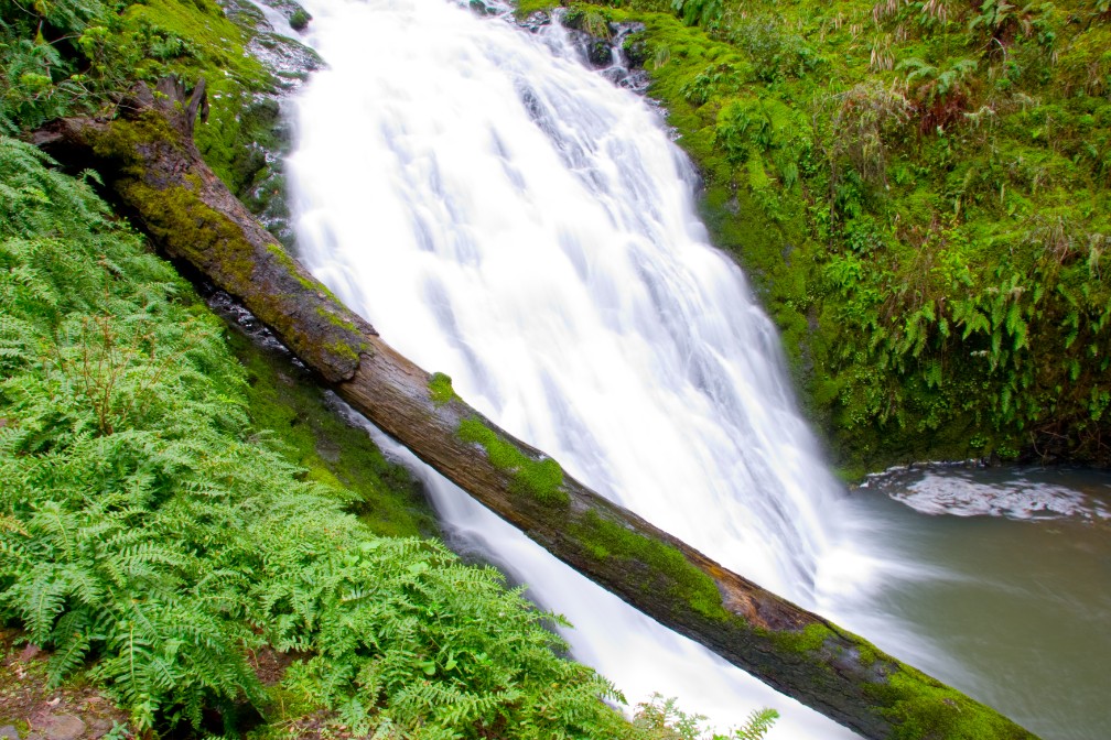
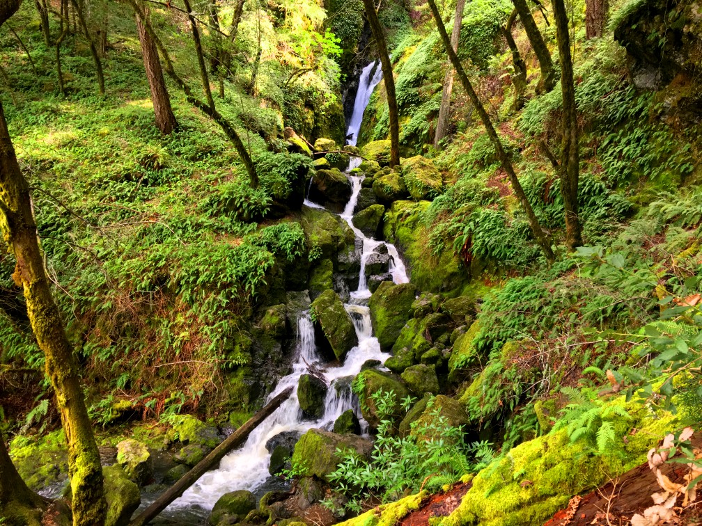
There is little doubt that hiking Cataract Trail is one of the big highlights of Mount Tamalpais State Park, as the trail follows Cataract Creek as it tumbles down to Alpine Lake.
There are a few access points to the trail, but if you want to take it from the top to the big waterfall, you can start at the Rock Spring trailhead and work your way down a 1080-foot descent. The hike is mostly under lush canopy on a well maintained trail. There are a few narrow patches on the trail where you or other hikers may have stand aside in order to pass, and there are also many steps on this trail. Coming up isn’t difficult, but it’s not easy either, as you have to climb back up the 1080 feet you went down over a three-mile span.
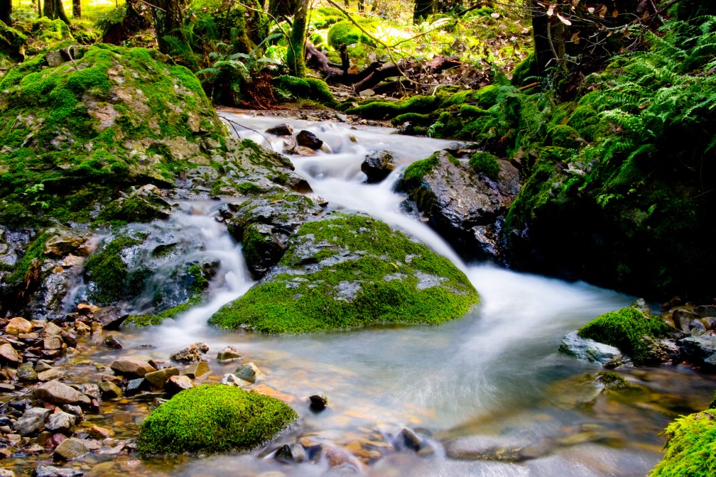
The best time to hike this trail is during or just after heavy rain when the creek flows profusely in the winter or spring. During the summer or fall before the rains, the creek can run at a trickle or even be dry.
Once you make it down to the largest fall, you can go on for about another .4 miles where the trail will end at Bolinas Road and turn around there.
The hike back up can be exhausting, but if you pace yourself, it’ll be fine. There are places to stop and rest if you need to either in an area where there are benches and tables, or just on the rocks overlooking the creek. Enjoy it.
Directions: From Highway 101, take the Highway 1 Exit North. Turn onto the Panoramic Highway and follow it to the Pantoll Parking Area. Parking is spacious but also limited and tends to fill fast on weekends and holidays. Parking is here: 37.910648, -122.612664
The Skinny:
Trail: Cataract Trail
Trailhead Coordinates: 37.910783, -122.612750
Trailhead Elevation: 1956 Feet
Distance: 5.9 miles – Out and Back
Level of Difficulty: 🟠
Average Grade: 11.3%
Steepest Grade: 21.4% over .4 Miles
Ascension: 1080 Feet
Trail Condition: 🟢🟢🟢
Scenery: 🟢🟢🟢🟢
Nearest Town: Mill Valley
Challenges: Steep Climb
Traffic: 🥾🥾🥾
Highlights: Waterfalls
Best Time: Winter, Spring
Hazards: Slick ground in places
Wildlife Concerns: Mountain Lions, Rattlesnakes
Cell Service: 📵 (AT&T)
Would I Do This Hike Again?: Yes
Parking: Free (At the time of this writing)
Restrooms: Vault toilets near parking lot