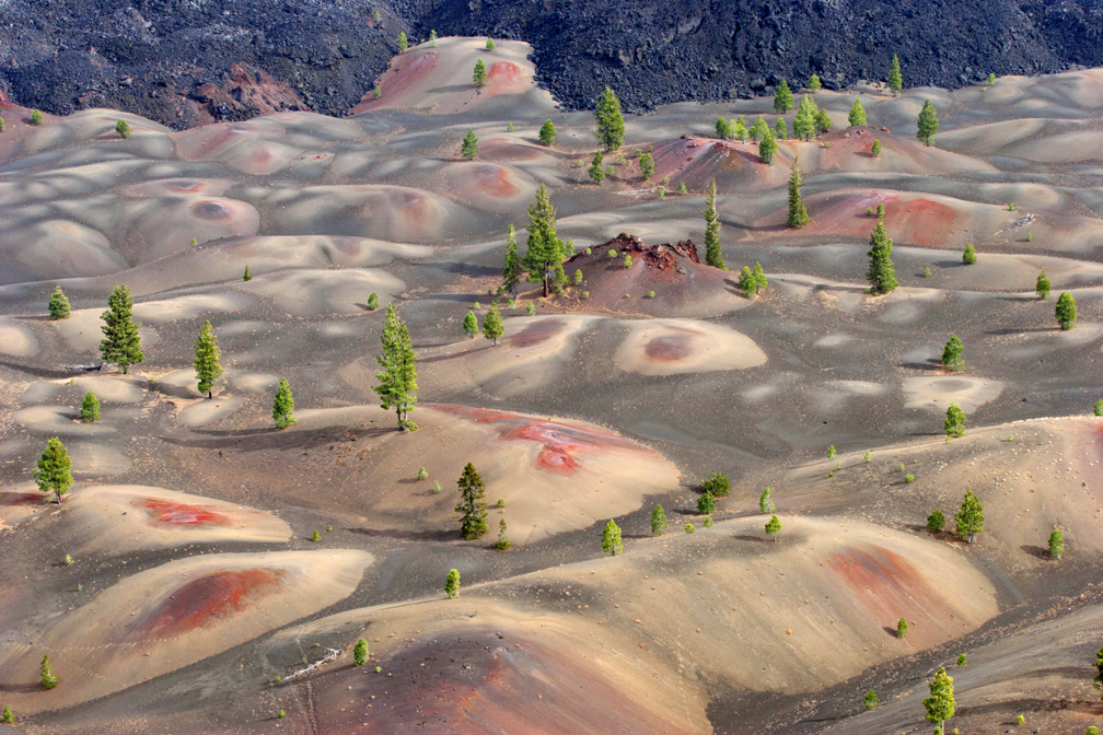
The views from Cinder Cone over the Painted Dunes at Lassen Volcanic National Park offer an incredibly “artistic” view of the landscape. But if you want to see this incredible view, you will have to work for it.
Starting out at the Butte Lake Campground/parking lot, you’ll get a taste real quick of the type of terrain you will be hiking in – lava ash, which is just like sand. For the first mile, the hike is pretty easy, and to make it easier, you may be able to hike on the pine needles on the sides of the trail. But as you leave the trail and the cover, the hike up Cinder Cone comes into view, and it may stop you in your tracks.
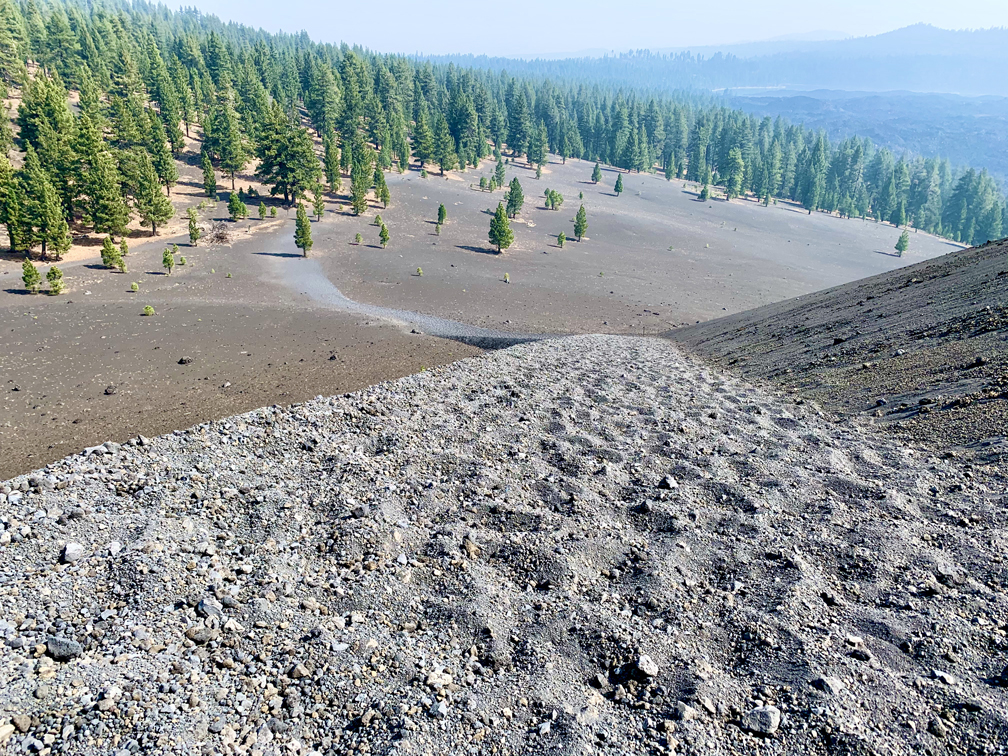
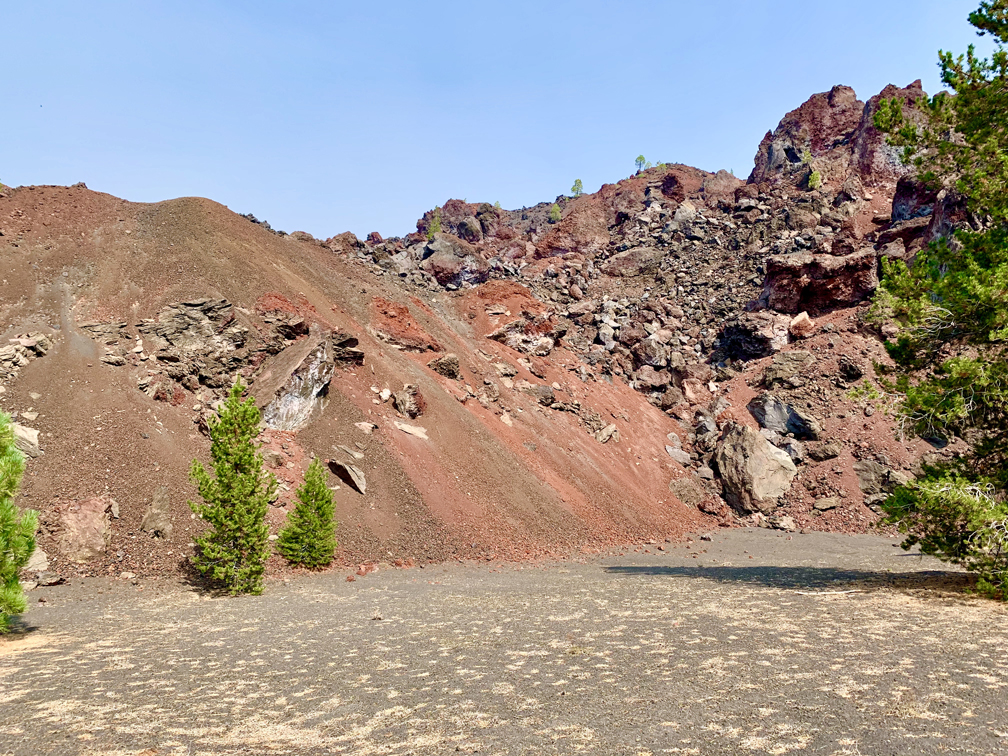
The climb up Cinder Cone is about 900 feet on a 24 percent grade in lava ash. Basically for every two steps forward you take, it’s also like you take a step back. It can be a very difficult climb. Just take your time, and if your body tells you to stop on the way up, listen to it.
I hiked to the top of Cinder Cone in 2005 and again in 2007 or 2008. The first time, I didn’t have too much of a problem, but I felt it. The second time, it took me a little longer and I had to put in more effort. Then in 2020, I couldn’t do it. I don’t know if it was age and an older body or something else, and I was disappointed in myself, but I didn’t let it stop my hike for the day. I went back down, and I took the bypass trail around to the other side of Cinder Cone and continued on toward Snag Lake.
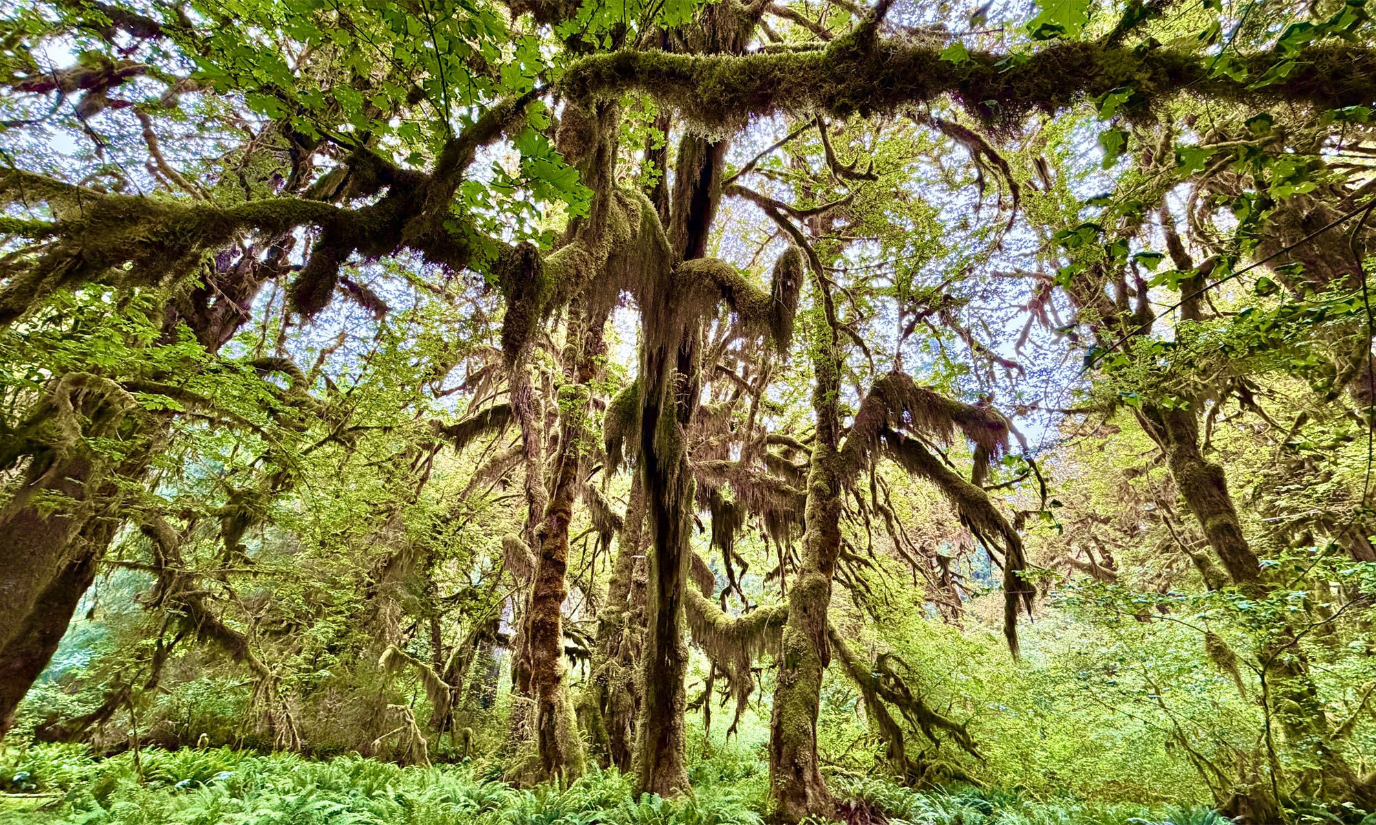
After you leave where the back trail comes off Cinder Cone, the hike is about two miles to your water source, Snag Lake. The hike along the way is also covered in lava ash, and there is some up and down, but it’s not bad. At first you’ll hike exposed, but you will eventually return to the forest cover.
Along the way you may see deer. We saw a buck and a doe with a fawn separately. There is the possibility you could see a bear and other wildlife, and we did see both a bear and mountain lion track during the hike.
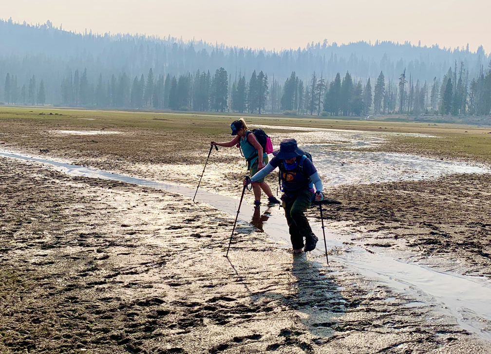
After we stopped to filter water from the lake and replenish our supply, we hiked on. After about three quarters of a mile, we decided to deviate from the trail to take a shortcut, as it was getting late in the day. The water level at Snag Lake was low, so we cut down to the shore line and eventually across a flat from where the water receded. We saw deer out in the middle, so we figured while looking a little muddy, it wouldn’t be difficult to cross. That assumption was a mistake.
While we did save time and miles, we sunk in the mud. I was the worst in the group sinking down to my ankles, and I required the help of one of my hiking buddies to pull my foot out of the mud. As I pulled one foot out, the other sunk in. Fortunately, I did not lose my boots. I was really scared of that. It took quite a while to clear out of that area and find ground that wasn’t so soft. Side note: I ended up tossing my boots. I washed them multiple times, but I couldn’t get the rank smell out of them.
We hiked back in the direction of the parking lot. We hiked another 3.6 miles to the edge of Butte Lake where we again filtered and replenished our water supply. At this point, the sun was about to set, and we hiked on a little bit further before breaking out our lights. We did not plan on hiking in the dark, but it happened. Fortunately, I had my headlamp in my backpack for just such unplanned instances. We made it to another fork and took it to the left and lost the trail in the dark. We had to climb up steep switchbacks, and after starting the hike around 9:50 in the morning, it started to become the “never ending hike.”
If you decide to do this hike, don’t go alone. After you leave Cinder Cone, you may see other people, but they will be scant. At the very least, if you do go alone, take a locator beacon. The further away you get from Cinder Cone, the more remote you will find yourself.
Directions: From Redding, take Highway 44 East for 71 miles and turn right onto Forest Route 32N21 and follow it a little more than 6.5 miles to the Butte Lake Campground. You will have to self-register when you park. Parking is here: 40.564940, -121.301940
The Skinny
Trail: Cinder Cone to Snag Lake
Trailhead Coordinates: 40.563650, -121.302650
Trailhead Elevation: 6060 Feet
Distance: 12.3 Miles; Your Milage May Vary – Loop
Level of Difficulty: 🔴
Average Grade: 6.5%
Steepest Grade: 16.5% Over .2 miles
Ascension: 1156 Feet
Trail Condition: 🟢🟢🟢
Scenery: 🟢🟢🟢🟢
Nearest Town: Old Station
Challenges: Hiking in Lava Ash, Steep Ascension
Traffic: 🥾
Highlights: The Painted Dunes
Best Time: Late Summer if wet year, Fall
Hazards: Exposure
Wildlife Concerns: Bears, Mountain Lions
Cell Service: 📱, 📵 (AT&T)
Would I Do This Hike Again?: Maybe
Parking: $30 good for seven days
Restrooms: Yes, in the campground – flush and vault