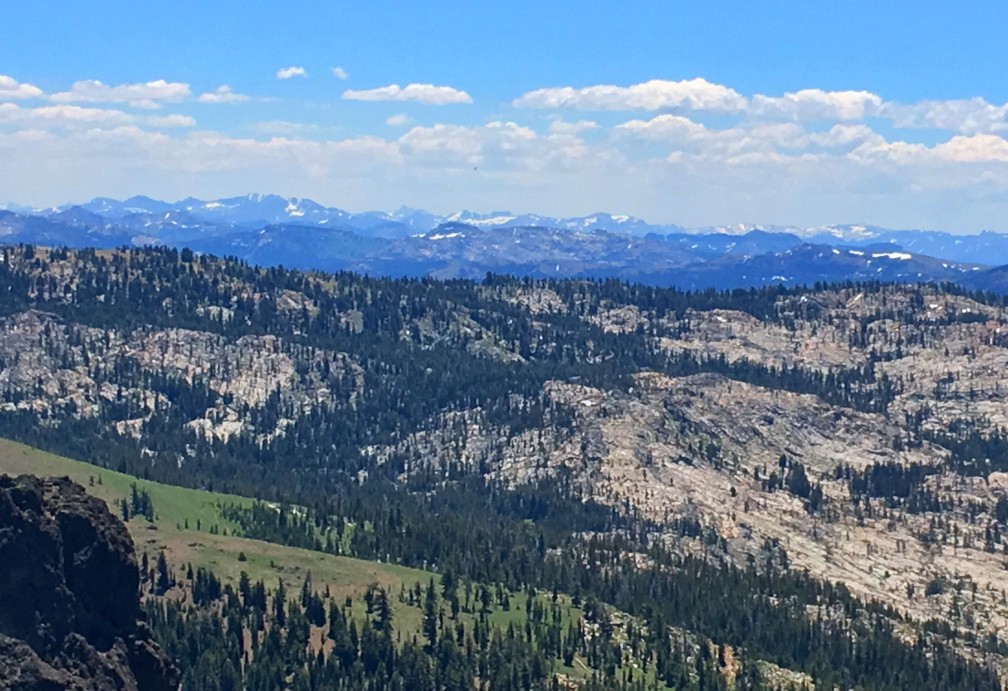
This sometimes heavy breather of a hike to Thunder Mountain has outstanding views of mountaintops and ranges and overlooks vast swaths of trees and granite, meadows and forested hiking. At slightly over three miles in, and after some of the heaviest climbing on the trail, you come to the vista that can make you stop hiking and just gaze at the landscape. As you look to the south, you can see mountain peaks in the distance – probably in the Stanislaus National Forest – some with snow on them. If there are clouds in the over them, it’s an even more powerful view.
For the first 2.4 miles, you are going to climb on what works out to be an average of an 8.8 percent grade. It’s not hard, but it’s constant. Stop and catch your breath if you need to. There are plenty of places along the way to the top to check out the mountain vistas to the north, parts of the San Joaquin and Sacramento Valley to the west (on a clear day), and there are points where you can look right down on the Kirkwood Ski Village.
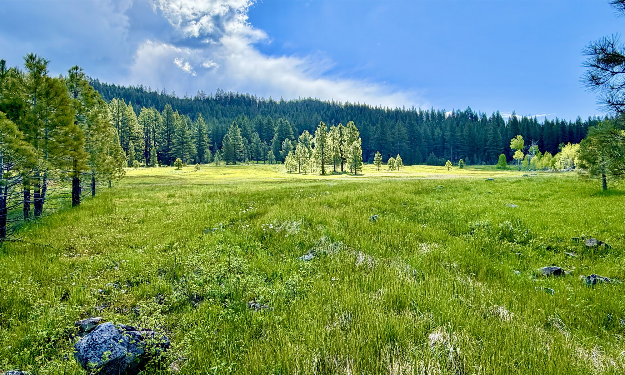
The trail is well maintained and moves through forested spaces and then into exposed areas. During the right time of the year, wildflowers from red, white, yellow, purple, and probably others I may not have seen are along the trail. You will be dazzled by some of the color as you hike.
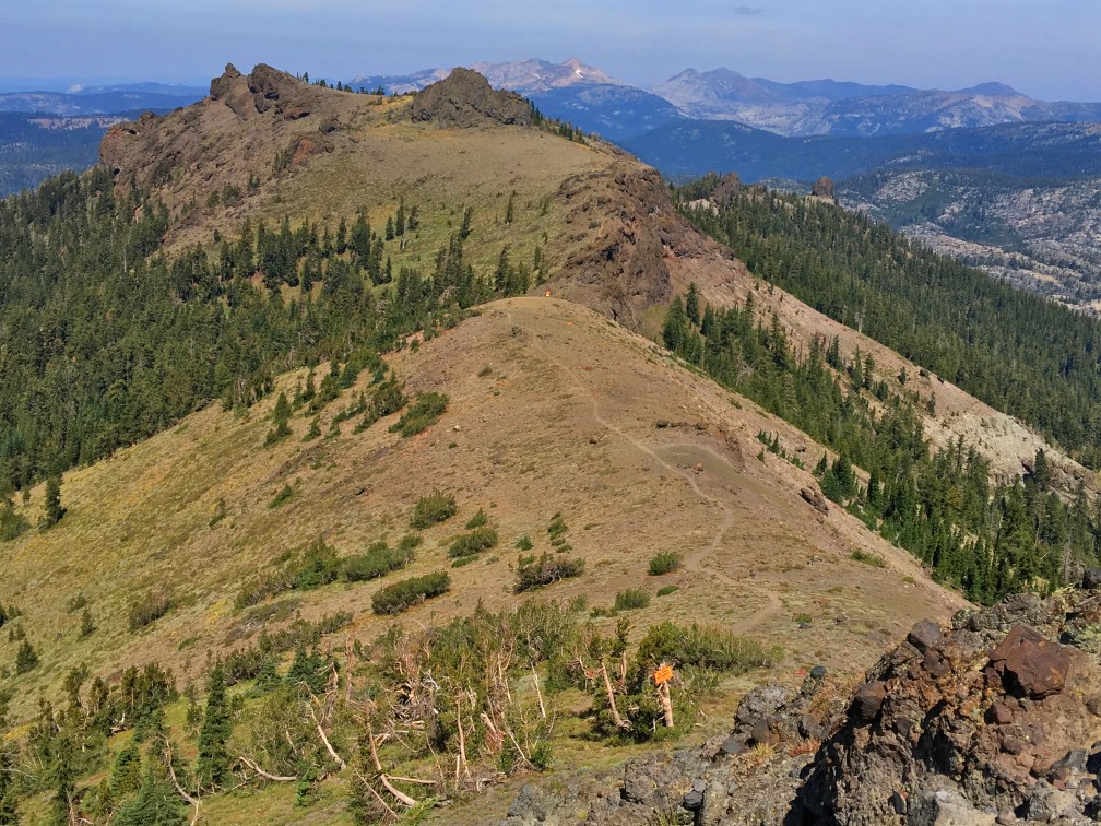
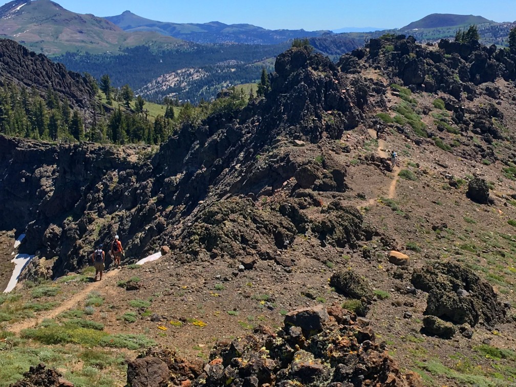
At about 3.6 miles, you will come to a fork with a post. Stay to the right, and that will continue on to the Thunder Mountain peak. A little further down the trail, there is another fork that is unmarked. If you go to the left, you will have excellent views, but there is a steep rocky hike to the top of Thunder Mountain. Go to the right, and it is much easier, but you won’t enjoy some of the views you will be able to see from going left. In the end, at the top of Thunder Mountain, you will see many of the views you would have seen if you went left. When I went to Thunder Mountain, I came to the fork and didn’t know what to do since the trail to the right wasn’t on any of my maps. I chose the trail to the left in that there were more boot prints on it that I could make out. I did come back on the right, and it was faster coming down because I went that way.
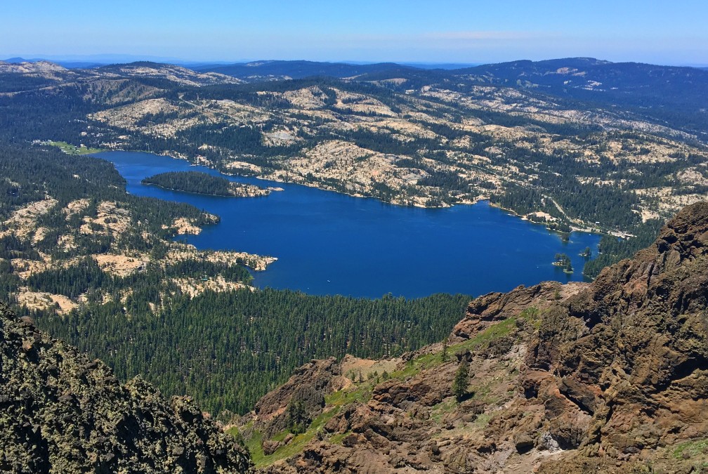
The views from Thunder Mountain are stunning. To the south, you can see the mountain tops of what is probably (not quite sure) the Stanislaus National Forest north of Yosemite. Directly to the west right below you is Silver Lake, and to the north and most noticeable is Pyramid Peak with Mt. Ralston to the right of it. But if the atmospheric conditions are right, it’s the mountain tops to the south that can be the most stunning. You just want to stare at them.
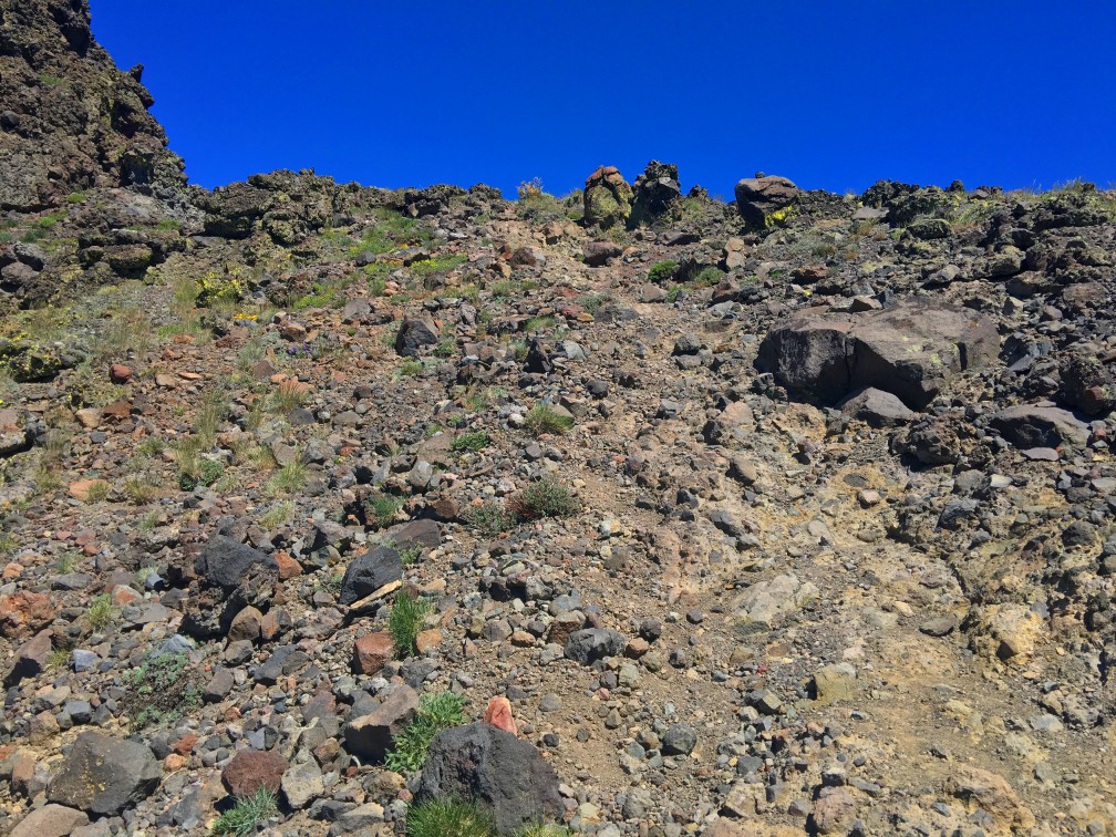
The trail to the top of Thunder Mountain – just when you’re almost there – can be tricky. I lost the trail even though I was looking up at people nearly in front of me that were on top of the mountain. You will have to do some climbing on a rocky surface to it make to the peak. It’s not bad, and even if you’re directionally challenged, this is hard to miss.
At this point, you’ve made it. Stay there and take in the views. You can see parts of the trail, even near the beginning, in the distance from where you came and will have to hike over again to get back. Take it all in as long as you want while you’re there.
Directions: From Sacramento, take Highway 50 to the Sly Park Exit. Turn right onto Sly Park Road and follow it and turn on Mormon Emigrant Trail (it’s a road closed in the winter) and follow it to Highway 88. Turn left on Highway 88 and head to the small parking area. There is a sign at the entrance marked Thunder Mountain Trailhead.
The Skinny
Trail: Thunder Mountain Trail
Trailhead Coordinates: 38.705483, -120.107306
Trailhead Elevation: 8022 Feet
Level of Difficulty: 🟠
Scenery: 🟢🟢🟢🟢
Nearest Town: Markleeville
Distance: 8.1 – Lollipop
Ascension: 1965 Feet
Average Grade: 6.3%
Steepest Grade: 10.5% over .5 miles
Trail Condition: 🟢🟢🟢🟢
Challenges: Some heavy breathing in places
Trail Traffic: 🥾to 🥾🥾
Highlights: Scenery, Views
Best Time: Spring, Summer, Fall
Hazards: Temperatures higher than 90 degrees Fahrenheit
Wildlife Concerns: Bears, Mountain Lions
Cell Reception: 📱(AT&T)
Would I Do This Hike Again?: Yes
Parking: Free
Restrooms: None