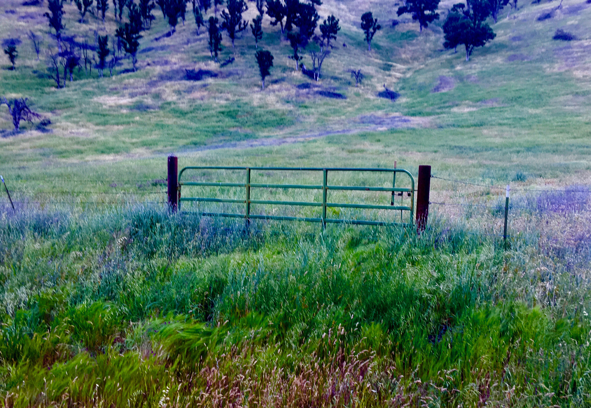
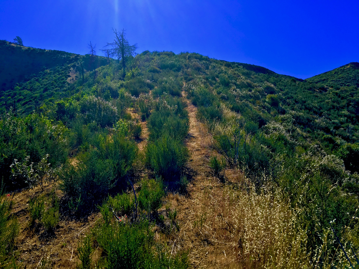
The hike up Billy’s Hill and then over to Glascock Mountain can be a butt kicker, but it is worth it. This land is overseen by the Bureau of Land Management, so you can hike on it. Once you climb over the green gate, you will see there is no trail up Billy’s Hill, so the best way, albeit steep, is to hike a game trail. You may have to stop and rest on the up, which took me a little more than an hour to climb the 19 percent one-mile grade. The 980 foot ascent takes you from a starting elevation of 798 feet to 1778 feet.
As you start hiking Billy’s Hill, you may find the easiest way to climb it takes you in the opposite direction of Glascock Mountain. There are other ways to ascend, but they are steep.
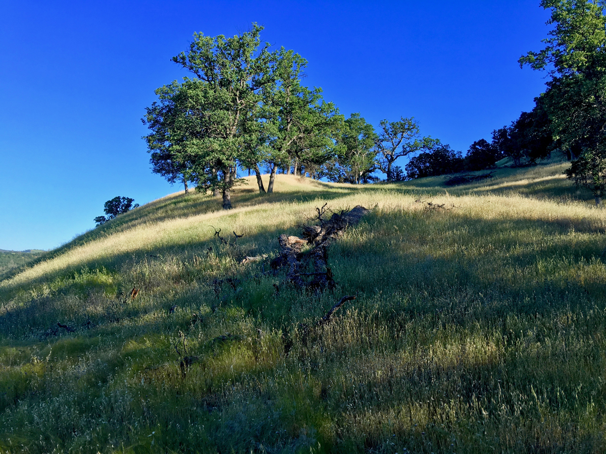
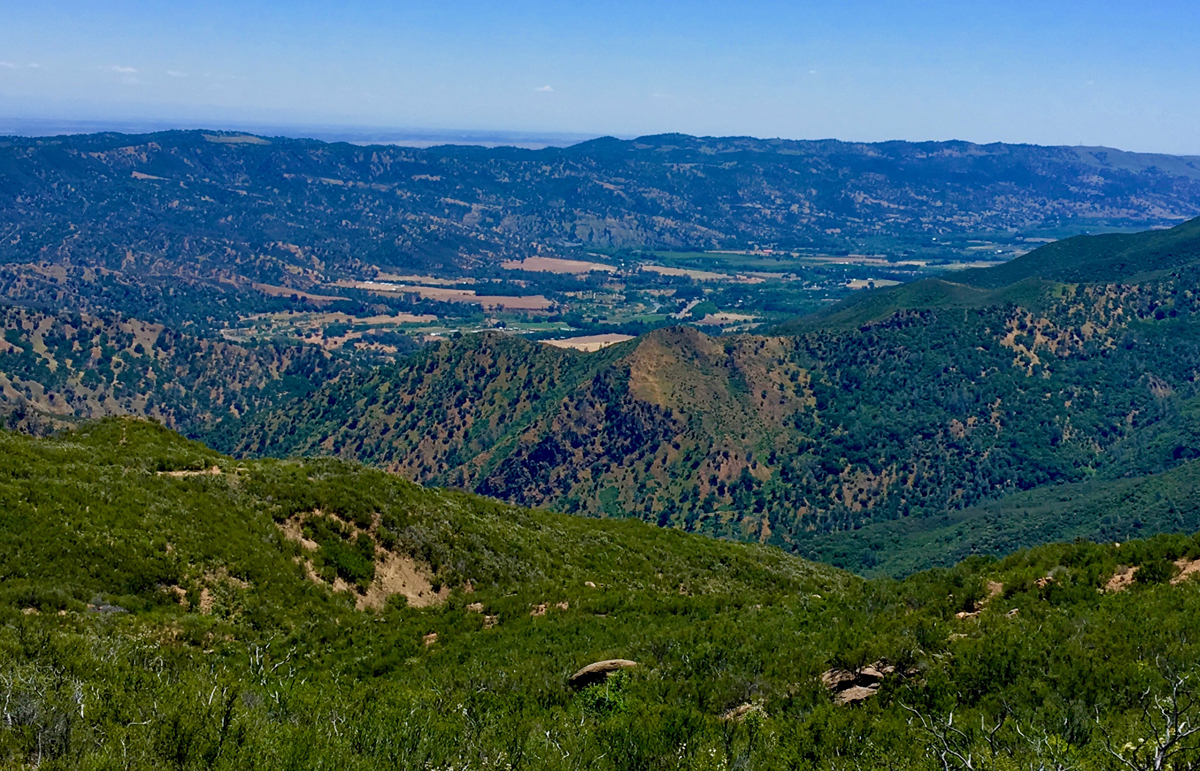
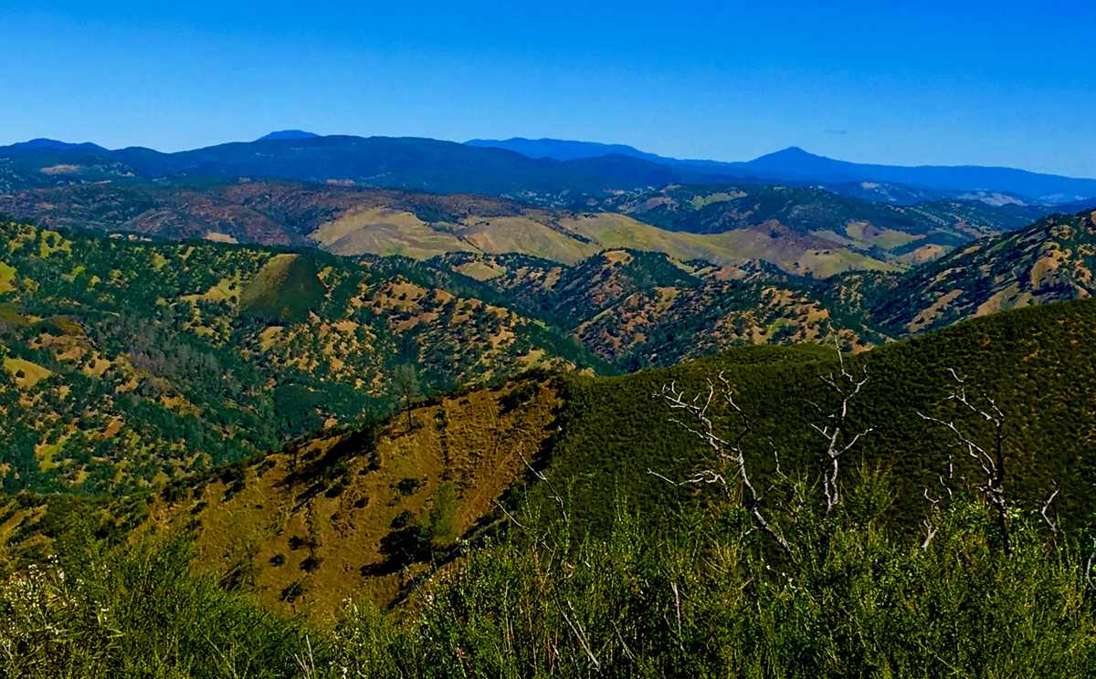
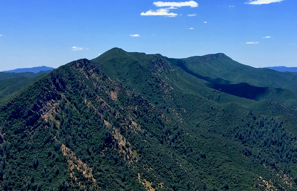
Once you’re on top of Billy’s Hill, take the time to look around. The Cache Creek Ridge is to your south. A sweeping vista of foothills are to your north. You can see Highway 16 below. It’s perfectly fine if you want to make this your turnaround point – it’s work just to get to this point. If you go on, this is where you leave the oak trees and the trek to Glascock Mountain is completely exposed to the sun.
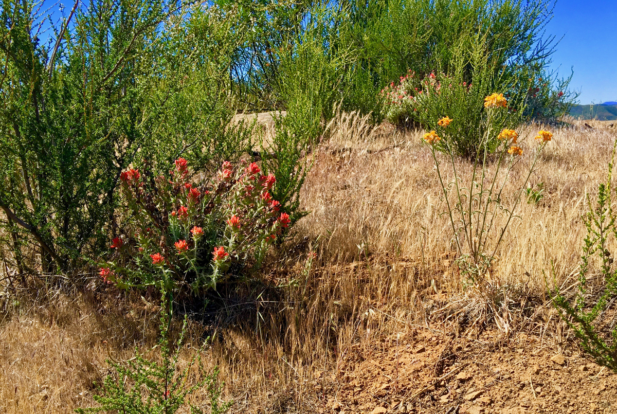
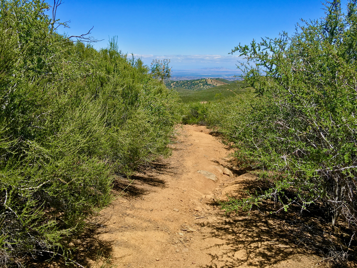
Once you leave Billy’s Hill, you head easterly toward Cortina Ridge. There is no real trail, and you have to navigate right through growth in some places while others are clear. I went in early May, and while some of the grasses were turning their golden yellow, much of the plants were green and wildflowers were in bloom. On my way back, I met an old acquaintance on the trail, Mr. Rattles, but we passed each other (very quickly I might add) without incident. While you’re on this climb headed to Cortina Ridge, you rise in elevation, and if you stop to look around, you can see Mt. Konocti to the west, and Snow Mountain to the north. The views of these landmarks get better as you continue to ascend.
As you approach the Cortina Ridge, the hike becomes incredibly steep on the small last stretch, and you may actually have to use your hands as well to climb. At this point, I was also thinking about how I was going to get back down when I came back since it was so steep. Unlike the Pleasants Ridge Trail, I was able to do it without having to engage in a controlled fall, but it was a pretty hairy experience.
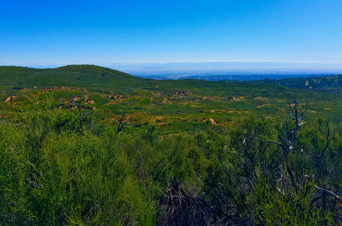
Once you make it to the top, you emerge on an old fire road. Head south toward Glascock Mountain. Shortly after you begin heading south, you will have a choice to make. You can follow the road you’re on, which eventually runs out, or you can turn and hike along a lower fire road which makes you wonder at times where it went. This lower road is easier, but you will be hiking amongst chaparral the entire time. If you go straight at the junction, you will encounter some fantastic views as you hike along the ridge. The drawback with this is once the road runs out, there is no trail, and you are bushwhacking. At times it looks like there may have been a trail, but it’s not there now. For the views this is the way to go, but it is not easy.
In 2012, the area burned, and while it seems to have recovered nicely, there are still many burned out stalks from the plants present, which leave you with black marks on your clothes. Also, at the right time of the year, there are wildflowers along the ridge.
You will come to a point where you have to climb a hill if you go this route, and it’s not easy. There is no trail, and the growth is thick. I’m not sure how I found a “less difficult” way, but I did amongst the growth. At one point, though, I had to stop and rest. After sitting for a few minutes, I saw tick walking on me. It was quickly dispatched, and I got up and moved out. Going further up the hill, I could see an old boot print, so I know I’m not the only one who found this way. Once you make it to the top, it opens up, and you can see Glascock Mountain still about a mile away. There is a path for the most part, and it will lead you to a fire road that will take you to the mountain.
When you join the fire road, you are getting on the lower road you passed shortly after you made it to the Cortina Ridge.
When you reach Glascock Mountain, you will have a good view of the northern end of Capay Valley, and on a clear day you can look out to the Sutter Buttes. With binoculars, I could see downtown Sacramento. Across from you to the south, you see Fiske Peak on the Blue Ridge Trail. Sit on the rocks and enjoy the views and have lunch if you brought food with you. Rest and hydrate for the hike back.
After sitting for quite awhile and taking in the views, I started my return. On the way back, I observed on the road on mountain lion tracks that I didn’t see when I came in. They were old, but they were unquestionably from the big cat. I later saw bobcat tracks as well some distance away from these. I also saw elk tracks at one point, but the only wildlife I saw, besides Western Diamondback Rattlesnake mentioned above, were birds.
I came to the point where I joined the fire road from the path I came in on. I elected to take the road back in that coming from the other direction took a good amount of energy to hike through, and I didn’t want to exude it again as there was no trail. The road was much easier, but I made a mistake on that road that turned the hike into an agonizing experience after I ran out of water. I wrote about that in the When a Hike Turns to Agony post so you don’t make the same mistake I did.
If you download the GPS tracks and decide to take the fire road back, make sure you check your tracks and are following them. It is easy to miss where you are supposed to turn from one road to another, which is overgrown with chaparral and easy to miss. This is how I got into trouble.
Though there is no real trail, this hike is worth doing. Just take plenty of water. Take at least double what you normally carry, and you might want to consider more – but go with at least a gallon.
Directions: From Rumsey on Highway 16, head into the canyon about 8.5 miles to a large turn-out area and park here: 38.941158, -122.341024. The gate you have to climb over to hike up Billy’s Hill is just a little further down the road on the other side.
The Skinny
Trail: Billy’s Hill and Glascock Mountain
Trailhead Coordinates: 38.942183, -122.341150
Trailhead Elevation: 798 Feet
Distance: 10.5 Miles – Lollipop
Level of Difficulty: 2 & 5 – See Summary
Average Grade: 6.1%
Steepest Grade: 18.9% over 1 mile
Ascension: 2534 Feet
Trail Condition: 🟢 & ⚫️ – See Summary
Scenery: 🟢🟢🟢🟢
Nearest Town: Rumsey
Challenges: Climbing, No trail, Hiking through waste-high, thick chaparral
Traffic: Light
Highlights: Scenery, Wildflowers
Best Time: Spring, Fall Winter
Hazards: Heat above 85 degrees, Not brining enough water
Wildlife Concerns: Mountain Lions, Rattlesnakes, Ticks
Cell Service: 📱 on Cortina Ridge – 📵 Before That (AT&T)
Would I Do This Hike Again?: Possibly. It would have to be under the right circumstances and not solo.
Parking: Free
Restrooms: None