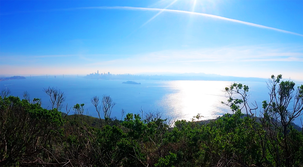
The views from the top of Mount Livermore on Angel Island State Park of the San Francisco Bay are incredible on a clear day. You can see the San Francisco Skyline, the East Bay, the Golden Gate Bridge and the hills of Marin County and much more.
We did this hike in December, and almost from the beginning when we got to the visitor center, we climbed on the Sunset Trail to the top of Mount Livermore. The toughest part of the hike is not part of the trail, but rather a paved service road to the trail, where the grade gets steep.
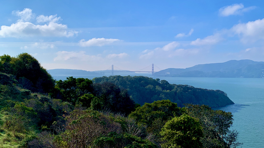
Once you get to the trail, the hike continues to climb, but the 2.5 mile march to the top is pretty. There are lookout points to the west where you can see over to Tiburon and down to Ayala Cove where we came in on the ferry. As you climb under canopy, you will come to points where you look out to the Golden Gate Bridge, and you will eventually see the San Francisco Skyline to the south with Alcatraz Island in the foreground. Once you emerge on the side of the island that faces south, the canopy seems to mostly disappear, so you will hike exposed for a little more than a mile to the top of Mount Livermore. You will come to a junction where the trail will take you back down, or you can veer left and head up to the top of Mount Livermore.
At the top, you will have a 360 degree view of the San Francisco Bay. There is also a picnic table at the top where you sit and maybe enjoy some lunch and the views before heading back down.
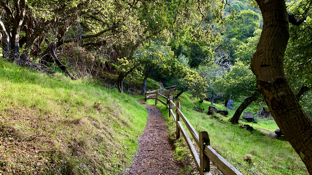
Once we headed down we came to the junction, and we hiked on down the North Rim Trail under canopy taking in views between the trees as we hiked down. We came to Perimeter Road and crossed it and continued on down the trail.
Had we known the trail took us over jarring steps for 340 feet, we would have followed Perimeter Road back to the docks. That sounds like a short distance, but the steps can take a toll. When the steps ended, there was a opening with picnic tables and a view across the straight to Tiburon, and then we continued down the trail to the docks and waited for the ferry back.
Directions: You will have to drive to Tiburon and find public parking. There are several public lots near the ferry terminal. There are different parking lots in Tiburon that charge different fees. If you go to https://angelislandferry.com/parking-information/, there is a map of where you can park.
The Skinny
Trail: Sunset Trail to North Ridge Trail
Trailhead Coordinates: 37.864890, -122.432680
Trailhead Elevation: 199 Feet
Distance: 4.9 Miles
Level of Difficulty: 🟢
Average Grade: 5.3%
Steepest Grade: 13.6% Over .1 Miles
Ascension: 1332 Feet
Trail Condition: 🟢🟢🟢🟢
Scenery: 🟢🟢🟢
Nearest Town: Tiburon
Traffic: 🥾🥾 (When We Were There)
Highlights: The Views
Best Time: Spring, Summer, Fall, Winter
Wildlife Concerns: None
Cell Service: 📱📱📱 (AT&T)
Would I Do This Hike Again?: Yes
Parking: Public Parking – Fees Depend On The Lot; Ferry Tickets to Angel Island $15 At The Time Of This Writing – Includes Park Entrance Fee
Restrooms: Where The Ferry Docks