Hiking Redbud Trail to Baton Flat

The Redbud Trail meanders through the oak laden hillsides of the Cache Creek Natural Area.

Originally posted June 8, 2018
Updated April 30, 2023

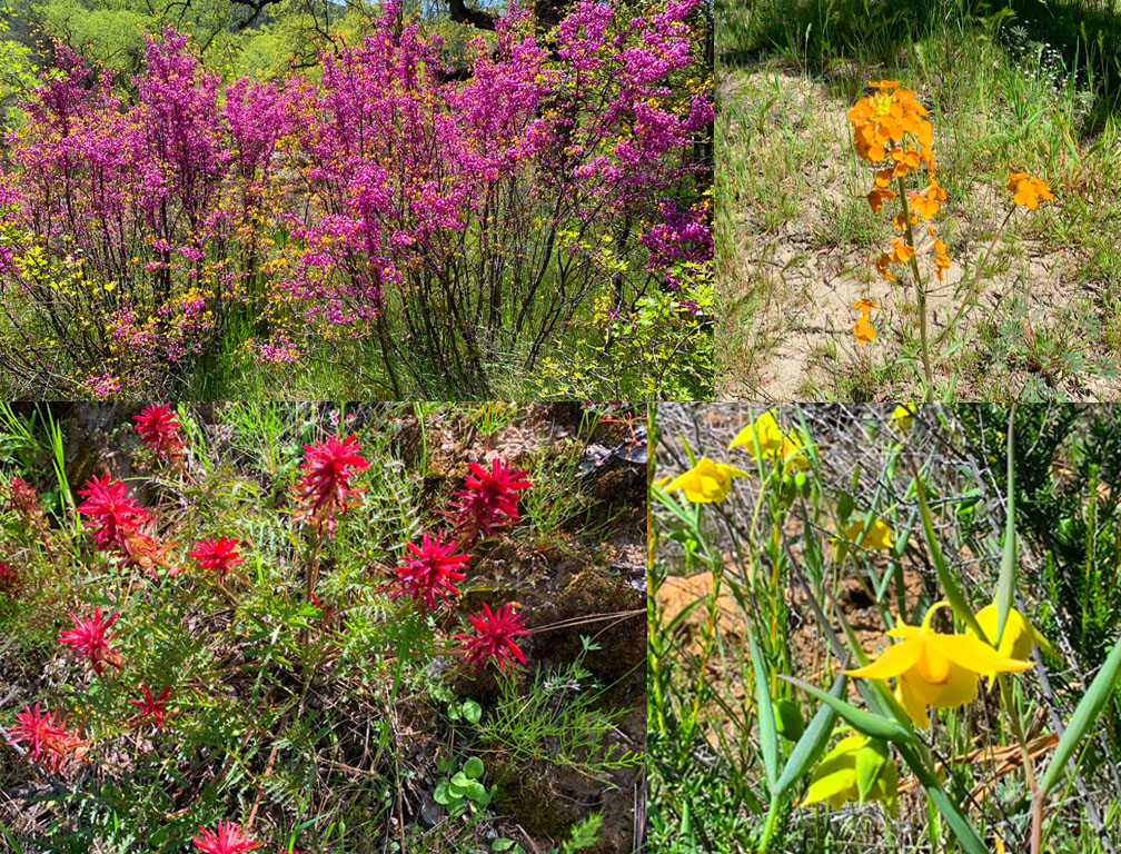
We hiked Redbud Trail in April 2023 after the California’s massive rainstorms earlier in the winter and spring.  What resulted were superblooms in locations. For as often as I have hiked the Redbud Trail, I have never seen the wildflowers on the trail I saw in late April. The wildflowers included Indian Paintbrush, Warrior Paintbrush, Common Fiddlestick, Western Wallflower, Diogene’s Lantern, and many other colorful wildflowers.

Hiking the Redbud Trail as it meanders along hillsides next to oak trees and descends down to Baton Flat and  Cache Creek is a pleasant hike through the foothills.

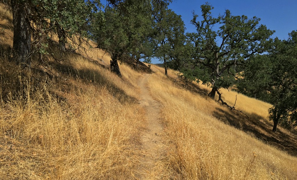
The trail starts off out of the parking lot on a service road and then to the right you’ll see a sign with Redbud Trail marked on it. Take the trail away from the road and hike along the edge of the foothills until you come to a creek bed that you have to cross. Continue reading “Hiking Redbud Trail to Baton Flat”

Trash in the Snow Mountain Wilderness in the Mendocino National Forest

Trash left behind by backpackers and hikers in the Snow Mountain Wilderness.

We went backpacking at Snow Mountain in late March, but this is not a trail summary. It’s more of a gripe similar to what I wrote in 2019 about garbage people left behind near the Fleming Trail System in the Eldorado National Forest.

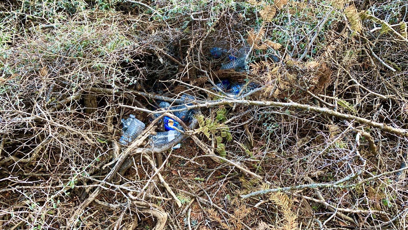
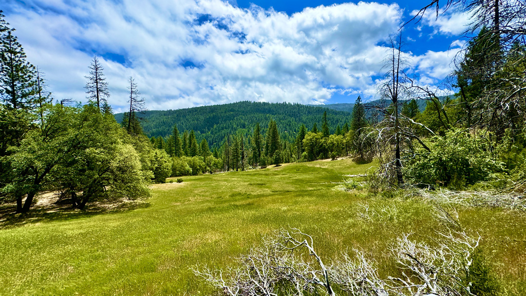
Continue reading “Trash in the Snow Mountain Wilderness in the Mendocino National Forest”

Blue Ridge Loop Revisited

The vegetation at the Stebbins Cold Canyon Reserve was decimated in the 2020 LNU Lightning Fire Complex.

I haven’t been on the Blue Ridge Loop at the Stebbins Cold Canyon Reserve in a couple of years, and I wanted to check it out again, so I hiked it last weekend. In 2020, in the LNU Lightning Complex fires, the entire area was ravaged, and where there was once some canopy, now there is none. In hiking the whole area, you are exposed on all the trails around. The day I hiked it, the temperature was in the low 60s when we started, and it was just plain hot because there was little wind and no shading.

Continue reading “Blue Ridge Loop Revisited”

Hiking Snow Mountain East Peak

The view from Snow Mountain East Peak into the Sacramento Valley.

As when I wrote about my hike to the West Peak of Snow Mountain, the same two words apply: “peaceful desolation,” but the scenery has drastically changed since 2018 when I was there last.

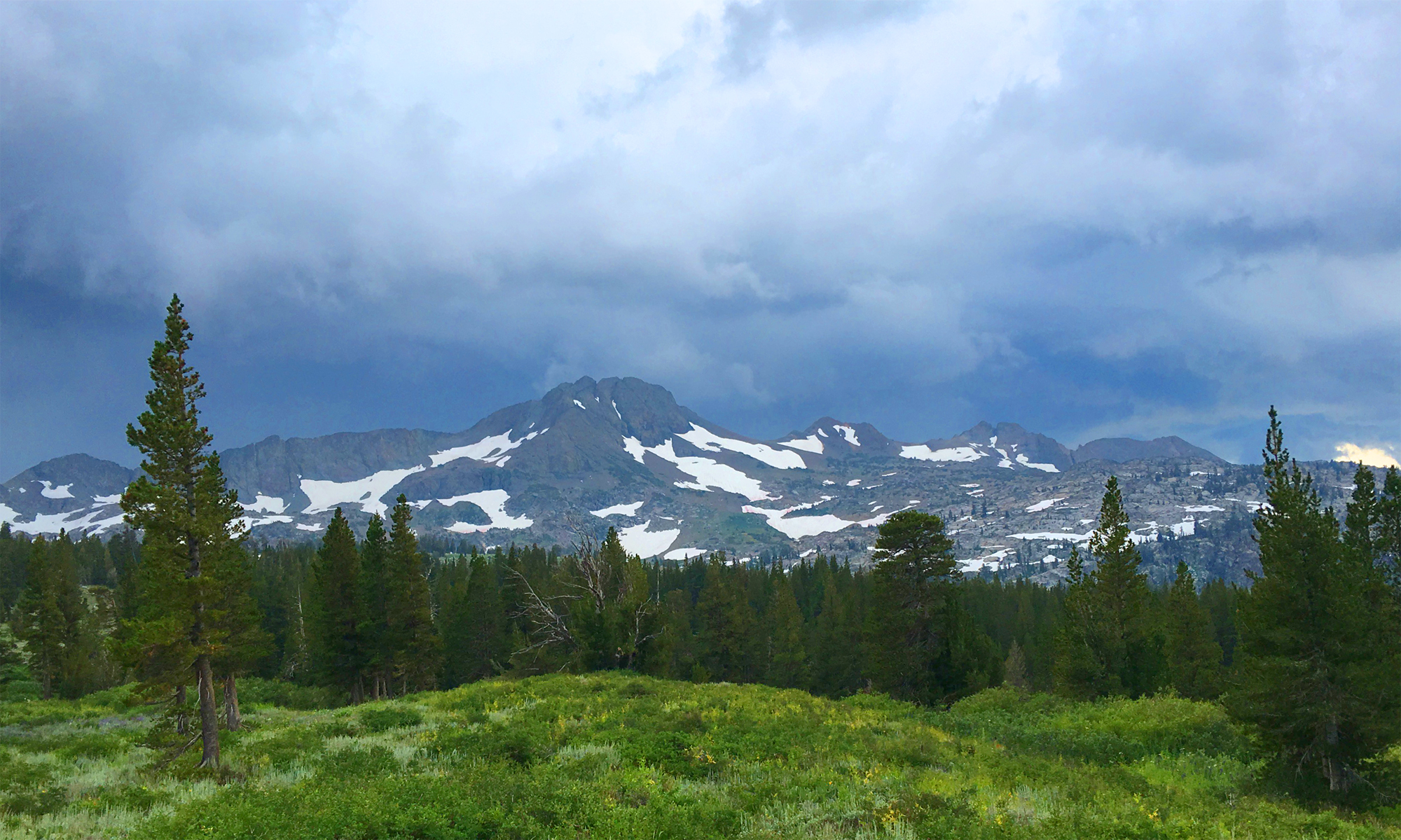
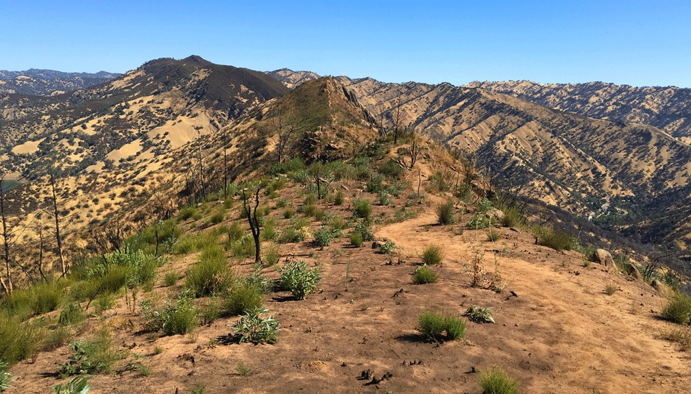
A little less than a month after I hiked to the West Peak, the Ranch Fire broke out, and the area was closed for nearly two years for restoration. Then it was opened it up, but then the August Fire broke out in 2020, and the forest closed back down for a few months.

Continue reading “Hiking Snow Mountain East Peak”

Hiking Snow Mountain West Peak

The Sutter Buttes, the Sacramento Valley and the Sierra Nevadas can be seen in the distance from Snow Mountain.

Note: This portion of the forest was severely burned in 2018 shortly after I hiked it, and most the trees are now burned out. See my Snow Mountain East Peak summary for an update.

Peaceful desolation. That’s what the hike up Snow Mountain in the Snow Mountain Wilderness is. The trails are defined, the wildflowers are in bloom in the summer and people are scarce. The trails in this Northern California area are a hidden gem, as they are under-hiked and seemingly unknown to most.

Though not recommended to hike in the summer as the heat can be brutal, I happened to catch the mountain on an unseasonably cool July day with overcast and a smattering of rain. The wildflowers were in bloom from red to purple, yellow, blue and orange. The hike starts out exposed and meanders for a little more than a mile before you start to get under the cover of the tall pine trees as you climb.

Continue reading “Hiking Snow Mountain West Peak”

Hiking Blue Ridge Trail to Fiske Peak

The view from the Blue Ridge Trail is sweeping as it looks into the Mendocino National Forest in the distance with Cache Creek in the foreground.

I love this hike! Hiking the Blue Ridge Trail to Fiske Peak in Northern California starts with a mild climb through an oak forest. It’s the only canopy you’ll be under during the hike. As the trail meanders up the open hillside, you’ll hike into a clear view of Glascock Mountain across the highway. Once you get to this point, the real ascension quickly begins. Continue reading “Hiking Blue Ridge Trail to Fiske Peak”

Hiking Valley Vista Trail

The view from Valley Vista Trail overlooks a northern portion of Capay Valley with Cache Creek running below it.

The hike up to Valley Vista Trail can be heart pounding in areas and seemingly level in others while you ascend the entire time. On a clear day while hiking, you can see the Sutter Buttes, portions of the north end of Capay Valley, the Sacramento Valley and the Sierras way out to the east. Continue reading “Hiking Valley Vista Trail”

Hiking Annie’s Trail

The view from Annie's Rock is incredible in the spring when everything is green. On a clear day, Mt. Konocti and Snow Mountain can be seen.
The view from Annie’s Rock is incredible in the spring when everything is green. On a clear day, Mt. Konocti and Snow Mountain can be seen.

Hiking to the Annie’s Trail trailhead can be a feat within itself, as you have to hike the Homestead Trail and climb many steps up a 19 percent grade over 400 feet to get to it. By the time you reach the trailhead, you’ve already hiked about two miles overall. Once you’ve made it this far, you’ll find yourself at a junction. To take Annie’s Trail, hike straight ahead and follow the trail south along an ascending path. You’ll do some ducking under limbs, but it’s not bad. Continue reading “Hiking Annie’s Trail”

Stebbins Cold Canyon Loop Hike

The Blue Ridge Trail offers sweeping views of the foothills and surrounding area from about 1600 feet.

Exploring the Stebbins Cold Canyon Loop, (also called the Homestead-Blue Ridge Loop or the Homestead Blue Ridge Trail), starts off easy as you hike through the canyon, but it becomes a workout as you ascend to the great views of Lake Berryessa. I have hiked this trail more times than I can count, and I will continue to hike it. I love it for its views and its challenge.

The way to the trail starts off from the parking lot is where you hike under Highway 128 by going through a drainage tunnel that runs under it. Continue reading “Stebbins Cold Canyon Loop Hike”