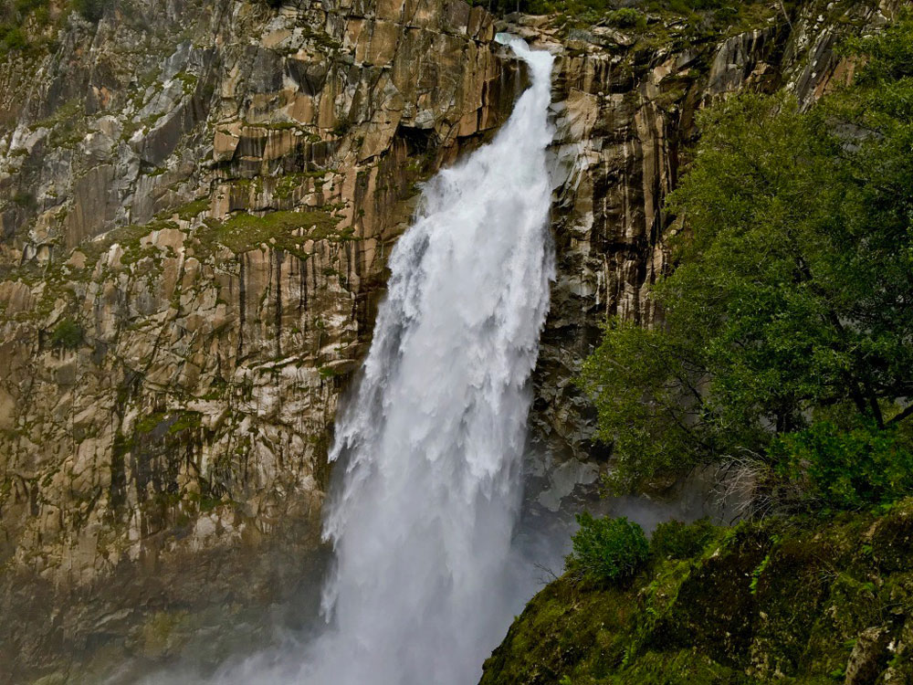
How can you be a hiker in Northern California and not hike to Feather Falls? The falls are an awesome to sight to behold, and the hike isn’t so bad either – depending on when you go and the condition of the trail. At about .4 miles from the trailhead, you’ll have decision to make when you come to fork.
If you want to make a loop out of this hike, it might be best to go to the left, as the trail will head downhill. Coming back up this way could be strenuous. If you do decide to come back up this way, there are a series of benches along the trail for resting. This way is shorter taking about 3.3 miles to get to the overlook.
However, when I took this trail in February 2017, I experienced three spots where the trail was washed out but was able to navigate. At one washed out spot, hikers before made a path going up on the side of a hill and going around it, as it was impassable on the trail. Over another washed out spot, moving water overran the trail for about 20 yards. It was swiftly moving and had to be navigated with caution. The third washed out area, about 2.2 miles in, was where the middle of the trail collapsed. Hiking it uphill placed me about waist deep in a shallow chasm-like area before I climbed out on the undamaged trail.
In all, if you’re going with kids to the falls, I would not recommend going this way until the trail is repaired. There should have been warning signs about the trail conditions at or near where the trail forked.
Once you’ve gotten past this point, it’s only about a mile to the overview. On your way to the falls, you’ll hike past a fork in the trail on your right, but walk past it. You’ll come back to it later.
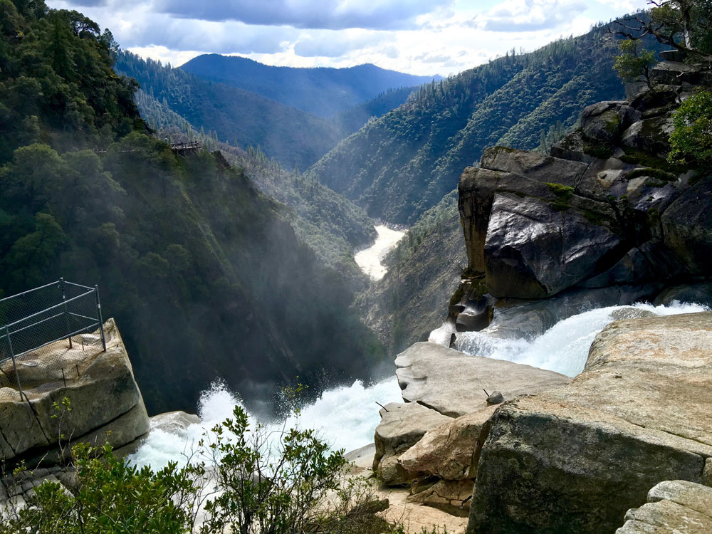
You’ll come to a vista where you can admire the mountains and canyon below, and then the trail takes you to the overlook. The ground is a little uneven in places and then down steps. Along the way to the viewing platform, take in the view of the falls and the surrounding scenery, and then at the viewing area, just sit and marvel at it.
When you’re ready to leave, make your way back to the trail, and there you have a choice to make. You can head back, or you can follow the trail further around to the falls. Just follow the trail, and you’ll come to a fork which is not easy to see, so the coordinates are right around 39.643625, -121.274067. A not so well defined trail goes down to the rocks near the falls. Use common sense and don’t go near the water. If you go in, you go over and you die.
Once you decide to leave, head back past the fork to the viewing area and then back to the fork to the way you came. You can also go left for about four miles to the parking area. While this way is longer, it’s much easier as far as levelness goes with only a 3 percent overall grade vs. a 4.5 percent grade for three miles the other way.
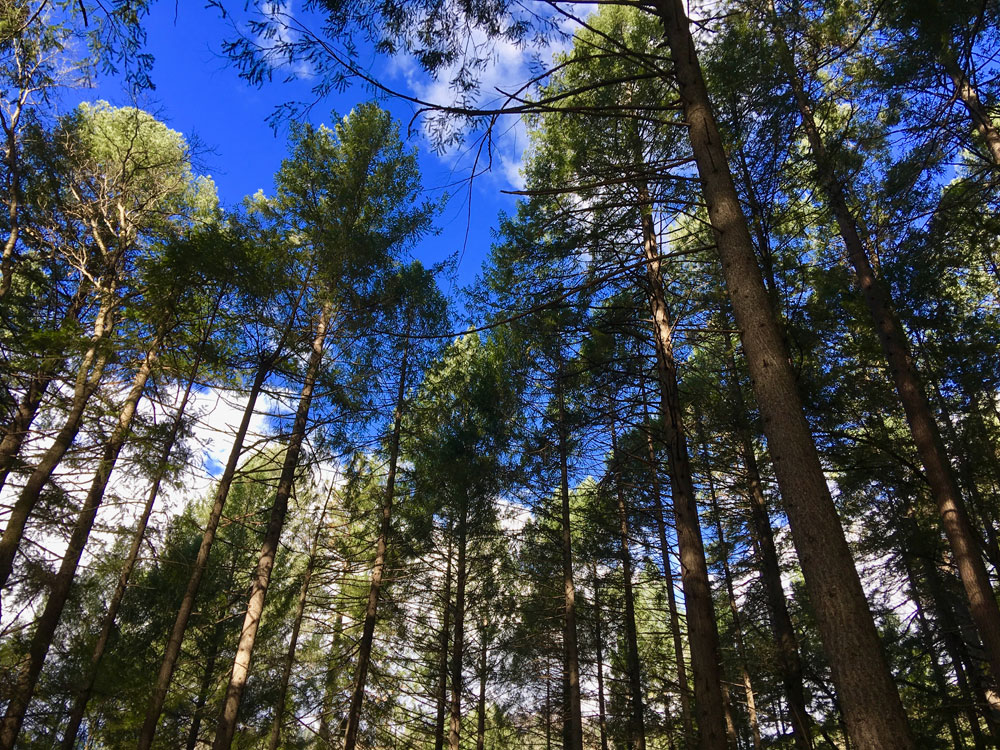
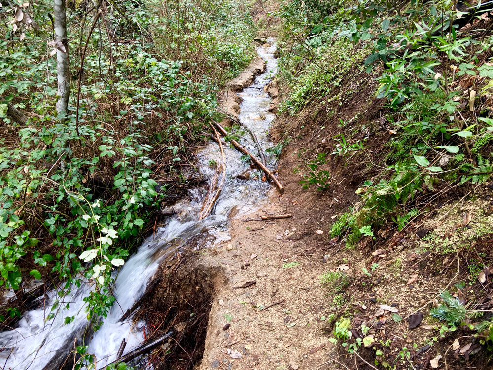
Along the way, you will hike through deeply forested trees. Depending on the time year, the rapidly flowing Fry Creek could also be a spectacular sight to see.
Update: I re-hiked this trail again in June 2019, and the lower trail was still in need of repair. In addition, there were numerous trees down over the trail I had to climb over on the long easier way back. For as popular this trail is, and it is popular, it’s not maintained as well as it should be.
Update 2: I went back in early July 2019, and the lower trail was closed due to maintenance work. Hopefully it is being repaired.
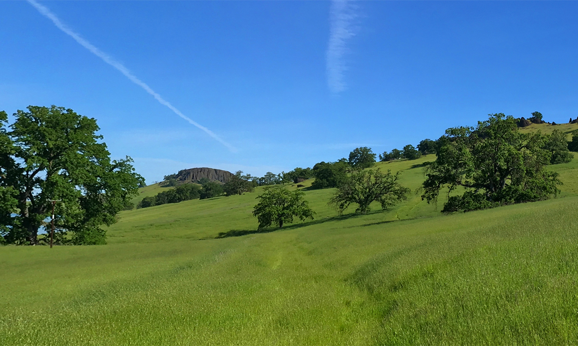
Directions: From Oroville, take Highway 162 East to Forbestown Road and turn onto Lumpkin Road. Turn onto Bryant Ravine Road and follow it to the trailhead parking lot. Toward the end as you drive further into the mountains, the road becomes more narrow, and you may feel you’re heading into nowhere after awhile, but you will arrive.
The Skinny:
Trail: Feather Falls
Trailhead Coordinates: 39.614375, -121.266623
Level of Difficulty: 🟡 or 🔴 depending on how you go
Scenery: 🟢🟢🟢🟢
Nearest Town: Oroville
Distance: 8.3 Miles – Lollipop
Ascension: 1830 Feet
Average Grade: 2%
Steepest Grade: 12% over .7 miles
Trail Condition: ⚫️ (see above)
Challenges: Hot summers, Trail maintenance issues
Trail Traffic: 🥾 to 🥾🥾
Highlights: Feather Falls
Best Time: Spring, Fall
Hazards: Some scrambling over rocks; temperatures higher than 90 degrees Fahrenheit; falling over the waterfall
Wildlife Concerns: Mountain Lions, Bears, Rattlesnakes
Parking: Free
Restrooms: Vault toilets in the parking lot