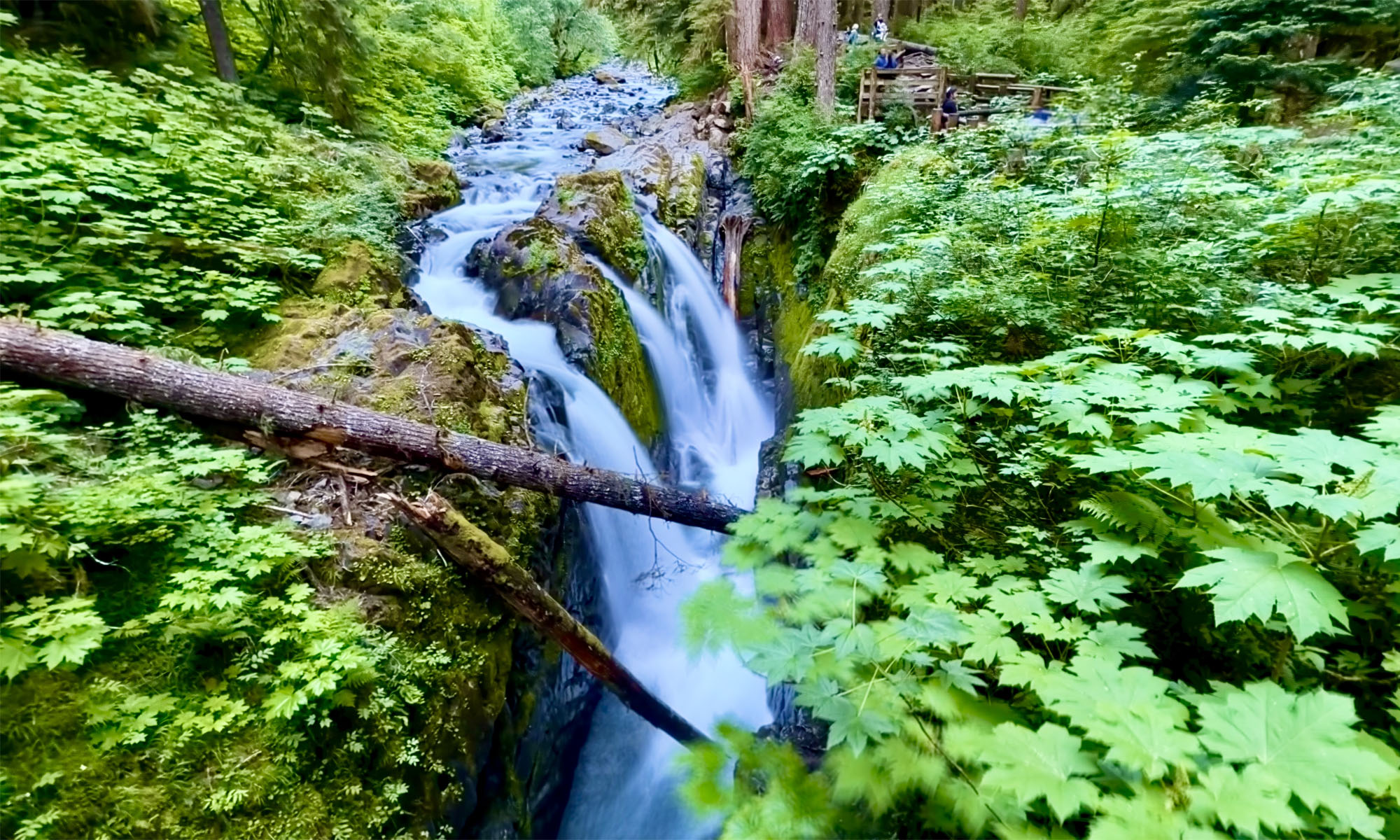
Jack London State Historic Park is becoming one of my favorite places to hike. It has redwoods, oak forests, foothills, ridges and very scenic views. The hike up Mountain Trail to High Point is worth the effort and is spectacular.
The hike starts off on the Lake Trail to London Lake from the Upper Parking Lot. As you begin, you hike past a picnic area, winery ruins and the distillery and turn and hike past a vineyard. Follow Mountain Trail which is a service road next to the wooded area. We stayed on Mountain Road as we passed an intersection where another trail leads to London Lake.
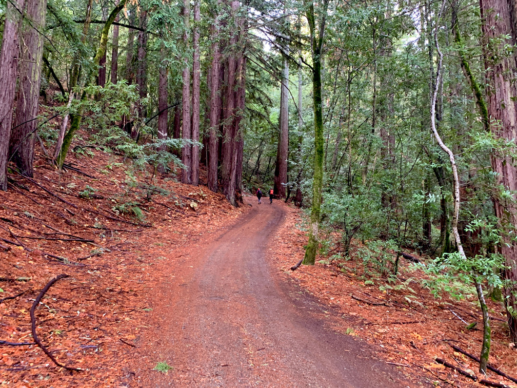
The trail starts to climb through the redwoods as you head to London Lake, and it continues past a picnic area and a holding wall for the lake and turns right as you continue to climb. Follow the road to May’s Clearing.
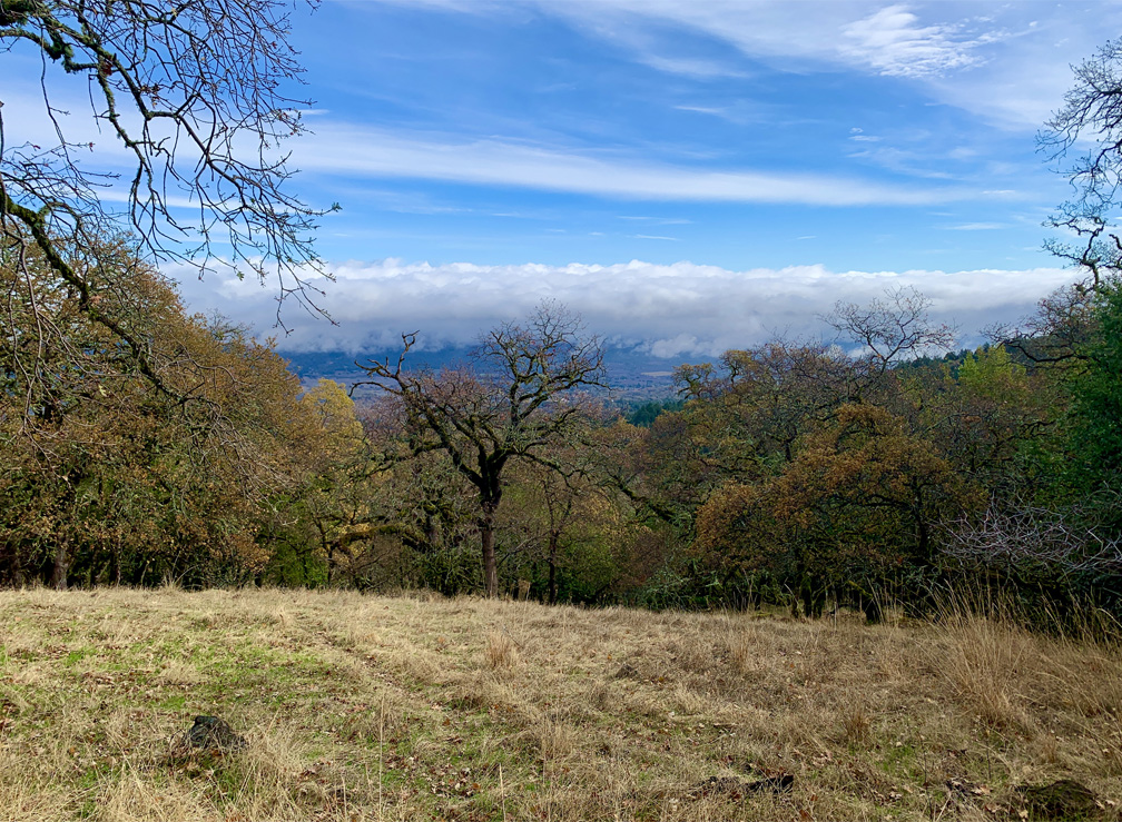
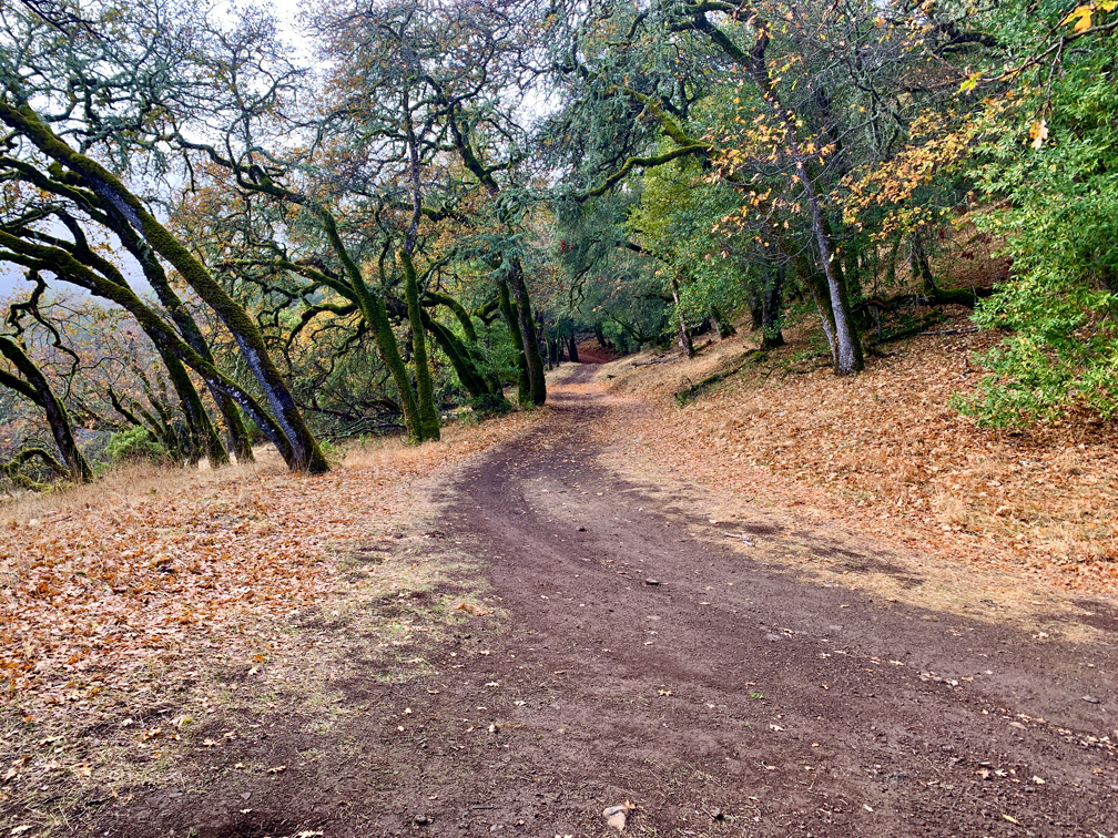
At May’s Clearing, on a clear day, you can stand on a bench and look to the south and see the water in the San Pablo Bay. Gaze out at the view and then continue on as you climb up through the forest. Along the way, you’ll come to Deer Camp, where a couple of picnic tables sit before you emerge from the redwoods and head into a small clearing and then into an oak forest.
As you head out of the clearing, you’ll come to a junction where Mountain Trail continues to the left while the Cowan Meadow Trail is on the right. Stay on Mountain Trail and continue to climb.
The toughest part of the Mountain Trail is in front of you, and the grade is 22 percent over .1 miles. Once you get to the top of the leg, there’s a bench to stop and sit on where you can look out over the valley. As you continue on, the trail is much more manageable, and you’ll come to an intersection.
Turn to the left to stay on Mountain Trail, while the other trail to the left is Hayfields Trail. Also going straight up the hill in front of you is a trail, but hold off on that. We’ll come back to it.
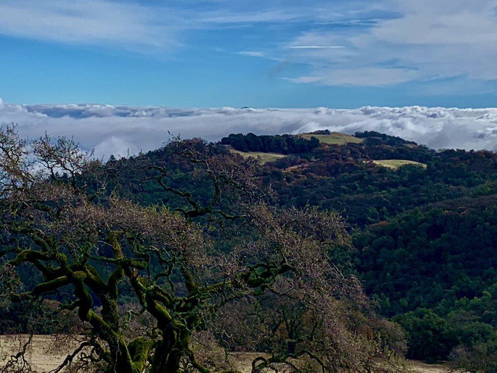
Continue to follow the trail, and you’ll come to an intersection where the it goes on (but not far), and you’ll take a side trail to headed up to the park summit. The views are incredible. On a clear day, you can see Mount Diablo 60 miles to the south. You can see Mount St. Helena not far away to the north, and you can look down into the Sonoma Valley. Take a seat at the bench at the high point and take it in. The views are spectacular.
As you head down, you can either go back the way you came, or you can head east. This little trail will take you down a steep hill back to where Mountain Trail and Hayfields Trail intersect. This time, follow Hayfields Trail and it will take you through oaks along the foothill service road. Follow it to the Cowan Meadow Trail, and hike it up and down through the hills for about .8 miles until you come to the Mountain Trail and take it back the way you came.
Directions: From Sonoma, head west on West Napa Street toward and turn right onto Highway 12. Follow Highway 12 about 6 miles and turn left onto Arnold Drive. After about a mile, turn right onto London Ranch Road to the kiosk. Parking is here: 38.356111, -122.544728
The Skinny
Trail: Mountain Trail to Cowan Meadow Trail
Trailhead Coordinates: 38.356320, -122.544960
Trailhead Elevation: 729 Feet
Distance: 7.8 Miles – Lollipop
Level of Difficulty: 🟡
Average Grade: 9.6%
Steepest Grade: 21% Over .1 Miles
Ascension: 2477 Feet
Trail Condition: 🟢🟢🟢🟢
Scenery: 🟢🟢🟢🟢
Nearest Town: Glen Ellen
Challenges: Steepness In Some Of The Areas
Traffic: 🥾🥾
Highlights: Redwoods, Oak Forests, Views
Best Time: Spring, Summer, Fall, Winter
Hazards: Temperatures over 90 degrees
Wildlife Concerns: Mountain Lions, Rattlesnakes
Cell Service: 📱📱📱 (AT&T)
Would I Do This Hike Again?: Absolutely
Parking: $10 at the time of this writing
Restrooms: Vault toilet in the parking lot