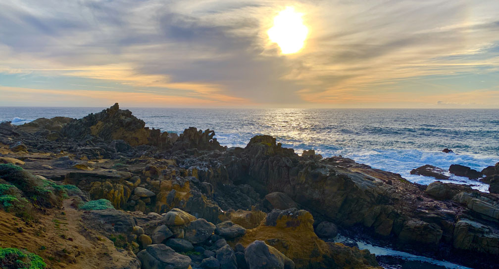
Hiking Salt Point State Park
The Hike Is The Destination
Continue reading “Hiking Upper Ritchey Canyon at Bothe-Napa Valley State Park”
Continue reading “Hiking Dipsea Trail To Muir Woods National Monument”
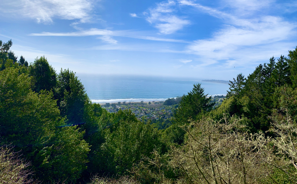
Continue reading “Hiking Steep Ravine/Matt Davis Loop at Mount Tamalpais State Park”
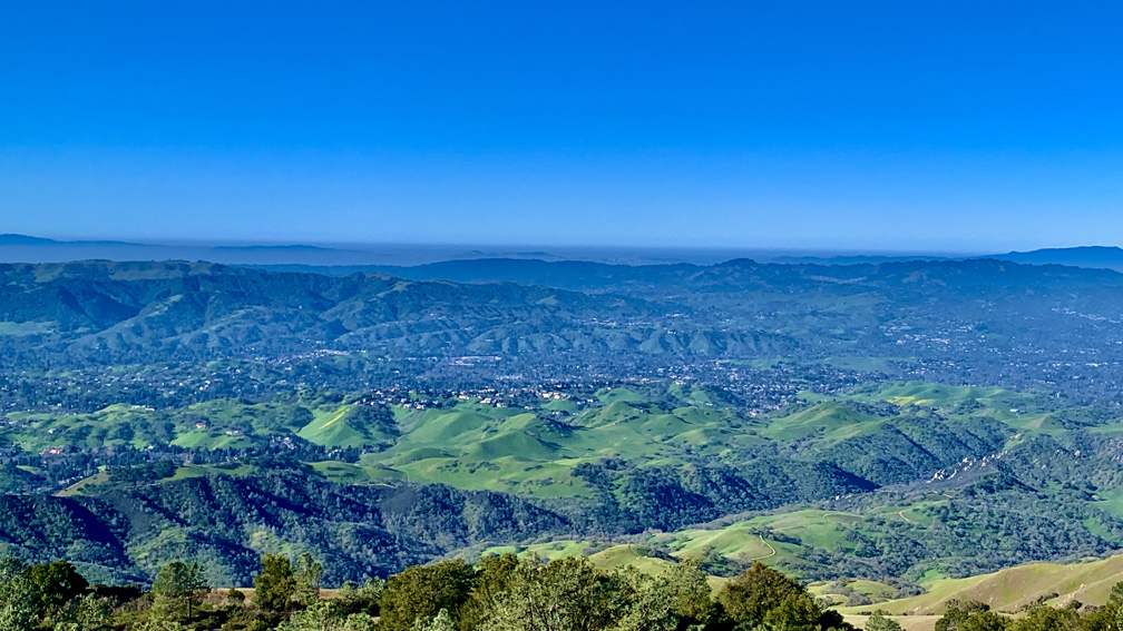
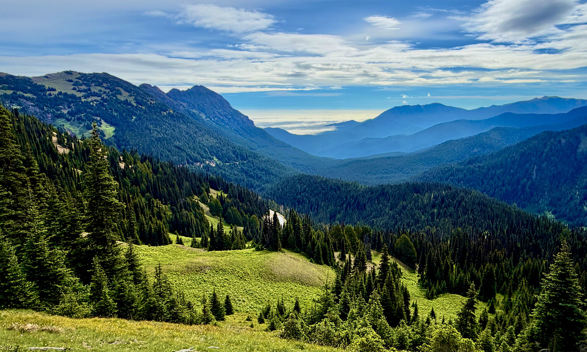
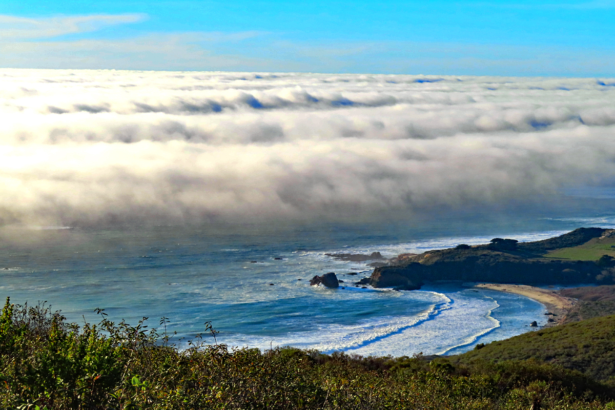
We hiked the trails that circled the top of Mount Diablo in February to see the hills when they were green and to avoid summer heat exhaustion and dehydration issues. The scenery was beautiful, and we could see into downtown San Francisco in the distance as we looked out from above the Juniper Campground on an offshoot trail.
Continue reading “Hiking the Grand Loop at Mount Diablo State Park”
The hike starts off on the Lake Trail to London Lake from the Upper Parking Lot. As you begin, you hike past a picnic area, winery ruins and the distillery and turn and hike past a vineyard. Follow Mountain Trail which is a service road next to the wooded area. We stayed on Mountain Road as we passed an intersection where another trail leads to the London Lake.
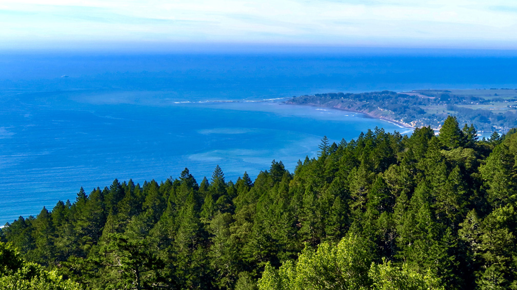
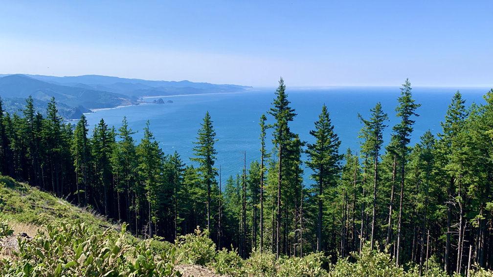
Continue reading “Hiking Humbug Mountain Trail on the Oregon Coast”
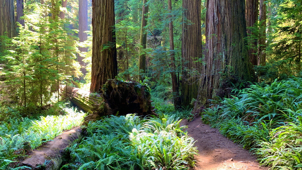
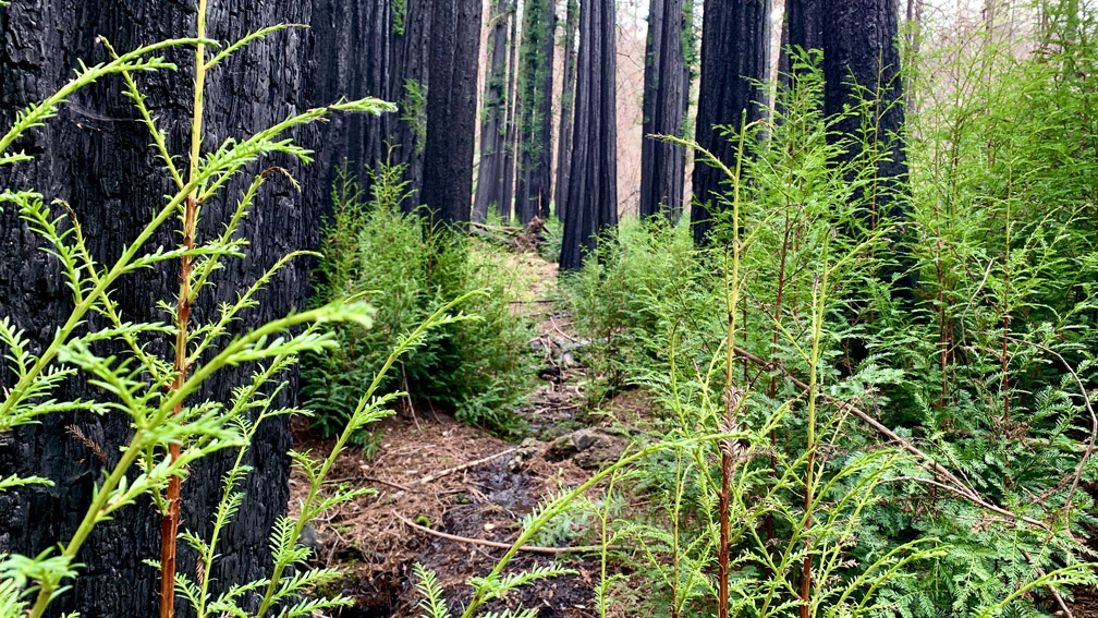
Continue reading “Hiking Boy Scout Trail in Jedediah Smith Redwoods State Park”
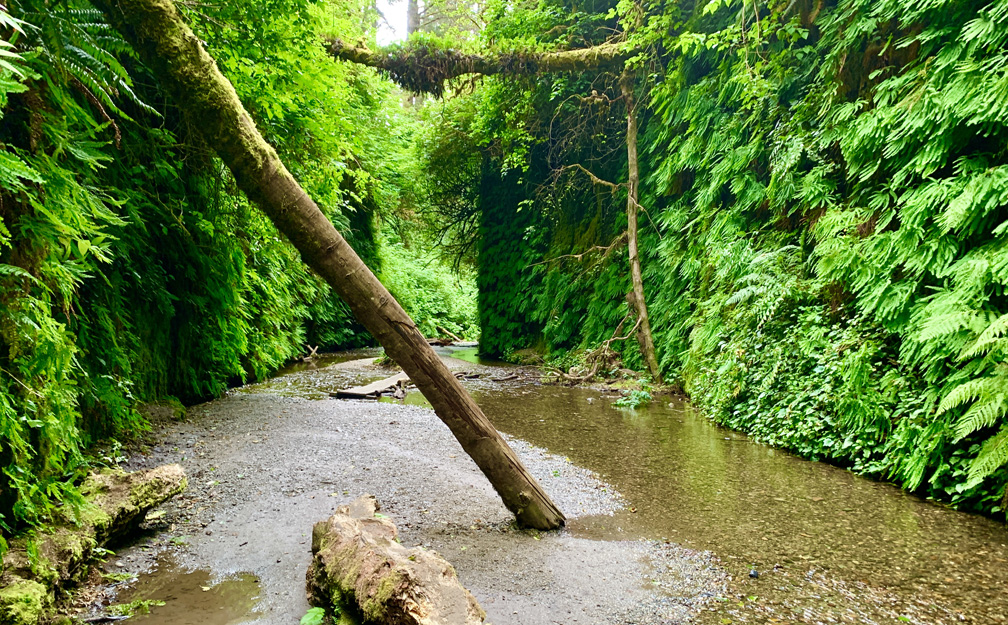
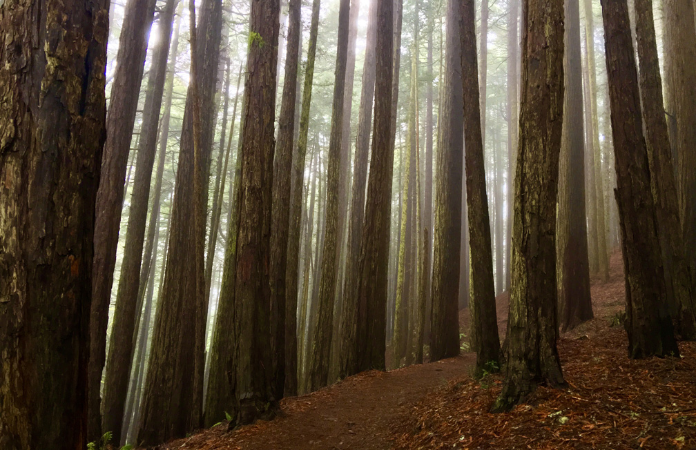
Continue reading “Hiking Fern Canyon/James Irvine Trail in Northern California”
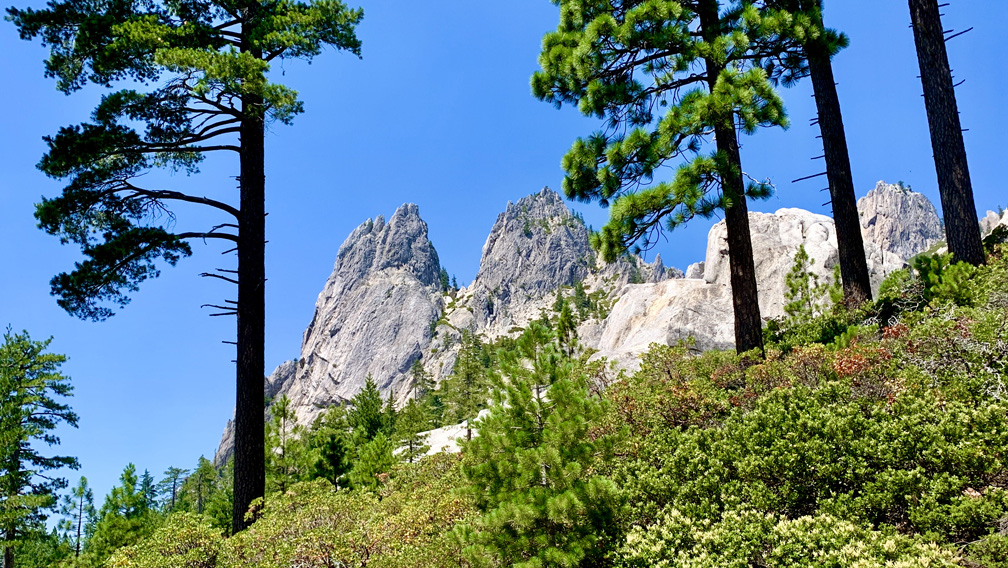
The hike starts off easy enough on the wide Root Creek Trail under forested canopy, but then you come to a junction about .3 miles in where you make a left turn, and then the climbing begins. Roughly after 500 feet, you will intersect with and cross over the Pacific Crest Trail.
Continue reading “Hiking Crags Trail to Castle Dome at Castle Crags State Park”
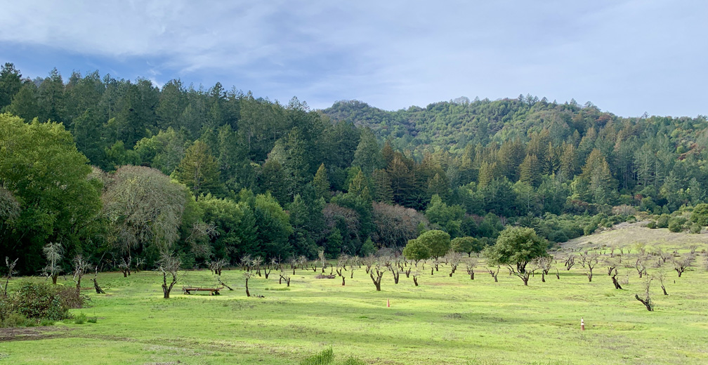
Continue reading “Hiking the Historic Orchard at Jack London State Historic Park”