This hike up Burma Road, the Burma Blast, at Mount Diablo State Park is a son of a b*tch. So a friend really wanted to this hike because it was labeled the “the toughest hike in the Bay Area.” I don’t know if it’s the toughest, but it was a challenge. And the views over the Bay Area, to the north, east and south were worth it.
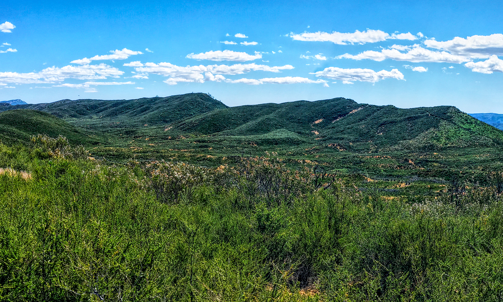
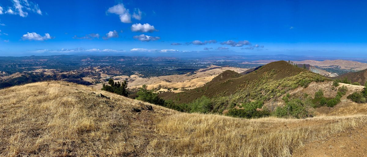
The trail starts off on a 22 percent grade for .4 miles before it dips and then climbs some more over a 14.1 percent grade for .3 miles up Burma Road, which is a service road. As you climb, take it in as you suck down air. We went in the Fall, and the hills were golden yellow, and while we were exposed on the trail, we looked out over the oaked scattered foothills and then an oak forest to the west as it covered the next ridge to the southwest.
You’ll come to a level spot on the climb for .2 miles, and then the hard climb begins. The rest of the hike is an ascension, and for the next .3 miles, you’ll scale a 28 percent grade on a single track trail. As you climb higher, stop and turn around and look around you. The view becomes more spectacular, and then look back over from where you came and what you’ve accomplished so far. You’ll hike under trees and past rock outcroppings and emerge next to a road where there’s also a water trough but not for drinking from. Actually, there were koi fish in it.
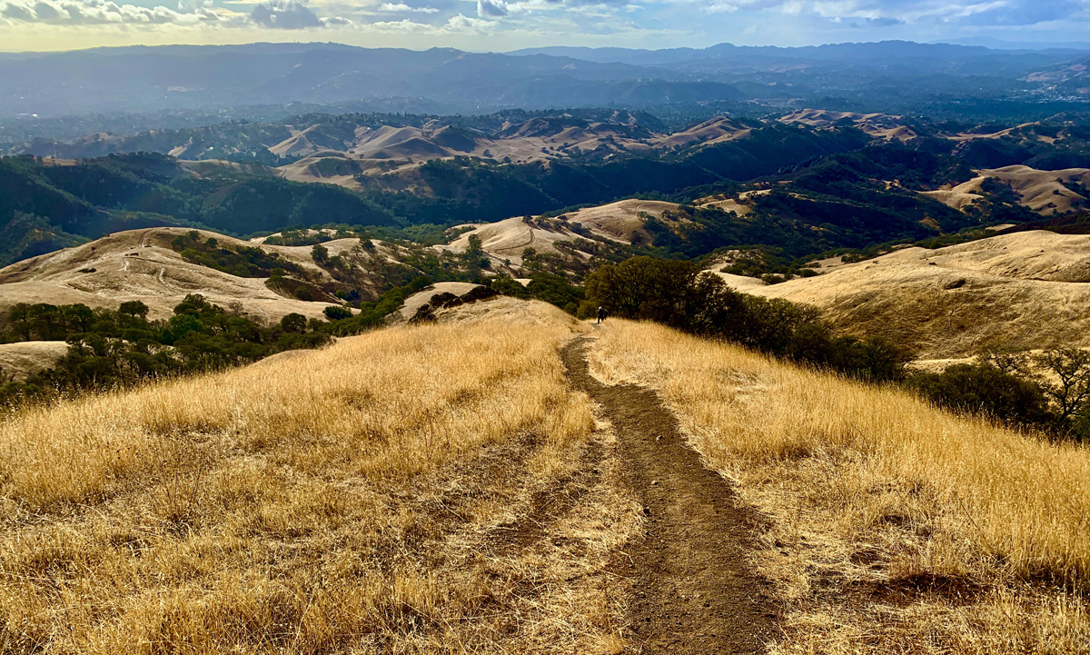
The next portion, over .6 miles, is on a 13 percent grade but on a dirt service road, and the next section is over a mild 2.6 percent grade for .3 miles. Take the views in to the north as the hike takes you that way before it loops around and heads toward Juniper Camp for the next 1.8 miles. The overall grade on the final stretch is 6 percent.
At the camp there are sites with picnic tables and restrooms. Enjoy a nice lunch and take in the shaded area. There is also a great overlook next to the camp here: 37.877988, -121.934483. You just can’t turn back until you’ve taken this view in.
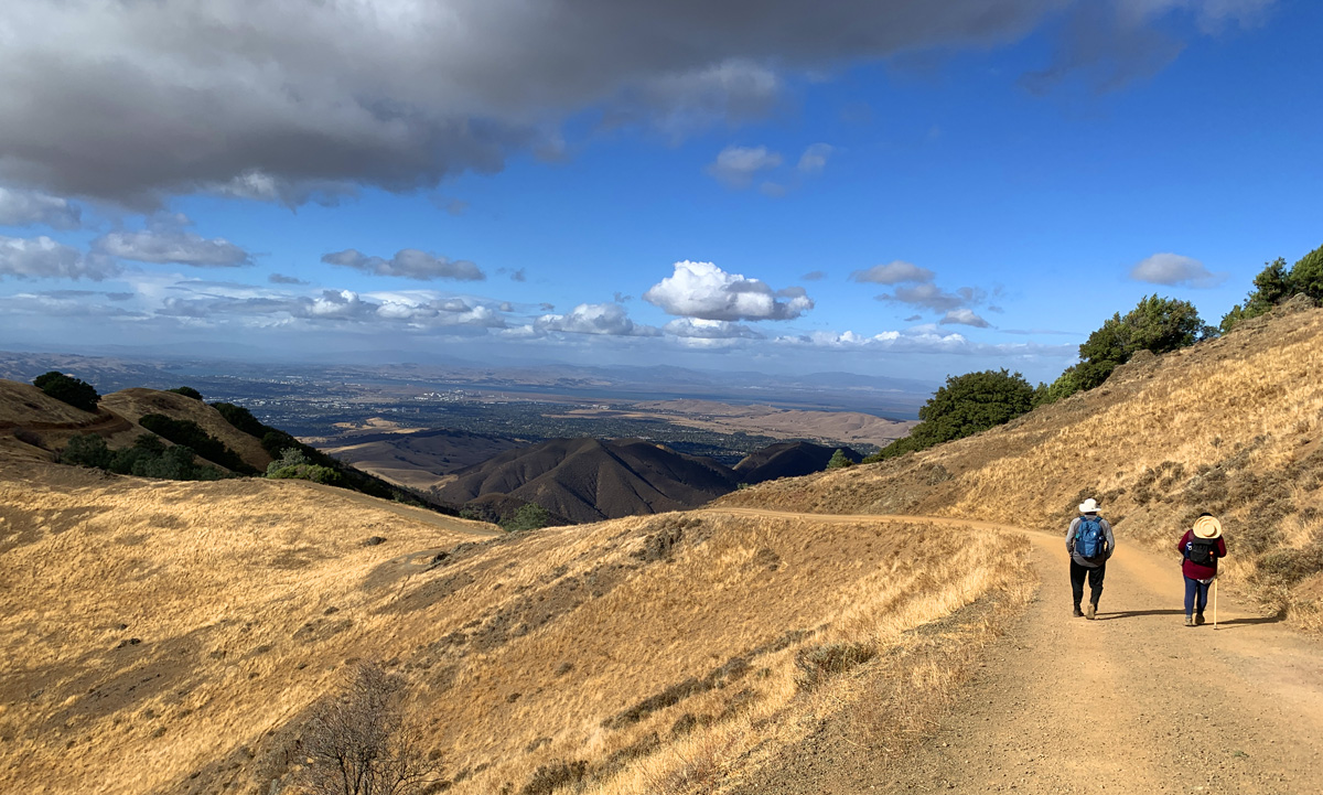
On our way back, we had to take our time once we got to the steep grades, and we used our trekking poles to help us stay up on our feet. A few of us lost our footing and took a spill or two, so be careful.
Directions: From Walnut Creek, head north on N. Main Street and turn on right on Parkside Drive. Travel to N. Civic Drive and turn right. Follow the road and turn left onto Ygnacio Valley Road and then proceed to Walnut Avenue and turn right. You will come a traffic circle – take the first exit onto Oak Grove Drive. Follow the road to N. Gate Road and turn left. Follow the road to the parking area: 37.876298, -121.962631.
The Skinny
Trail: Burma Blast
Trailhead Coordinates: 37.876091, -121.962529
Trailhead Elevation: 963 Feet
Distance: 5.9 Miles – Out And Back
Level of Difficulty: ⚫️
Average Grade: 13.7%
Steepest Grade: 28% Over .3 Miles
Ascension: 2168 Feet
Trail Condition: 🟢🟢🟢🟢
Scenery: 🟢🟢🟢
Nearest Town: Walnut Creek
Challenges: Long Ascension
Traffic: 🥾
Highlights: Sweeping Vistas All Around
Best Time: Fall, Spring
Hazards: Exposure, Loss Of Footing On Descents, Temperatures over 90 Degrees
Wildlife Concerns: Mountain Lions, Rattlesnakes
Cell Service: 📱📱 (AT&T)
Would I Do This Hike Again?: No
Parking: $10 At The Time Of This Writing
Restrooms: Restrooms At Juniper Camp