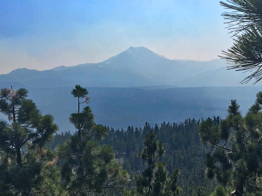
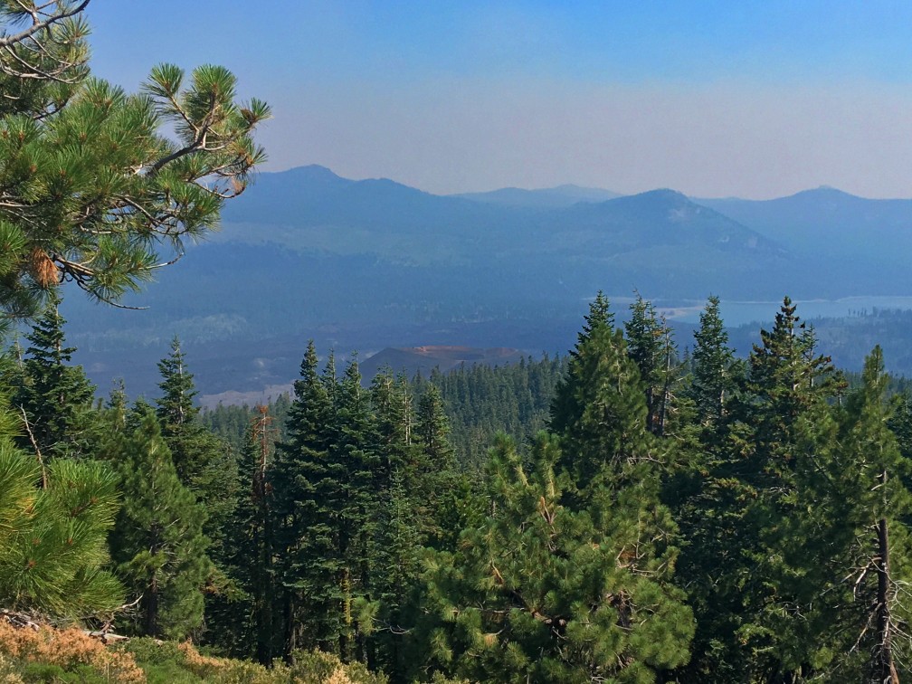
What makes the hike up to Prospect Peak in Lassen Volcanic National Park worth the effort are the views from the 8340-foot summit. First, I have to admit, the views would have been spectacular when I was there, but there were several wildfires burning at the time. The Carr Fire near Redding and the Whaleback Fire near Susanville along with others in the state made for very hazy views when the wind blew in the smoke.
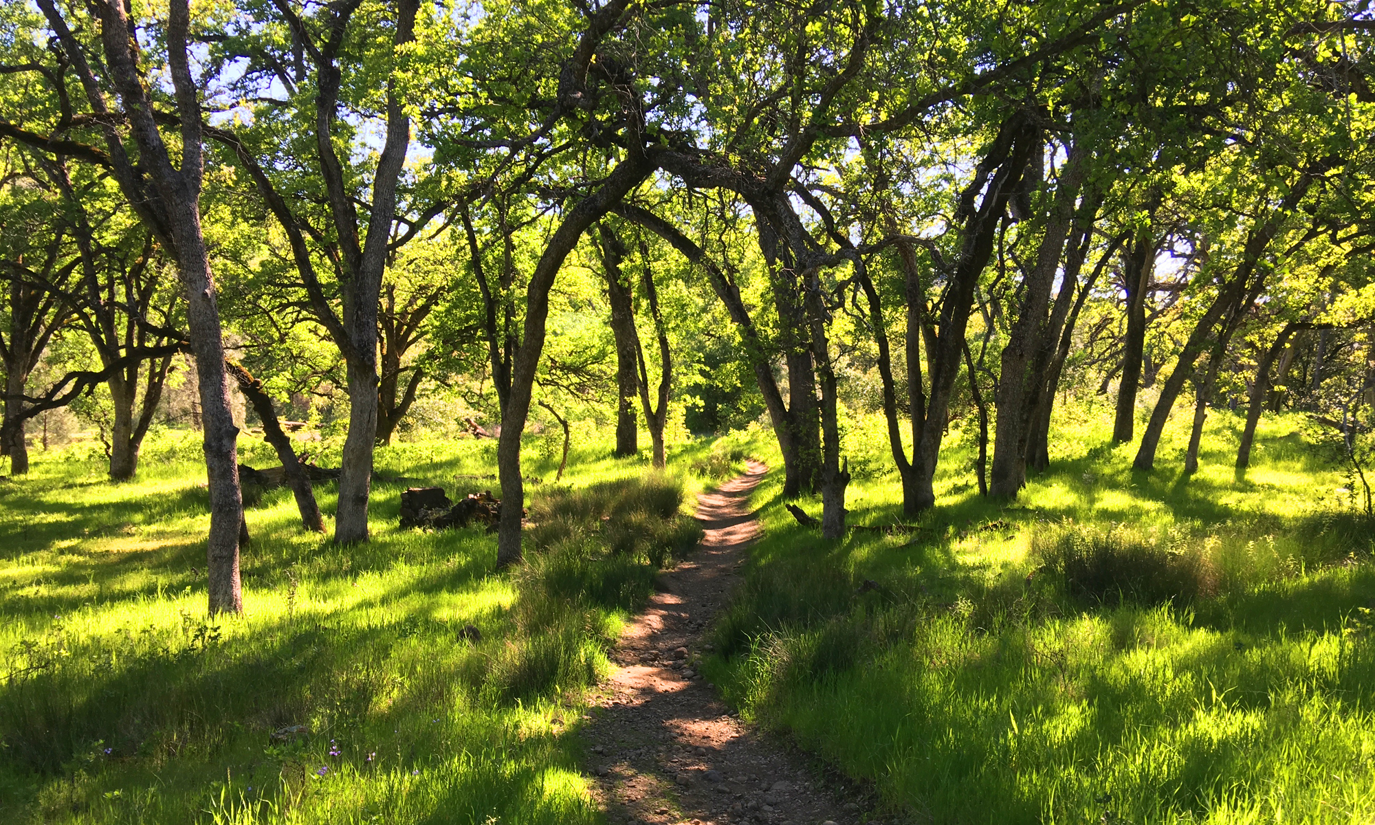
About four-tenths of a mile from the trailhead, you’ll have hiked to a fork, and you’ll want to take it to the right. If you proceed on, you’ll hike to Cinder Cone, which offers a fantastic view of the Painted Dunes. But going right and up to Prospect Peaks is a not so hiked trail that is a peaceful hike though the pines as you ascend more than 2,000 feet to the top.
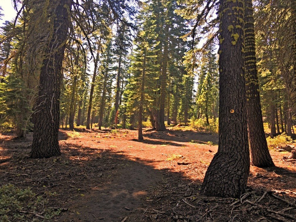
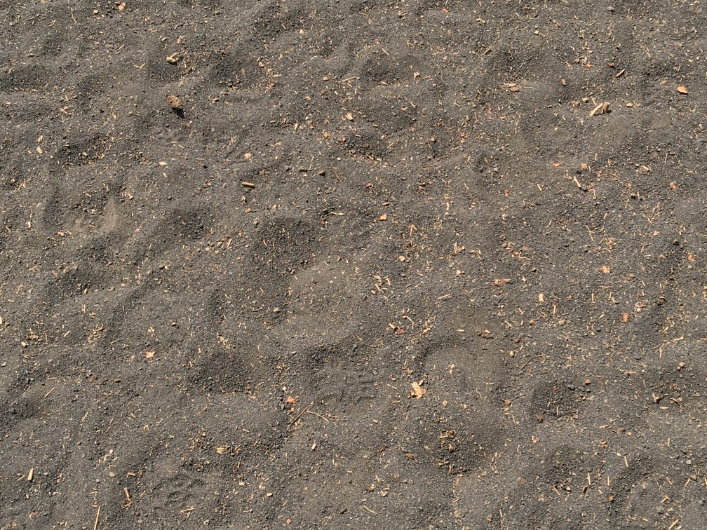
From the beginning of the trailhead, and in places on the way up, you will find yourself hiking in lava ash, which is like hiking in sand. It’s not bad, but it might slow you down a bit.
When I hiked the trail, I did not see a single hiker. Sometimes I would come to a stop as it looked like the trail could have gone in two directions. I looked for footprints, and I followed what I found.
One of the good things about this trial are that there are markers on some of the trees that help guide you, and they looked like they would light up at night if you had a flashlight or headlamp. However, there were points where the markers seemed a sparse. One thing you can do if you find yourself in this situation where you might be unsure of the trail, turn around and look behind you. You may see a marker on the trail guiding people going in the opposite direction.
At the top, the hike comes alive. I could see Mt. Lassen in the smokey distance, and I wished it would have been clear, but then I reminded myself the hike is the destination, not the end point. At certain spots, you can look down on Cinder Cone about 1000 feet below and you can also see smatterings of the Painted Dunes with the Fantastic Lava Beds right behind followed by Butte Lake.
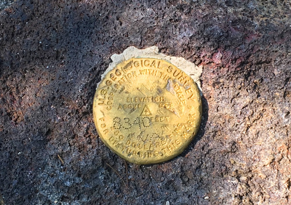
Spend as much time at the top as you like. If you hike the trail to the end, you will find the US Geological Survey marker at the peak, but you can follow the trail for a few more yards to an opening. From there, you can sit and look over the trees to the North West and look over to West Prospect Peak. Just sit and take it in. The top is the highlight of the trial.
When you finally decide to leave the peak, it’ll probably take you half the time to get down as it did climbing up.
I want to be clear, and you’ll see it below in the skinny: I would not do this hike again. The rewards are with the views at the peak. The climb can be a bit difficult if you don’t pace yourself. I’ve read other reviews where others have found the hike to the top to be “boring,” so this is something to keep in mind.
Directions: From California Highway 44, drive to the Butte Lake Road. Drive south on the gravel Butte Lake Road for approximately 6 miles to Butte Lake. There is a small parking lot next to Butte Lake and another by the trailhead.
The Skinny:
Trail: Prospect Peak Trail – Out and Back
Trailhead Coordinates: 40.563917, -121.302233
Trailhead Elevation: 6102 Feet
Distance: 8.2 Miles – Out and Back
Level of Difficulty: 🟡 (if you pace yourself)
Average Grade: 9.7%
Steepest Grade: 11.2% over 2.5 miles
Ascension: 2283 Feet
Trail Condition: 🟢🟢🟢
Scenery: 🟢🟢🟢 (at the top of Prospect Peak)
Nearest Town: Mineral
Challenges: Climbing
Traffic: 🥾
Highlights: Views of Mt. Lassen, Cinder Cone, The Pained Dunes, Fantastic Lava Beds
Best Time: Summer, Fall
Wildlife Concerns: Bears, Mountain Lions
Cell Service: 📱📱📱 At top of Prospect Peak (AT&T)
Would I Do This Hike Again?: No
Parking: $25 (at the time of this writing) National Park Fee – Good for 7 Days
Restrooms: In the parking lot