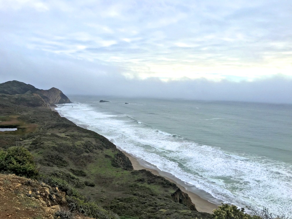
Hiking the Coast Trail from the Polomarin trailhead to Wildcamp Camp is like hiking Highway 1. It’s extraordinary with its views of the ocean on one side and forests on the other.
Most take this trail to hike to Alamere Falls, where the trail offshoot is at nearly four miles in. At the time I took this trail, the Alamere Falls cutoff was mostly overgrown and difficult to ascertain. It seemed like it wasn’t being well-maintained. Some say there is a sign there, but I did not see one when I hiked by, but someone made an arrow marker on the ground (not permanent) marking the intersection. Part of the overgrowth was poison oak, but nonetheless that doesn’t deter people from hiking to the falls. But if you go on, there’s more to see.
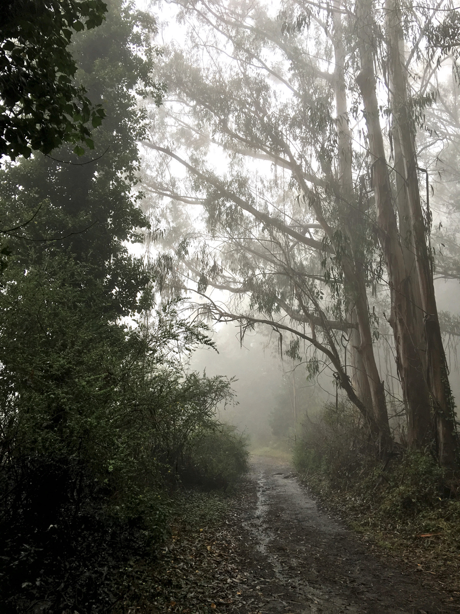
From the trailhead, you hike through a eucalyptus forest, and every time I’ve hiked this trail, it’s been muddy slick in places, so be prepared. The trail through the forest doesn’t last long, and soon you’re out hiking exposed to the sun and wind.
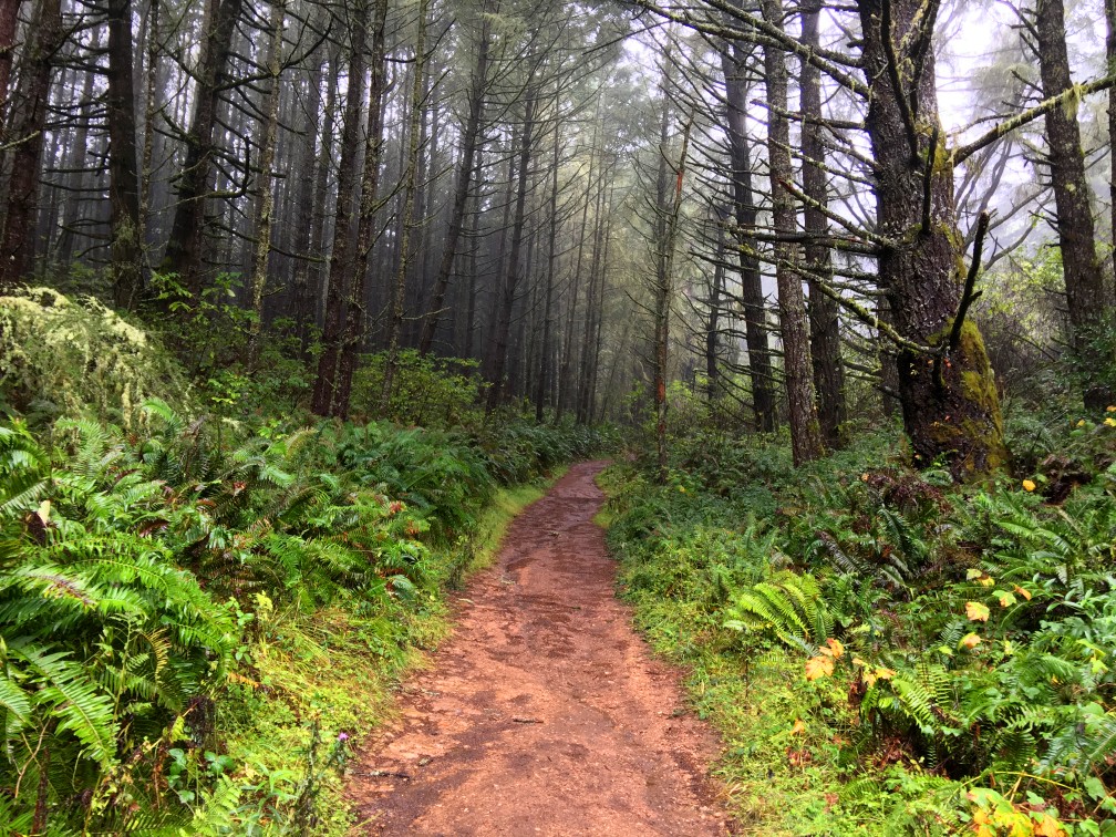
The trail turns and heads inland, turns upward and enters a forest of ferns and pine trees with oak trees. You will also hike past Bass and Pelican Lake and then the Alamere Falls cutoff. Continue north on the Coast Trail, and you’ll come to a fork about .6 miles further. Stay to the right; you’ll come back on the left.
The trail goes on another 1.1 miles through hills and forest, and it comes to another fork. Stay to the right and continue on for another .2 miles, where you come to Wildcat Camp. I made this my turnaround point, as the day started to get long.
On the hike back, take the fork to the left at .2 miles. This will take you, with a climb, into an exposed area next to Ocean Lake, and back up again to the first junction you passed after passing the Alamere Falls offshoot. This will put you back on the Coast Trail and take you to the trailhead. Enjoy the hike back. Take in the views of the ocean and the hike back through the eucalyptus forest.
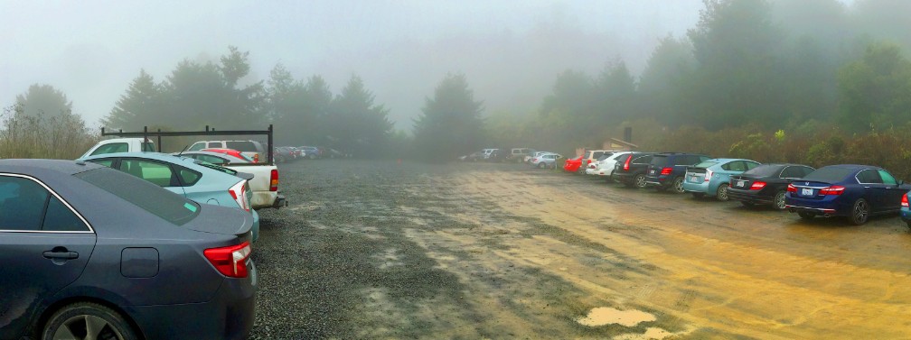
The Coast Trail can be very muddy at times, while other times you might have to dodge puddles of water if you don’t like walking through them.Directions: From the intersection of Olema Bolinas Road (37.912028, -122.690369), head west on Mesa Road. Follow it to the end, where the parking lot is, which is here: 37.934178, -122.747280
The Skinny
Trail: Polomarin Trailhead to Wildcat Camp
Trailhead Coordinates: 37.934138, -122.747170
Trailhead Elevation: 109 Feet
Distance: 11.2 Miles – Lollipop
Level of Difficulty: 🟡
Average Grade: .7%
Steepest Grade: 8.1% over .7 Miles
Ascension: 1930 Feet
Trail Condition: 🟢🟢🟢🟢
Scenery: 🟢🟢🟢
Nearest Town: Bolinas
Traffic: 🥾🥾
Highlights: Ocean vistas, Hiking through forests, Whales at the right time of year
Best Time: Fall, Winter (Heavy fog can roll in during the Spring and Summer)
Hazards: Exposure
Wildlife Concerns: Mountain Lions
Cell Service: 📵 (AT&T)
Would I Do This Hike Again?: Yes
Parking: Free
Restooms: Vault toilets in Parking Lot