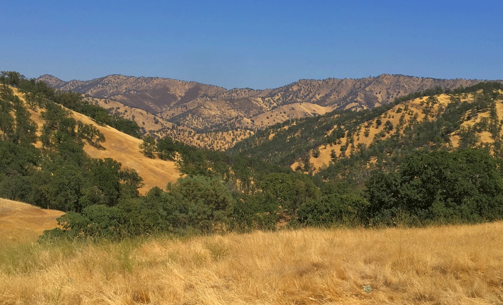
Hiking Redbud Trail to Baton Flat

The Redbud Trail meanders through the oak laden hillsides of the Cache Creek Natural Area.

Originally posted June 8, 2018
Updated April 30, 2023

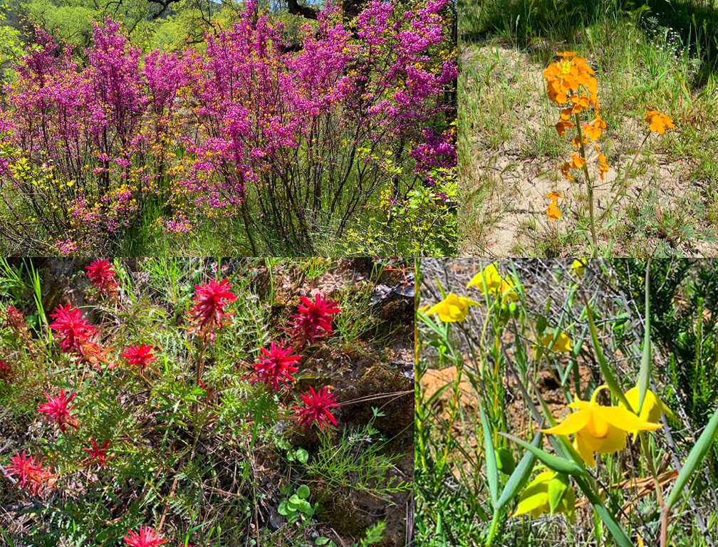
We hiked Redbud Trail in April 2023 after the California’s massive rainstorms earlier in the winter and spring.  What resulted were superblooms in locations. For as often as I have hiked the Redbud Trail, I have never seen the wildflowers on the trail I saw in late April. The wildflowers included Indian Paintbrush, Warrior Paintbrush, Common Fiddlestick, Western Wallflower, Diogene’s Lantern, and many other colorful wildflowers.

Hiking the Redbud Trail as it meanders along hillsides next to oak trees and descends down to Baton Flat and  Cache Creek is a pleasant hike through the foothills.

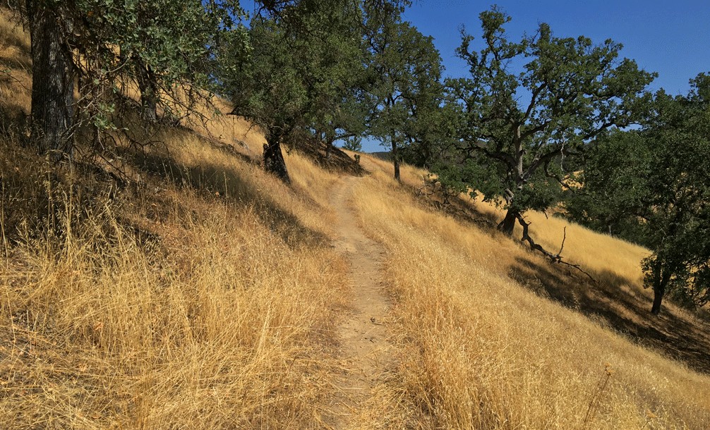
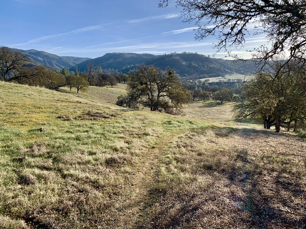
The trail starts off out of the parking lot on a service road and then to the right you’ll see a sign with Redbud Trail marked on it. Take the trail away from the road and hike along the edge of the foothills until you come to a creek bed that you have to cross. Continue reading “Hiking Redbud Trail to Baton Flat”

Baton Flat to Wilson Valley (Redbud Trail)

The hike along Redbud Trail takes you through the scenic foothills of the Cache Creek Wilderness Area.

This is a continuation of the Redbud Trail summary I wrote about in 2018. The total length of Redbud Trail (one way) is about 7.5 miles to Wilson Valley where it meets the Judge Davis Trail at Cache Creek. To read about the first 2.5 miles of the hike, see my Redbud Trail to Baton Flat summary. We pick up here at Baton Flat.

Continue reading “Baton Flat to Wilson Valley (Redbud Trail)”

Hiking High Bridge Trail

The views of the summer foothills from High Bridge Trail can be staggering at times.

The High Bridge Trail hike starts off on a brief service road going down to Bear Creek. Follow the trail signs, and they will point you to where the crossing should be, and you can see where the trail picks up on the other side of the creek. However, depending on what the water level is like, you may not be able to safely cross, and you may have to improvise your own way. If the water is running, you will have to use your own best judgment as to if crossing is wise, or if you should try it at another time. Continue reading “Hiking High Bridge Trail”

Billy’s Hill and Glascock Mountain

The north end of Capay Valley from Glascock Mountain where some of the farms can be seen.

The hike up Billy’s Hill and then over to Glascock Mountain can be a butt kicker, but it is worth it. This land is overseen by the Bureau of Land Management, so you can hike on it. Once you climb over the green gate, you will see there is no trail up Billy’s Hill, so the best way, albeit steep, is to hike a game trail. You may have to stop and rest on the up, which took me a little more than an hour to climb the 19 percent one-mile grade. The 980 foot ascent takes you from a starting elevation of 798 feet to 1778 feet. Continue reading “Billy’s Hill and Glascock Mountain”