
This short hike is an ass kicker, hence the name Cardiac Trail. After years of saying I’d never hike this trail because of everything I heard about it, a friend conned me into taking it on.
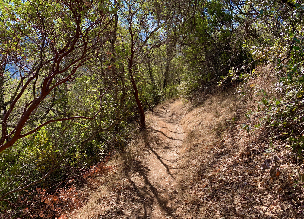
This hike starts off from the parking area smoothly enough, but after about half a mile, the descent starts. The temperature was in the 60s the morning we hiked this trail, but I actually broke a sweat going downhill on this one. I can’t recall the last time I may have ever done that, and I knew it was going to be a struggle coming back up. You may want to take trekking poles.
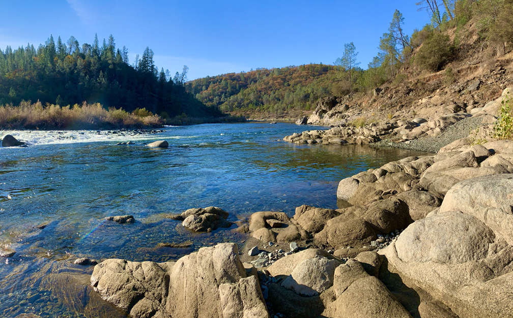
Once we made the mile descent down, we emerged in a parking area, and we took another trail out from there to the American River and sat next to it for while. We even got to see a deer cross a shallow part of the river. After sitting by the water for quite a while and taking everything in, we decided to go further along the North Fork of the American River. We hiked to another point where a sign told us we were embarking on Pioneer Trail that headed toward Folsom Lake. Not having planned for it or knowing what was ahead, we decided to turn around and head back.
The trick to Cardiac Trail is taking your time and not worrying about others whose pace might be quicker than yours. You’re not competing with anybody. Stop and take breaks.
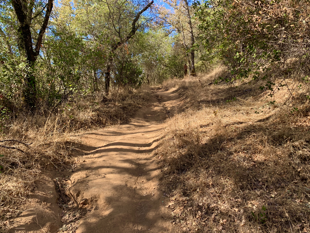
Along the way up and down, you will notice signs for Cardiac Bypass Trail that keep reconnecting with Cardiac Trail. We stuck to the main trail, but we made the assumption that Bypass Trail was made to make the climb a little easier and comes back to the main trial where the main trail was less challenging.
Directions: From Sacramento, take Interstate 80 East to Indian Hill Road in Newcastle, Ext 115. Follow Indian Hill Road for about 2.5 miles to Auburn-Folsom road and turn left. Drive 1 mile to Maidu Drive and turn right. Follow it to the park entrance on the right. You will see a toll booth, and the parking lot is right next to it. If the toll booth is not in operation, you will have to self-pay with an envelope in the parking lot. The parking lot is here: 38.875200, -121.065600
The Skinny:
Trail: Cardiac Trail to Pioneer Trail
Trailhead Coordinates: 38.875040, -121.065450
Trailhead Elevation: 1301 feet
Distance: 4 Miles – Out and Back
Level of Difficulty: 🔴
Average Grade: 6.9%
Steepest Grade: 15.3% Over 1 Mile
Ascension: 1,095 feet
Trail Condition: 🟢🟢🟢🟢
Scenery: 🟢🟢🟢
Nearest Town: Auburn
Challenges: High Temperatures
Traffic: 🥾 to 🥾🥾
Highlights: Views, American River
Best Time: Spring, Fall, Winter
Hazards: Heat – this is not a summer hike
Wildlife Concerns: Mountain Lions, Rattlesnakes
Cell Service: 📵 (AT&T)
Would I do this hike again? Probably
Restrooms: None at the Trailhead
Parking: $10 at the time of this writing