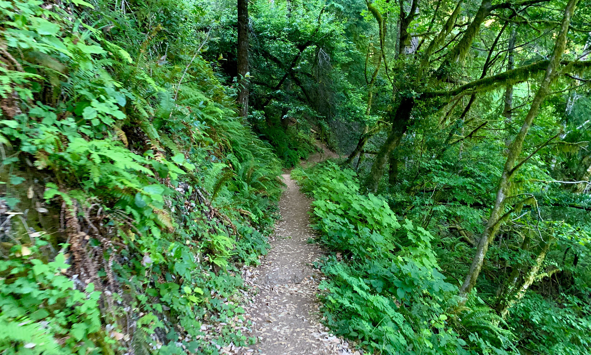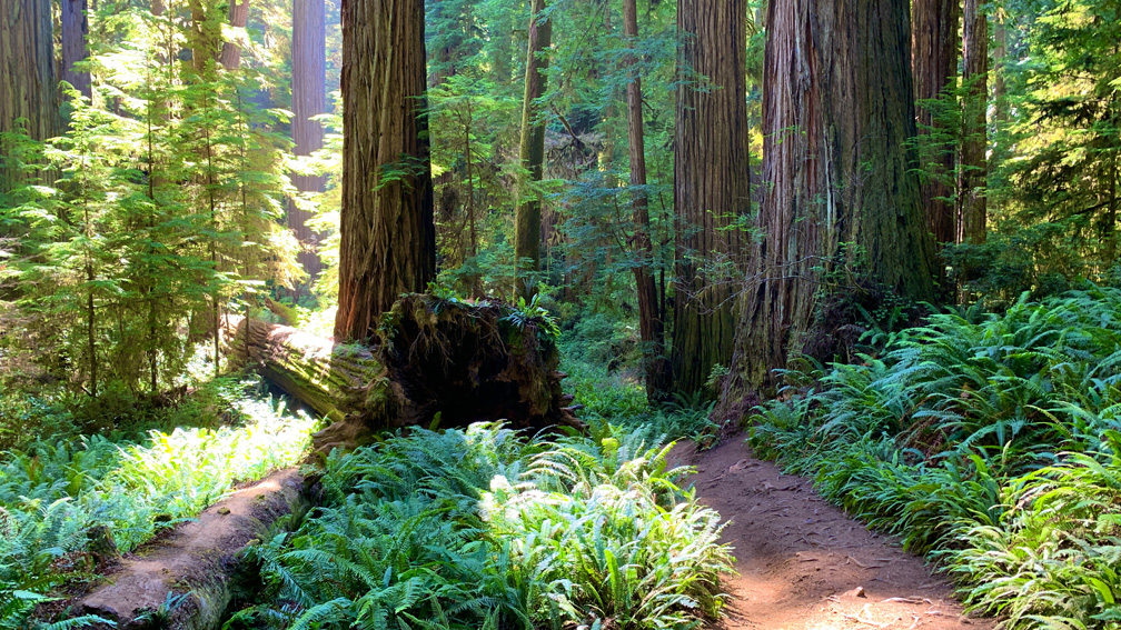
Boy Scout Trail in Jedediah Smith Redwoods State Park is a beautiful hike amongst the ferns and redwood trees. The trail leads to a massive redwood tree, called “Boy Scout Tree” and then a waterfall.
This trail starts off on a 4.3 percent grade for the first mile, but it’s hardly noticed as you’re surrounded by a cool but somewhat humid forest. And while hiking this fern-filled trail, I kept expecting to see an Ewok pop its head over the vegetation and peer out at us.
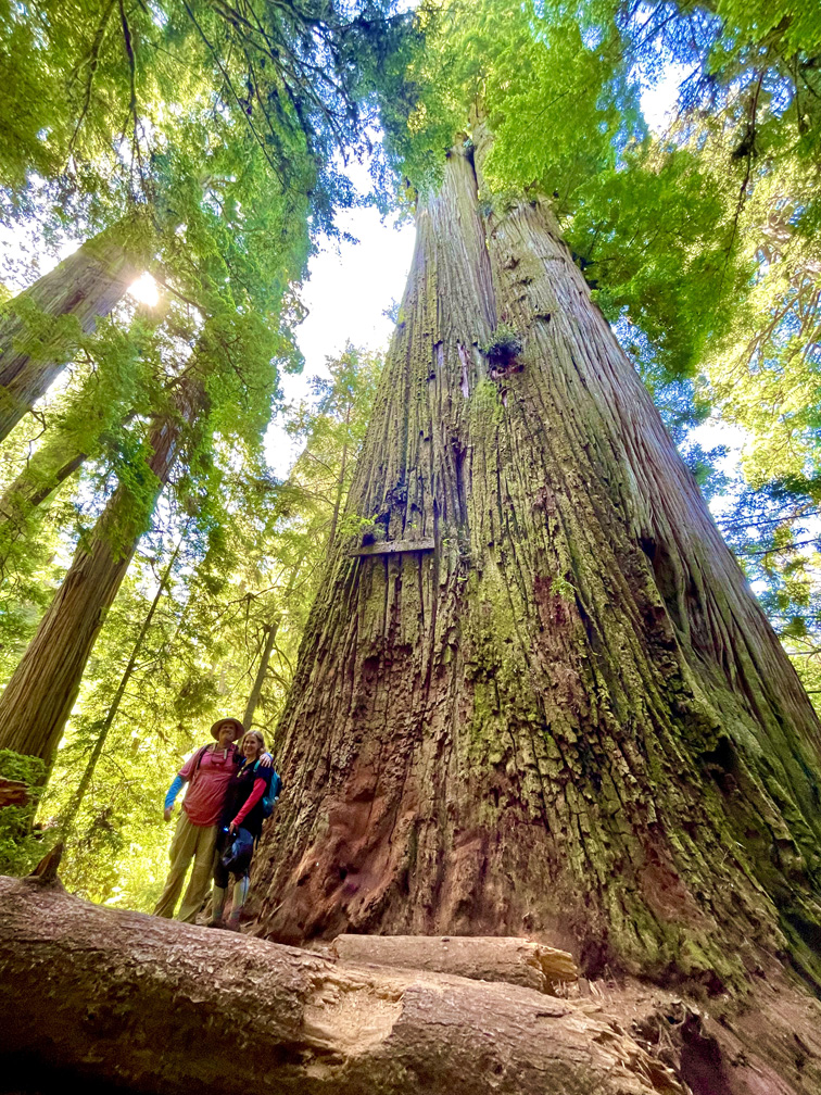
The highlight of the hike is Boy Scout Tree. It’s not General Sherman, but it’s a huge redwood. At about 2.5 miles down the trail, you’ll come to a fork. The trail goes on to Fern Fall, the end point, but the fork goes up a hill to Boy Scout Tree. The climb looks steeper than it really is. It’s nearly a 400 foot ascent on an 8.8 percent grade. Boy Scout Tree is clearly marked with a sign, and for scale, take a picture of yourself or another person next to the tree if you want to record the memory. The tree is more than 238 feet high and measures 23.24 feet in width.
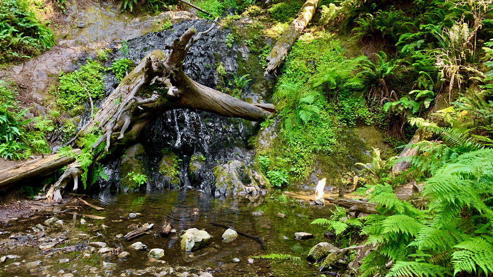
After you’ve been awed by the big tree, come back down to the trail and hike on for another .3 miles to Fern Falls. The falls are seasonal and usually taper out in the summer. There was water coming over the fall, but being a severe drought year in California when we visited, I don’t know if what we saw was normal or less than usual for late July.
Some people like to hike the trail when it’s cloudy or foggy because it gives a different feeling than if it’s clear. When we started our hike, it was overcast, but later through the day the sun emerged, and forest came to life with light highlighting some of the ferns while others remained in the shadows creating a contrast that was an artistic feast for the eyes.
Also, when the sun came out, there was a noticeable change in temperature when we stepped from the shadows, into the sunlight, and then back into the shade.
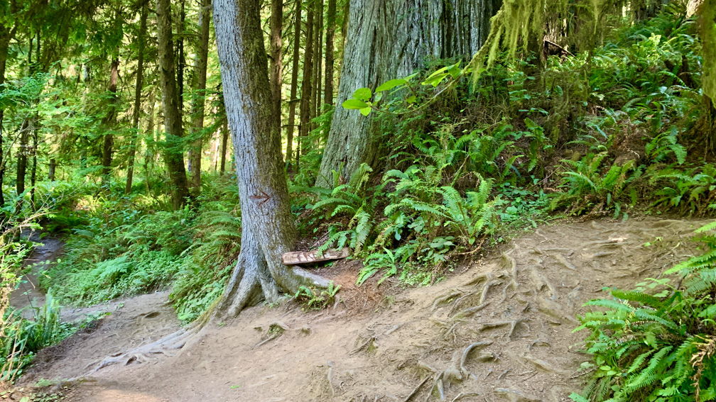
One thing to note are the roots emerging from the ground onto the trail, which was the biggest hazard of the hike. I was often watching the ground when I took steps so I wouldn’t trip over the roots.
Also, while this trail presented some challenges in places, we did encounter some hikers on our way out who would stop us and ask how much further because they were having issues with the up and down on the way.
Directions: From Crescent City, head east on Elk Valley Road and then turn right on Howland Road. Parking is here: 41.768784, -124.109896. Parking is limited, and it is best to arrive in the morning before more people begin to arrive.
The Skinny:
Trail: Boy Scout Trail
Trailhead Coordinates: 41.768500, -124.110333
Trailhead Elevation: 406 Feet
Distance: 5.9 Miles – Out and Back
Level of Difficulty: 🟠
Average Grade: .6%
Steepest Grade: 21% over 506 feet
Ascension: 1219 Feet
Trail Condition: 🟢🟢 – Because of the roots
Scenery: 🟢🟢🟢
Nearest Town: Crescent City
Challenges: Having to watch your step because of roots on the trail
Traffic: 🥾🥾🥾
Highlights: Boy Scout Tree, Scenery
Best Time: Spring, Early Summer, Fall
Hazards: Roots on the trail are tripping hazards
Wildlife Concerns: Bears, Mountain Lions
Cell Service: 📱
Would I Do This Hike Again?: Yes
Parking: Free
Restrooms: None
