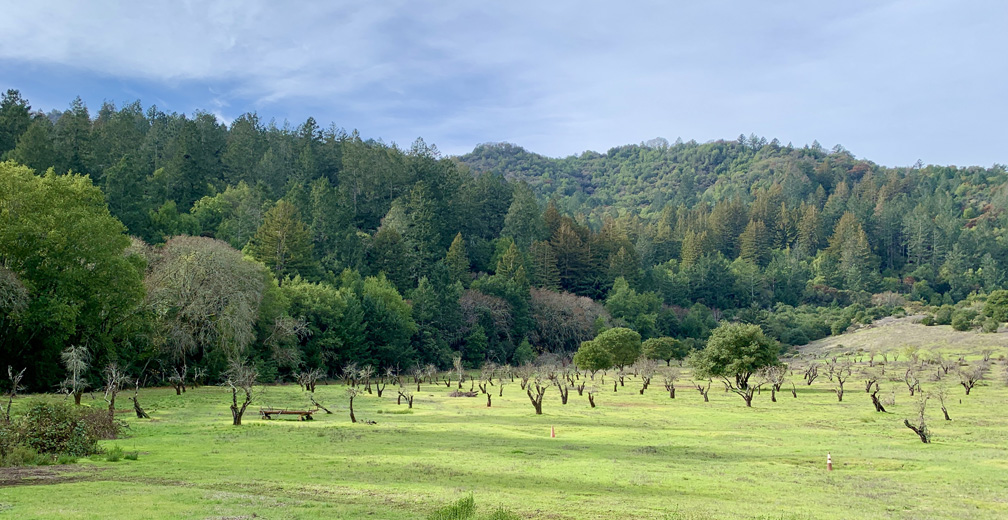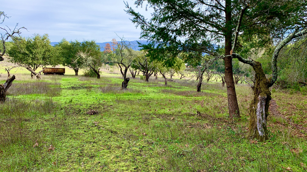
The hike to the Historic Orchard at Jack London State Historic Park is mild. The one-time 100 acre orchard once produced apples, apricots, pears, plums, and prunes. The orchard is a casual hike, but getting there is a hike up and down hills and through forests.
The hike starts off on the Lake Trail to London Lake from the Upper Parking Lot. As you begin, you hike past a picnic area, winery ruins and the distillery and turn and hike past a vineyard. Follow Mountain Trail which is a service road next to the wooded area. At about .8 miles from the trailhead, there is a footpath to the right, and we decided to take it since we’ve hiked past it two previous times and stayed on the service road.

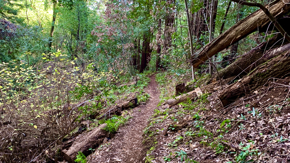
This trail goes through thick forest canopy where we climbed on an 8 percent grade for .4 miles before we rejoined the Mountain Trail. We came out above the lake and continued on as we continued to climb through redwoods and headed .2 miles to May’s Clearing.
After we left May’s Clearing, we hiked on the Mountain Trail for another .2 miles where we came to the Upper Fallen Bridge Trail. The Upper Bridge Trail ascended another .3 miles through open and covered areas on the hillside. After reaching the highpoint on the hike, we descended on a 10% grade for about half a mile. If you hike this trail the reverse way we hiked it, this would be a serious huffer-puffer. The trail is pretty, as it follows Asbury Creek on a hillside with thick canopy all around.

You will come past three junctions, and we hiked past them and the trail became Apple Tree Trail. Then it changed again to Apricot Tree Trail, which traced the perimeter of the orchard. We hiked it past Coon Trap Trail to Camp Via, which gave us views back into the orchard from the east. We then followed the road past the campsite, which was not clear if it was still in use or not, to Plum Tree Trail. From there, we were only on it for a short distance before we turned onto Orchard Trail and followed it to Camp Via Trail and headed in a northwesterly direction. After hiking with vegetation on both sides of us, we came out in an orchard where a couple of picnic tables were placed and stopped for snacks and took in the hills and trees around us for a little awhile. We followed the trial out and came to Pear Tree Trail and followed it around to where it intersected with Plum Tree Trail and Vineyard Trail, which we took in order to head back.
On the Vineyard Trail, it got more forested, and we passed redwood and oak trees and other varieties along the way. We turned off on the Quarry Trail to head back to Mountain Trail. We planned on taking Vineyard Trial back, but it was closed so we opted to take Quarry. It was a nice forested hike. We got back to Mountain Trail at the lake, and we found the footpath, joined it and returned to the parking lot.
Directions: From Sonoma, head west on West Napa Street toward and turn right onto Highway 12. Follow Highway 12 about 6 miles and turn left onto Arnold Drive. After about a mile, turn right onto London Ranch Road to the kiosk. Parking is here: 38.356111, -122.544728
The Skinny
Trail: Mountain Trail to the Historic Orchard
Trailhead Coordinates: 38.356320, -122.544960
Trailhead Elevation: 729 Feet
Distance: 5.9 Miles
Level of Difficulty: 🟡
Average Grade: 1.3%
Steepest Grade: 9.1% over 1.4 Miles
Ascension: 1320 Feet
Trail Condition: 🟢🟢🟢🟢
Scenery: 🟢🟢
Nearest Town: Glen Ellen
Traffic: 🥾
Best Time: Spring, Summer, Fall
Hazards: Slippery Mud After Rain, Temperatures Over 90 Degrees
Wildlife Concerns: Mountain Lions
Cell Service: 📱 (AT&T)
Would I Do This Hike Again?: No
Parking: $10 at the time of this writing
Restrooms: Vault toilet in the parking lot
