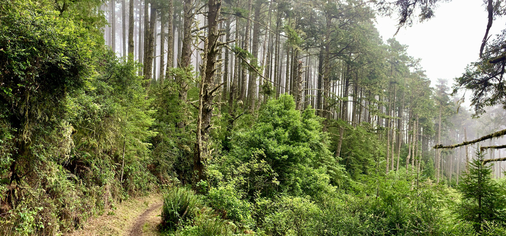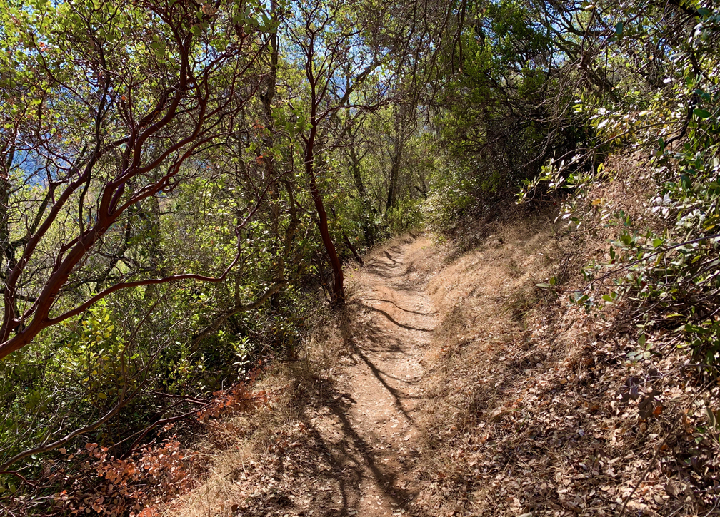
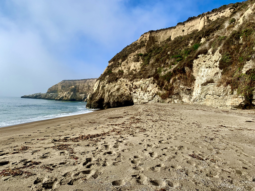
Sky Trail at Point Reyes National Seashore is an awesome hike, and at the right time of the year when the wildflowers are in bloom, it’s a feast for the eyes. For the most part, the hike is not too difficult and is actually relaxing as you hike under the pine forests next to ferns and greenery.
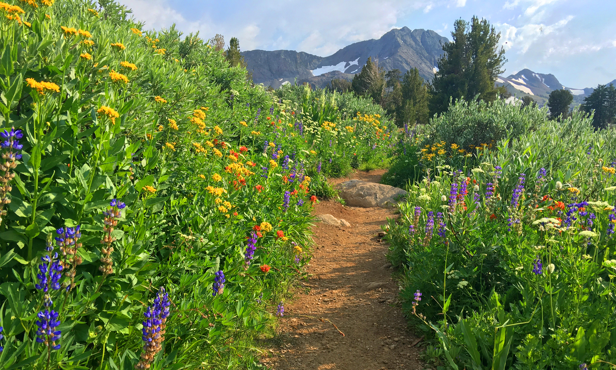
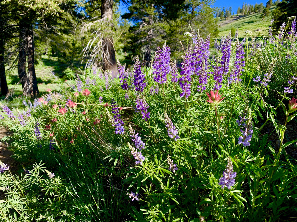
At the right time of the year, this is another “blow your mind” hike where wildflowers abound on the Schneider Camp Trail before you start the serious ascent to the junction that goes on to Showers Lake.
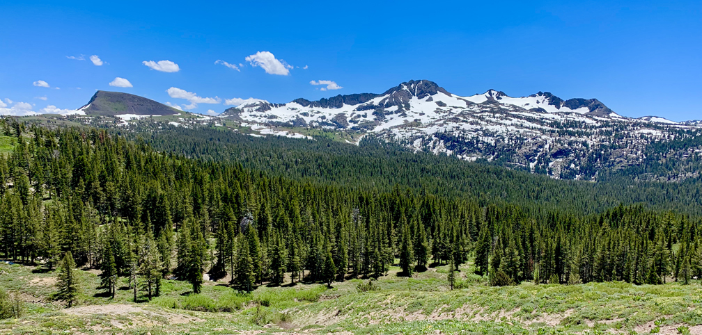
You have to work for it, but the view from the top of Bald Mountain is spectacular on a clear day. What makes it so spectacular is that as you take in a 360 degree view from the top, you can see the earth curve as you turn your head from landmark to landmark in all directions – something no picture can capture.
There is an update to Deafy Glade trail that will be posed on May 30, 2024 and will be linked to from here on that date. If you are contemplating doing this hike, I recommend you read the post when it is published. There are some safety concerns and trail hazards you need to be aware of.
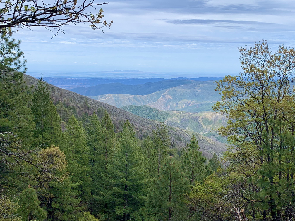
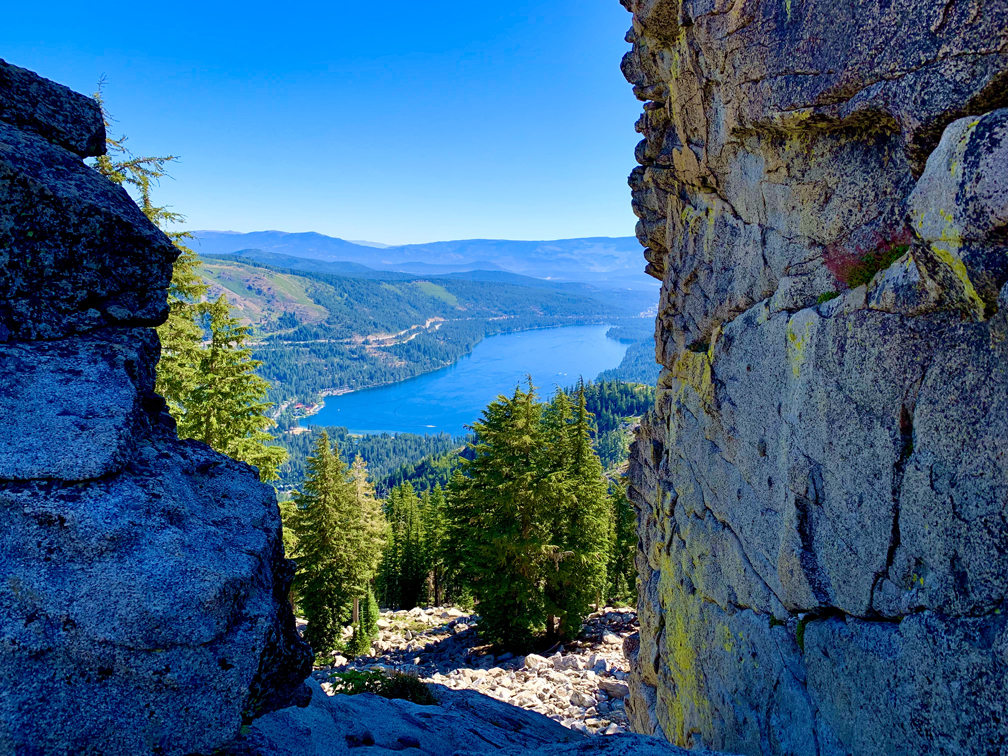
Deafy Glade Trail is a butt kicker. After about a mile in and a creek crossing, it’s 3.5 miles of climbing that pulls on your calves, hamstrings and other lower body muscles. If you want buns of steel, this trail can make it happen for you. The view from the top where the Deafy Glade Trail meets the Summit Springs Trail offers views down into the Sacramento Valley and even the Sutter Buttes on a clear day.
Bear Valley Trail is probably the most popular trail at Point Reyes National Seashore, and I’ve hiked it countless times. This family-friendly trail is wide and follows the Bear Valley Creek under lush canopy almost all the way where it intersects with the Coast Trail.
This short hike is an ass kicker, hence the name Cardiac Trail. After years of saying I’d never hike this trail because of everything I heard about it, a friend conned me into taking it on.
From the trailhead, the hike to Meiss Meadow follows the Pacific Crest Trail to the Upper Truckee River you’ll have to cross and proceed up to the Showers Lake.
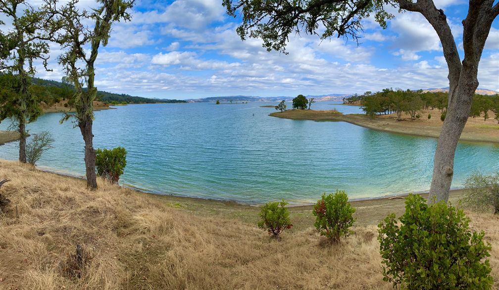
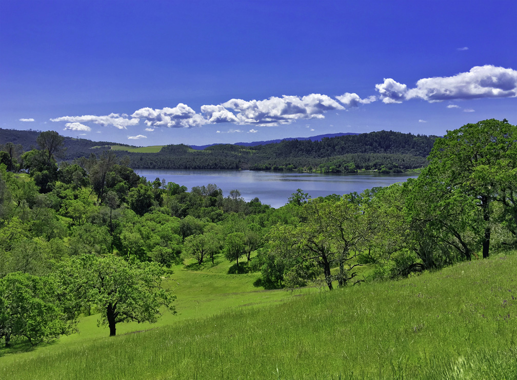
The hike on the Smittle Creek Trail is an easy rolling hill hike along the shores of Lake Berryessa, but it really isn’t that impressive. I hiked it in the fall, but it may come alive in the spring when the hills are green and wildflowers are in bloom. I’m told this trail is popular with birdwatchers. I’m not knocking this trail… it has its place, and viewed in context, it makes for a pleasant Sunday stroll with a picnic by the lake. Continue reading “Hiking Smittle Creek Trail”
This is a really pleasant trail in the Napa Foothills along Lake Hennessey, especially in the springtime when the hills and trees are all green. During the right times of day, it can also be great if you’re a birder.
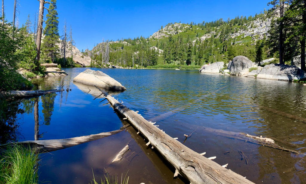
Lake Margaret is a beautiful back country lake in the Eldorado National Forest just 2.5 miles from the trailhead.
But don’t let that short mileage fool you. While the hike is pleasant and moves through forested areas, next to small bodies of water, and during the right time of year it is very flowery and green. There are, however, some challenges to overcome. Continue reading “Hiking to Lake Margaret”
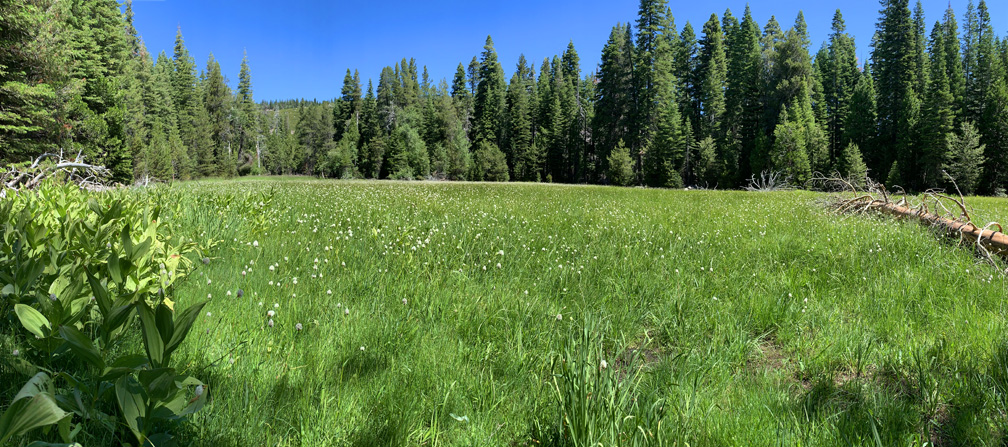
As I wrote in the Big Meadow to Round Lake summary, if you like hiking through meadows like I do, then this hike through Big Meadow is absolutely for you.
If you hike the trail to Scott’s Lake in the fall when the aspens are turning color, it will knock your socks off.
The hike starts off at the trailhead parking lot just off Highway 89 on Luther Pass, which is part of the larger Tahoe Rim Trail. You hike a pleasant .1 a mile before you come upon Highway 89 and have to cross it. Listen for traffic, as you should be able to hear it before you can see it coming around the two corners. Continue reading “Hiking to Scott’s Lake is full of Fall Color”
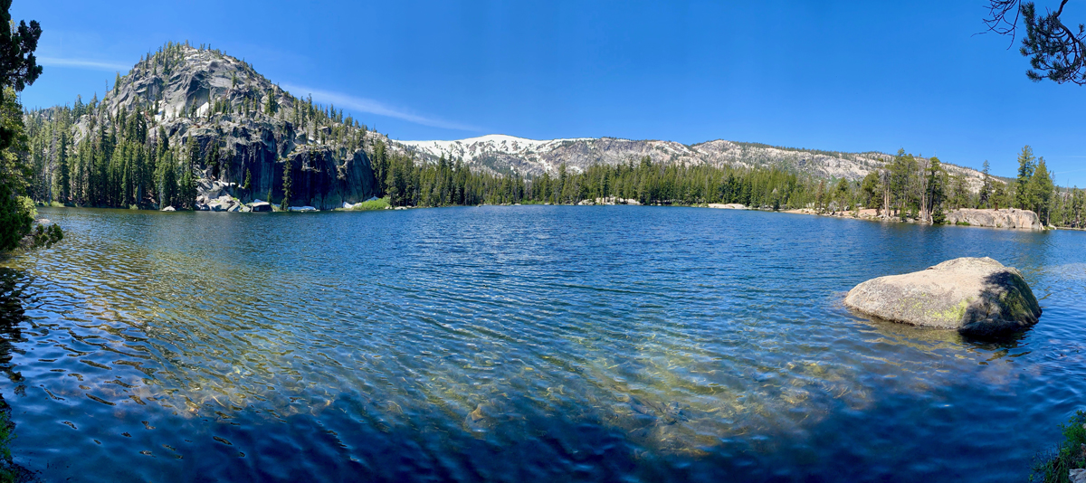
Lake Sylvia is a beautiful lake at 8050 feet in the Sierra Nevadas at the base of Pyramid Peak. The lake is small and beautiful, and the water is clear. It’s also idyllic and lined by pine trees on all but the northeast end, where you can look up at Pyramid Peak.