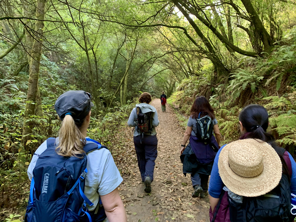
Bear Valley Trail is probably the most popular trail at Point Reyes National Seashore, and I’ve hiked it countless times. This family-friendly trail is wide and follows the Bear Valley Creek under lush canopy almost all the way where it intersects with the Coast Trail.
Along the way, the Bear Valley Creek babbles next to the trail, and during the rainy season, it flows fast with mini waterfalls coming down the hills and feeds the creek as you hike under Douglas fir. You will come to Divide Meadow where there are picnic tables and vault toilets.

As you continue on, you will come to the Coast Trail. Go north (right) and hike about .7 miles taking in sweeping views of the ocean. If it’s a clear day, you may see the Farallon Islands or whales blowing their spouts in the distance if the season is right until you come to a huge eucalyptus tree where the trail intersects with the trail to Kelham Beach.
This is where the trail gets difficult. Not going down, but coming back up you will climb steps for about a tenth of a mile on a 19 percent grade that seems to last forever. That’s about as tough as this hike gets.
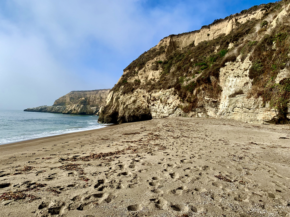
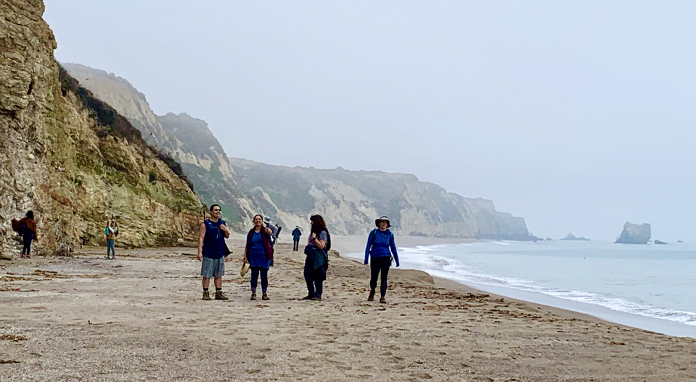
Kelham Beach is expansive with cliff walls run up behind you. Take your time, and sit and take in the ocean. We couldn’t see out very far out to sea the day were there because of the marine layer, but we could see seals near the shore. We had lunch and just listened to the waves crash into the beach. It was very relaxing.

Directions: From Novato, head west on Grant Avenue toward Redwood Boulevard. Turn right onto Novato Boulevard and then left on Point Reyes-Petaluma Road. Continue straight onto Platform Bridge Road, and follow it to Sir Francis Drake Boulevard and turn right. Follow it to Highway 1 and turn right about a tenth of a mile onto Bear Valley Road and follow it for about half a mile. Turn left onto the Bear Valley Visitor Center Road and follow it to the parking lot. The parking lot coordinates are here: 38.040553, -122.799716
The Skinny:
Trail: Bear Valley to Kelham Beach
Trailhead Coordinates: 38.039540, -122.799790
Trailhead Elevation: 183 Feet
Distance: 10.8 Miles – Out and Back
Level of Difficulty: 🟢; 🟡 See Summary
Average Grade: 2.1 %
Steepest Grade: 19.1% over 0.1 miles
Ascension: 997 Feet
Trail Condition: 🟢🟢🟢🟢
Scenery: 🟢🟢🟢
Nearest Town: Olema
Traffic: 🥾 on Weekdays, 🥾🥾 to 🥾🥾🥾 on Weekends
Highlights: Views, Wildflowers
Best Time: Spring, Summer, Fall, Winter
Wildlife Concerns: Mountain Lions
Cell Service: 📵 (AT&T)
Would I do this hike again? Yes
Restrooms: Flush Toilets at the Trailhead
Parking: Free
