I have selected some really great outdoors readying that I have found useful, informative, and entertaining. You can support Another 100 Feet by purchasing some these great reads though Amazon.com.
Hiking California
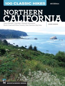
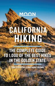 Moon California Hiking: The Complete Guide to 1,000 of the Best Hikes in the Golden State by Tom Stienstra and Anne Marie Brown – Pack a lunch, lace up your boots, and head out to discover the best hiking trails in California. This book is my go to when looking for new places to hike.
Ranger Stories

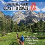
Backpacking Guides
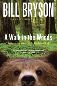
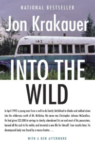
Tales of Survival, Tragedy and Inspiration


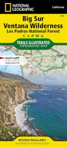
Maps
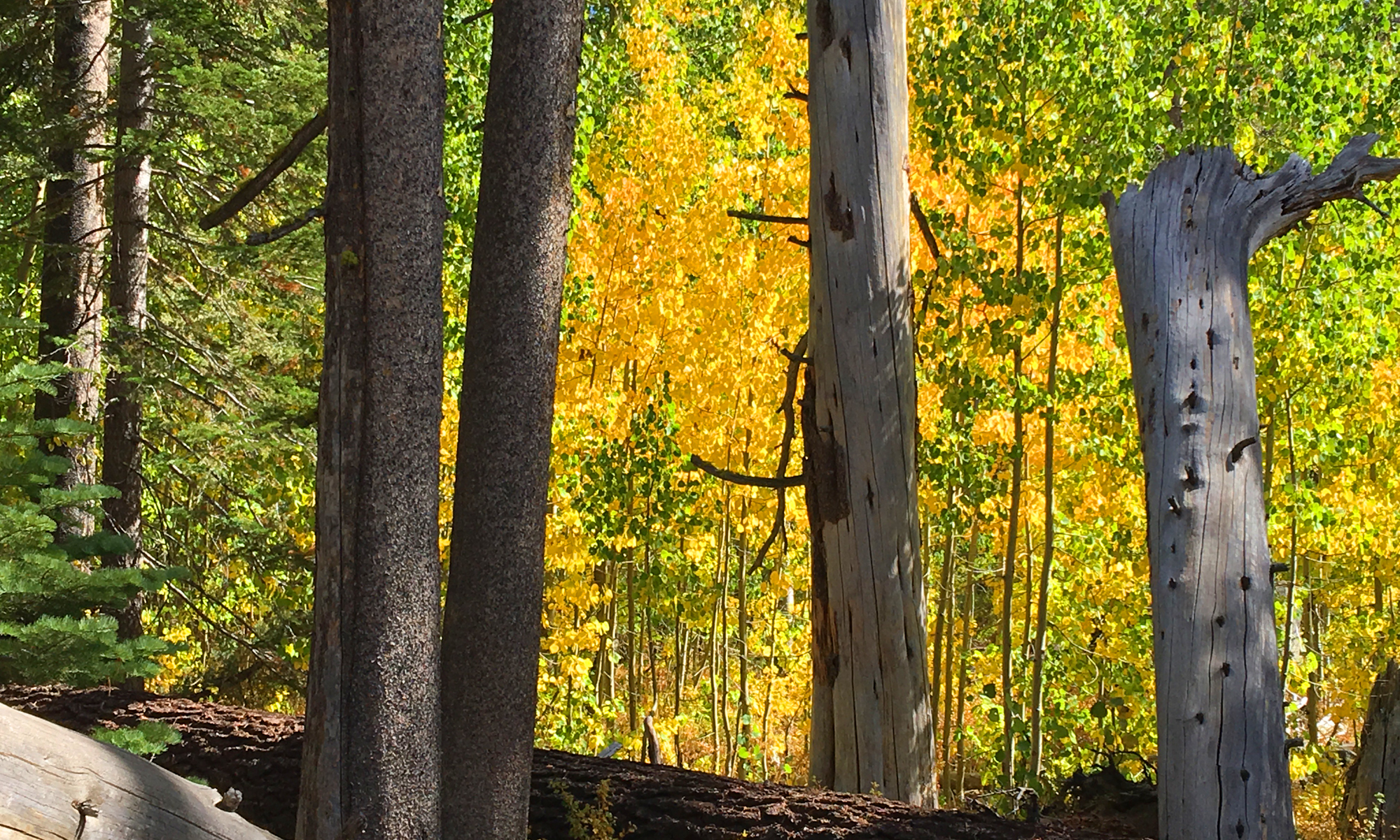
While we live in age where paper maps seem to be a thing of past, they still have vital place for wilderness hiking and backpacking. While many of us have come to depend on our GPS devices and smartphones, they can present problems. With smartphones, if you don’t have reception, you are SOL, unless you have the ability to download the map and trail before you head out and have reception, and your phone has a satellite link capability. With both a GPS and a smartphone, the other issue is equipment failure either through dead batteries, damage, or some other unfortunate event that renders them inoperable. This is where a paper map can come into play if you are in the wilderness and need to find out your way back out. Even though I rely on my GPS, I rarely head out without a paper map.
These are some of the map brands I’ve used when I head out and have in my collection.

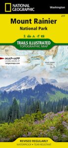 The highest point in the Cascade Range, Mount Rainier is an icon of Washington state. It is an active volcano and the largest single-peak glacial system in the lower forty-eight states, spawning 6 major rivers. National Geographic’s Trails Illustrated map of Mount Ranier National Park is designed to meet the needs of outdoor enthusiasts by combining valuable information with unmatched detail of this spectacular landscape of glaciers, old-growth forests, subalpine meadows, and valleys. Created in partnership with local land management agencies, this expertly researched map features key areas of interest including Paradise, Longmire, White River, Mowich Lake, Ohanapecosh, Chinook Scenic Byway, Crystal Mountain, and Glacier View Wilderness.
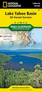
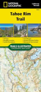 Tahoe Rim Trail Map (National Geographic Topographic Map Guide, 1013) – Conceived in 1978 and completed in 2001, the 175-mile Tahoe Rim Trail (TRT) circumnavigates the beautiful Lake Tahoe Basin and traverses some of the most spectacular scenery in the Sierra Nevada and Carson Ranges.
For more than 50 miles the TRT coincides with the Pacific Crest Trail (PCT), a national scenic trail extending from Canada to Mexico through the western United States. The lowest point along the TRT is approximately 6,200 feet above sea level where the Truckee River enters Lake Tahoe; with the highest point at Relay Peak, 10,398 feet. While the average segment elevation gain is 5,400 feet, the total elevation gain of the entire trail is greater than 40,000 feet.
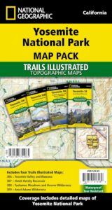 Yosemite National Park has some of the most stunning landscapes in the world. This four title Map Pack Bundle helps explorers of all levels see everything this astounding park has to offer. The maps offer detailed views of each area of the park from Yosemite Valley, to Tuolumne Meadows, the Ansel Adams Wilderness and Hetch Hetchy Reservoir. Each map offers an enlarged view of a specific portion of the park. With all four maps visitors are ready for just about anything, from a day hike in Yosemite Valley to a multi-day packback adventure in the backcountry. Each trail and road has been carefully researched with the help of the National Park as well as other public land management agencies. The trails include mileages between intersections.