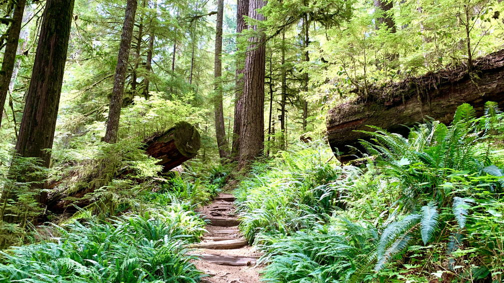
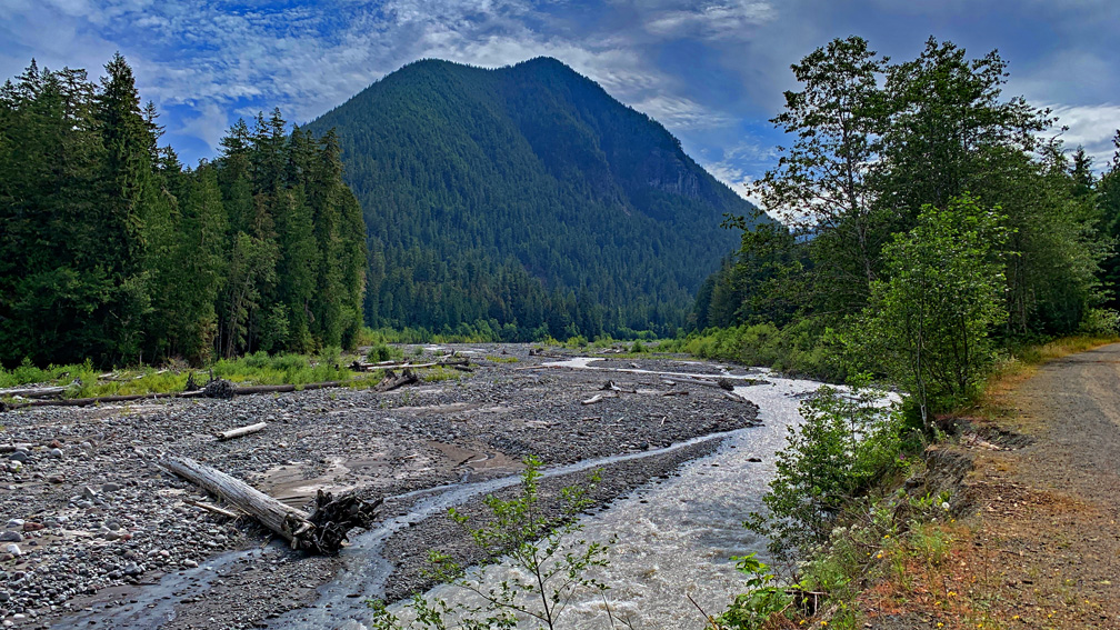
Hiking the Carbon River Trail in the northwest corner of Mount Rainier is pretty easy-going. You will hike next to old-growth Douglas-fir trees while hiking through a densely green rainforest.
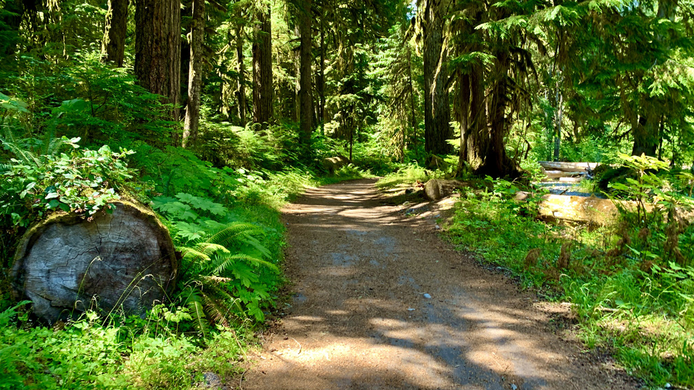
The trail starts out as a paved road that turns to gravel after about half a mile. The trail used to be a road that washed out in 2006 that lead to Ipsut Creek Campground, so while you’re hiking up, the grade is gradual, and you hardly know you’re climbing.
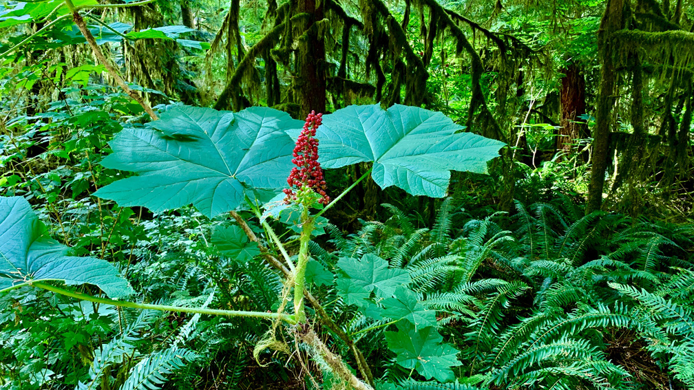
Along the way, the only colorful plant we saw was Devil’s Walking Stick and the berries it produced. Touching the leaves could prove painful though. They are sharp, and they poke. As we were looking at the plant, a hiker passed us and called the plant “neddles” and basically said we wouldn’t want to touch it, as I found out a little later during the hike.
As we hiked on, we passed a few other hikers and bikers on the trail, and as beautiful and easy as the hike was, we wanted something a little more. At 3.1 miles in, we came to the Green Lake Trail sign, and we veered toward it.
This trail is a climb, and we only went a mile to Ranger Falls, which was beautiful.
Hiking this trail was like hiking through something you would see in an Indiana Jones movie. The canopy was thick, the undergrowth was lush, and the humidity was high. The trail was well maintained with steps in some places, but there were some points where it narrowed and the growth squeezed you in. It was here that I was stung through my clothes a couple of times by Devil’s Walking Stick as I brushed against it. It was not pleasant, but the minor pain did not last long. The trail was dry when we hiked it, but if you were to hike it on a rainy or moist day, I could see it getting pretty muddy, so you may want to bring a trekking pole with you.
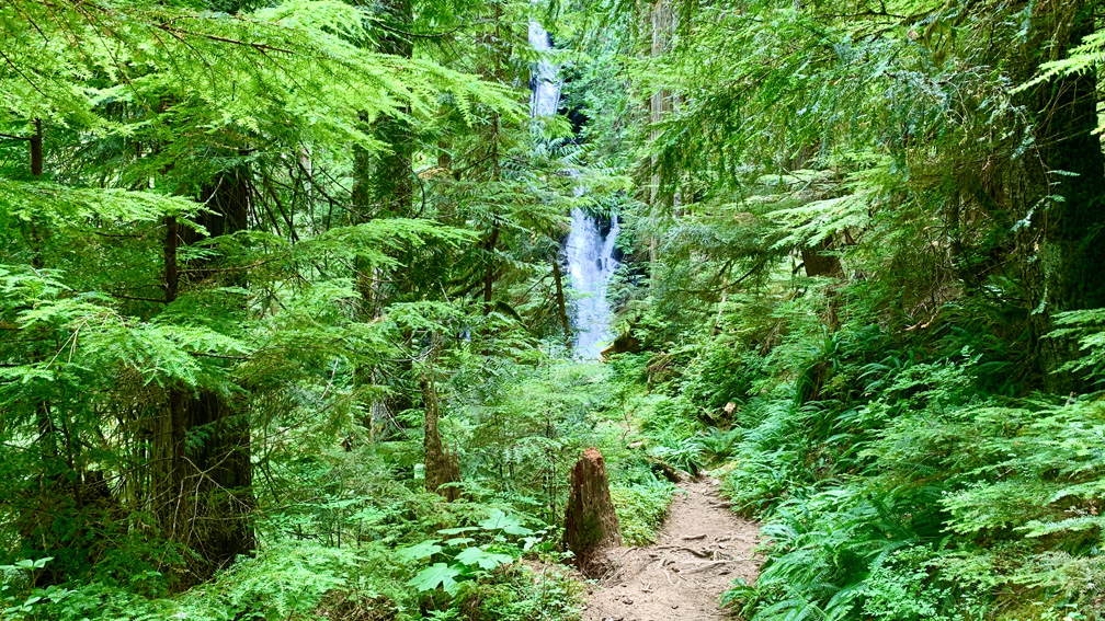
After stopping and resting once, we found our way to Ranger Falls. There is a fork with an old sign post, which the sign has come off of. Go right and you will continue to Green Lake, and if you go left, it’ll take a short way down to an observation area where you can marvel at Ranger Falls as it washes down the mountain in front of you before going on to Green Lake or heading back. We decided to head back.
One thing to note about this trail is you will not have a view of Mount Rainier.
Directions: From Wilkeson, head south on Highway 165 for 5.8 miles and make a slight left turn on Carbon River Road. Follow it to the end. There is parking along the side of the road before it ends. Parking is here: 46.994937, -121.916798. Please note, it costs $30 to enter the national park, which is good for seven days. When we returned, we saw several cars with citations on them for failure to pay/not showing a receipt or pass.
The Skinny:
Trail: Carbon River Trail to Ranger Falls
Trailhead Coordinates: 46.995031, -121.915217
Trailhead Elevation: 1845 Feet
Distance: 8.3 Miles – Out and Back
Level of Difficulty: 🟠
Average Grade: 5%
Steepest Grade: 18% over .2 miles – the Green Lake trail grade averages 13.9%
Ascension: 1646 Feet
Trail Condition: 🟢🟢🟢🟢
Scenery: 🟢🟢🟢
Nearest Town: Carbonado
Challenges: Hiking in the Humidity
Traffic: 🥾
Highlights: Ranger Falls, Old-Growth Forest
Best Time: Spring, Summer, Fall
Hazards: Devil’s Walking Stick
Wildlife Concerns: Bears, Mountain Lions
Cell Service: 📵 (AT&T)
Would I Do This Hike Again?: Maybe
Parking: $30 – Good for 7 Days
Restrooms: Porta Potties at the Trailhead
