Hiking Fleming Trail Loop in Eldorado National Forest

Hiking among the trees on the Fleming Loop in the Eldorado National Forest is a place that offers peaceful contemplation.

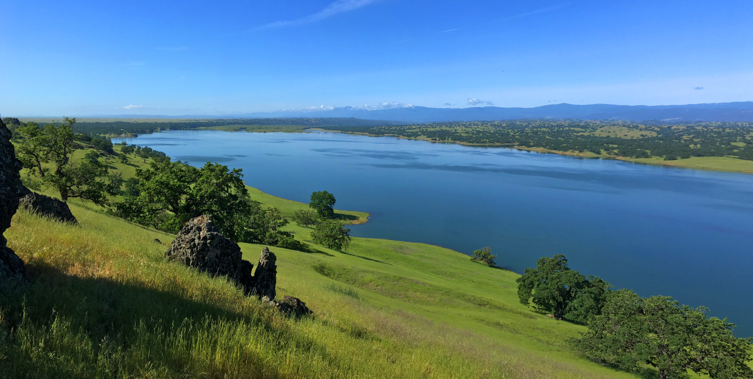
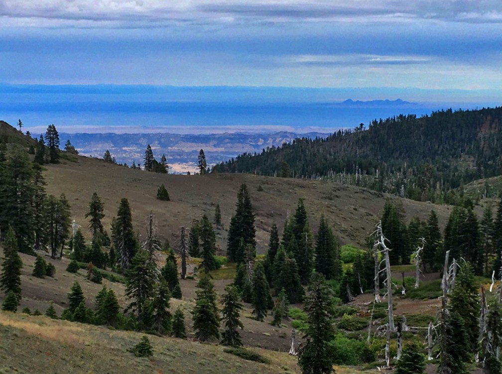
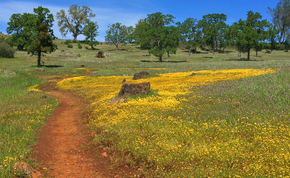
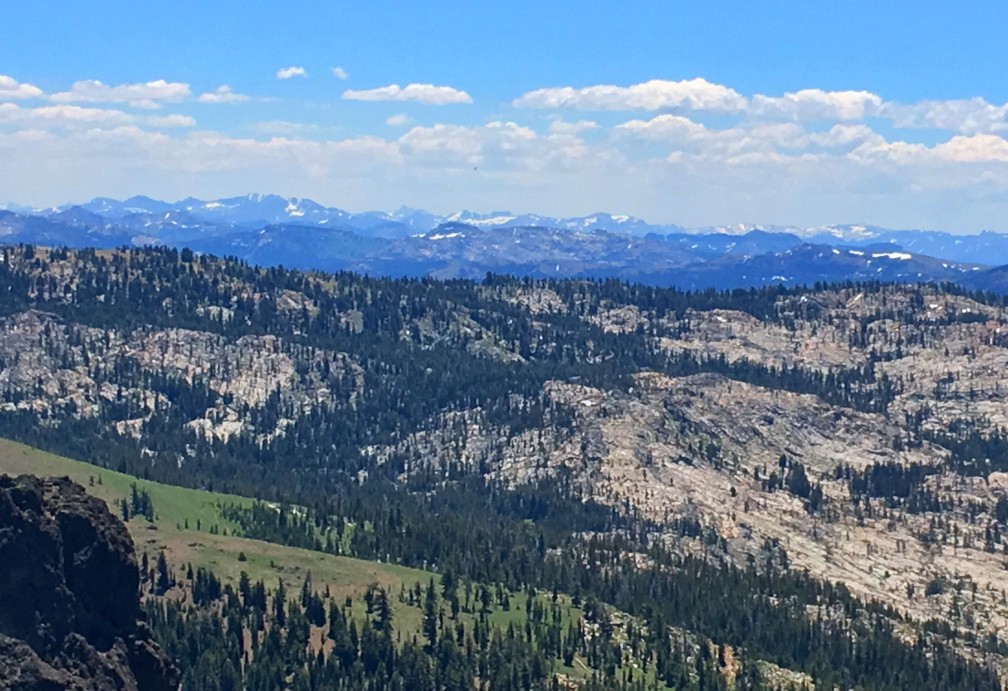
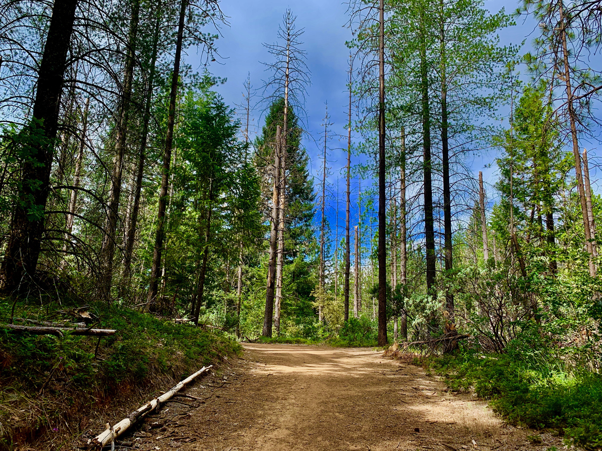
If you’re in the frame of mind for this type of trail, the Fleming Meadow Loop rocks. There are no sweeping vistas, not an abundance of wildflowers or much running water – just a hike among the trees in some areas with very dense forest. My experience was awesome for contemplation and meditation.

The Fleming Meadow Loop in the Eldorado National Forest is one of the best marked and maintained trails I’ve come across in a national forest. When you hike Trail 8, you will come across many junctions with roads and other trails, but Trail 8 is marked so it is easy to follow. This trail is taken advantage of by hikers, mountain bikers, equestrian riders and the locals who know its secret. Continue reading “Hiking Fleming Trail Loop in Eldorado National Forest”

Hiking to Feather Falls

Feather Falls in Butte County plummets more than 400 feet down into the Feather River.

How can you be a hiker in Northern California and not hike to Feather Falls? The falls are an awesome to sight to behold, and the hike isn’t so bad either – depending on when you go and the condition of the trail. At about .4 miles from the trailhead, you’ll have decision to make when you come to fork.

If you want to make a loop out of this hike, it might be best to go to the left, as the trail will head downhill. Coming back up this way could be strenuous. If you do decide to come back up this way, there are a series of benches along the trail for resting. This way is shorter taking about 3.3 miles to get to the overlook. Continue reading “Hiking to Feather Falls”

Hiking the Steep Ravine Trail – Dipsea Trail Loop

The Steep Ravine Trail on Mount Tamalpias follows Webb Creek through a lush Redwood forest.

If you like hiking under Redwood trees next to running water and waterfalls, then the Steep Raving Trail is the hike for you if you do it at the right time of the year. By that, it’s good to go during or after a good rain when the waterfalls will be flowing.

The trail is called Steep Ravine for a reason. You will descend 1,084 feet on a 9 percent grade slightly over 2 miles. For the most part, it’s gentle, but the beginning is steep. If the water is running, it’s worth it. Continue reading “Hiking the Steep Ravine Trail – Dipsea Trail Loop”

Hiking to Bassi Falls

Bassi Falls is at its fullest strength in May from the snowmelt runoff. 
Bassi Falls is at its fullest strength in May from the snowmelt runoff.

Updated May 23, 2021

Bassi Falls is a spectacular show of natural force as it tumbles and crashes 109 feet off granite rocks before the water hits the bottom and flows away. To see the falls at their most powerful, it’s best to go before the end of May while the snowmelt is still good. After May, the flow slows and eventually becomes a trickle. Continue reading “Hiking to Bassi Falls”

Hiking Eagle Pass to Paul Thomas Trail

Black Butte Lake from Eagle Pass is a green and alive in the springtime.

The hike from Eagle Pass to the Paul Thomas Trail can only be done in the springtime while the grasses are green before the summer sets in and the weather is still cool enough to be outside in the valley. The view from Eagle Pass you hike up to is incredible. It looks over to Black Butte, the lake itself to the west and the Coastal Mountain Range that spans the horizon running from the north the south that disappears to sight. Continue reading “Hiking Eagle Pass to Paul Thomas Trail”

Hiking Snow Mountain West Peak

The Sutter Buttes, the Sacramento Valley and the Sierra Nevadas can be seen in the distance from Snow Mountain.

Note: This portion of the forest was severely burned in 2018 shortly after I hiked it, and most the trees are now burned out. See my Snow Mountain East Peak summary for an update.

Peaceful desolation. That’s what the hike up Snow Mountain in the Snow Mountain Wilderness is. The trails are defined, the wildflowers are in bloom in the summer and people are scarce. The trails in this Northern California area are a hidden gem, as they are under-hiked and seemingly unknown to most.

Though not recommended to hike in the summer as the heat can be brutal, I happened to catch the mountain on an unseasonably cool July day with overcast and a smattering of rain. The wildflowers were in bloom from red to purple, yellow, blue and orange. The hike starts out exposed and meanders for a little more than a mile before you start to get under the cover of the tall pine trees as you climb.

Continue reading “Hiking Snow Mountain West Peak”

Hiking Blue Ridge Trail to Fiske Peak

The view from the Blue Ridge Trail is sweeping as it looks into the Mendocino National Forest in the distance with Cache Creek in the foreground.

I love this hike! Hiking the Blue Ridge Trail to Fiske Peak in Northern California starts with a mild climb through an oak forest. It’s the only canopy you’ll be under during the hike. As the trail meanders up the open hillside, you’ll hike into a clear view of Glascock Mountain across the highway. Once you get to this point, the real ascension quickly begins. Continue reading “Hiking Blue Ridge Trail to Fiske Peak”

Upper Bidwell Park: North Rim Trail to Middle Trail

The North Rim Trail in Upper Bidwell Park comes alive with color in the springtime.

It isn’t often that I hike a city park and let alone write about it, but Upper Bidwell Park in Chico is laden with hiking trails in the hills is an exception. Over the years I’ve heard so much about the hiking trails in Upper Bidwell Park, I finally decided to check it out in the spring. I hiked the North Rim Trail and Middle Trail Loop. Continue reading “Upper Bidwell Park: North Rim Trail to Middle Trail”

Hiking Thunder Mountain

The views to the south of Thunder Mountain can be spectacular if the climatic conditions are right and there is at least some snow on the mountaintops in the distance.

This sometimes heavy breather of a hike to Thunder Mountain has outstanding views of mountaintops and ranges and overlooks vast swaths of trees and granite, meadows and forested hiking. At slightly over three miles in, and after some of the heaviest climbing on the trail, you come to the vista that can make you stop hiking and just gaze at the landscape. As you look to the south, you can see mountain peaks in the distance – probably in the Stanislaus National Forest – some with snow on them. If there are clouds in the over them, it’s an even more powerful view. Continue reading “Hiking Thunder Mountain”

Hiking High Bridge Trail

The views of the summer foothills from High Bridge Trail can be staggering at times.

The High Bridge Trail hike starts off on a brief service road going down to Bear Creek. Follow the trail signs, and they will point you to where the crossing should be, and you can see where the trail picks up on the other side of the creek. However, depending on what the water level is like, you may not be able to safely cross, and you may have to improvise your own way. If the water is running, you will have to use your own best judgment as to if crossing is wise, or if you should try it at another time. Continue reading “Hiking High Bridge Trail”

Billy’s Hill and Glascock Mountain

The north end of Capay Valley from Glascock Mountain where some of the farms can be seen.

The hike up Billy’s Hill and then over to Glascock Mountain can be a butt kicker, but it is worth it. This land is overseen by the Bureau of Land Management, so you can hike on it. Once you climb over the green gate, you will see there is no trail up Billy’s Hill, so the best way, albeit steep, is to hike a game trail. You may have to stop and rest on the up, which took me a little more than an hour to climb the 19 percent one-mile grade. The 980 foot ascent takes you from a starting elevation of 798 feet to 1778 feet. Continue reading “Billy’s Hill and Glascock Mountain”

Hiking Valley Vista Trail

The view from Valley Vista Trail overlooks a northern portion of Capay Valley with Cache Creek running below it.

The hike up to Valley Vista Trail can be heart pounding in areas and seemingly level in others while you ascend the entire time. On a clear day while hiking, you can see the Sutter Buttes, portions of the north end of Capay Valley, the Sacramento Valley and the Sierras way out to the east. Continue reading “Hiking Valley Vista Trail”