Stebbins Cold Canyon Loop Hike

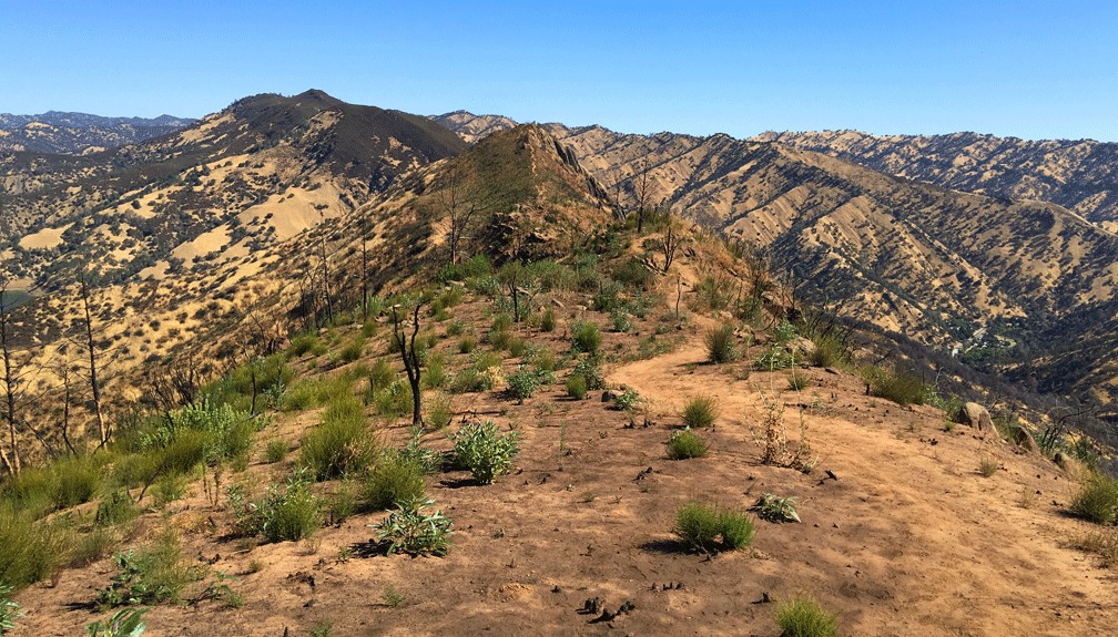
The Blue Ridge Trail offers sweeping views of the foothills and surrounding area from about 1600 feet.

Exploring the Stebbins Cold Canyon Loop, (also called the Homestead-Blue Ridge Loop or the Homestead Blue Ridge Trail), starts off easy as you hike through the canyon, but it becomes a workout as you ascend to the great views of Lake Berryessa. I have hiked this trail more times than I can count, and I will continue to hike it. I love it for its views and its challenge.

The way to the trail starts off from the parking lot is where you hike under Highway 128 by going through a drainage tunnel that runs under it. Continue reading “Stebbins Cold Canyon Loop Hike”
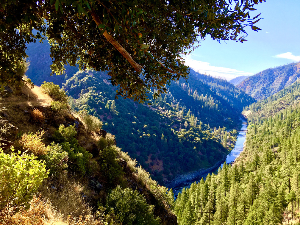
Stevens Trail Along the American River

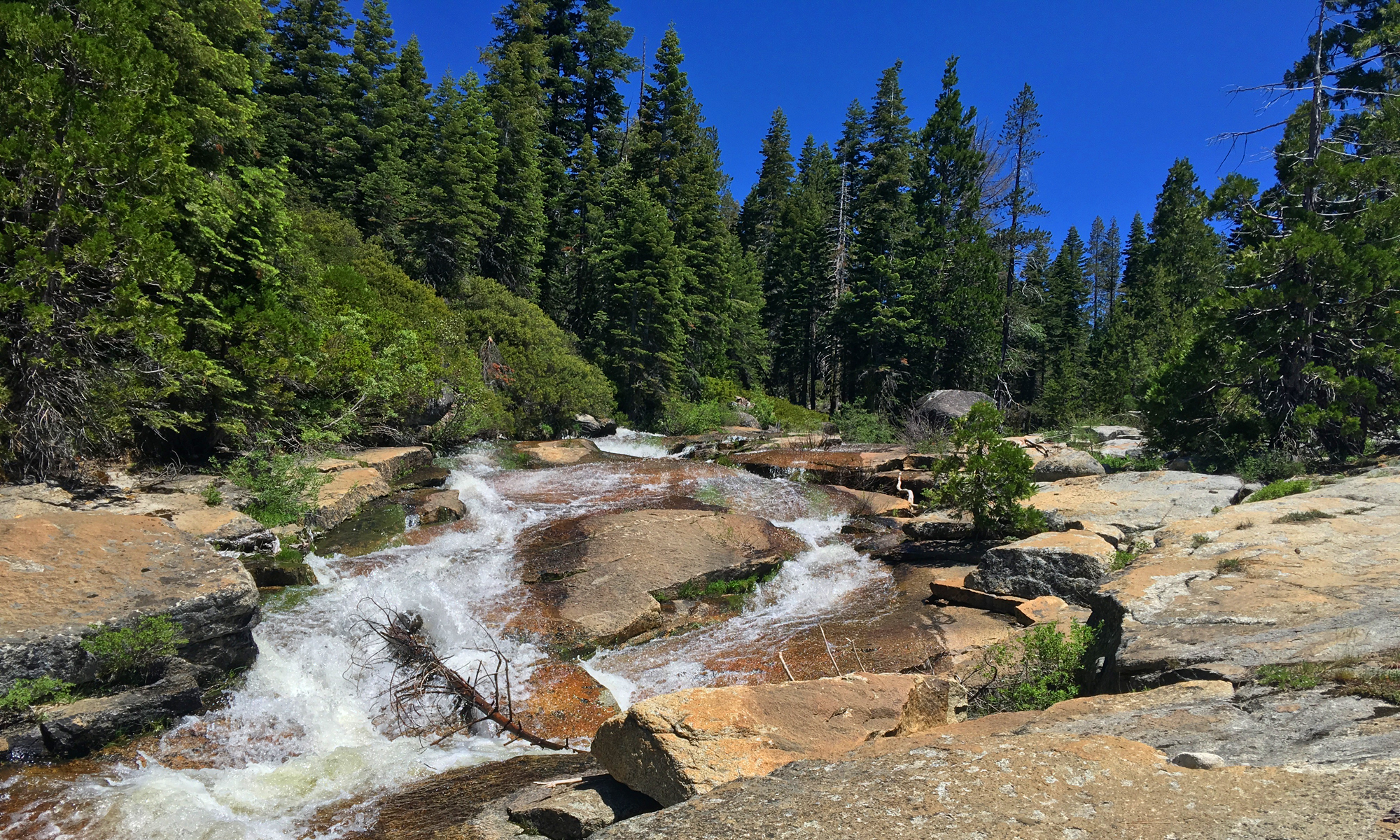
The American River Canyon from the Stevens Trail.

The Stevens Trail just outside of Colfax starts off pleasantly as you hike amongst lush greenery on both sides of the trail under the shade from oak tree canopy. The 1400 foot 3.7 mile descent to the American River is gentle, and the traffic sounds of the traffic on Interstate 80 fade into the distance as you venture away from the trailhead. Continue reading “Stevens Trail Along the American River”

Hiking Pleasants Ridge Trail

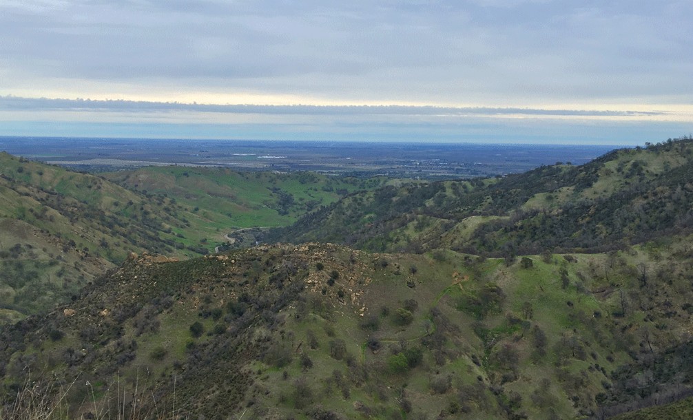
A view of the Sacramento Valley from Pleasants Ridge Trail.
From Pleasants Ridge Trail, you can look down into the Sacramento Valley.

This trail is now closed

Hiking up Pleasants Ridge Trail starts off easy enough, but the hike quickly becomes a heart-pounding, heavy-breathing workout. At the time of this writing, Alltrails.com rates this trail as moderate (recently re-rated as hard)It is not, and this short trail is no way for the inexperienced hiker by any means. With grades at nearly 46 percent in some sections, this trail can actually be dangerous on the descent. I’ve never used my “hiker safety” category on a trail summary before, but this one is an exception. Continue reading “Hiking Pleasants Ridge Trail”

Hiking The Mount Konocti Trail

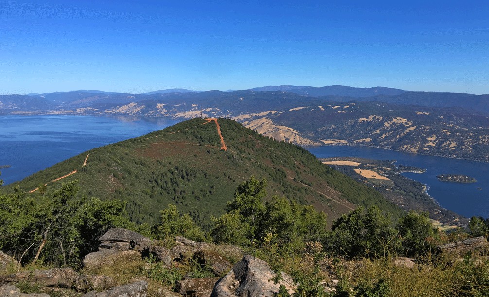
Buckingham Peak with Clear Lake in the background from Wright Peak on Mount Konocti.

Hiking up Mount Konocti to Wright Peak is about a six-mile round-trip hike from the Upper Parking Lot near the access gate on Konocti Road. You will climb approximately 1,600 feet, and along the way, you hike past past walnut and apple orchards, through an amazing Canyon Oak grove to the Mary Downen cabin, which was built in 1903 and preserved. The trail continues up to Wright Peak to the no longer used CalFire lookout tower. You can also hike to Buckingham Peak and Howard Peak, which would make the entire mountain nearly a 9-mile hike. Continue reading “Hiking The Mount Konocti Trail”