Hiking to Feather Falls

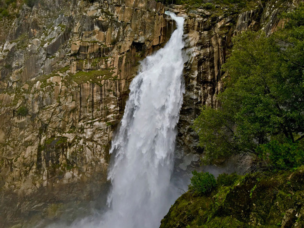
Feather Falls in Butte County plummets more than 400 feet down into the Feather River.

How can you be a hiker in Northern California and not hike to Feather Falls? The falls are an awesome to sight to behold, and the hike isn’t so bad either – depending on when you go and the condition of the trail. At about .4 miles from the trailhead, you’ll have decision to make when you come to fork.

If you want to make a loop out of this hike, it might be best to go to the left, as the trail will head downhill. Coming back up this way could be strenuous. If you do decide to come back up this way, there are a series of benches along the trail for resting. This way is shorter taking about 3.3 miles to get to the overlook. Continue reading “Hiking to Feather Falls”
Hiking Eagle Pass to Paul Thomas Trail

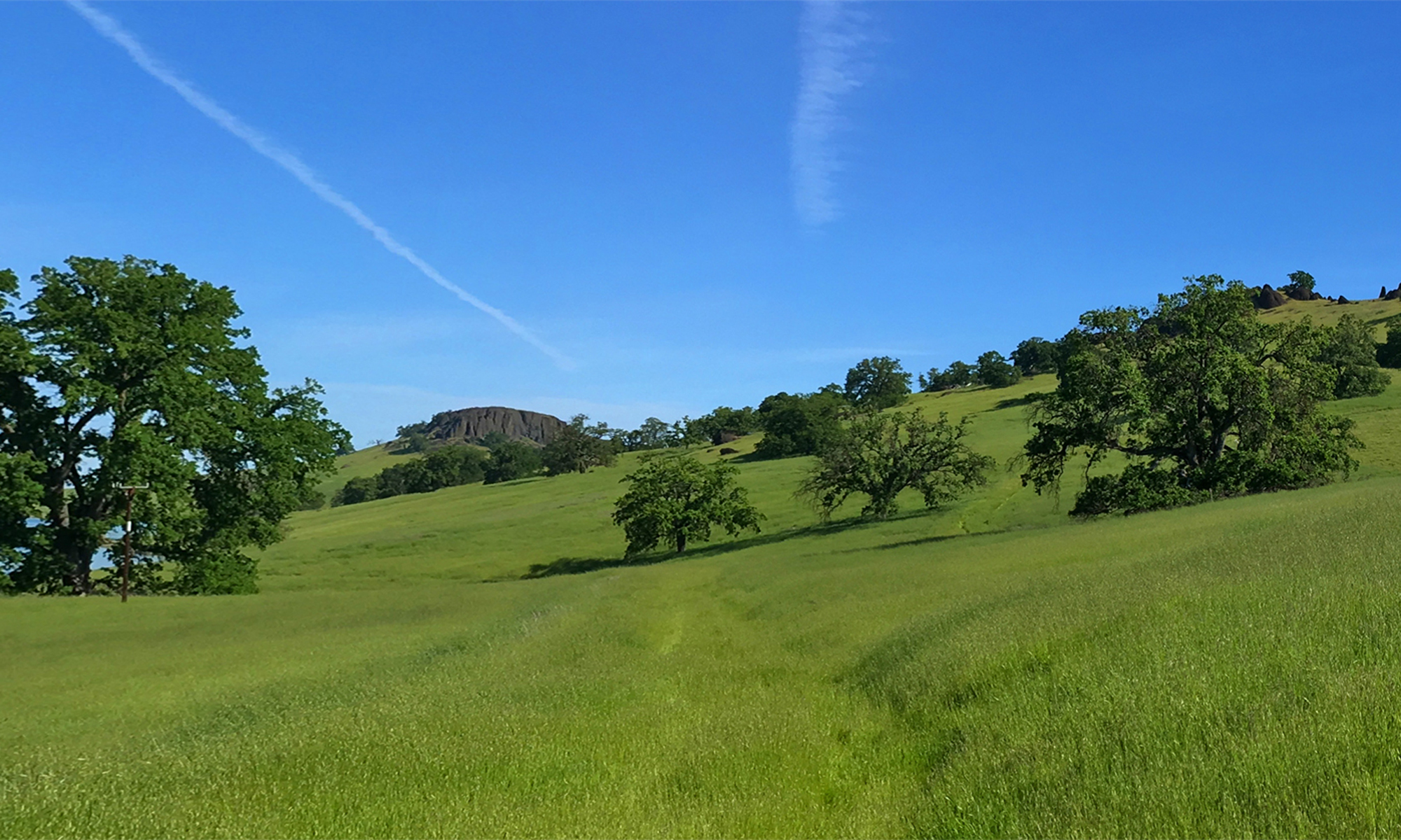
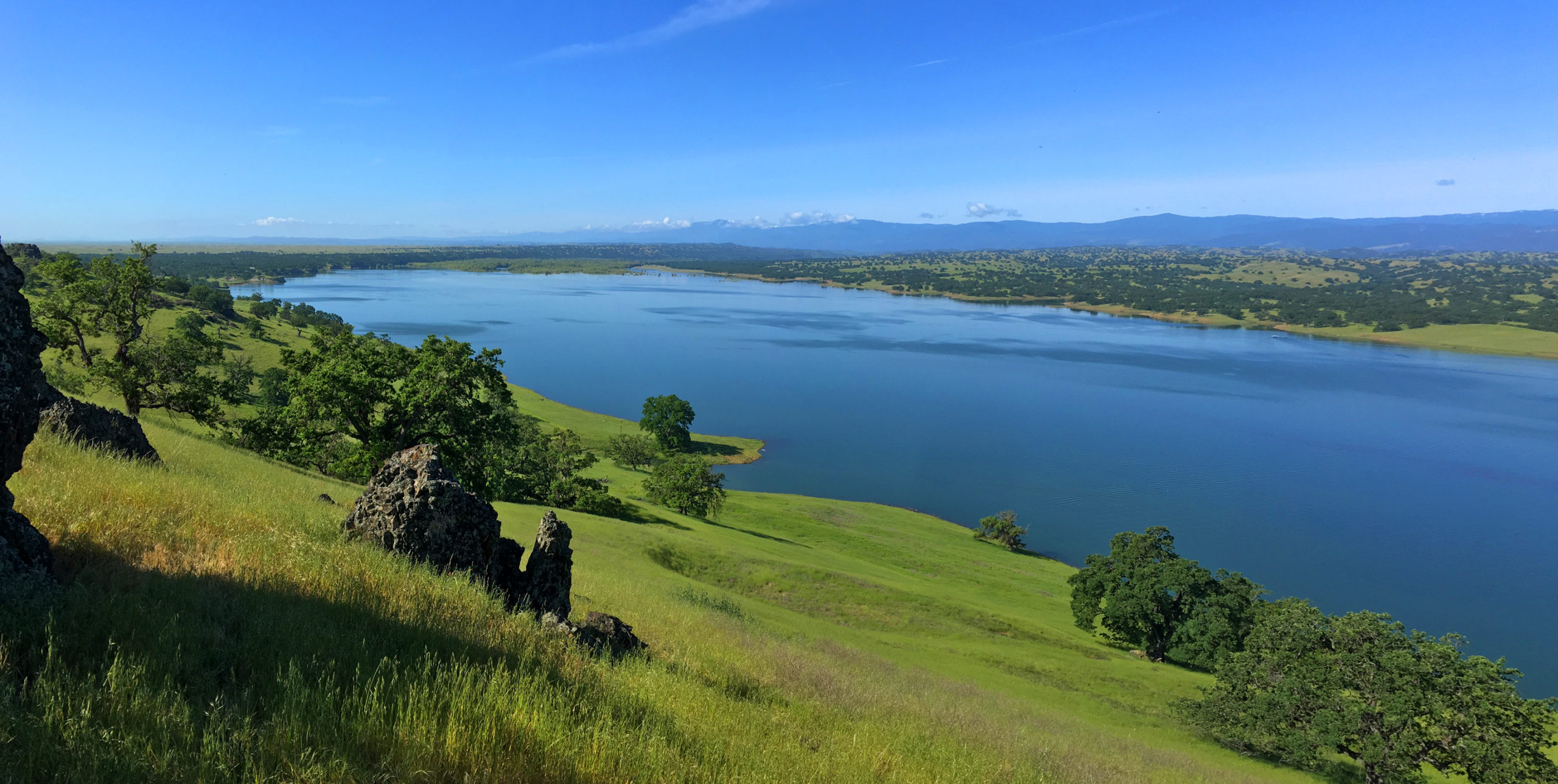
Black Butte Lake from Eagle Pass is a green and alive in the springtime.

The hike from Eagle Pass to the Paul Thomas Trail can only be done in the springtime while the grasses are green before the summer sets in and the weather is still cool enough to be outside in the valley. The view from Eagle Pass you hike up to is incredible. It looks over to Black Butte, the lake itself to the west and the Coastal Mountain Range that spans the horizon running from the north the south that disappears to sight. Continue reading “Hiking Eagle Pass to Paul Thomas Trail”

Hiking Polomarin Trailhead to Wildcat Camp (Coast Trail)

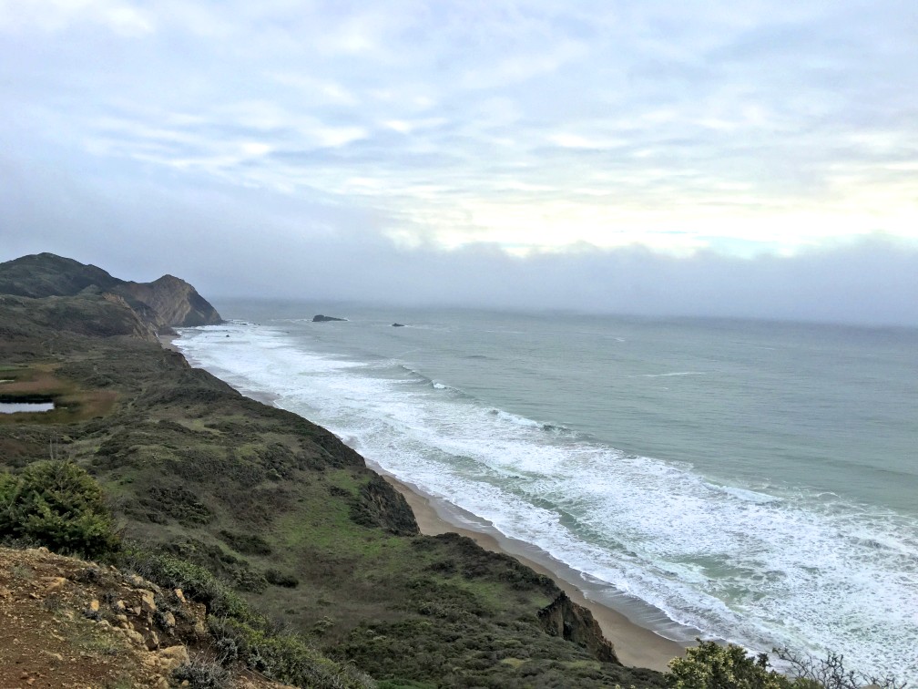
The Coast Trail offers sweeping views of the Pacific Ocean.

Hiking the Coast Trail from the Polomarin trailhead to Wildcamp Camp is like hiking Highway 1. It’s extraordinary with its views of the ocean on one side and forests on the other.

Most take this trail to hike to Alamere Falls, where the trail offshoot is at nearly four miles in. At the time I took this trail, the Alamere Falls cutoff was mostly overgrown and difficult to ascertain. It seemed like it wasn’t being well-maintained. Some say there is a sign there, but I did not see one when I hiked by, but someone made an arrow marker on the ground (not permanent) marking the intersection. Part of the overgrowth was poison oak, but nonetheless that doesn’t deter people from hiking to the falls. But if you go on, there’s more to see. Continue reading “Hiking Polomarin Trailhead to Wildcat Camp (Coast Trail)”

Hiking Thunder Mountain

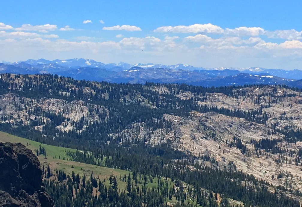
The views to the south of Thunder Mountain can be spectacular if the climatic conditions are right and there is at least some snow on the mountaintops in the distance.

This sometimes heavy breather of a hike to Thunder Mountain has outstanding views of mountaintops and ranges and overlooks vast swaths of trees and granite, meadows and forested hiking. At slightly over three miles in, and after some of the heaviest climbing on the trail, you come to the vista that can make you stop hiking and just gaze at the landscape. As you look to the south, you can see mountain peaks in the distance – probably in the Stanislaus National Forest – some with snow on them. If there are clouds in the over them, it’s an even more powerful view. Continue reading “Hiking Thunder Mountain”

Billy’s Hill and Glascock Mountain

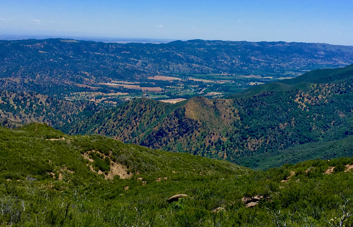
The north end of Capay Valley from Glascock Mountain where some of the farms can be seen.

The hike up Billy’s Hill and then over to Glascock Mountain can be a butt kicker, but it is worth it. This land is overseen by the Bureau of Land Management, so you can hike on it. Once you climb over the green gate, you will see there is no trail up Billy’s Hill, so the best way, albeit steep, is to hike a game trail. You may have to stop and rest on the up, which took me a little more than an hour to climb the 19 percent one-mile grade. The 980 foot ascent takes you from a starting elevation of 798 feet to 1778 feet. Continue reading “Billy’s Hill and Glascock Mountain”