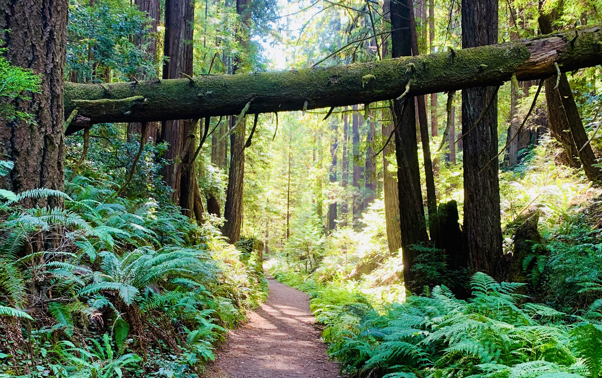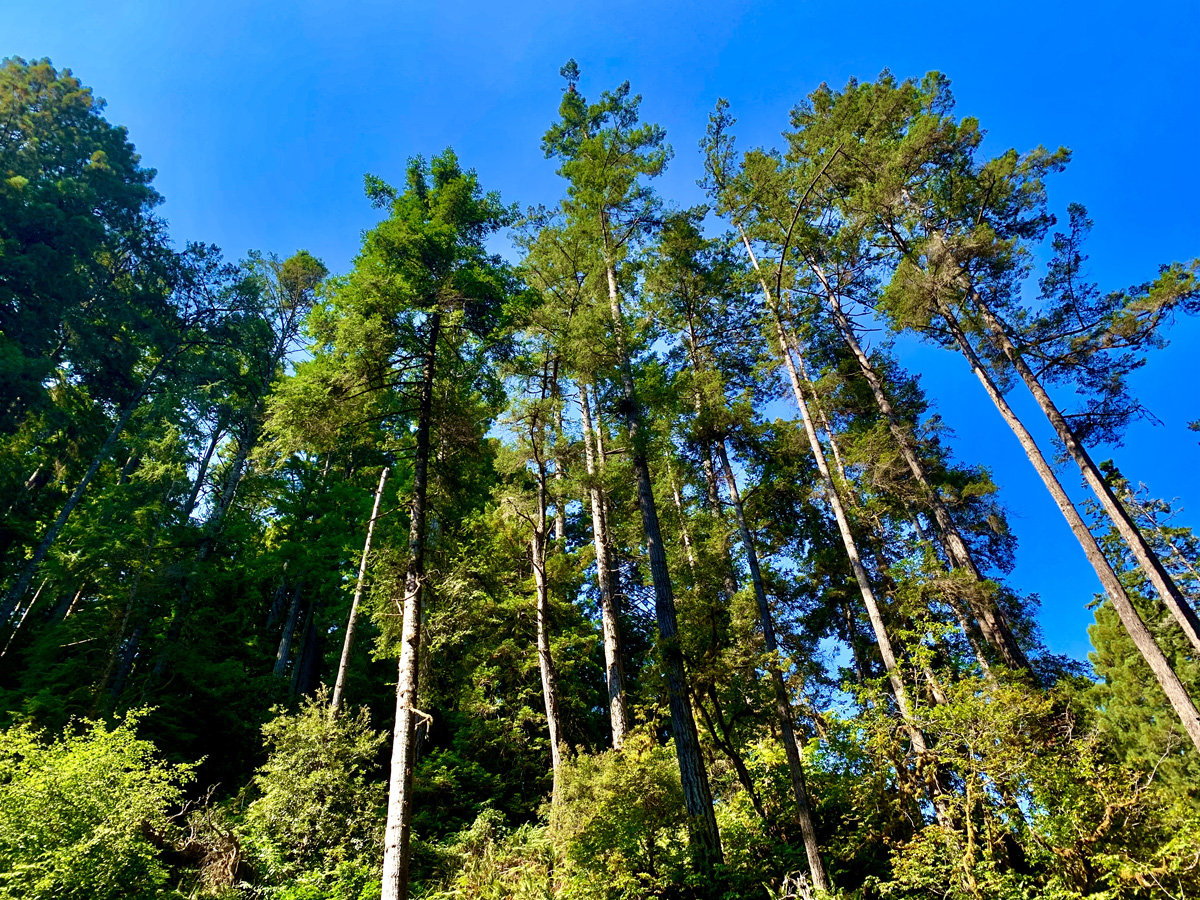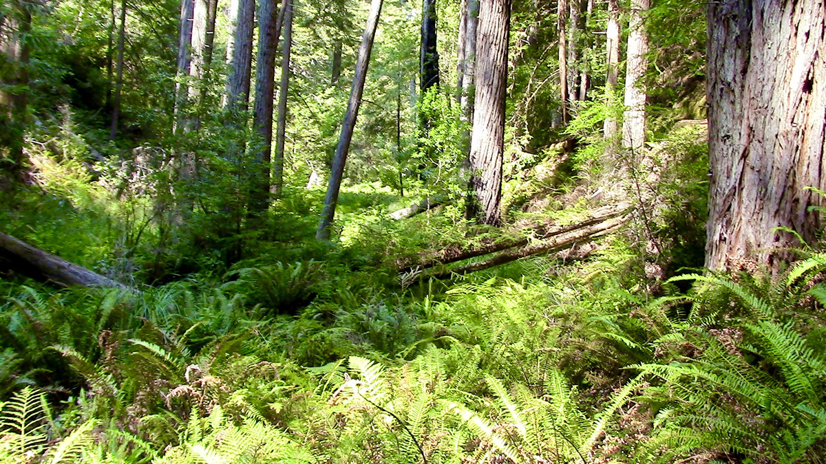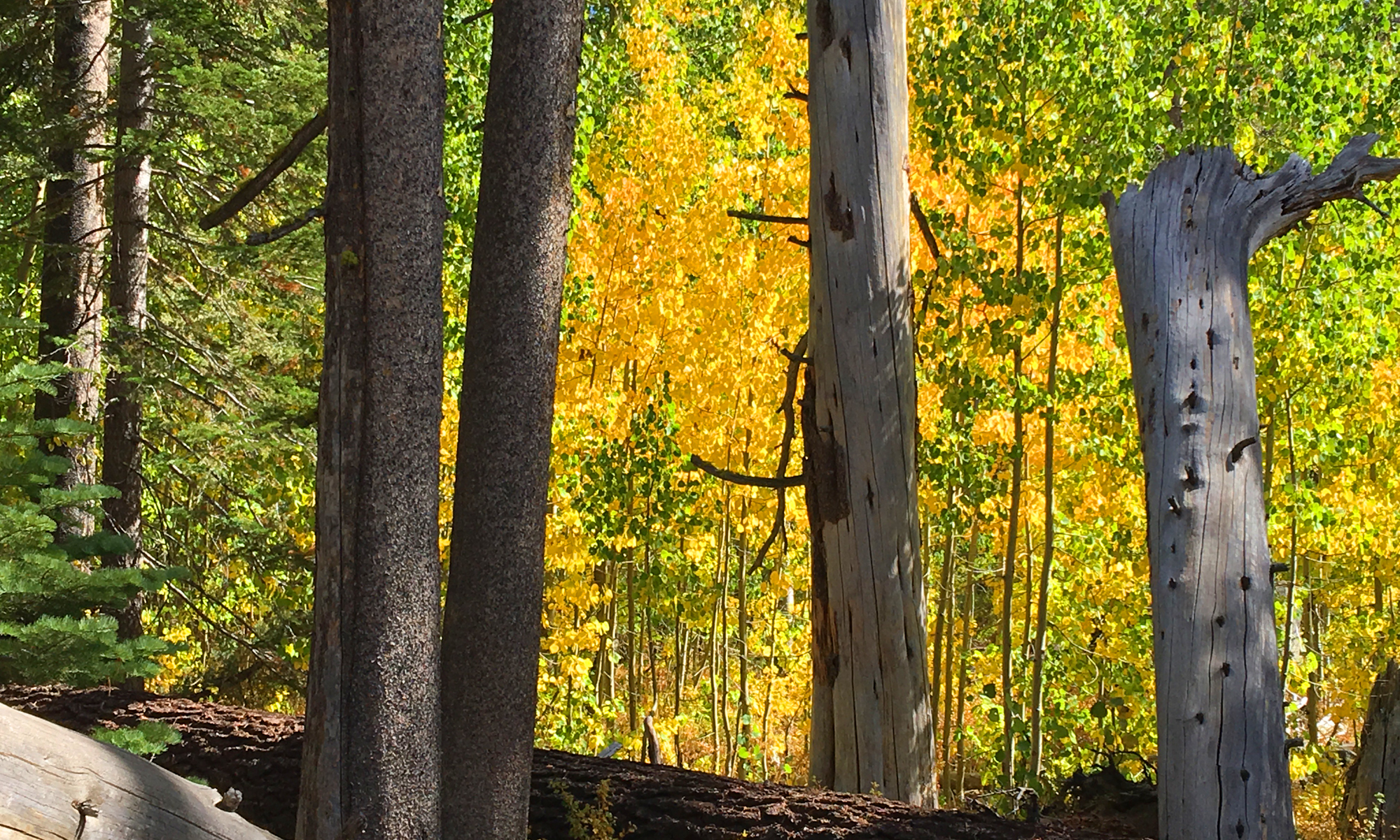
Up on the Northern California Coast just south of Fort Bragg in the Van Damme State Park is Fern Canyon. The deeper you go into the canyon, the better it gets. You will hike among the redwoods and lush ferns.
The very green 8.3 mile trail follows the Little River and can be muddy here and there, but nothing bad. The overall hike is more like a nice stroll through the forest with only a small area where your heart will probably thump a little. As you hike, take in the thick greenery all around you. If you were to go off trail, it would be easy to disappear in the thick forest and enjoy the solitude.

At about 2.5 miles in on the trail, you come to a fork. We went right, and after about .2 miles, a climb starts. The first .1 mile is over a 28 percent grade, and then the trail eases to a 3.1 percent grade over .9 miles. After that, you’ll come to a fork. Go right, and it’ll take you to the Pigmy Forest, and go left, and you’ll start to loop back around. We went left and started a descent over .8 miles through a lush single track trail. It was beautiful.
The worst part about this hike was when it was over.

Directions: From Little River on Highway 1, head north for .2 miles and turn right on Park Road. Stop at the Kiosk and where you will pay and then follow the road as far back as it is allowed. Parking closest to the trail is here: 39.276796, -123.780788
The Skinny
Trail: Fern Canyon Scenic Trail
Trailhead Coordinates: 39.276830, -123.780680
Trailhead Elevation: 55 Feet
Distance: 8.3 Mile – Lollipop
Level of Difficulty: 🟡
Average Grade: 2.7%
Steepest Grade: 28% Over .1 Miles
Ascension: 1103 Feet
Trail Condition: 🟢🟢🟢🟢
Scenery: 🟢🟢🟢🟢
Nearest Town: Little River
Challenges: Did not experience any
Traffic: 🥾
Highlights: Redwoods, Ferns, Greenery
Best Time: Spring, Summer, Fall
Hazards: Slip Hazards
Wildlife Concerns: Bears, Mountain Lions
Cell Service: 📵 (AT&T)
Would I Do This Hike Again?: Absolutely
Parking: $8 At The Time Of This Writing For Day Use
Restrooms: In the park. There might be an outhouse along the trail, but it’s best to go while still where the restrooms are along the pavement.
