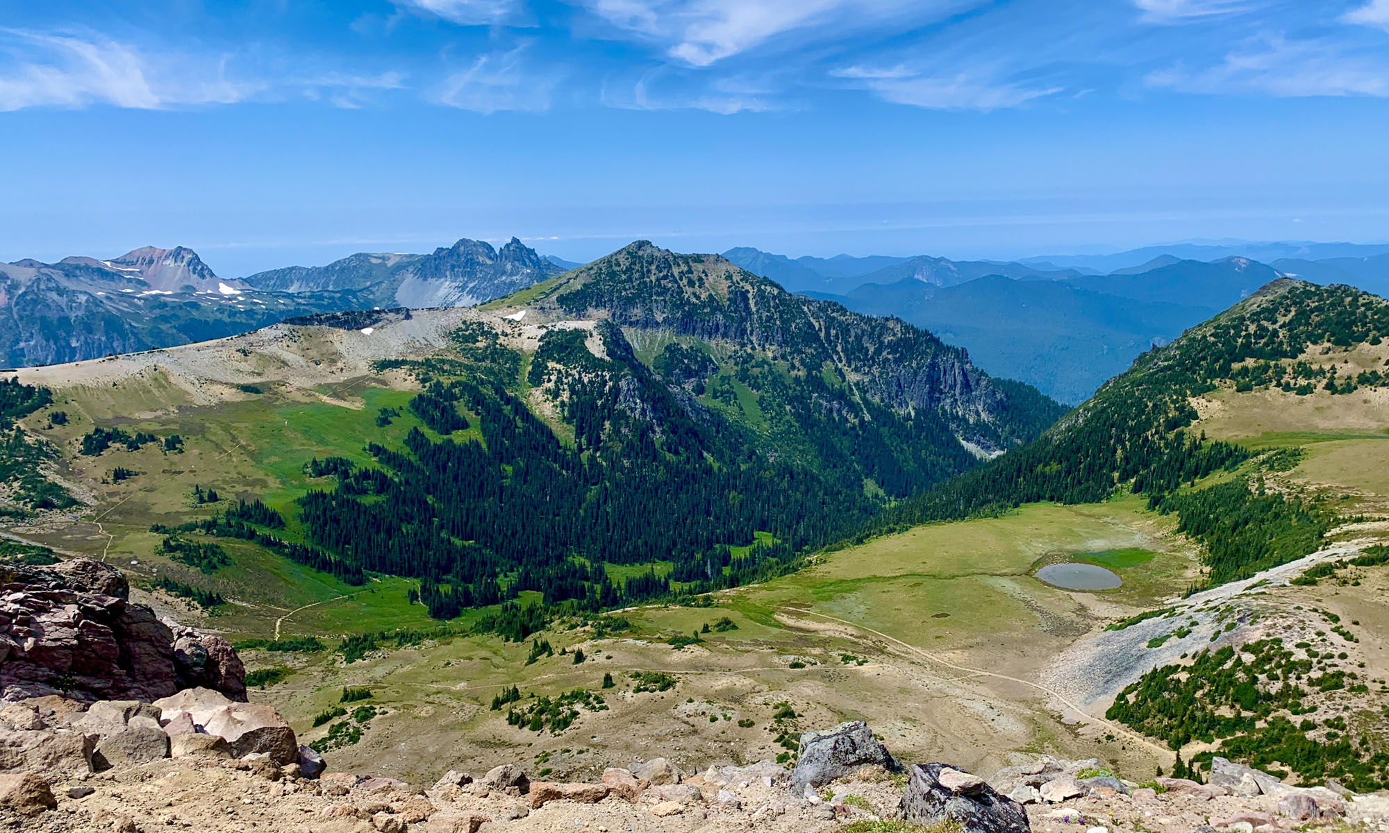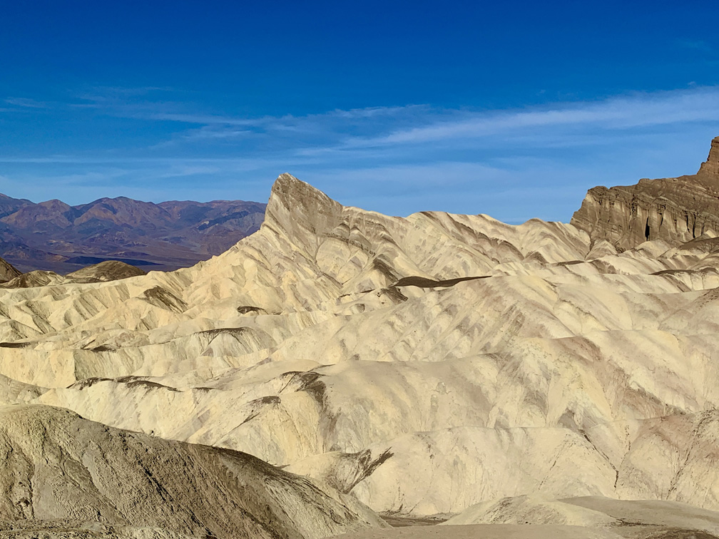
The Golden Canyon and Gower Gulch Loop in Death Valley National Park is a great hike over barren desert hills and through canyons and washes. But you have to like the desert to want to do this hike.
There are two different places to start this loop from; the Zabriskie Point parking lot or from the Golden Canyon Trail parking lot. They are on opposite sides of the loop trail from each other. We started from the Zabriskie Point side to take in the view from the Point, and then headed back down to the trailhead.
The descent down is on a single track. Along the way you hike with the canyon hills on both sides of you until you are about .4 miles when you come to the Zabriskie Point Junction.
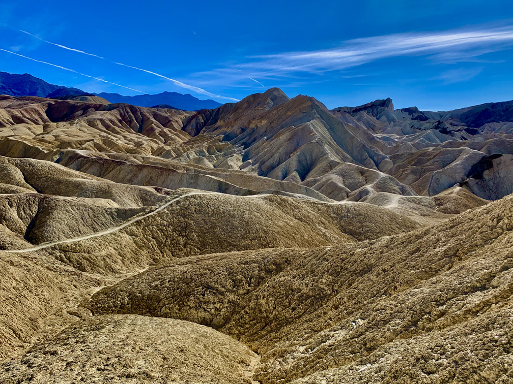
At the junction, you can go straight to Gower Gulch or you can take the Golden Canyon Trailhead where the trail ascends. We decided to climb back up where the views and patterns in the hills were fantastic. The trail is on hard ground opposed to Gower Gulch, which is covered in loose gravel. If we were to do this hike again, we would go through Gower Gulch and head down on the slight grade.
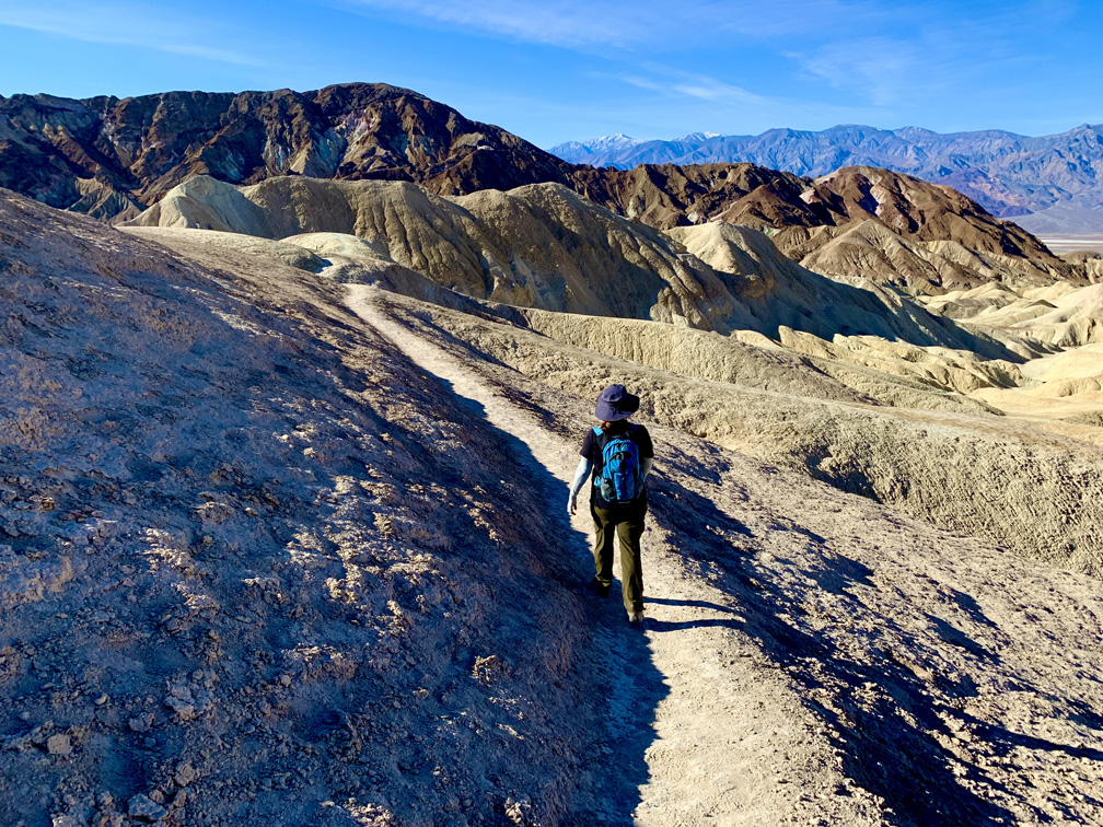
It’s easier to hike down Gower Gulch and come back around on the harder surface of the higher trail, even though the grades are a bit steeper in parts and there is climbing on it, it’s not as difficult as it looks.
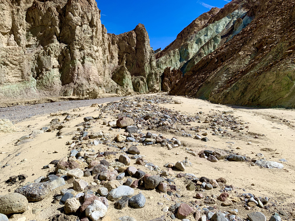
Once you reach the Golden Canyon Trailhead, there is a vault toilet in the parking lot if you need to use it. The trail heads south out of the parking area for about .7 miles toward Gower Gulch. While you hike this stretch, you actually dip down to about 162 feet below sea level.
Through Gower Gulch, there is some scrambling where you have to climb over rocks in a few places early on. It’s not difficult, but you may want to move slower over the rocks so you don’t fall and hurt yourself.
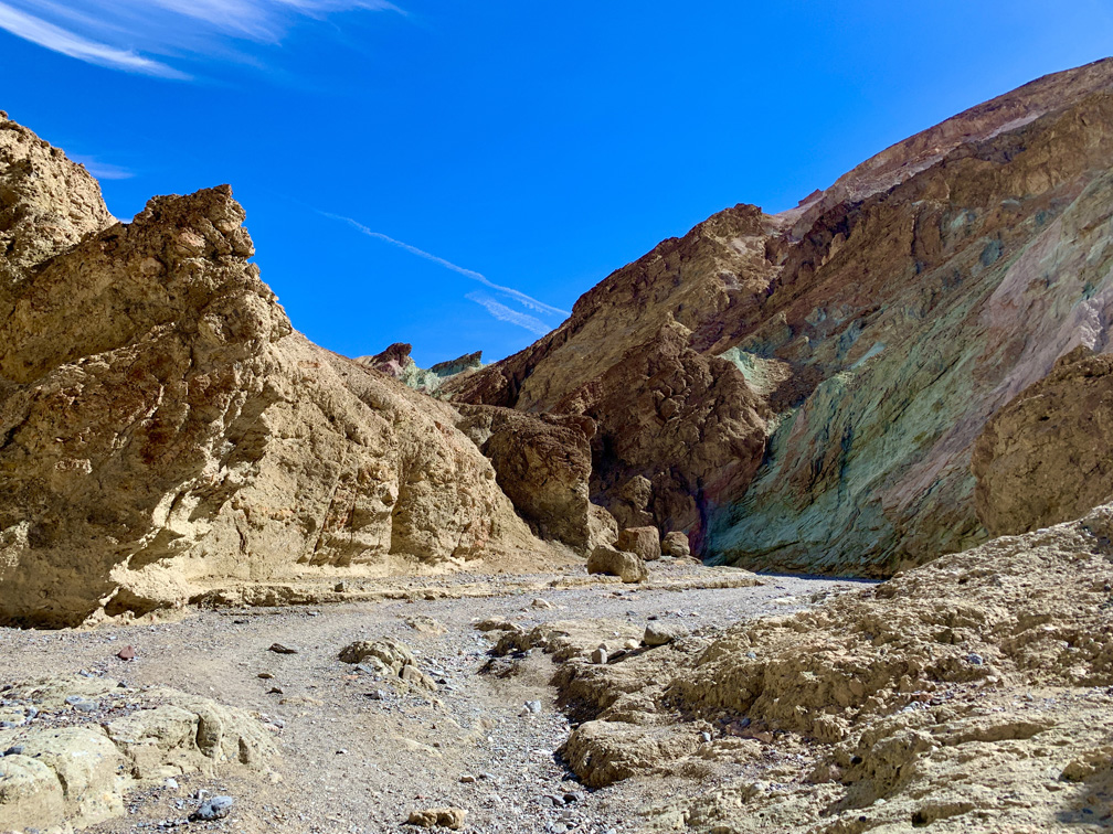
One thing about the heat in Death Valley is that it’s a dry heat. When we were there in February, the temperature was in the high 70s, but it felt like the 90s, so be sure and take plenty of water. Depending on where the sun is, you may find a shady place in the shadows to sit for a bit and rest if you need to.
Directions: From Furnace Creek take California Highway 190 East for 4.6 miles. Turn right onto Zabriskie Point Road. Parking is here: 36.421778, -116.809647
The Skinny
Trail: Golden Canyon and Gower Gulch Loop
Trailhead Coordinates: 36.420800, -116.810067
Trailhead Elevation: 670 Feet
Distance: 6.3 mile – Lollipop
Level of Difficulty: 🟡
Average Grade: 5%
Steepest Grade: 11.4% over .4 miles
Ascension: 895 Feet
Trail Condition: 🟢🟢🟢🟢
Scenery: 🟢🟢🟢🟢 – If you like desert hills and gulches
Nearest Town: Furnace Creek
Challenges: Heat, Gravel Hiking
Traffic: 🥾
Highlights: Views, Natural Color of the Hills and Gulch
Best Time: Late Fall, Winter
Hazards: Heat, Lack of Water
Wildlife Concerns: Rattlesnakes
Cell Service: 📱 & 📵
Would I Do This Hike Again?: Yes
Parking: Parking Lot at the trailhead. $30 to enter the park good for 7 days.
Restrooms: Vault toilets at both trailheads
