The High Peaks Trail at Pinnacles National Park is fun but is also physically exerting in places. There is also the possibility you will see California Condors perched or in flight.
Since we did a loop, there are different parking lots to start the hike from, and we started from the High Peaks Trailhead at the end of Pinnacles Road where there is a small parking lot.
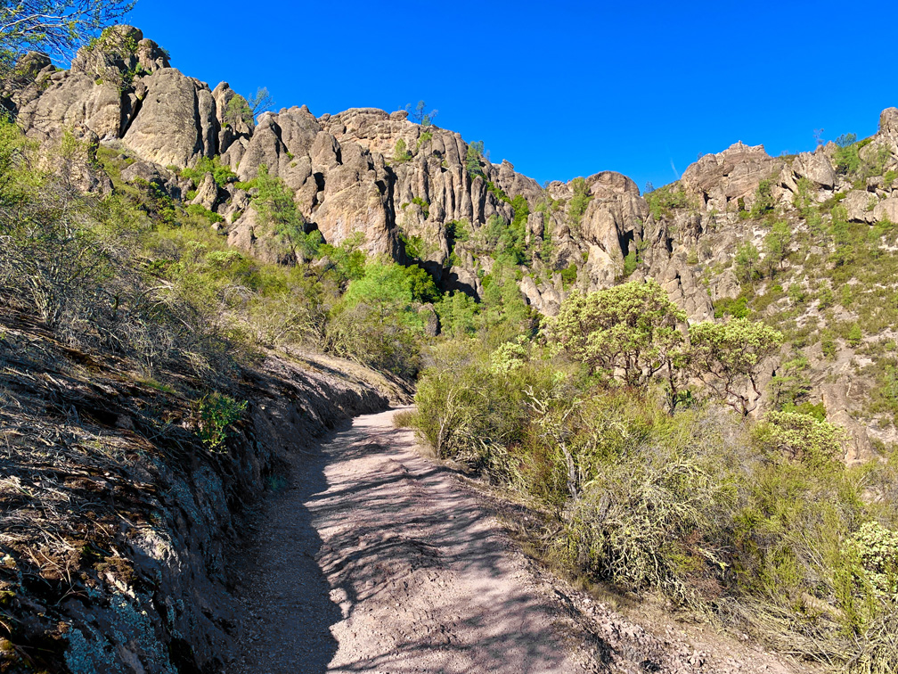
As you begin your hike, the ascent starts under oak trees. You will ascend approximately 1328 feet on an almost 10 percent grade, but it seems easy. The majority of the trail is exposed, and this is part of what makes the hike difficult. The day we hiked it, the high was 74 degrees. It felt like it was in the high 80s. Water is a must. I saw a sign that said trail conditions can become very hot, and it advised taking a gallon of water with you.

After you reach the top of the switchbacks, you’ll come to the Juniper Canyon Trail Junction. There’s a restroom at the top. From here on you will have the best opportunities to see the condors if they are present. The hike is pretty easy as you continue on the High Peaks Trail until you hit the 3-mile mark, where some pretty steep climbing comes into play.
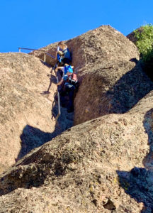
For .1 mile, you will hit an 18 percent grade, and on part of that climb there are steps carved into the stone with railing placed into the stone to help you climb. Also, parts of the trail are narrow. Railing is installed on one side, as you hike very close to the cliff wall.

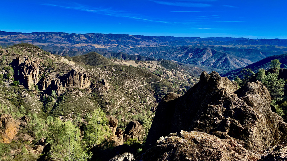
Once you reach the top, it’s pretty much downhill the rest of the way, but there are incredible views of the rock formations to the north. Stop and take them in. Also, at one point, we found ourselves sharing the trial with a tarantula, which was fun to watch.
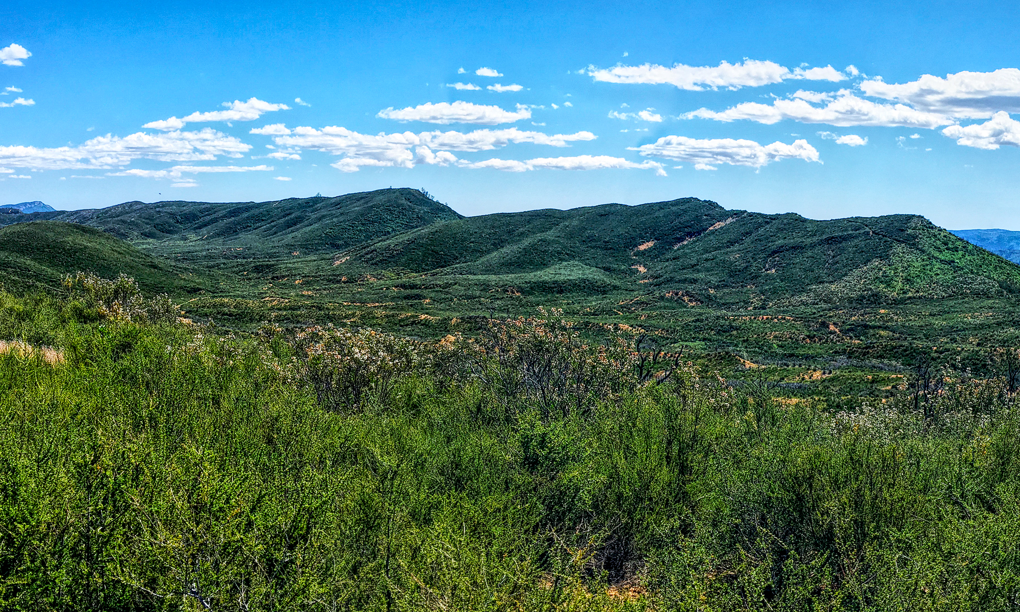
As we moved on, we came to the Condor Gulch Junction, and while we intended to continue on the High Peaks Trail, the heat felt so hot that day, we opted to take the Condor Gulch Trail and head back to the parking lot. While on the trail, we did see a condor soaring over the hills ahead of us. It was nice to watch it fly around.
That day we only saw three condors. From the High Peaks Trail, we saw one perched and another soared in the distance. Then we saw the one closer as we hiked on the Condor Gulch Trail. I don’t know if it makes a difference, but we did this hike in early November. A couple of years earlier, I did this hike in February, and I saw several condors.
Directions: From Hollister, take Highway 25 south for 28.2 miles. Turn right on Highway 146 which will take you into the park. Follow it to the Bear Gulch Day Use Area and follow the road to the end where parking lot is. If parking is filled back track to another parking area you passed coming in. This parking area is small, so arrive early in the morning to get a spot. Parking is here: 36.478512, -121.183574
The Skinny
Trail: High Peaks Trail
Trailhead Coordinates: 36.478512, -121.183574
Trailhead Elevation: 1365 Feet
Distance: 6.3 Miles – Loop
Level of Difficulty: 🟡
Average Grade: 9.6%
Steepest Grade: 18%
Ascension: 1552 Feet
Trail Condition: 🟢🟢🟢🟢
Scenery: 🟢🟢🟢
Nearest Town: Tres Pinos
Challenges: Steep Climbing
Traffic: 🥾🥾
Highlights: Condors, Views
Best Time: Fall, Winter, Spring
Hazards: Dehydration, Heat
Wildlife Concerns: Mountain Lions, Rattlesnakes
Cell Service: 📱 (AT&T)
Would I Do This Hike Again?: Quite Possibly
Parking: Parking Lot At The Trailhead, but is Small. $30 To Enter The Park Good For 7 Days
Restrooms: At The Trailhead In The Parking Area, On The Trail
