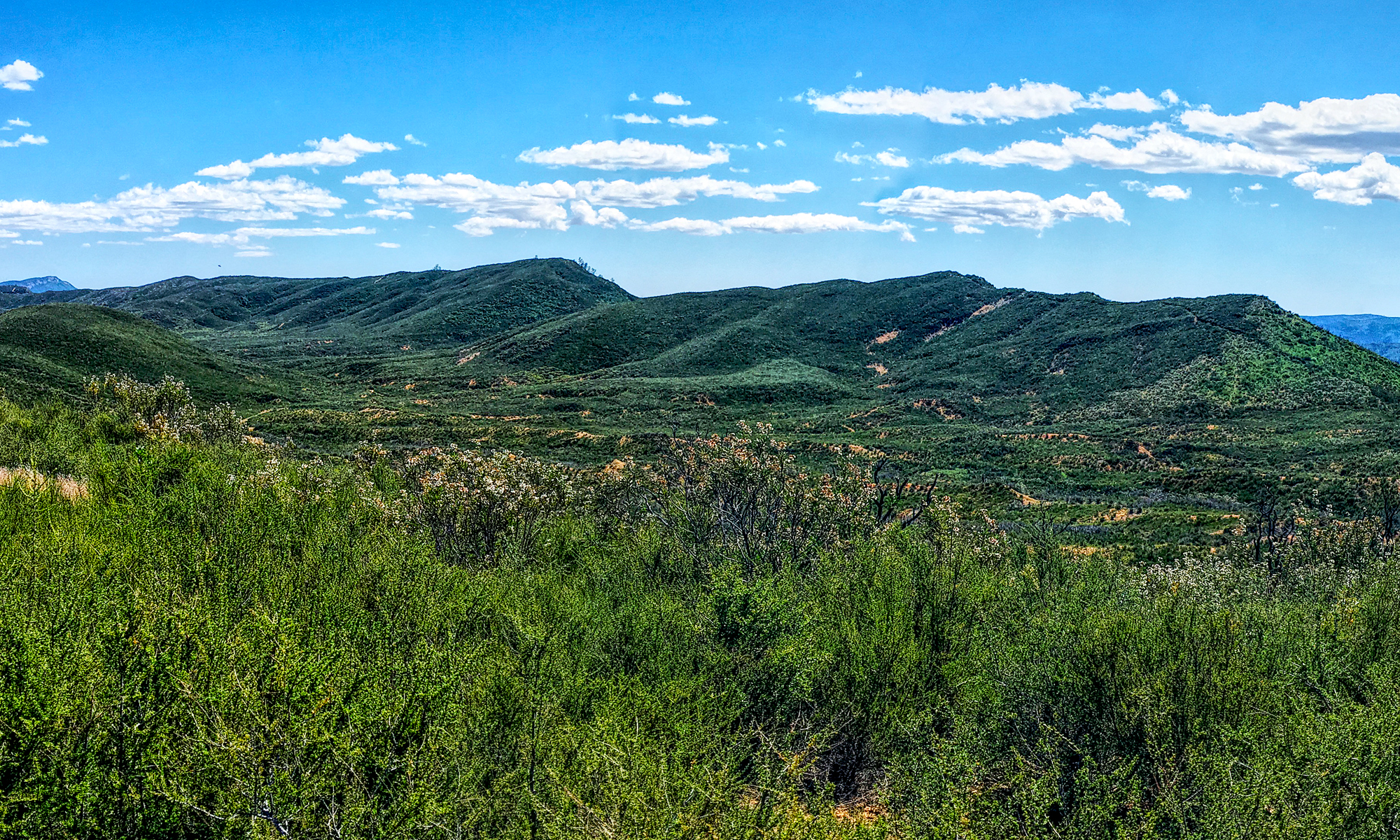
The hike at Salt Point State Park takes you through forests, over meadows, and by the seaside. The area is diverse while green and lush in parts while exposed and dry in others. Along the way you will hike amongst redwood trees, Douglas fir, and madrone among other trees.
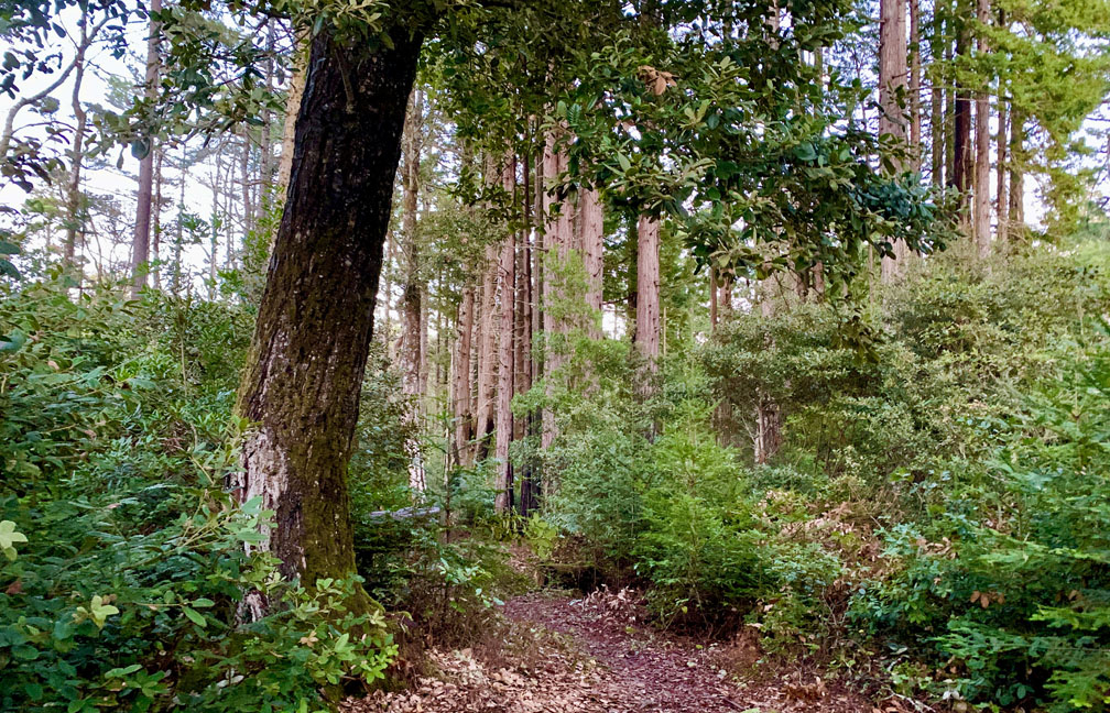
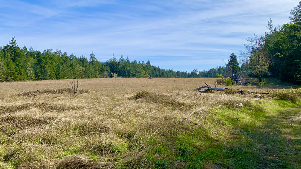
The hike starts off on a service road and climbs on an 8.6 percent grate for 1.3 miles. Once you reach the top of the climb and emerged from the canopy, we began to see an enormous meadow to our left. At this point, you can also hike to the Pygmy Forest, which was what we planned on doing, but the trail was closed. Instead, we hiked on about another half mile to a junction, and took a left across the meadow into another part of the forest where we found ourselves amongst redwood trees.
We descended under the canopy of the redwood trees, and then we hiked back up .4 miles to Seaview Road. About .3 miles of that climb was on a 10.6 percent grade, and we could have turned off and taken Plantation Trail, but it was also closed. Once we reached Seaview Road, we actually had to road hike on it and turned onto Kruse Ranch Road for a total road hike of about 2.88 miles. While this was unanticipated and not desirable, the road hike area did offer some beautiful scenery.
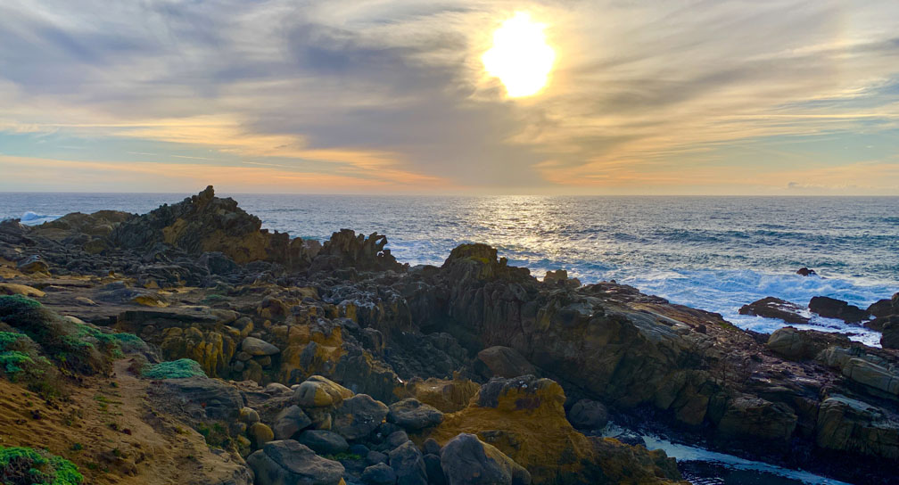
We came to Stump Beach Trail, and we followed it down to Highway 1 where it came out in a parking area. We crossed the highway and entered another parking area and headed down to Stump Beach Cove. From here, the hike was exposed on the Salt Point Trail that offered commanding views of the Pacific Ocean.
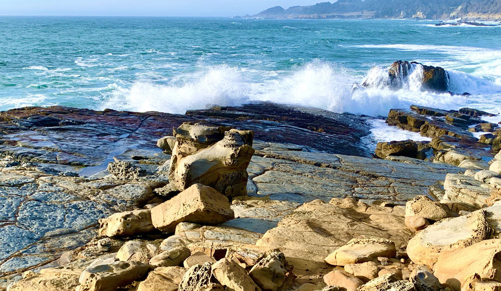
We hiked about 1.1 miles looking at the ocean and the sandstone and tafoni shore before we turned inland after reaching the campgrounds on the west side of Highway 1 and then proceeded back to where we parked near the trailhead.
Directions: From Jenner on Highway 1, travel north for 18 miles. The turn to where we parked was on the right and started our hike. Another entrance to Salt Point State Park is up ahead on the road just a little way on the right.
The Skinny
Trail: North Trail, Prairie Trail, Stump Beach Trail, Salt Point Trail At Salt Point State Park
Trailhead Coordinates: 38.570050, -123.318650
Trailhead Elevation: 410
Distance: 9 Miles
Level Of Difficulty: 🟡
Average Grade On Overall Uphill:
Steepest Grade: 10.4% over .8 miles, 11.2 over .2 miles
Ascension: 1564 feet
Trail Condition: 🟢🟢🟢🟢
Scenery: 🟢🟢🟢
Nearest Town: Jenner
Traffic: 🥾
Highlights: Scenery
Best Time: Spring, Summer, Fall
Wildlife Concerns: Bears, Mountain Lions, Skunks
Cell Service: 📵, 📱 (AT&T)
Would I Do This Hike Again?: Probably Not
Parking: $10 At The Time Of This Writing
Restrooms: In The Parking Area