The Steep Ravine Trail at Mount Tamalpais State Park is a beautiful trail to hike, and I’ve written about it previously. I combined this trail with the Matt Davis Trail to make a loop on the west side of Mount Tamalpais.
We started out on the Dipsea Trail at Stinson Beach and hiked it to Steep Ravine Trail and then took it to the Matt Davis Trail, which put us back down at Stinson Beach.
Hiking Steep Ravine Trail by itself is a fantastic hike. The Redwood trees grow all around, and running water of Webb Creek flows downhill next to the trail. And if it’s been raining, it makes this hike even better, as the waterfalls flow even more.
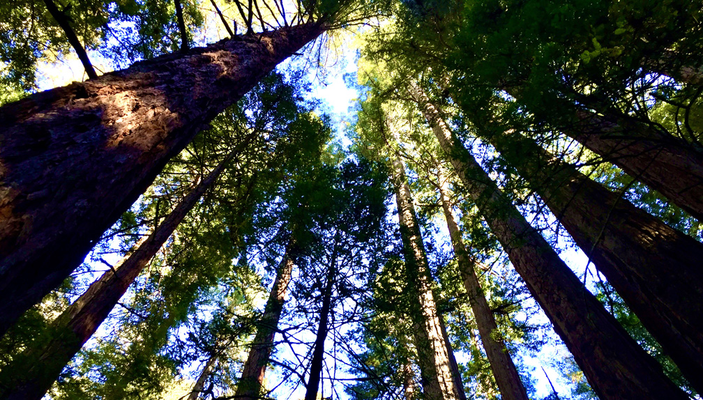
Once you get to the trail, you will climb on a 10.7 percent grade for 1.7 miles. If it has rained, the trail could be really muddy in places, so you may want to watch your footing. As you hike up, you will meander next to Webb Creek through the canyon next to lush ferns.
The trail crosses several wooden bridges that interweave over the creek, and you’ll have to climb up a 10-foot ladder and duck under fallen trees that cover the trail, and this is part of what makes the hike fun.
Once you get to the top of Steep Ravine Trail, you emerge at the Pantoll camping parking area. There are toilets here, and some picnic tables if you want to stop here for lunch before continuing on.
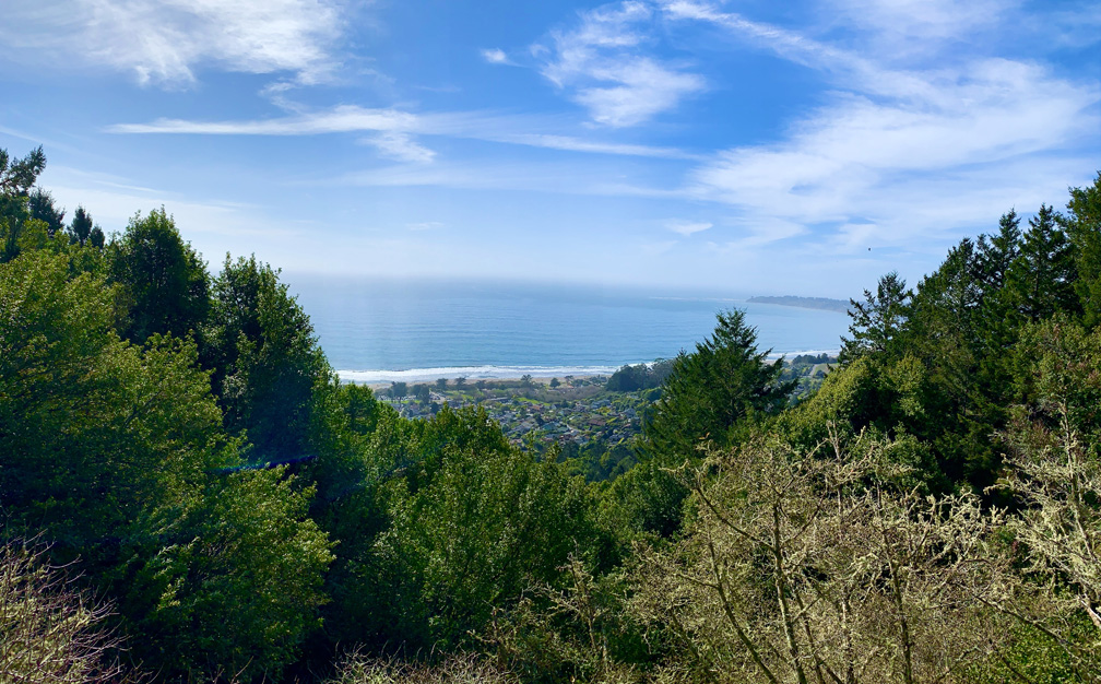
After you decide to continue, you will have to cross Panoramic Highway where the Matt Davis Trail picks up on the other side. The views from the trail can be fantastic as you hike along the slopes looking out over the hills to the Pacific Ocean. This area of the hike, though, is exposed for about 1.2 miles.
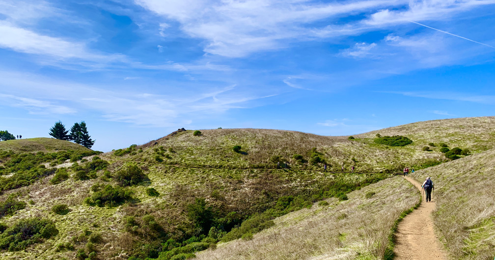
Once you reach the point where the Matt Davis Trail starts to descend, you will find yourself back under canopy. The hike down is 2.7 miles, and it can be jarring on the knees, where there are steps. You may want to bring trekking poles to assist you on the climb down, which may relieve some of the pressure you put on your knees over the 10.7 percent grade.
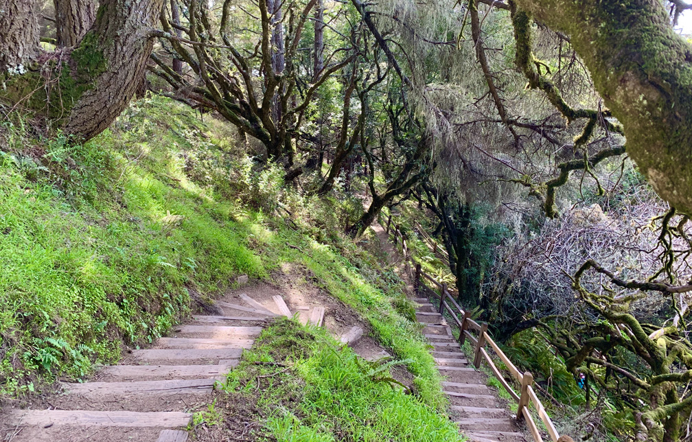
This loop trail comes out right near where we started at the Dipsea Trail at Stinson Beach.
Directions: From Mill Valley, Take Panoramic Highway to Stinson Beach Federal Park in Stinson Beach. Continue to the Stinson Beach Parking Lot here: 37.897491, -122.639847
The Skinny
Trail: Steep Ravine Trail To Matt Davis Trail
Trailhead Coordinates: 37.897830, -122.637240
Trailhead Elevation: 27 Feet
Distance: 6.9 Mile – Loop
Level Of Difficulty: 🟠
Average Grade: 9.8%
Steepest Grade: 20.6% Over 333 Feet
Ascension: 2323 Feet
Trail Condition: 🟢🟢🟢🟢
Scenery: 🟢🟢🟢
Nearest Town: Stinson Beach
Challenges: Climbing, Sun Exposure
Traffic: 🥾🥾
Highlights: Redwood Trees, Waterfalls, Views
Best Time: Fall, Winter, Spring
Hazards: Slick Mud
Wildlife Concerns: Mountain Lions, Rattlesnakes
Cell Service: 📱 (AT&T)
Would I Do This Hike Again?: Yes
Parking: Free At The Time Of This Writing
Restrooms: At The Parking Area, At Pantol Campground Parking Area
